Donnington
Settlement in Herefordshire
England
Donnington
Donnington is a small village located in the county of Herefordshire, England. Situated about 5 miles northwest of the city of Hereford, it is nestled in the picturesque Wye Valley, surrounded by beautiful countryside and rolling hills.
The village has a long history, with evidence of human occupation dating back to prehistoric times. It was mentioned in the Domesday Book of 1086, and its name is believed to originate from "Tun of Dunna," referring to a settlement established by a Saxon named Dunna.
Donnington is known for its charming rural setting, with traditional timber-framed cottages and a quaint village green. The local community is tight-knit and friendly, contributing to the village's warm and welcoming atmosphere.
While primarily an agricultural community, Donnington boasts a range of amenities for its residents. These include a village hall, a primary school, a post office, and a local pub, which serves as a hub for social gatherings and community events.
The village is also conveniently located near several notable attractions. The historic city of Hereford offers a wealth of cultural and recreational activities, including Hereford Cathedral, museums, and a vibrant shopping district. Additionally, the stunning landscapes of the Wye Valley and the nearby Malvern Hills provide ample opportunities for outdoor pursuits such as hiking, cycling, and wildlife spotting.
Overall, Donnington is a charming and idyllic village that combines the tranquility of rural living with easy access to nearby amenities and attractions.
If you have any feedback on the listing, please let us know in the comments section below.
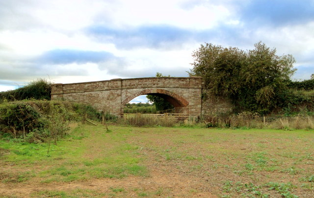
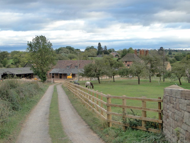
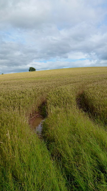
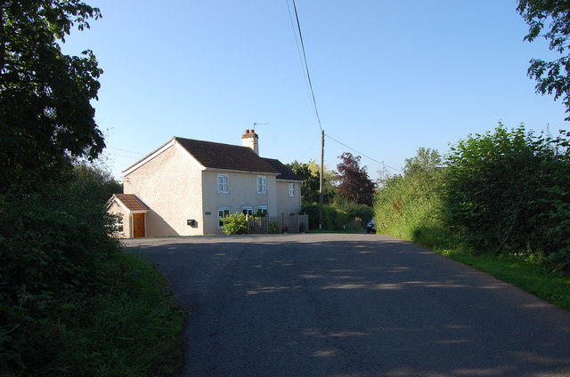
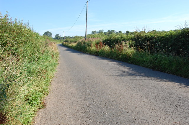
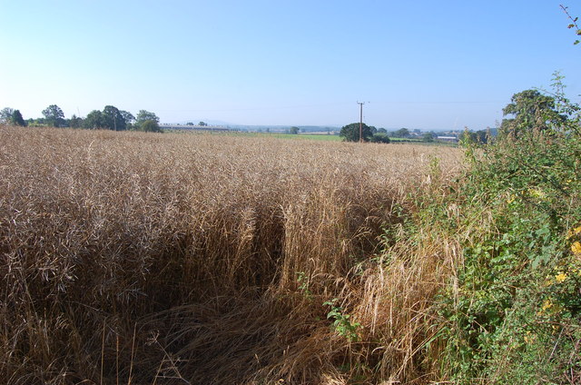
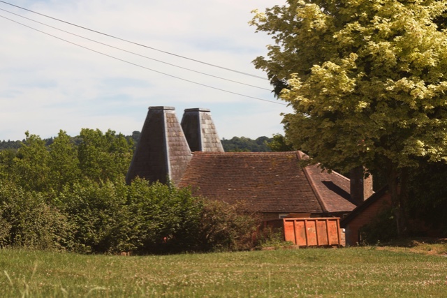
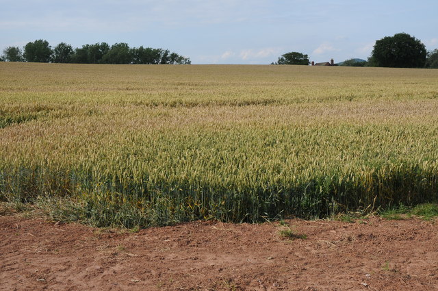
Donnington Images
Images are sourced within 2km of 52.003211/-2.4274276 or Grid Reference SO7033. Thanks to Geograph Open Source API. All images are credited.


Donnington is located at Grid Ref: SO7033 (Lat: 52.003211, Lng: -2.4274276)
Unitary Authority: County of Herefordshire
Police Authority: West Mercia
What 3 Words
///seasons.headrest.geese. Near Donnington, Herefordshire
Nearby Locations
Related Wikis

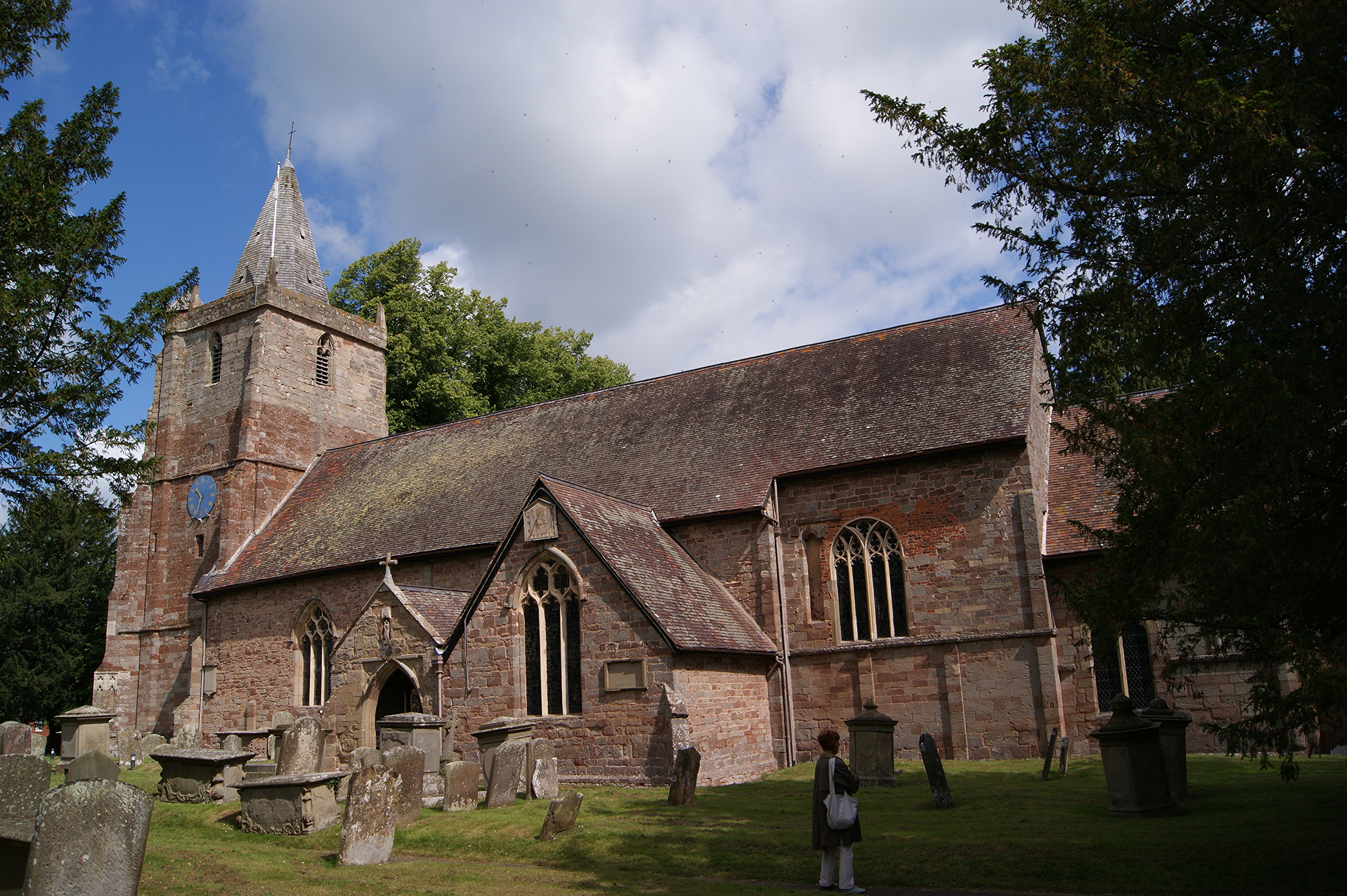
Donnington, Herefordshire
Donnington is a village and civil parish near Ledbury. == Parish church == The parish church is dedicated to Saint Mary. Donnington Hall is located here...

Greenway Halt railway station (Gloucestershire)
Greenway Halt was a request stop on the former Ledbury and Gloucester Railway. It opened on 1st April 1937 and closed in 1959 when the line was closed...

Three Counties (Gloucestershire, Herefordshire and Worcestershire)
The Three Counties of England are traditionally the three agrarian counties of Gloucestershire, Herefordshire and Worcestershire.Including towns and cities...

Parkway, Herefordshire
Parkway is a hamlet centred 2 km (1.2 mi) south of the market town of Ledbury in Herefordshire, England, centred on the direct single-carriageway north...

Vell Mill Daffodil Meadow
Vell Mill Daffodil Meadow (grid reference SO710314) is a 2.1-hectare (5.2-acre) nature reserve in Gloucestershire.The site is owned and managed by the...
St Mary's Church, Dymock
St Mary's Church, Dymock is a Church of England parish church in the center of the village of Dymock in Gloucestershire, England. It is a Grade I listed...

Dymock
Dymock is a village and civil parish in the Forest of Dean district of Gloucestershire, England, about four miles south of Ledbury. In 2014 the parish...

Preston, Forest of Dean
Preston is a village, former manor, civil and ecclesiastical parish in the Forest of Dean in Gloucestershire, England. It is situated 22 km north-west...
Nearby Amenities
Located within 500m of 52.003211,-2.4274276Have you been to Donnington?
Leave your review of Donnington below (or comments, questions and feedback).