Donnington Hall Coppice

Wood, Forest in Herefordshire Forest of Dean

England

Donnington Hall Coppice

Thatched cottage, Dymock
Thatched cottage, Dymock Credit: Eirian Evans

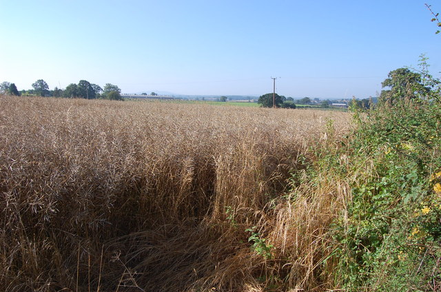
Donnington Hall Coppice is a beautiful woodland located in Herefordshire, England. Covering an area of approximately 100 acres, it is a part of the larger Donnington Hall estate. The coppice is renowned for its diverse range of trees and rich biodiversity, making it a popular destination for nature enthusiasts and outdoor lovers.

The woodland is predominantly composed of deciduous trees such as oak, beech, ash, and birch, which create a stunning display of colors during the autumn season. The trees are well-maintained, with careful management practices in place to ensure the sustainability of the coppice. This includes regular coppicing, a traditional woodland management technique that involves cutting trees at the base to encourage new growth.

Walking through Donnington Hall Coppice offers visitors a serene and peaceful experience. The well-maintained footpaths allow easy access for hikers and provide opportunities to explore the woodland's natural beauty. The forest floor is covered in a thick carpet of moss, ferns, and wildflowers, providing a habitat for a variety of wildlife.

The coppice is home to numerous bird species, including woodpeckers, thrushes, and owls, which can often be heard and spotted amongst the branches. Squirrels, badgers, and deer are also frequently sighted in the area, adding to the charm of the woodland.

Donnington Hall Coppice is not only a place of natural beauty but also holds historical significance. The coppice has been part of the Donnington Hall estate for centuries, and remnants of its past can still be found, including old boundary walls and an ancient well.

Overall, Donnington Hall Coppice is a true gem in Herefordshire, offering a peaceful retreat for nature enthusiasts and history lovers alike.

If you have any feedback on the listing, please let us know in the comments section below.

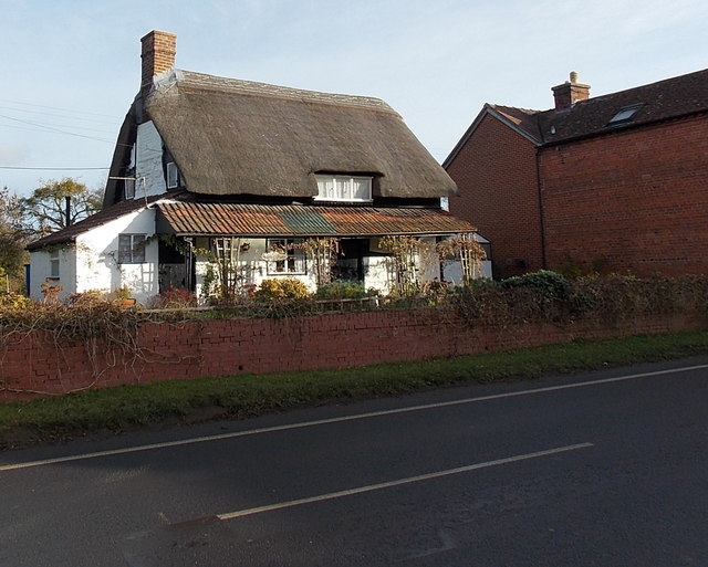
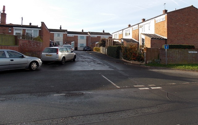
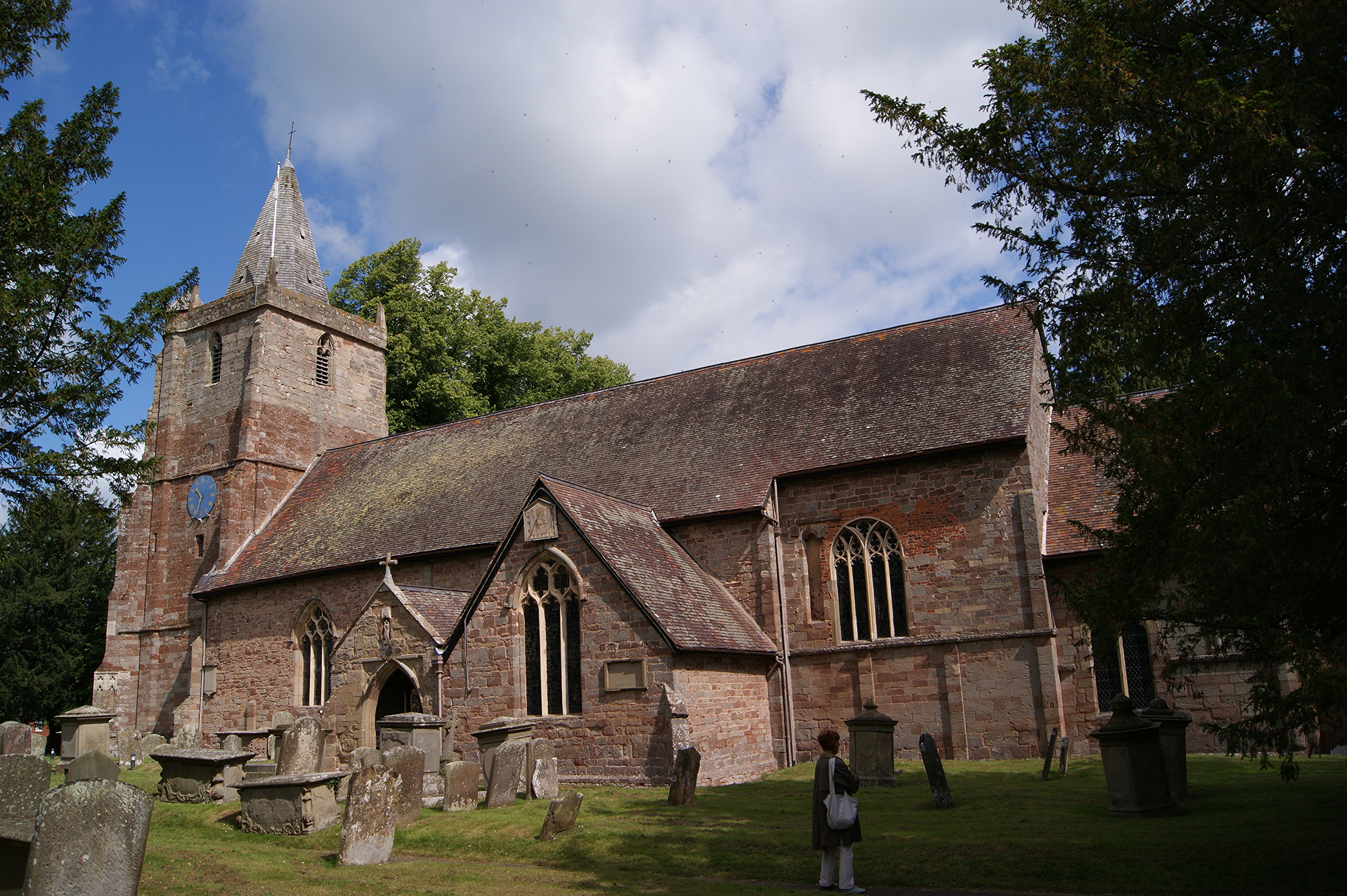
Donnington Hall Coppice Images

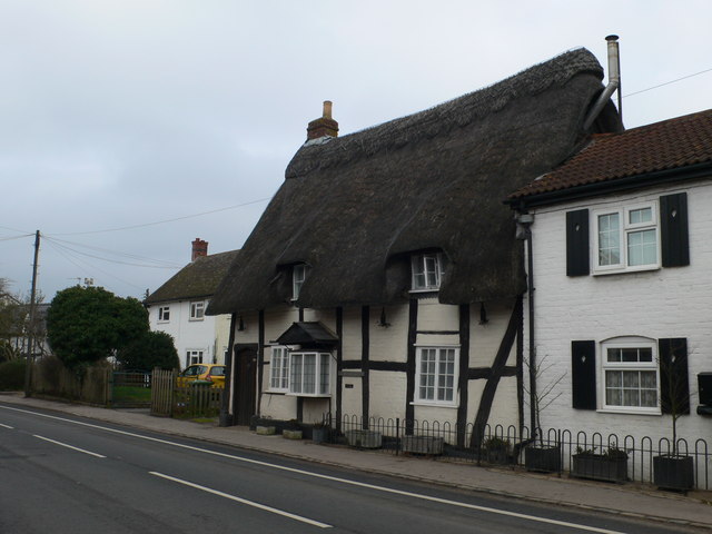
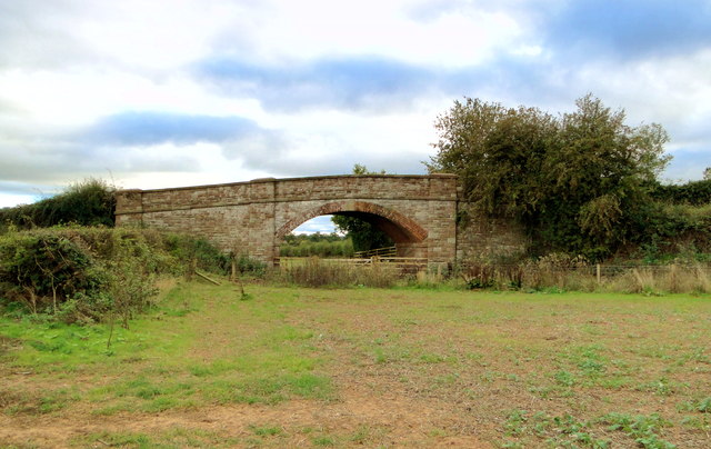
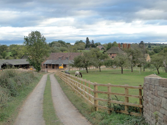
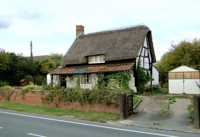
Images are sourced within 2km of 51.995905/-2.4291203 or Grid Reference SO7033. Thanks to Geograph Open Source API. All images are credited.

Thatched cottage, Dymock
Former railway bridge, Tillers Green Beautifully constructed on a slight skew of brick and stone, this bridge took a farm track over the former GWR branch from Ledbury to Gloucester and may one day straddle the rebuilt Hereford to Gloucester canal, which the railway replaced.
Former railway bridge, Tillers Green
Beautifully constructed on a slight skew of brick and stone, this bridge took a farm track over the former GWR branch from Ledbury to Gloucester and may one day straddle the rebuilt Hereford to Gloucester canal, which the railway replaced.
The lane to Pound Farm, Tillers Green Pound Farm dates from the 16th century and is seen from the former GWR railway bridge at Tillers Green.
The lane to Pound Farm, Tillers Green
Pound Farm dates from the 16th century and is seen from the former GWR railway bridge at Tillers Green.
Woods Cottage, Dymock One of a series of ancient timbered cottages lining the village street in Dymock.
Woods Cottage, Dymock
One of a series of ancient timbered cottages lining the village street in Dymock.
The Old Cottage, Dymock Aptly named cruck cottage on the main street in this attractive village, which is forever associated with daffodils and poets.
The Old Cottage, Dymock
Aptly named cruck cottage on the main street in this attractive village, which is forever associated with daffodils and poets.
The Old Cottage, Dymock Aptly named grade II listed house on the main street in Dymock.
The Old Cottage, Dymock
Aptly named grade II listed house on the main street in Dymock.
House near Tillers Green
Unnamed Lane towards Drew's Farm
Oil Seed Rape field near Leddington This is how the familiar yellow fields become when ready for harvest.
Oil Seed Rape field near Leddington
This is how the familiar yellow fields become when ready for harvest.
Recently-built houses in Dymock Viewed across the B4215. The house on the left is The Pippins.
Recently-built houses in Dymock
Viewed across the B4215. The house on the left is The Pippins.
Poets Corner, Dymock Detached house on the west side of the B4215. The name of the house is an allusion to the Dymock poets, a literary group  who lived in or near the village in the early 20th century. Among them were Robert Frost, Rupert Brooke and John Drinkwater.
Poets Corner, Dymock
Detached house on the west side of the B4215. The name of the house is an allusion to the Dymock poets, a literary group who lived in or near the village in the early 20th century. Among them were Robert Frost, Rupert Brooke and John Drinkwater.
No outside broadcast near Windcross Farm Looking north along the B4215. Having already had to walk a stretch of this main road because the nearby public footpath was impassable, I was not keen to relax on the wide verge and watch the TV. In fact my reception was decidedly poor. Is it too much to expect people to use the local recycling facilities?
No outside broadcast near Windcross Farm
Looking north along the B4215. Having already had to walk a stretch of this main road because the nearby public footpath was impassable, I was not keen to relax on the wide verge and watch the TV. In fact my reception was decidedly poor. Is it too much to expect people to use the local recycling facilities?
The Willows, Dymock Cul-de-sac on the east side of the B4215.
The Willows, Dymock
Cul-de-sac on the east side of the B4215.
Former Ann Cam's School, Dymock Viewed across the B4215. The school was named in memory of 18th century Dymock resident Miss Ann Cam who bequeathed money to build a village school. The date stone shows 1825. Grade II listed in 1987. The present-day school is several hundred metres away. <a title="https://www.geograph.org.uk/photo/4031084" href="https://www.geograph.org.uk/photo/4031084">Link</a>
Former Ann Cam's School, Dymock
Viewed across the B4215. The school was named in memory of 18th century Dymock resident Miss Ann Cam who bequeathed money to build a village school. The date stone shows 1825. Grade II listed in 1987. The present-day school is several hundred metres away. Link
The Old Cottage, Dymock The medieval timber-framed thatched house (probably 15th century) was Grade II listed in 1954.
The Old Cottage, Dymock
The medieval timber-framed thatched house (probably 15th century) was Grade II listed in 1954.
Laburnum Cottage and The Old Cottage, Dymock Laburnum Cottage is on the left, The Old Cottage <a title="https://www.geograph.org.uk/photo/4030782" href="https://www.geograph.org.uk/photo/4030782">Link</a> on the right.
Laburnum Cottage and The Old Cottage, Dymock
Laburnum Cottage is on the left, The Old Cottage Link on the right.
Wood's Cottage, Dymock Located near the northern end of the village, the thatched, part timber-framed cottage dates from c1500, altered in later centuries, including a late 20th century extension. Grade II listed in 1987.
Wood's Cottage, Dymock
Located near the northern end of the village, the thatched, part timber-framed cottage dates from c1500, altered in later centuries, including a late 20th century extension. Grade II listed in 1987.
The Crypt, Dymock A 1970s development of houses set back from the B4215 near the northern edge of Dymock.
The Crypt, Dymock
A 1970s development of houses set back from the B4215 near the northern edge of Dymock.
Show me another place!

Donnington Hall Coppice is located at Grid Ref: SO7033 (Lat: 51.995905, Lng: -2.4291203)

Administrative County: Gloucestershire

District: Forest of Dean

Police Authority: Gloucestershire

What 3 Words

///solutions.mirroring.family. Near Donnington, Herefordshire

Related Wikis

Greenway Halt railway station (Gloucestershire)

Greenway Halt was a request stop on the former Ledbury and Gloucester Railway. It opened on 1st April 1937 and closed in 1959 when the line was closed...

Donnington, Herefordshire

Donnington is a village and civil parish near Ledbury. == Parish church == The parish church is dedicated to Saint Mary. Donnington Hall is located here...

Vell Mill Daffodil Meadow

Vell Mill Daffodil Meadow (grid reference SO710314) is a 2.1-hectare (5.2-acre) nature reserve in Gloucestershire. The site is owned and managed by the...

St Mary's Church, Dymock

St Mary's Church, Dymock is a Church of England parish church in the center of the village of Dymock in Gloucestershire, England. It is a Grade I listed...

Nearby Amenities

Located within 500m of 51.995905,-2.4291203
Bus Stop
Greenway Cross
Naptan AtcoCode: 1600GLA36645
Naptan Bearing: E
Naptan CommonName: Greenway Cross
Naptan NaptanCode: glogmgpw
Naptan Street: Broom's Green Rd
Naptan Verified: no
Source: naptan_import
Lat/Long: 51.9962962/-2.4345569
Bus Stop
Greenway Cross
Naptan AtcoCode: 1600GLA36646
Naptan Bearing: W
Naptan CommonName: Greenway Cross
Naptan NaptanCode: gloamjmd
Naptan Street: Broom's Green Rd
Naptan Verified: no
Source: naptan_import
Lat/Long: 51.9962151/-2.4345998
Greenway Cross
Is In: Gloucestershire, England, UK
Place: locality
Lat/Long: 51.996555/-2.4349673
Bus Stop
Greenway Poets' Path
Naptan AtcoCode: 2090A132100
Naptan Bearing: N
Naptan CommonName: Greenway Poets' Path
Naptan Indicator: adj
Naptan Landmark: N/K
Naptan NaptanCode: heragadw
Naptan Street: N/K
Naptan Verified: no
Source: naptan_import
Lat/Long: 51.9971544/-2.4344016
Bus Stop
Greenway Poets' Path
Naptan AtcoCode: 2090A132101
Naptan Bearing: S
Naptan CommonName: Greenway Poets' Path
Naptan Indicator: adj
Naptan Landmark: N/K
Naptan NaptanCode: heragaga
Naptan Street: N/K
Naptan Verified: no
Source: naptan_import
Lat/Long: 51.9971587/-2.4342143
Post Box
Collection Times: Mo-Fr 16:30; Sa 08:45
Post Box Type: lamp
Ref: GL18 357
Royal Cypher: EIIR
Royal Cypher Wikidata: Q33102113
Lat/Long: 51.9960118/-2.4347638
Power: pole
Lat/Long: 51.9932469/-2.4346849
Power: pole
Lat/Long: 51.9939824/-2.4352018
Power: pole
Lat/Long: 51.9941197/-2.4353002
Power: pole
Lat/Long: 51.9945055/-2.4355655
Power: pole
Lat/Long: 51.9951267/-2.4356265
Power: pole
Lat/Long: 51.9958284/-2.4356975
Power: pole
Lat/Long: 51.9966804/-2.4355941
Power: pole
Lat/Long: 51.9974746/-2.4352522
Power: pole
Source: bing
Lat/Long: 51.9982832/-2.4348637
Donnington Hall
Power: pole
Transformer: distribution
Voltage Primary: 11000
Lat/Long: 51.9992039/-2.4248973
The data included in this document is from www.openstreetmap.org. The data is made available under ODbL.

Have you been to Donnington Hall Coppice?

Leave your review of Donnington Hall Coppice below (or comments, questions and feedback).