Greenway

Settlement in Worcestershire Wyre Forest

England

Greenway

Running into Snead Common on B4202
Running into Snead Common on B4202 Credit: John Firth

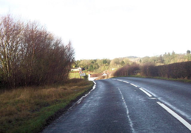
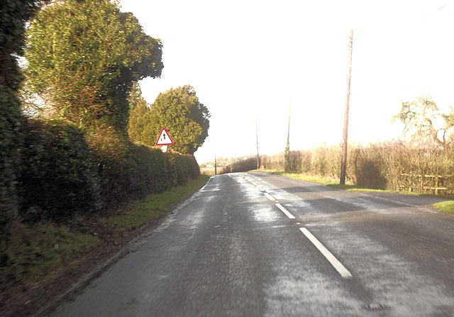
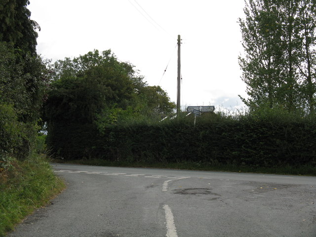
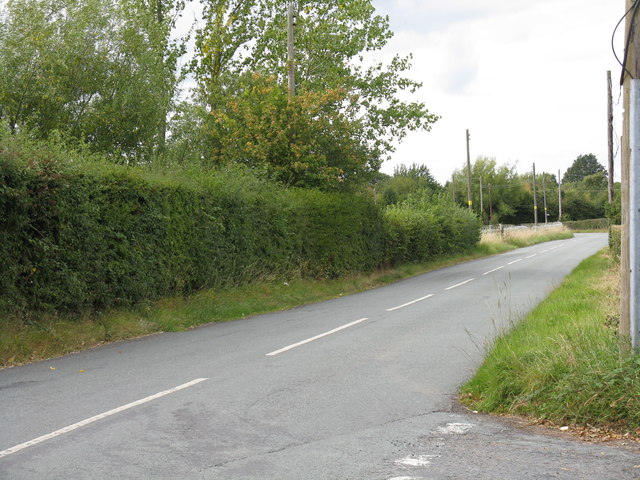
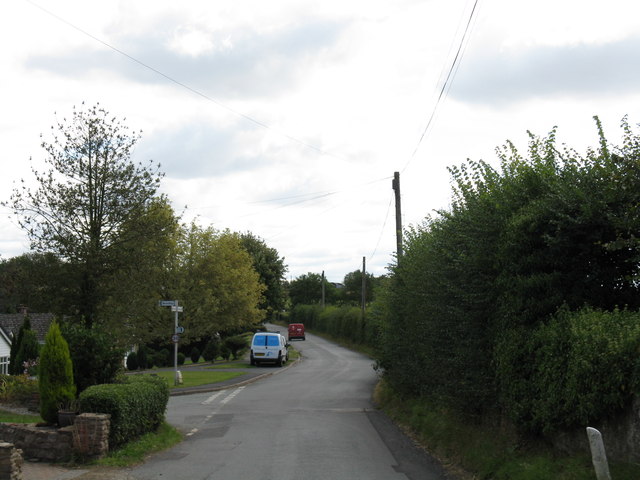
Greenway is a small village located in the county of Worcestershire, England. Situated on the eastern edge of the Malvern Hills, it offers residents and visitors stunning views of the surrounding countryside. The village is nestled in a picturesque valley, with lush green fields and rolling hills as far as the eye can see.

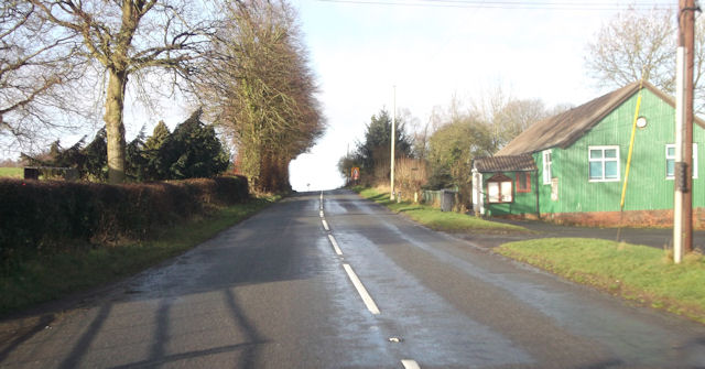
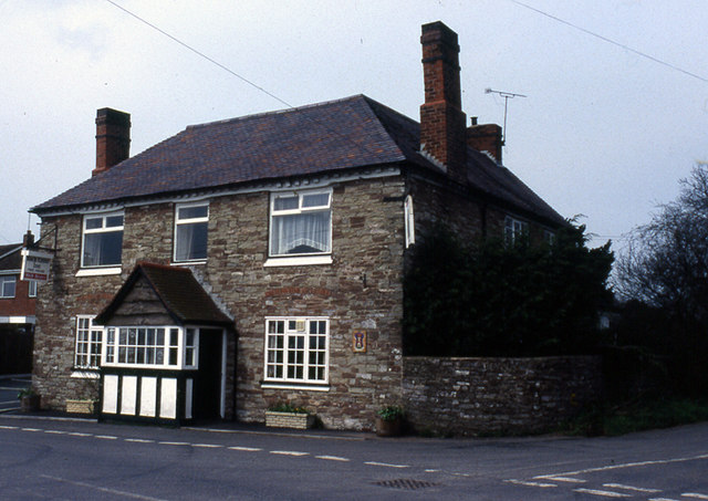
Greenway has a population of around 500 people, making it a close-knit and friendly community. The village is known for its peaceful atmosphere and tranquil surroundings, attracting those seeking a quieter and more rural lifestyle. The local architecture is predominantly traditional, with charming stone cottages and historic buildings adding to the village's character.

Despite its small size, Greenway has a few amenities to offer its residents. There is a village shop, providing everyday essentials, and a cozy pub where locals and visitors can enjoy a drink or a meal. The village also boasts a primary school, ensuring that families have convenient access to education.

One of the main attractions of Greenway is its proximity to the Malvern Hills, an Area of Outstanding Natural Beauty. This makes it a popular destination for outdoor enthusiasts, who can enjoy walking, hiking, and cycling in the stunning countryside. The nearby town of Malvern offers further amenities and services, including shops, restaurants, and cultural attractions.

Overall, Greenway is a peaceful and idyllic village, perfect for those seeking a quiet and rural lifestyle surrounded by natural beauty.

If you have any feedback on the listing, please let us know in the comments section below.

Greenway Images

Images are sourced within 2km of 52.335897/-2.381117 or Grid Reference SO7470. Thanks to Geograph Open Source API. All images are credited.

Running into Snead Common on B4202
Approaching the School From the entrance to The Snead on B4202
Approaching the School
From the entrance to The Snead on B4202
B4202 at Pensax Village Hall
Snead Common The turning on the left leads to further houses in this small settlement.  There are several behind the hedges on the left of the B4202
Snead Common
The turning on the left leads to further houses in this small settlement. There are several behind the hedges on the left of the B4202
Junction in Snead Common The road on the left leads to further houses and farms.  Opposite are two rights-of-way along tracks to other farms
Junction in Snead Common
The road on the left leads to further houses and farms. Opposite are two rights-of-way along tracks to other farms
Farm road on Worsley Farm Farm road with a gallops alongside on Worsley Farm near Abberley.
Farm road on Worsley Farm
Farm road with a gallops alongside on Worsley Farm near Abberley.
View to Abberley Hill View across farmland to Abberley Hill from a footpath near Hawkley Farm.  The weather had now deteriorated with cold sleety rain falling.
View to Abberley Hill
View across farmland to Abberley Hill from a footpath near Hawkley Farm. The weather had now deteriorated with cold sleety rain falling.
Worsley House A timbered farmhouse in the steep valleys of North Worcestershire, approximately 1 mile south of Worcestershire Way
Worsley House
A timbered farmhouse in the steep valleys of North Worcestershire, approximately 1 mile south of Worcestershire Way
Lane at Snead Common
Pensax Parish Hall Pensax Parish Hall is situated beside the B4202 between Abberley and Clows Top.
Pensax Parish Hall
Pensax Parish Hall is situated beside the B4202 between Abberley and Clows Top.
Hawkley Farm A farm in the rolling countryside at Snead Common east of the B4202 and north of Abberley Hill.
Hawkley Farm
A farm in the rolling countryside at Snead Common east of the B4202 and north of Abberley Hill.
Rolling Countryside Near Worsley House
B4202 At Snead Common
Heightington Road junction
Heightington Road, looking north
B4202 at Hollin Farms
Western entry to Rock
Rock village from near the church
Show me another place!

Greenway is located at Grid Ref: SO7470 (Lat: 52.335897, Lng: -2.381117)

Administrative County: Worcestershire

District: Wyre Forest

Police Authority: West Mercia

What 3 Words

///diverts.reduction.highlighted. Near Bewdley, Worcestershire

Nearby Locations

Greenway

Related Wikis

Rock, Worcestershire

Rock is a village and civil parish in the Wyre Forest District of Worcestershire, England, which lies south-west of Bewdley. It had a population of 2,366...

Rock moated site and medieval village

Rock moated site and medieval village is an archaeological site, including a deserted medieval village, in Worcestershire, England, near the village of...

Church of St Peter and St Paul, Rock

The Church of St Peter and St Paul is an Anglican church in the village of Rock, in Worcestershire, England. It is in the parish of Rock with Heightington...

Bliss Gate

Bliss Gate is a small village in Worcestershire, England. It had many attractive tourist landmarks such as the Bliss Gate Inn (now closed) and a village...

Clows Top

Clows Top is a village in north Worcestershire, England. There is a village shop/post office, a butcher's, a village hall (named the "Victory Hall") and...

Pensax

Pensax is a village and civil parish of northwest Worcestershire in England, incorporating the hamlet of Menithwood to the west of Pensax Common. According...

Heightington

Heightington is a small village in Worcestershire, England. It lies a little to the south-west of Bewdley and a little to the west of Stourport-on-Severn...

Fingerpost, Worcestershire

Fingerpost is a hamlet and road junction in north Worcestershire, England, approximately 3 miles (4.8 km) west of Bewdley. It is located at the junction...

Nearby Amenities

Located within 500m of 52.335897,-2.381117
Barrier: stile
Stile: stepover
Lat/Long: 52.3342335/-2.3857831
Location Transition: yes
Power: pole
Lat/Long: 52.3383644/-2.3864324
Fixme: contines NW
Lat/Long: 52.3383776/-2.3864023
Power: pole
Lat/Long: 52.3354849/-2.3871379
Power: pole
Lat/Long: 52.3359184/-2.3858625
Greenway
Location Transition: yes
Power: pole
Transformer: distribution
Voltage Primary: 11000
Lat/Long: 52.3358873/-2.3830529
Power: pole
Lat/Long: 52.3357295/-2.3826431
Power: pole
Lat/Long: 52.335278/-2.3814871
Greenway East
Power: pole
Transformer: distribution
Voltage Primary: 11000
Lat/Long: 52.335144/-2.3808722
Power: pole
Lat/Long: 52.3349474/-2.3800287
Power: pole
Lat/Long: 52.3349179/-2.3796196
Power: pole
Lat/Long: 52.3348376/-2.3784542
Fernhalls Farm
Power: pole
Transformer: distribution
Voltage Primary: 11000
Lat/Long: 52.3351088/-2.3771037
Whitehouse Farm
Power: pole
Transformer: distribution
Voltage Primary: 11000
Lat/Long: 52.3319168/-2.3795713
Power: pole
Lat/Long: 52.3321578/-2.3778319
Power: pole
Lat/Long: 52.3329076/-2.3767879
Power: pole
Lat/Long: 52.3336141/-2.3771902
Power: pole
Lat/Long: 52.3340091/-2.3773418
Power: pole
Lat/Long: 52.3347507/-2.3771895
Power: pole
Lat/Long: 52.3346581/-2.3758632
Power: pole
Lat/Long: 52.3346347/-2.3754904
Hazel Cottage
Power: pole
Transformer: distribution
Voltage Primary: 11000
Lat/Long: 52.3345317/-2.3749056
The data included in this document is from www.openstreetmap.org. The data is made available under ODbL.

Have you been to Greenway?

Leave your review of Greenway below (or comments, questions and feedback).