Allen Head

Landscape Feature in Wigtownshire

Scotland

Allen Head

Derelict Building at Cairngarroch Bay Derelict Building at Cairngarroch Bay.
Derelict Building at Cairngarroch Bay Credit: Colin Kinnear

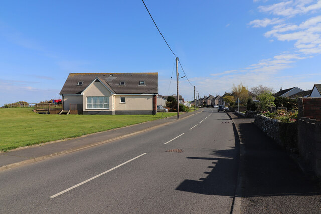
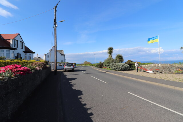
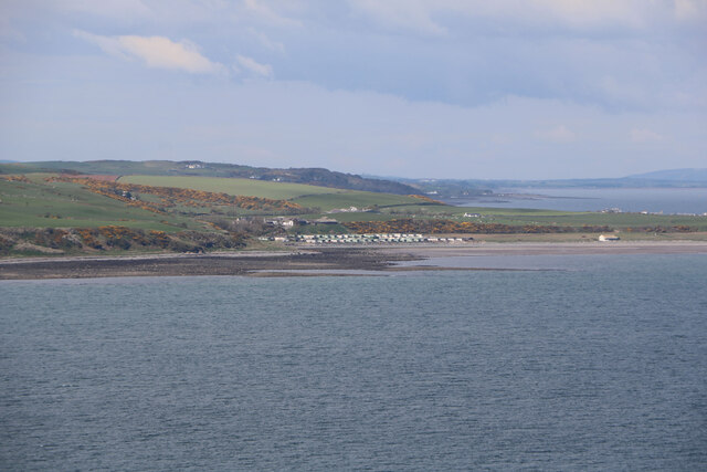
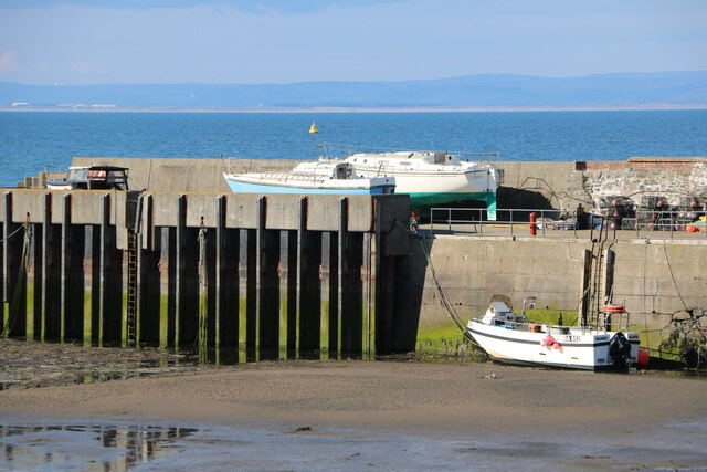
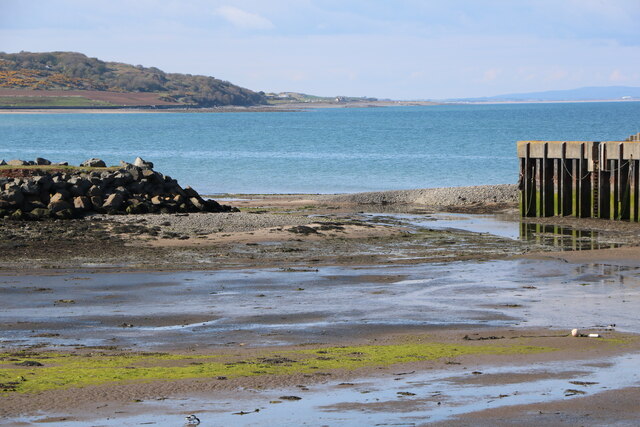
Allen Head is a striking landscape feature located in the region of Wigtownshire, Scotland. Situated on the southern coast of the country, it offers breathtaking views of the Irish Sea and is an integral part of the Galloway Hills. This prominent headland stands at an impressive height of approximately 80 meters (260 feet) above sea level, making it a notable landmark in the area.

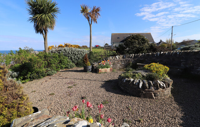
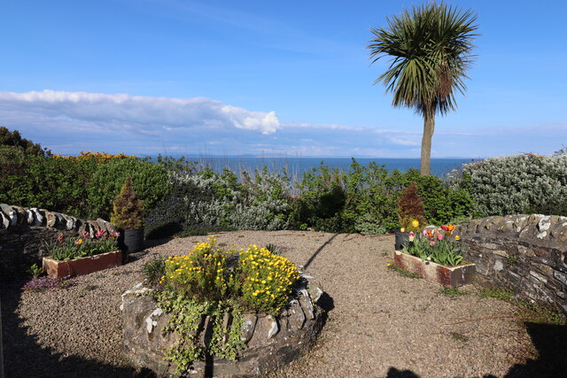
The rugged cliffs of Allen Head are composed mainly of sedimentary rocks, providing a diverse geological profile that attracts many geologists and nature enthusiasts. These cliffs are renowned for their dramatic appearance, with sheer faces and jagged edges carved by the relentless coastal erosion over thousands of years.

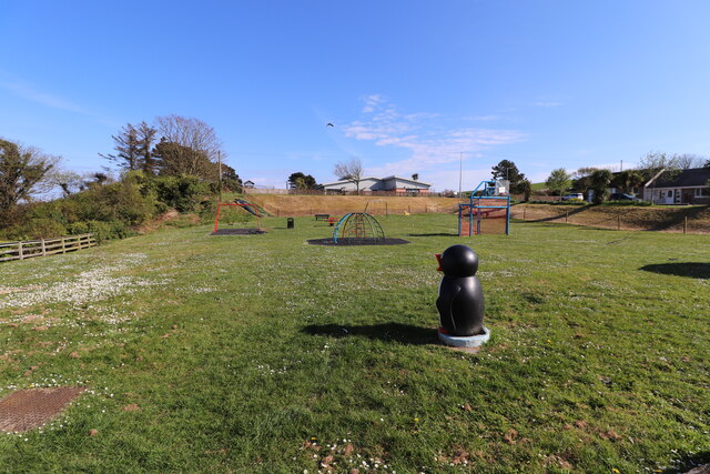
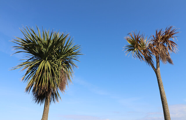
The headland is also home to a wide variety of flora and fauna, making it an important site for biodiversity. Lush grasslands, heather moors, and scrub vegetation cover the land, creating a rich habitat for numerous species of plants, insects, birds, and mammals. The presence of seabird colonies, including fulmars, guillemots, and razorbills, adds to the ecological significance of Allen Head.

Visitors to Allen Head can enjoy panoramic views of the surrounding landscape, with the Isle of Man visible on clear days. The headland offers several walking trails that allow visitors to explore the area and appreciate its natural beauty. Additionally, the nearby coastal town of Portpatrick provides easy access to Allen Head, attracting tourists and locals alike.

Overall, Allen Head in Wigtownshire is a captivating landscape feature that combines stunning coastal cliffs, diverse wildlife, and breathtaking vistas, providing an immersive experience for all who venture to this picturesque location.

If you have any feedback on the listing, please let us know in the comments section below.
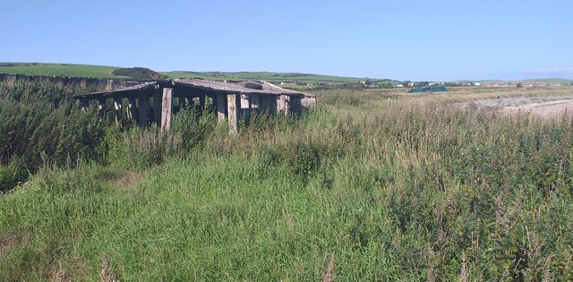
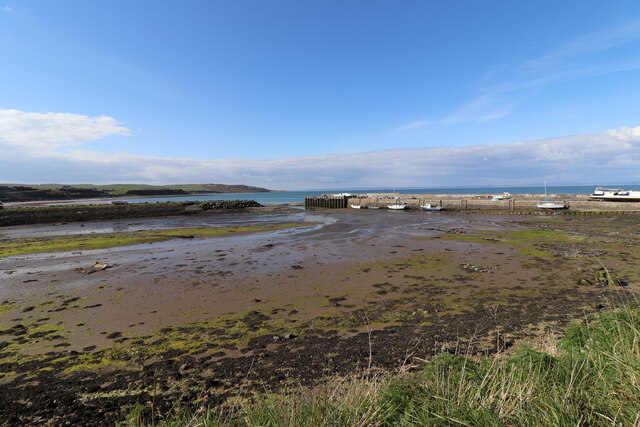
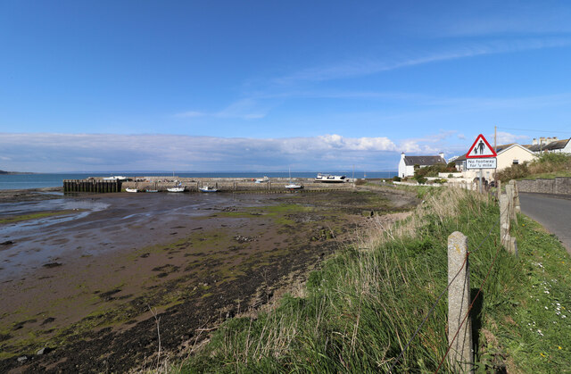
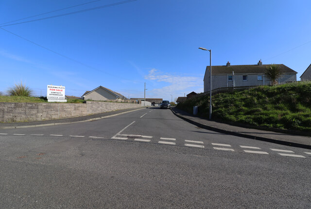
Allen Head Images

Images are sourced within 2km of 54.679144/-4.9001502 or Grid Reference NX1335. Thanks to Geograph Open Source API. All images are credited.

Derelict Building at Cairngarroch Bay Derelict Building at Cairngarroch Bay.
Derelict Building at Cairngarroch Bay
Derelict Building at Cairngarroch Bay.
Drummore Harbour Viewed from the junction of Harbour Road and Harbour Terrace.
Drummore Harbour
Viewed from the junction of Harbour Road and Harbour Terrace.
Drummore Harbour Viewed from the junction of Harbour Road and Harbour Terrace.
Drummore Harbour
Viewed from the junction of Harbour Road and Harbour Terrace.
Harbour Terrace, Drummore Viewed from Harbour Road.
Harbour Terrace, Drummore
Viewed from Harbour Road.
Kids Play Area, Drummore Viewed from Mill Street.
Kids Play Area, Drummore
Viewed from Mill Street.
Mariners Coffee Shop, Drummore On Mill Street, sign at the entrance says "Gone fishing".
Mariners Coffee Shop, Drummore
On Mill Street, sign at the entrance says "Gone fishing".
Mill Street, Drummore Leading to Drummore Harbour.
Mill Street, Drummore
Leading to Drummore Harbour.
Gateway Garden, Drummore On Stair Street as you enter the Village. Flying the flag for Ukraine.
Gateway Garden, Drummore
On Stair Street as you enter the Village. Flying the flag for Ukraine.
Busy Man at Drummore At the Gateway Garden on Stair Street as you enter the Village.
Busy Man at Drummore
At the Gateway Garden on Stair Street as you enter the Village.
Gateway Garden, Drummore On Stair Street as you enter the Village.
Gateway Garden, Drummore
On Stair Street as you enter the Village.
On the Mediterranean Nah, just the Gateway Garden on Stair Street as you enter Drummore.
On the Mediterranean
Nah, just the Gateway Garden on Stair Street as you enter Drummore.
Gateway Garden, Drummore On Stair Street as you enter the Village looking out to Sea.
Gateway Garden, Drummore
On Stair Street as you enter the Village looking out to Sea.
Stair Street, Drummore Leading into the Village and Harbour.
Stair Street, Drummore
Leading into the Village and Harbour.
Stair Street, Drummore Also the A716 heading for Stranraer. On the right flying the flag for Ukraine is the Gateway Garden.
Stair Street, Drummore
Also the A716 heading for Stranraer. On the right flying the flag for Ukraine is the Gateway Garden.
Maryport Caravan Park Viewed from the Mull of Galloway.
Maryport Caravan Park
Viewed from the Mull of Galloway.
Boat on the Quay, Drummore Harbour Viewed from the junction of Harbour Road and Harbour Terrace.
Boat on the Quay, Drummore Harbour
Viewed from the junction of Harbour Road and Harbour Terrace.
Boats on the Quay, Drummore Harbour Viewed from the junction of Harbour Road and Harbour Terrace.
Boats on the Quay, Drummore Harbour
Viewed from the junction of Harbour Road and Harbour Terrace.
Harbour Entrance, Drummore Viewed from the junction of Harbour Road and Harbour Terrace.
Harbour Entrance, Drummore
Viewed from the junction of Harbour Road and Harbour Terrace.
Show me another place!

Allen Head is located at Grid Ref: NX1335 (Lat: 54.679144, Lng: -4.9001502)

Unitary Authority: Dumfries and Galloway

Police Authority: Dumfries and Galloway

What 3 Words

///riskiest.fended.almost. Near Drummore, Dumfries & Galloway

Related Wikis

Drummore

Drummore (drum-ORE; (from Gaelic An Druim Mòr meaning "the great ridge") is the southernmost village in Scotland, located at the southern end of the Rhins...

Kirkmaiden (village)

Kirkmaiden (sometimes Maidenkirk; Scottish Gaelic: Cill M'Eudan) is a small settlement in Galloway, Scotland, located approximately 17 miles (27 km) south...

Kirkmaiden

Kirkmaiden is a parish in the Rhins of Galloway, the most southerly in Scotland; the present Church of Scotland parish has the same name as and is approximately...

Cairngaan

Cairngaan, Wigtownshire, is the southmost settlement in Scotland. The hamlet of Cairngaan lies just north of the Mull of Galloway (which contains Scotland...

Mull of Galloway

The Mull of Galloway (Scottish Gaelic: Maol nan Gall, pronounced [mɯːlˠ̪ nəŋ ˈkaulˠ̪]; grid reference NX158303) is the southernmost point of Scotland....

Port Logan

Port Logan, formerly Port Nessock, is a small village in the parish of Kirkmaiden in the Rhins of Galloway in Wigtownshire. The Gaelic name is Port Neasaig...

Logan Botanic Garden

Logan Botanic Garden is a botanical garden near Port Logan on the Rhins of Galloway, at the south-western tip of Scotland. The Botanic Garden was established...

Nearby Amenities

Located within 500m of 54.679144,-4.9001502
Damnaglaur
Place: hamlet
Lat/Long: 54.6804941/-4.9066952
Drummore Glen
Place: locality
Lat/Long: 54.6807667/-4.8947582
Power: pole
Lat/Long: 54.6828919/-4.9033578
Power: pole
Lat/Long: 54.6825072/-4.9039962
Power: pole
Lat/Long: 54.6819475/-4.9049313
Power: pole
Lat/Long: 54.6813934/-4.9058413
Power: pole
Lat/Long: 54.6808954/-4.9066736
Power: pole
Lat/Long: 54.6803682/-4.9073546
Power: pole
Lat/Long: 54.6831959/-4.9020055
Power: pole
Lat/Long: 54.6831488/-4.8971939
Power: pole
Lat/Long: 54.6826048/-4.8962141
Power: pole
Lat/Long: 54.6819991/-4.895116
Power: pole
Lat/Long: 54.6815729/-4.8943554
Power: pole
Lat/Long: 54.6810793/-4.8934649
Power: pole
Lat/Long: 54.6791029/-4.8927955
The data included in this document is from www.openstreetmap.org. The data is made available under ODbL.

Have you been to Allen Head?

Leave your review of Allen Head below (or comments, questions and feedback).