Àird Mholach

Landscape Feature in Ross-shire

Scotland

Àird Mholach

Bridge on the Hebridean Way Geocaching is a type of global treasure hunt of people looking for caches, or hidden stashes of objects. Geocaching may also be described as a series of hide-and-seek games, where hiders provide online clues for seekers. Seekers use global positioning system (GPS) devices to find hidden caches
Bridge on the Hebridean Way Credit: Ralph Greig

Àird Mholach is a prominent landscape feature located in Ross-shire, Scotland. Situated on the rugged west coast of the country, it is a striking geographical formation that has captivated visitors for generations.

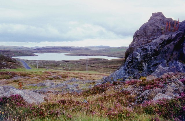
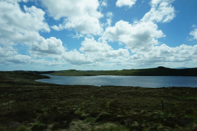
Rising majestically from the surrounding terrain, Àird Mholach is a large rocky promontory that extends into the North Atlantic Ocean. Its name translates to "Bare Promontory" in Gaelic, and it is an apt description of the exposed and barren nature of the feature. The promontory is made up of ancient Lewisian gneiss, which gives it its characteristic rugged appearance.

The landscape around Àird Mholach is characterized by steep cliffs and rocky outcrops. These cliffs provide stunning panoramic views of the surrounding coastline and the vast expanse of the ocean. The area is known for its wild and untamed beauty, with crashing waves and dramatic sea stacks adding to the allure.

The wildlife in the area is abundant, with seabirds such as gannets, kittiwakes, and razorbills nesting on the cliffs. It is also a popular spot for birdwatching, as migratory birds often make a stopover here during their journeys.

Àird Mholach is a popular destination for outdoor enthusiasts, offering opportunities for hiking, photography, and nature exploration. The rocky terrain can be challenging to navigate, but the rewards are well worth it for those who venture to explore this stunning landscape feature.

In conclusion, Àird Mholach is an awe-inspiring landscape feature in Ross-shire, Scotland. With its rugged cliffs, rocky outcrops, and breathtaking views, it offers a captivating experience for all who visit.

If you have any feedback on the listing, please let us know in the comments section below.
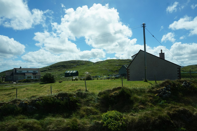
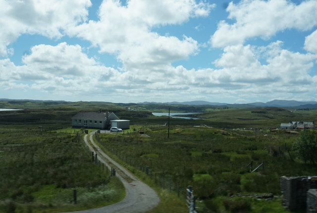
Àird Mholach Images

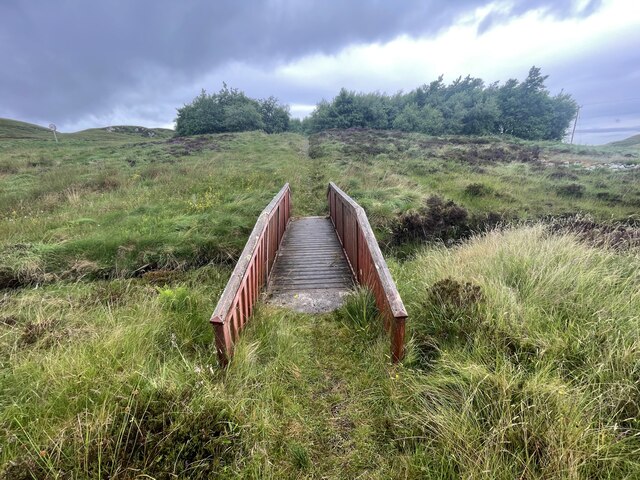
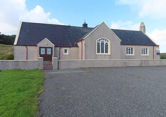
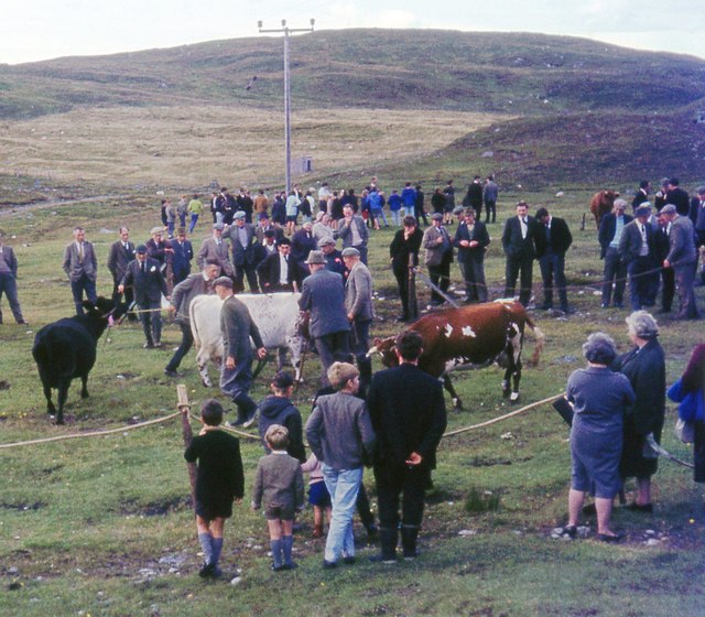
Images are sourced within 2km of 58.100803/-6.5521288 or Grid Reference NB3121. Thanks to Geograph Open Source API. All images are credited.

Bridge on the Hebridean Way Geocaching is a type of global treasure hunt of people looking for caches, or hidden stashes of objects. Geocaching may also be described as a series of hide-and-seek games, where hiders provide online clues for seekers. Seekers use global positioning system (GPS) devices to find hidden caches
Bridge on the Hebridean Way
Geocaching is a type of global treasure hunt of people looking for caches, or hidden stashes of objects. Geocaching may also be described as a series of hide-and-seek games, where hiders provide online clues for seekers. Seekers use global positioning system (GPS) devices to find hidden caches
Kinloch Parish Kirk Belonging to the Church of Scotland.
Kinloch Parish Kirk
Belonging to the Church of Scotland.
Balallan/Laxay Agricultural Show
A859 skirting Loch Bhaltois
Houses near Mircill Glas, Baile Ailein
Loch Bhaltois, taken from the A859
Laxay / Lacasaigh from the A859
Baile Ailean (Balallan) and Loch na Deasport The loch marks the eastern extremity of the crofting township of Baile Ailean. On older maps it is named Loch nan Deaspoirt. In the background are some of the hills north of Loch Shiphoirt (Loch Seaforth).
Baile Ailean (Balallan) and Loch na Deasport
The loch marks the eastern extremity of the crofting township of Baile Ailean. On older maps it is named Loch nan Deaspoirt. In the background are some of the hills north of Loch Shiphoirt (Loch Seaforth).
Lousewort (Pedicularis sylvatica) A common plant of wet, boggy places, Lousewort thrives in the acid peat of Leòdhas.
Lousewort (Pedicularis sylvatica)
A common plant of wet, boggy places, Lousewort thrives in the acid peat of Leòdhas.
Cnoc a' Ghille Ruaidh Bhig The name applies to the rocky outcrop and means 'rock of the small red boy'. The puddles on the road are evidence of recent heavy showers, and there were many more to come.
Cnoc a' Ghille Ruaidh Bhig
The name applies to the rocky outcrop and means 'rock of the small red boy'. The puddles on the road are evidence of recent heavy showers, and there were many more to come.
Wrecked Car This one hasn't been here for long enough to become rusted through, so in spite of the good work of the local authority in removing hundreds of eyesores all over the islands, it still seems to be the thing to abandon old cars and then use them for target practice. The slight elevation on the left is Cnoc na Buaile, meaning 'rock of the cattle fold', and the matching one to the left is Druim Bioraig, whose meaning I don't know.
Wrecked Car
This one hasn't been here for long enough to become rusted through, so in spite of the good work of the local authority in removing hundreds of eyesores all over the islands, it still seems to be the thing to abandon old cars and then use them for target practice. The slight elevation on the left is Cnoc na Buaile, meaning 'rock of the cattle fold', and the matching one to the left is Druim Bioraig, whose meaning I don't know.
A Bend in the Track Marked by another puddle, the track curves round the foot of Cnoc a' Ghille Ruaidh Bhig, just above an expanse of peat bog. The distant hill is Ròineabhal, just visible between Druim Biorag to its left and Cnoc Dubh Druim Biorag to its right.
A Bend in the Track
Marked by another puddle, the track curves round the foot of Cnoc a' Ghille Ruaidh Bhig, just above an expanse of peat bog. The distant hill is Ròineabhal, just visible between Druim Biorag to its left and Cnoc Dubh Druim Biorag to its right.
Track across the Moor All over the Hebrides there are rough roads and tracks which give access to areas where peat is cut. The peat banks show up as dark lines across the bog, where bare peat has been exposed by cutting. The low ridge is unnamed on the maps, but the outcrop of rock to its right is Creag Latharbaidh, round which a meander of the Abhainn Lacasaidh (Laxay River) 'salmon river' flows. The very distant highest point, crowned with masts, is Èitseal (223 metres) above Acha Mòr (Achmore) in <a href="https://www.geograph.org.uk/gridref/NB3030">NB3030</a>.
Track across the Moor
All over the Hebrides there are rough roads and tracks which give access to areas where peat is cut. The peat banks show up as dark lines across the bog, where bare peat has been exposed by cutting. The low ridge is unnamed on the maps, but the outcrop of rock to its right is Creag Latharbaidh, round which a meander of the Abhainn Lacasaidh (Laxay River) 'salmon river' flows. The very distant highest point, crowned with masts, is Èitseal (223 metres) above Acha Mòr (Achmore) in NB3030.
Looking towards Ròineabhal Ròineabhal (269 metres) appears in the gap between Cnoc na Buaile on the left and Druim Biorag on the right. In the bog in the foreground are the faces of peat banks laid bare when peat was last cut here, and not yet overgrown again. It would be interesting to know why the top of Druim Biorag is so green by comparison with the surrounding brown bog. It certainly seems to be the preferred grazing place for the sheep!
Looking towards Ròineabhal
Ròineabhal (269 metres) appears in the gap between Cnoc na Buaile on the left and Druim Biorag on the right. In the bog in the foreground are the faces of peat banks laid bare when peat was last cut here, and not yet overgrown again. It would be interesting to know why the top of Druim Biorag is so green by comparison with the surrounding brown bog. It certainly seems to be the preferred grazing place for the sheep!
Peat Bog near Baile Ailean In the bog in the foreground are the faces of peat banks laid bare when peat was last cut here, and not yet overgrown again.Notre how green the top of Druim Biorag by comparison with the surrounding brown bog. The grass there is obviously attractive to the sheep. The distant mountain is Ròineabhal, its appearance beying its modest 269 metres above sea level.
Peat Bog near Baile Ailean
In the bog in the foreground are the faces of peat banks laid bare when peat was last cut here, and not yet overgrown again.Notre how green the top of Druim Biorag by comparison with the surrounding brown bog. The grass there is obviously attractive to the sheep. The distant mountain is Ròineabhal, its appearance beying its modest 269 metres above sea level.
Baile Ailein (Balallan) A foreshortened view of Baile Ailein from the top of Cnoc a' Ghille Ruaidh Bhig seems to crowd the village at the foot of the hills. I can't quite make up my mind whether the most prominent hill is Dùn Chonaill in <a href="https://www.geograph.org.uk/gridref/NB2616">NB2616</a> or Cadha Cleit in <a href="https://www.geograph.org.uk/gridref/NB2615">NB2615</a>, but it's probably the latter.
Baile Ailein (Balallan)
A foreshortened view of Baile Ailein from the top of Cnoc a' Ghille Ruaidh Bhig seems to crowd the village at the foot of the hills. I can't quite make up my mind whether the most prominent hill is Dùn Chonaill in NB2616 or Cadha Cleit in NB2615, but it's probably the latter.
Abhainn Lacasaidh (Laxay River) The view of the river from the top of Cnoa a' Ghille Ruaidh Bhig. Its name means 'salmon river' and it drains Loch nam Faoileag 'loch of the gulls' into the sea-loch Loch Eireasort via Loch Bhaltois (not to be confused with the other Bhaltos on the west side of the island). The low green hill on the far bank is Druim nan Iadhlann, and the higher brown ridge is Beinn Ceadraiseal.
Abhainn Lacasaidh (Laxay River)
The view of the river from the top of Cnoa a' Ghille Ruaidh Bhig. Its name means 'salmon river' and it drains Loch nam Faoileag 'loch of the gulls' into the sea-loch Loch Eireasort via Loch Bhaltois (not to be confused with the other Bhaltos on the west side of the island). The low green hill on the far bank is Druim nan Iadhlann, and the higher brown ridge is Beinn Ceadraiseal.
Creag Latharbaidh The prominent rocky feature with the bright green grass on top is Creag Latharbaidh. The Abhainn Lacasidh (Laxay River, flows round the foot of it, between the peat bogs and the crag. The masts are on the summit of Èitseal (223 metres) above Acha Mòr (Achmore) in <a href="https://www.geograph.org.uk/gridref/NB3030">NB3030</a>.
Creag Latharbaidh
The prominent rocky feature with the bright green grass on top is Creag Latharbaidh. The Abhainn Lacasidh (Laxay River, flows round the foot of it, between the peat bogs and the crag. The masts are on the summit of Èitseal (223 metres) above Acha Mòr (Achmore) in NB3030.
Show me another place!

Àird Mholach is located at Grid Ref: NB3121 (Lat: 58.100803, Lng: -6.5521288)

Unitary Authority: Na h-Eileanan an Iar

Police Authority: Highlands and Islands

What 3 Words

///kilowatt.mows.emulating. Near Leurbost, Na h-Eileanan Siar

Related Wikis

Loch Erisort

Loch Erisort (Scottish Gaelic: Èireasort) is an 8-mile-long narrow sea inlet on the east coast of the Isle of Lewis in the Outer Hebrides off the west...

Balallan

Balallan (Scottish Gaelic: Baile Ailein, Bail' Ailein), meaning "Allan's Town", is a crofting township on the Isle of Lewis, in the Outer Hebrides, Scotland...

Cabharstadh

Cabharstadh or Caversta (Scottish Gaelic: Cabharstaigh) is a village on the Isle of Lewis in the Outer Hebrides, Scotland. Caversta is situated in the...

Eilean Chaluim Chille

Eilean Chaluim Chille (Gaelic: island of Saint Columba, Calum Cille) is an unpopulated island in the Outer Hebrides. It lies off the east coast of Lewis...

Nearby Amenities

Located within 500m of 58.100803,-6.5521288
Barrier: cattle_grid
Source: survey
Lat/Long: 58.1038435/-6.5563604
Barrier: cattle_grid
Lat/Long: 58.1044611/-6.5538633
Power: pole
Lat/Long: 58.103478/-6.5588204
Power: pole
Lat/Long: 58.1039826/-6.5572661
Power: pole
Lat/Long: 58.1045112/-6.5555227
Power: pole
Lat/Long: 58.1049066/-6.5542701
Power: pole
Lat/Long: 58.1039486/-6.5578696
Power: pole
Lat/Long: 58.1042929/-6.5567699
Power: pole
Lat/Long: 58.1046813/-6.5555334
Power: pole
Lat/Long: 58.1050682/-6.5542781
Power: pole
Lat/Long: 58.0971465/-6.5473574
Power: pole
Lat/Long: 58.0974992/-6.5465794
Power: pole
Lat/Long: 58.0979344/-6.5456748
Barrier: cattle_grid
Lat/Long: 58.1050673/-6.5517672
Power: pole
Lat/Long: 58.105051/-6.5531022
The data included in this document is from www.openstreetmap.org. The data is made available under ODbL.

Have you been to Àird Mholach?

Leave your review of Àird Mholach below (or comments, questions and feedback).