Sròn Dubh
Landscape Feature in Argyllshire
Scotland
Sròn Dubh
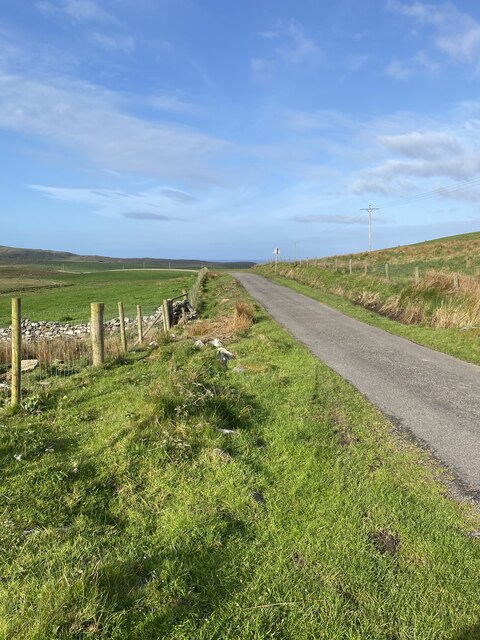
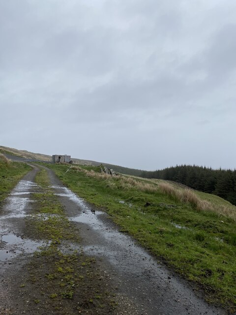
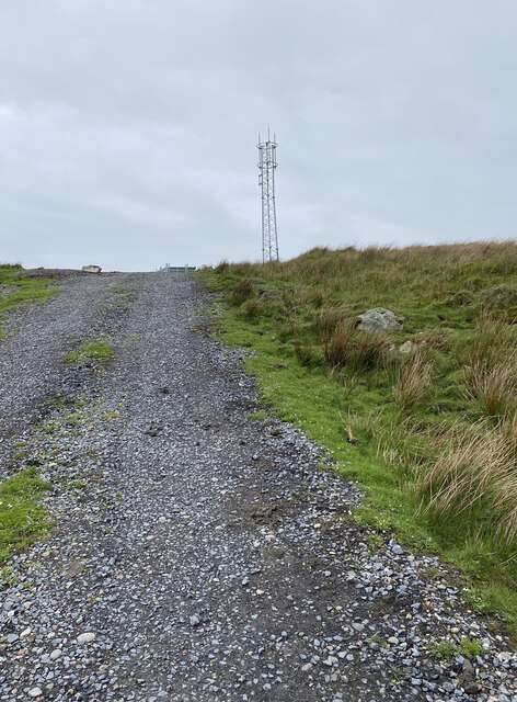
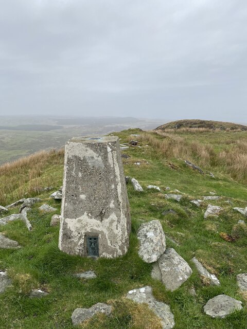
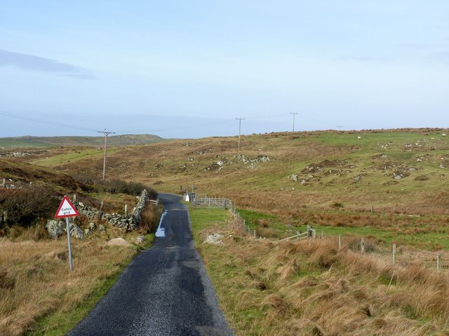
Sròn Dubh is a prominent landscape feature located in Argyllshire, Scotland. It is situated in the western part of the county, near the village of Tarbert, and is a notable landmark in the region. Sròn Dubh, also known as Black Nose, is a rugged promontory that juts out into the sea, offering breathtaking views of the surrounding coastline.
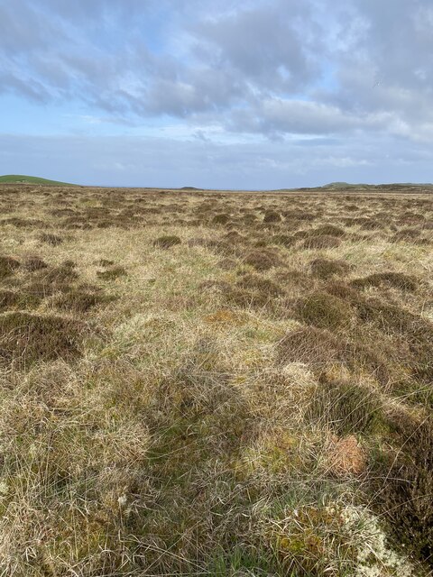
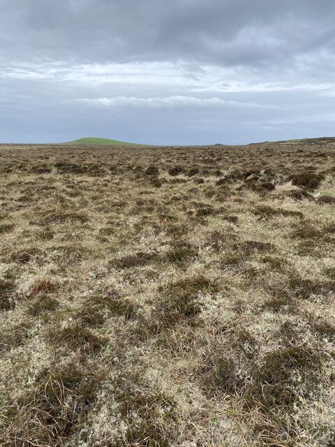
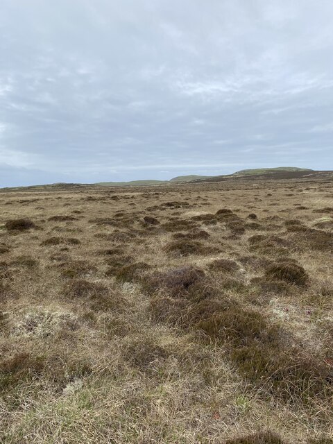
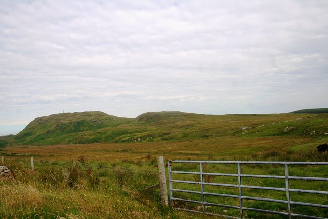
The landscape of Sròn Dubh is characterized by its dramatic cliffs, which rise steeply from the water below. These cliffs are composed of ancient rock formations, adding to the area's geological significance. The ruggedness of the terrain is further emphasized by the presence of numerous sea caves and arches that have been carved out by the relentless force of the waves over time.
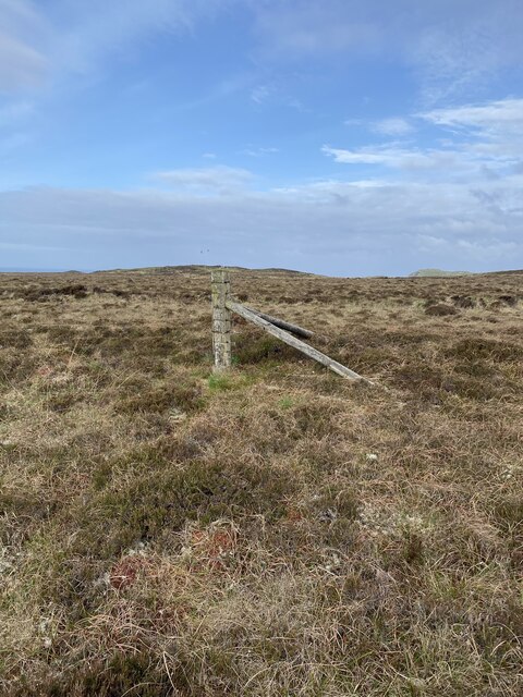
The vegetation on Sròn Dubh is diverse and rich, with hardy plants clinging to the rocky slopes. Grasses, heather, and wildflowers can be found dotting the landscape, adding splashes of color to the otherwise rugged terrain. The area is also home to a variety of seabirds, including puffins, guillemots, and gannets, which nest and breed on the cliffs.
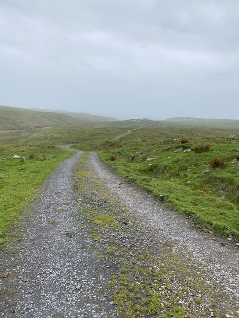
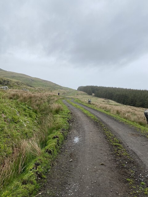
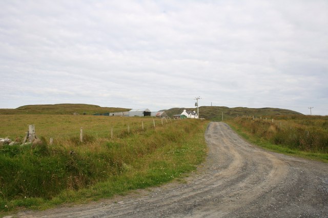
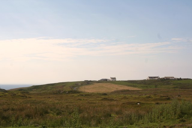
Due to its picturesque beauty and natural features, Sròn Dubh is a popular destination for outdoor enthusiasts and nature lovers. Hiking trails wind their way along the cliffs, providing opportunities for visitors to explore the area and enjoy the stunning vistas. Additionally, the surrounding waters offer excellent fishing and boating opportunities.
Overall, Sròn Dubh is a captivating landscape feature in Argyllshire, renowned for its dramatic cliffs, diverse vegetation, and abundant wildlife. It is a place of natural beauty and tranquility, attracting visitors from near and far.
If you have any feedback on the listing, please let us know in the comments section below.
Sròn Dubh Images
Images are sourced within 2km of 55.731001/-6.4487969 or Grid Reference NR2057. Thanks to Geograph Open Source API. All images are credited.
Sròn Dubh is located at Grid Ref: NR2057 (Lat: 55.731001, Lng: -6.4487969)
Unitary Authority: Argyll and Bute
Police Authority: Argyll and West Dunbartonshire
What 3 Words
///clinking.kindest.scarf. Near Port Charlotte, Argyll & Bute
Nearby Locations
Related Wikis

Rinns of Islay
The Rinns of Islay (Scottish Gaelic: Na Roinn Ìleach; alternative English spelling Rhinns of Islay) is an area on the west of the island of Islay in the...

Nerabus
Nerabus (otherwise Nereabolls) is a hamlet in the west of the isle of Islay in Scotland. The vicinity is noted for its scenic qualities and diverse birdlife...

RAF Kilchiaran
RAF Kilchiaran was a Royal Air Force radar station situated on the Isle of Islay in Scotland. It was originally active from 1940-1945. In 1954 the base...

Easter Ellister
Easter Ellister (Aolastradh) is a settlement on the Rinns of Islay on Islay in the Inner Hebrides of Scotland. It lies just off the A847 road between Portnahaven...
Have you been to Sròn Dubh?
Leave your review of Sròn Dubh below (or comments, questions and feedback).