Cnoc na Buaile
Hill, Mountain in Argyllshire
Scotland
Cnoc na Buaile
Cnoc na Buaile is a prominent hill located in Argyllshire, Scotland. It is part of the stunning landscape of the Scottish Highlands, known for its rugged beauty and breathtaking views. With an elevation of 531 meters (1,742 feet), Cnoc na Buaile stands tall, offering visitors a memorable experience.
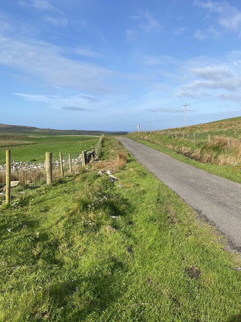
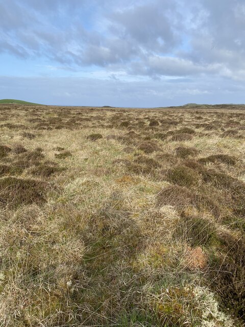
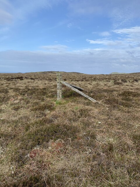
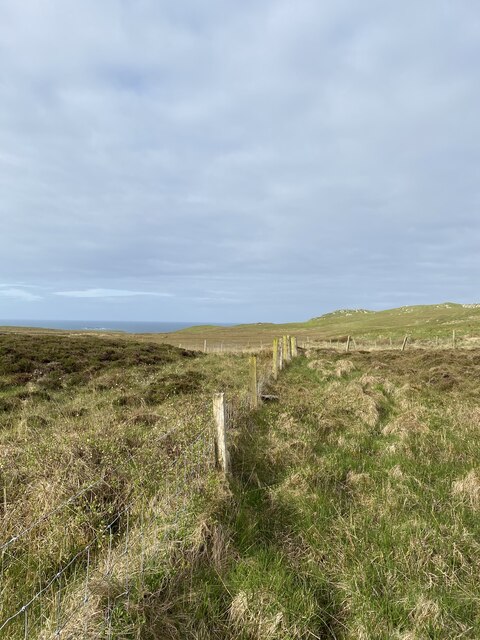
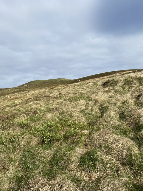
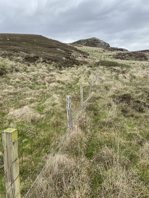
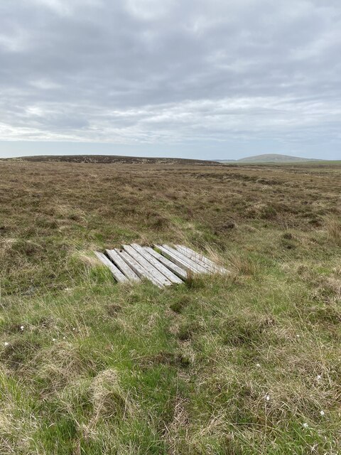
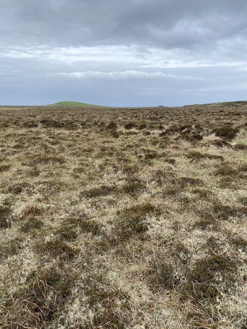
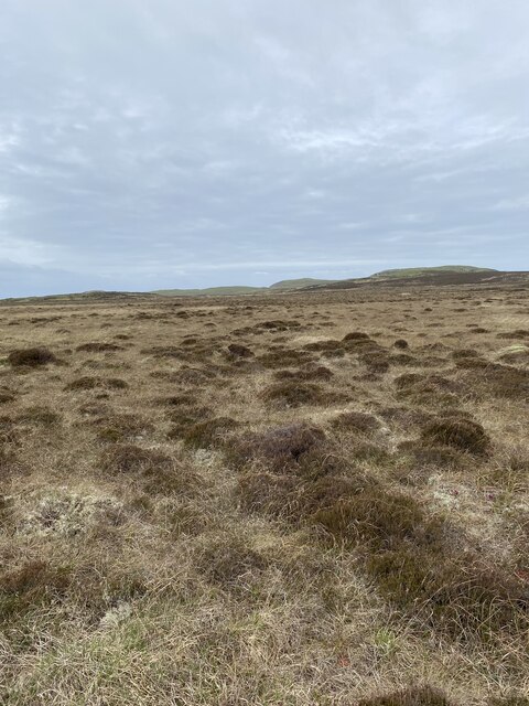
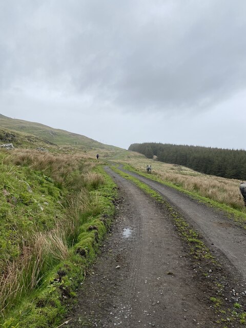
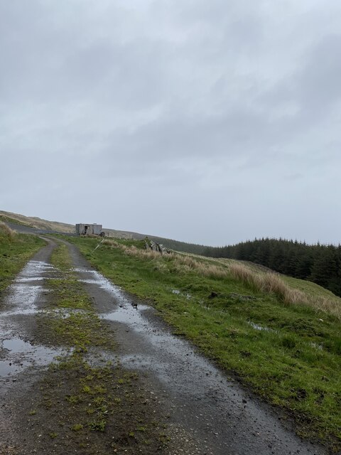
Situated in a remote area, Cnoc na Buaile is surrounded by vast moorland and rolling hills, providing a peaceful and untouched atmosphere. Its location makes it an ideal destination for hikers and nature enthusiasts looking to immerse themselves in the tranquility of the Scottish countryside.
The hill is covered in heather, giving it a vibrant purple hue during the summer months, contrasting beautifully with the green landscape. As visitors ascend the hill, they can enjoy panoramic views of the surrounding mountains, lochs, and glens. On clear days, the vista stretches as far as the eye can see, offering glimpses of neighboring peaks and the shimmering waters of Loch Lomond.
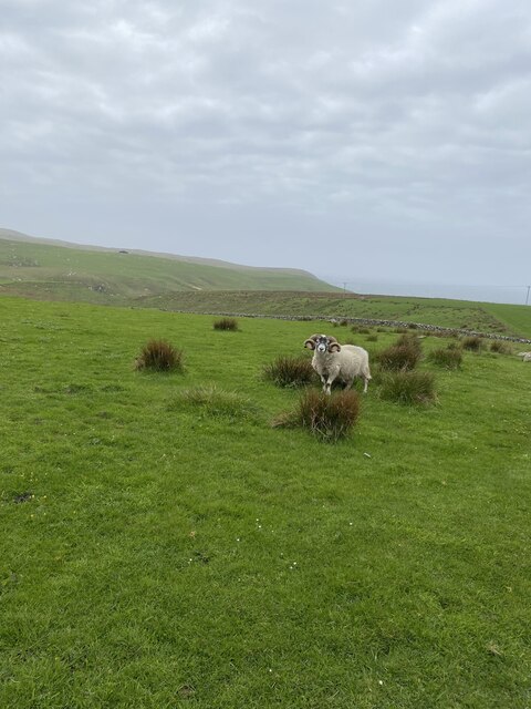
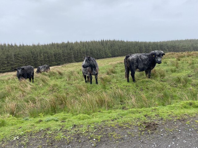
Cnoc na Buaile is also home to a variety of wildlife, including red deer, golden eagles, and ptarmigans. Birdwatchers will delight in the opportunity to spot rare species in their natural habitat.
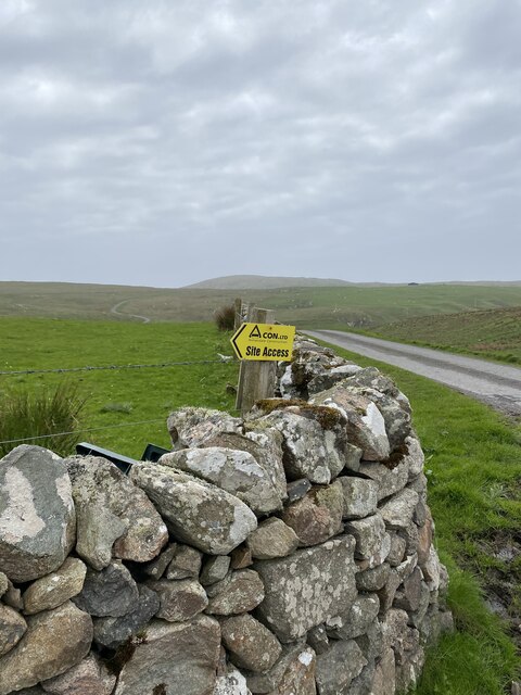
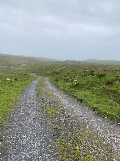
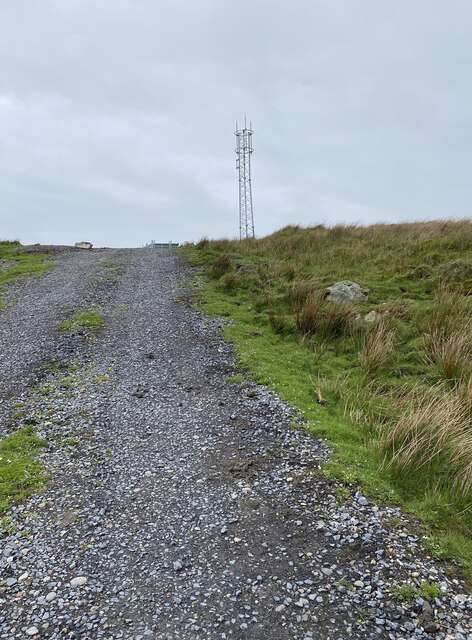
Access to Cnoc na Buaile is relatively easy, with well-marked trails and paths leading to the summit. However, it is important for visitors to be prepared for changing weather conditions and to bring appropriate clothing and provisions.
For those seeking a true Highland adventure, Cnoc na Buaile in Argyllshire offers a picturesque and unforgettable experience in the heart of Scotland's natural beauty.
If you have any feedback on the listing, please let us know in the comments section below.
Cnoc na Buaile Images
Images are sourced within 2km of 55.731459/-6.4614423 or Grid Reference NR2057. Thanks to Geograph Open Source API. All images are credited.
Cnoc na Buaile is located at Grid Ref: NR2057 (Lat: 55.731459, Lng: -6.4614423)
Unitary Authority: Argyll and Bute
Police Authority: Argyll and West Dunbartonshire
What 3 Words
///elbowing.random.diplomats. Near Port Charlotte, Argyll & Bute
Nearby Locations
Related Wikis

Rinns of Islay
The Rinns of Islay (Scottish Gaelic: Na Roinn Ìleach; alternative English spelling Rhinns of Islay) is an area on the west of the island of Islay in the...

Nerabus
Nerabus (otherwise Nereabolls) is a hamlet in the west of the isle of Islay in Scotland. The vicinity is noted for its scenic qualities and diverse birdlife...

RAF Kilchiaran
RAF Kilchiaran was a Royal Air Force radar station situated on the Isle of Islay in Scotland. It was originally active from 1940-1945. In 1954 the base...

Easter Ellister
Easter Ellister (Aolastradh) is a settlement on the Rinns of Islay on Islay in the Inner Hebrides of Scotland. It lies just off the A847 road between Portnahaven...
Nearby Amenities
Located within 500m of 55.731459,-6.4614423Have you been to Cnoc na Buaile?
Leave your review of Cnoc na Buaile below (or comments, questions and feedback).