Alder Pond
Lake, Pool, Pond, Freshwater Marsh in Norfolk Broadland
England
Alder Pond
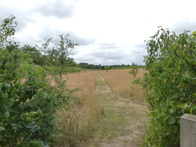
Alder Pond, located in Norfolk, is a picturesque freshwater pond encompassing an area of approximately 10 acres. Nestled amidst lush greenery and surrounded by tall alder trees, the pond exudes a tranquil ambiance that attracts both locals and visitors alike. It is classified as a shallow lake, pool, pond, and freshwater marsh due to its unique characteristics.
The water in Alder Pond is predominantly sourced from natural springs and rainfall, resulting in crystal-clear and pristine water conditions. The pond's depth varies throughout its expanse, with some areas reaching depths of up to 10 feet while others remain shallow, allowing for the growth of aquatic vegetation such as lilies and reeds. These plants provide a habitat for various species of fish, amphibians, and waterfowl.
Alder Pond is a haven for nature enthusiasts and birdwatchers as it attracts a wide array of bird species. Visitors can often spot majestic herons, graceful swans, and vibrant kingfishers, among many others. The surrounding alder trees provide shade and shelter for these avian residents, making the pond a popular breeding ground and nesting site.
The pond's serenity and natural beauty make it an ideal spot for leisurely activities such as picnicking, fishing, and kayaking. Anglers can try their luck at catching species like perch, roach, and pike that inhabit the pond's waters. Additionally, the calm and peaceful environment of Alder Pond offers opportunities for meditation, photography, and wildlife observation.
Alder Pond's idyllic setting, diverse wildlife, and recreational possibilities make it a cherished natural gem within Norfolk. Visitors can immerse themselves in the tranquility of this freshwater haven and appreciate the wonders of nature it holds.
If you have any feedback on the listing, please let us know in the comments section below.
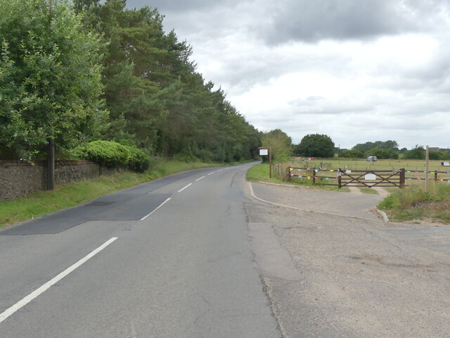
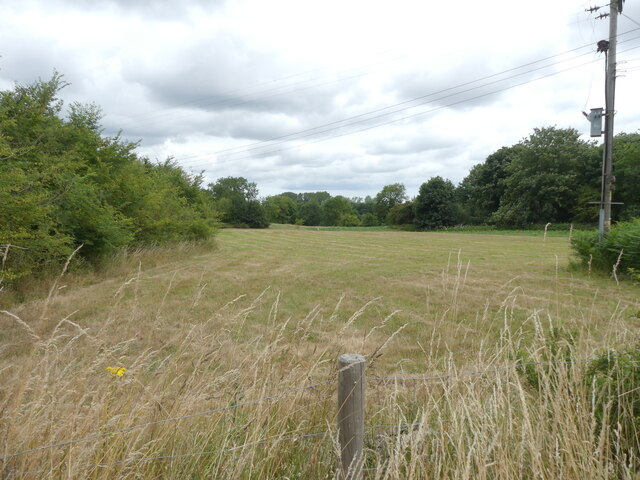
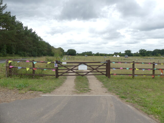
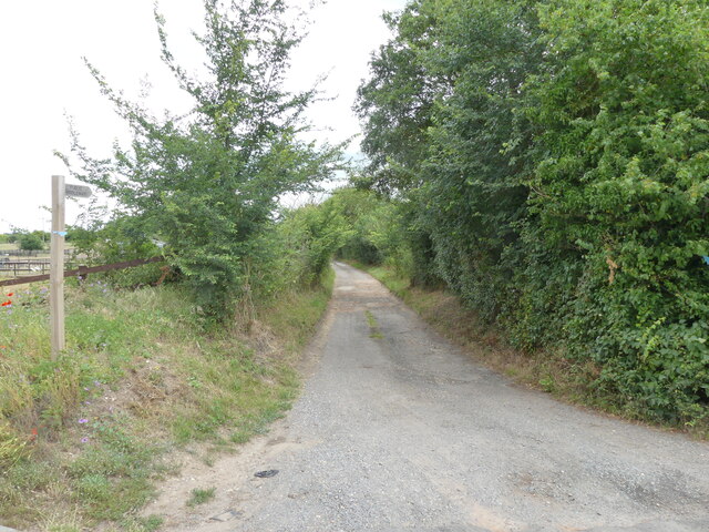
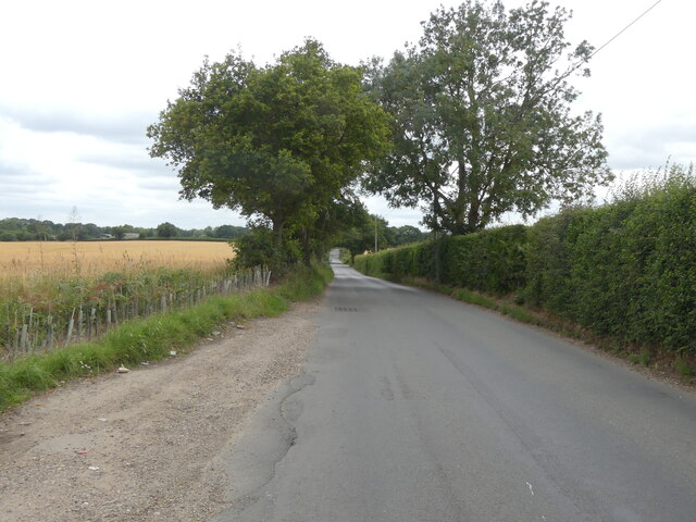
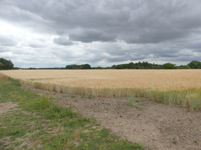
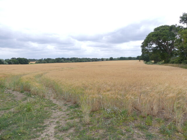
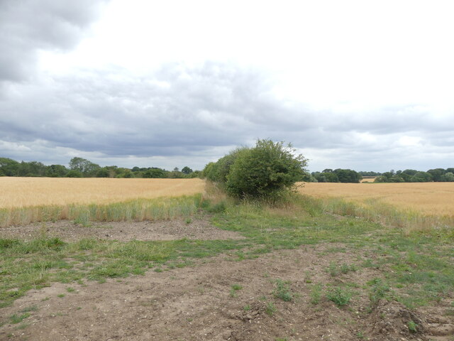
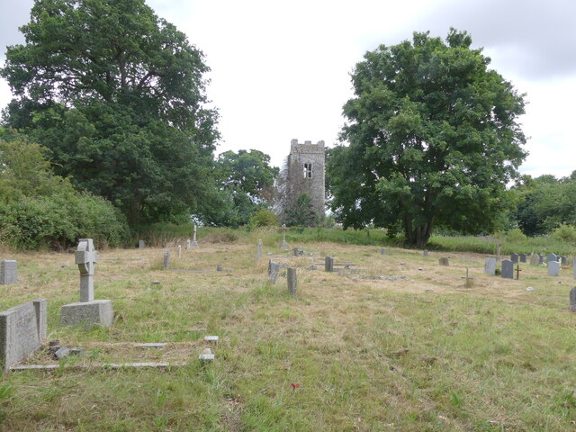
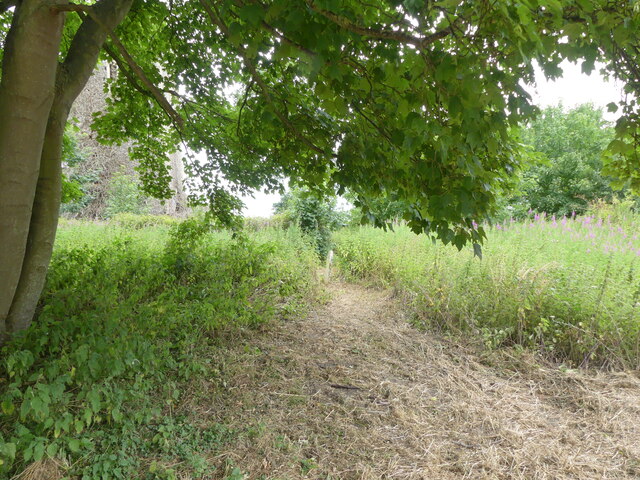
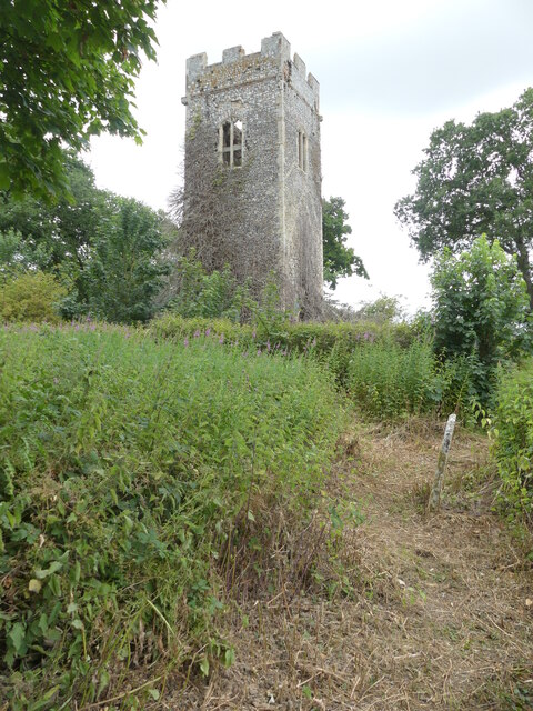
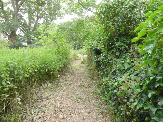
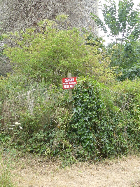
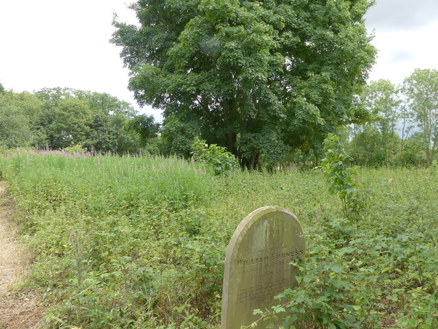
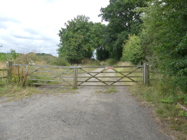
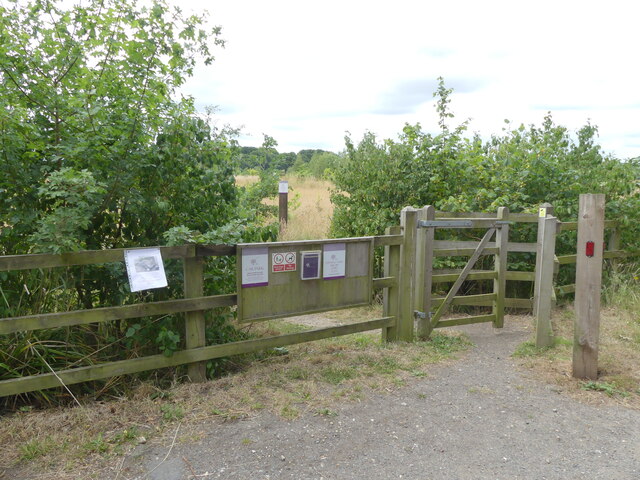
Alder Pond Images
Images are sourced within 2km of 52.727595/1.3176804 or Grid Reference TG2419. Thanks to Geograph Open Source API. All images are credited.

Alder Pond is located at Grid Ref: TG2419 (Lat: 52.727595, Lng: 1.3176804)
Administrative County: Norfolk
District: Broadland
Police Authority: Norfolk
What 3 Words
///tonsils.poet.workloads. Near Buxton, Norfolk
Nearby Locations
Related Wikis

Hainford
Hainford (originally Haynford) is a village and civil parish in the English county of Norfolk. It covers an area of 6.94 km2 (2.68 sq mi) and had a population...

Horstead Hall
Horstead Hall was a country house in Norfolk that was demolished in the 1950s. The village of Horstead in the county of Norfolk is not short of country...

Horstead with Stanninghall
Horstead with Stanninghall is a civil parish in the English county of Norfolk which is also known as 'The Gateway of The Broads' consisting of the former...

Frettenham Windmill
Frettenham Mill is a Grade II listed tower mill at Frettenham, Norfolk, England which has been converted to residential accommodation. == History == Frettenham...

Frettenham
Frettenham is a village and civil parish in the English county of Norfolk. It is located 3.2 miles (5.1 km) west of Wroxham, and 5.7 miles (9.2 km) north...

St Theobald's Church, Great Hautbois
St Theobald's Church is a former church at Great Hautbois, near Coltishall in Norfolk, England. During the medieval period it was a place of pilgrimage...

Stratton Strawless
Stratton Strawless is a village in the county of Norfolk and district of Broadland. The civil parish covers 714 acres (289 ha) and has a population of...
Lamas, Norfolk
Lamas (also spelled Lammas) is a village in Broadland, Norfolk, England. Administratively it falls within the civil parish of Buxton with Lamas. The village...
Nearby Amenities
Located within 500m of 52.727595,1.3176804Have you been to Alder Pond?
Leave your review of Alder Pond below (or comments, questions and feedback).