Langmere Lakes
Lake, Pool, Pond, Freshwater Marsh in Norfolk Broadland
England
Langmere Lakes
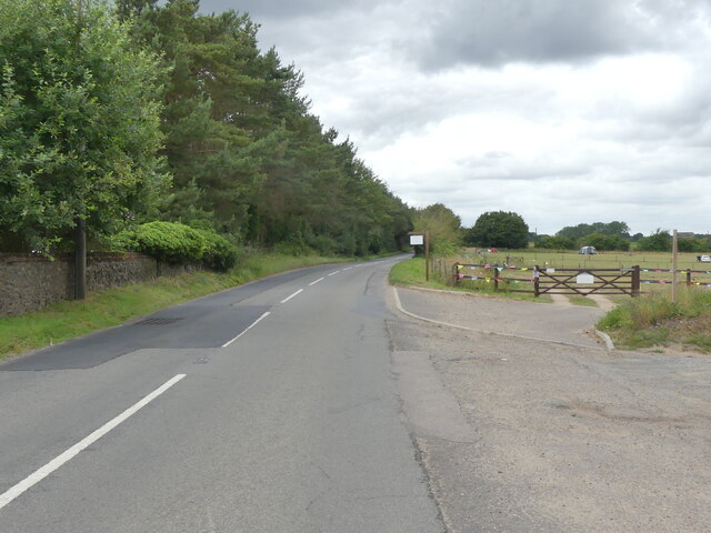
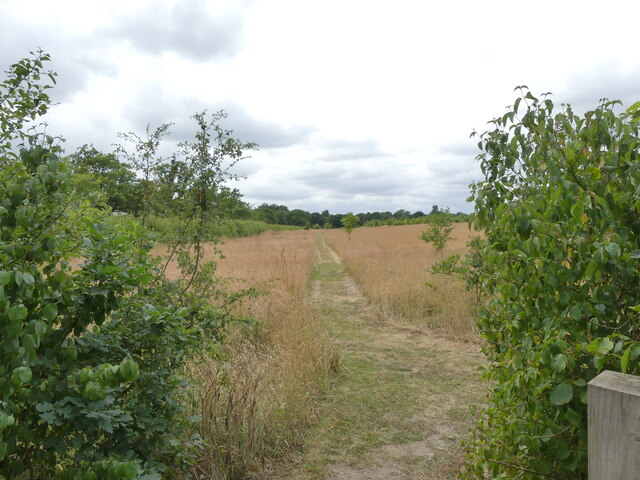
Langmere Lakes is a picturesque freshwater retreat located in the county of Norfolk, England. Comprising of a series of interconnected lakes, pools, ponds, and freshwater marsh, this natural haven offers visitors a tranquil escape from the hustle and bustle of everyday life.
The lakes at Langmere are renowned for their crystal-clear waters and abundant aquatic life. With depths ranging from shallow pools to deeper areas, the lakes provide a diverse habitat for a variety of species. Anglers flock to Langmere Lakes to enjoy a day of fishing, as the lakes are home to an array of fish including carp, pike, roach, and tench.
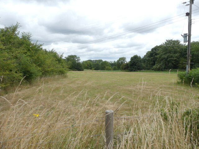
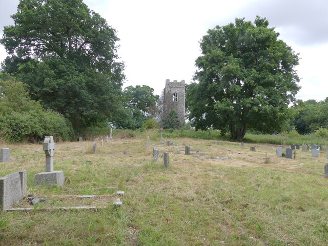
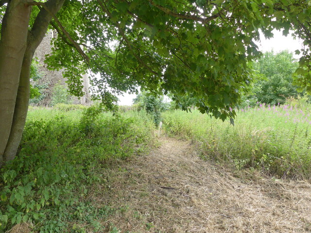
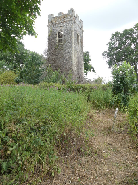
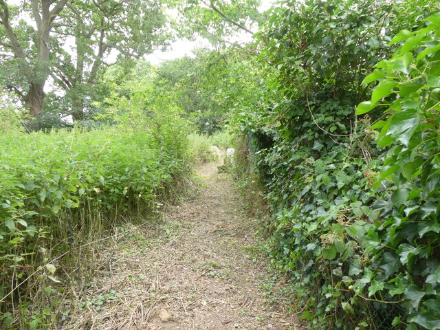
Surrounding the lakes, visitors will find lush greenery and an assortment of flora and fauna. The freshwater marshes are particularly rich in biodiversity, providing a habitat for numerous bird species and a breeding ground for amphibians. Nature enthusiasts can embark on leisurely walks around the lakes, spotting wildflowers, dragonflies, and butterflies along the way.
For those seeking a more active experience, Langmere Lakes offers opportunities for water sports such as kayaking and paddleboarding. The calm and serene waters provide the perfect setting for a day of exploration and adventure.
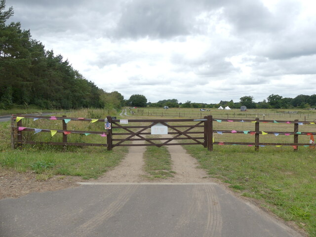
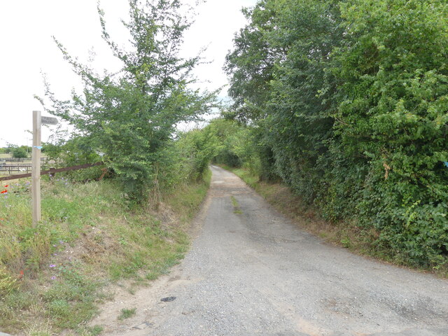
The lakes are easily accessible, with ample parking and well-maintained footpaths. Additionally, there are facilities on-site including picnic areas and toilets, ensuring visitors have all they need for a comfortable and enjoyable visit.
In summary, Langmere Lakes in Norfolk is a picturesque and diverse natural retreat, offering a range of activities for nature lovers, anglers, and those seeking a peaceful escape. Its stunning lakes, pools, ponds, and freshwater marshes make it a must-visit destination for anyone looking to immerse themselves in the beauty of the Norfolk countryside.
If you have any feedback on the listing, please let us know in the comments section below.
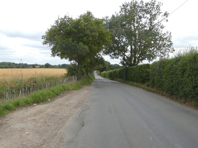
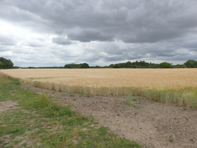
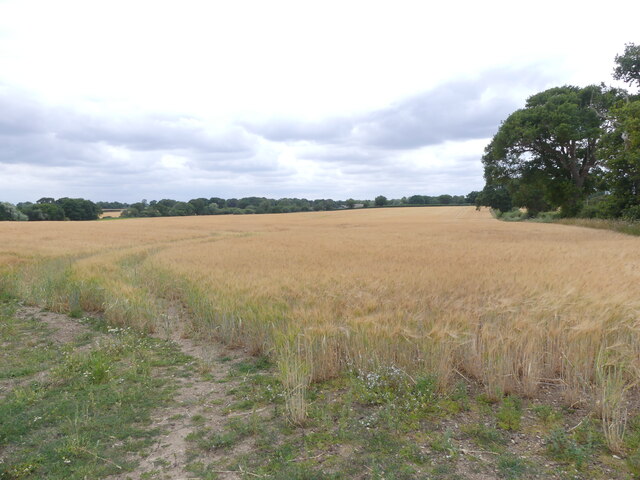
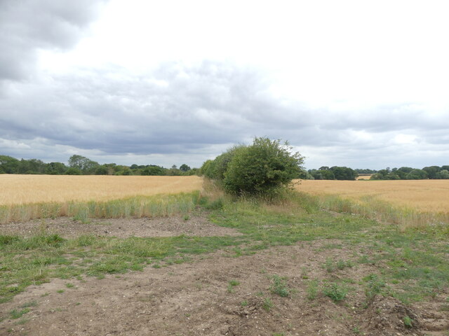
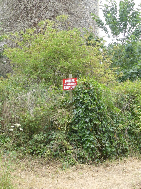
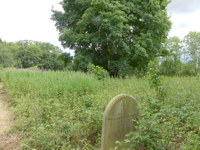
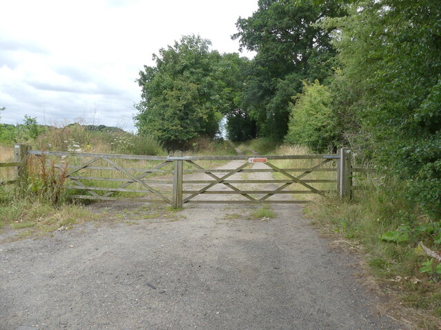
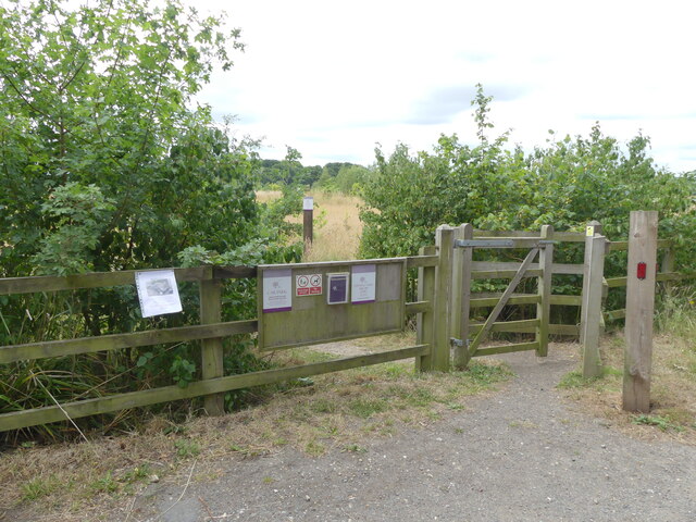
Langmere Lakes Images
Images are sourced within 2km of 52.728538/1.3167743 or Grid Reference TG2419. Thanks to Geograph Open Source API. All images are credited.

Langmere Lakes is located at Grid Ref: TG2419 (Lat: 52.728538, Lng: 1.3167743)
Administrative County: Norfolk
District: Broadland
Police Authority: Norfolk
What 3 Words
///merit.commander.wharfs. Near Buxton, Norfolk
Nearby Locations
Related Wikis

Hainford
Hainford (originally Haynford) is a village and civil parish in the English county of Norfolk. It covers an area of 6.94 km2 (2.68 sq mi) and had a population...

Horstead Hall
Horstead Hall was a country house in Norfolk that was demolished in the 1950s. The village of Horstead in the county of Norfolk is not short of country...

Horstead with Stanninghall
Horstead with Stanninghall is a civil parish in the English county of Norfolk which is also known as 'The Gateway of The Broads' consisting of the former...

Frettenham Windmill
Frettenham Mill is a Grade II listed tower mill at Frettenham, Norfolk, England which has been converted to residential accommodation. == History == Frettenham...

Stratton Strawless
Stratton Strawless is a village in the county of Norfolk and district of Broadland. The civil parish covers 714 acres (289 ha) and has a population of...

St Theobald's Church, Great Hautbois
St Theobald's Church is a former church at Great Hautbois, near Coltishall in Norfolk, England. During the medieval period it was a place of pilgrimage...

Frettenham
Frettenham is a village and civil parish in the English county of Norfolk. It is located 3.2 miles (5.1 km) west of Wroxham, and 5.7 miles (9.2 km) north...
Lamas, Norfolk
Lamas (also spelled Lammas) is a village in Broadland, Norfolk, England. Administratively it falls within the civil parish of Buxton with Lamas. The village...
Nearby Amenities
Located within 500m of 52.728538,1.3167743Have you been to Langmere Lakes?
Leave your review of Langmere Lakes below (or comments, questions and feedback).