Langmere Wood
Wood, Forest in Norfolk Broadland
England
Langmere Wood
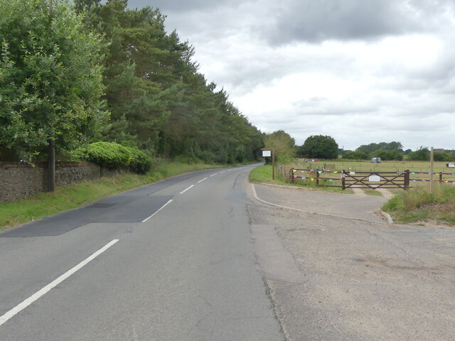
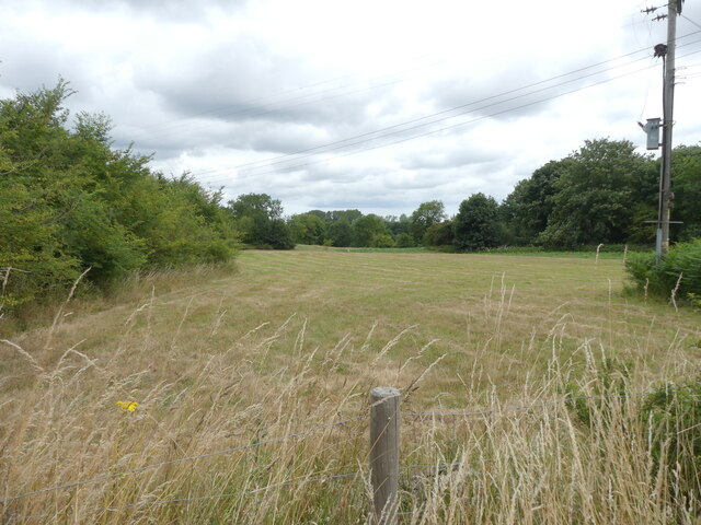
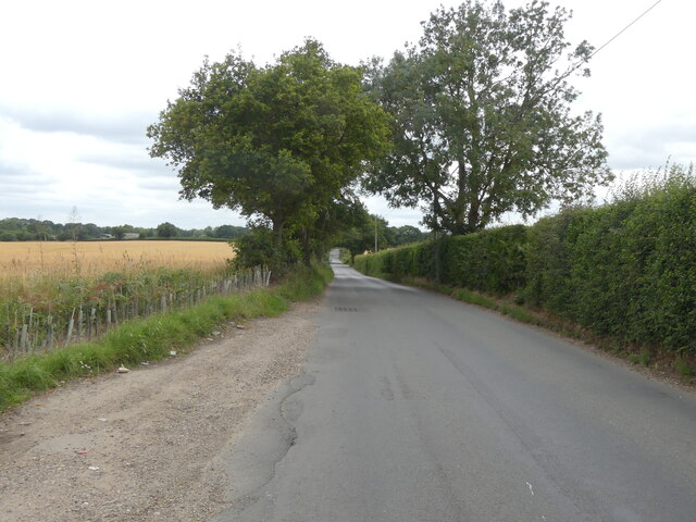
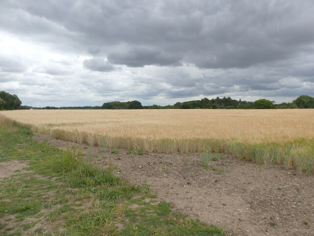
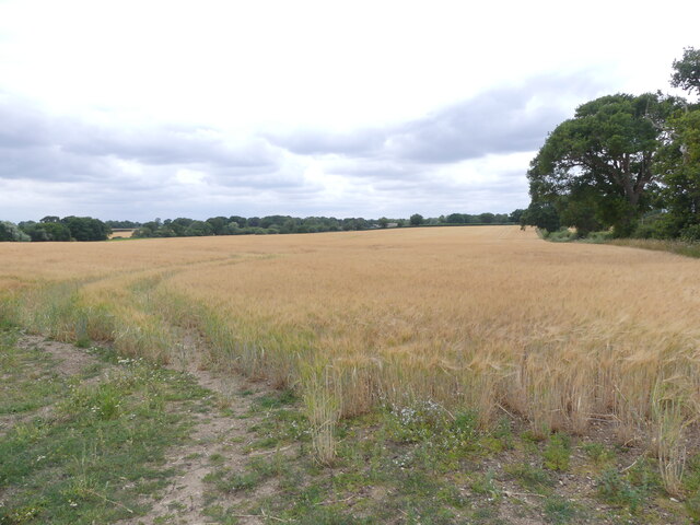
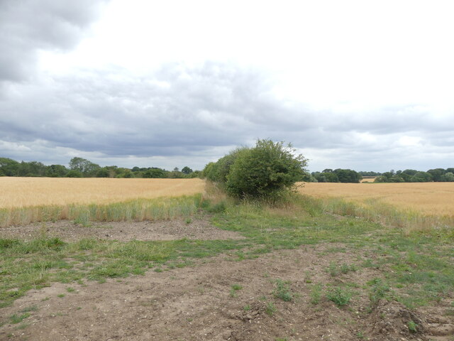
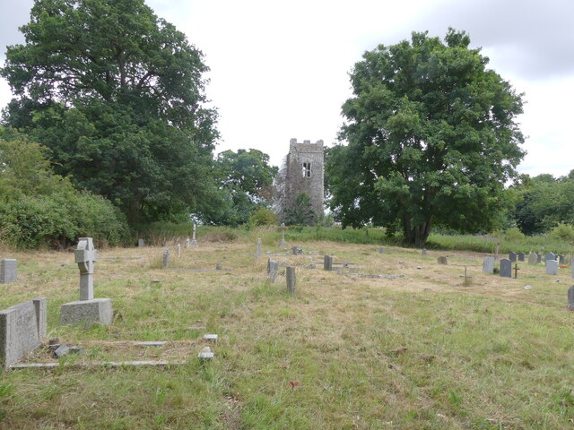
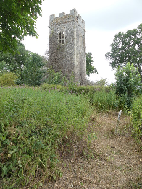
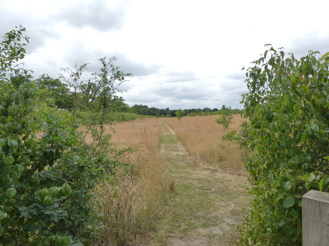
Langmere Wood is a picturesque forest located in Norfolk, England. It covers an area of approximately 200 acres and is known for its diverse range of flora and fauna. The wood is situated near the village of Langmere and is easily accessible by both car and foot.
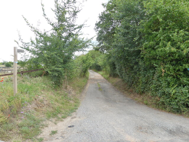
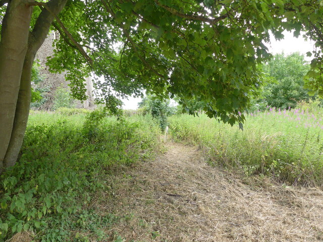
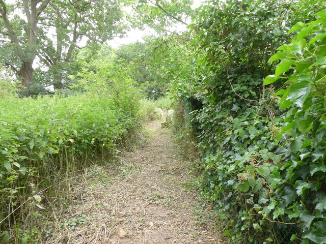
The woodland is composed mainly of broadleaf trees, including oak, ash, and beech. These towering trees provide a dense canopy, creating a cool and tranquil atmosphere within the wood. Beneath the trees, a carpet of bluebells, wild garlic, and ferns add to the enchanting beauty of the forest floor.
Langmere Wood is a haven for wildlife, offering a sanctuary for a variety of bird species. Visitors may be lucky enough to spot woodpeckers, buzzards, and tawny owls among the treetops. The wood is also home to mammals such as deer, foxes, and badgers, which can occasionally be glimpsed during the early morning or evening hours.
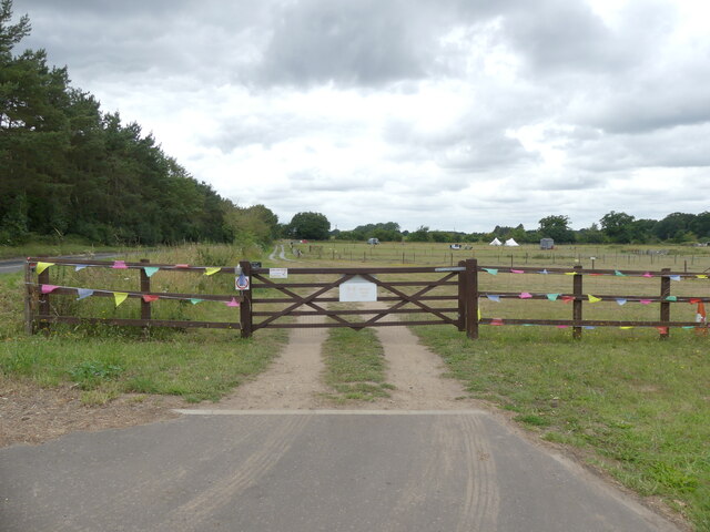
There are several well-maintained trails that allow visitors to explore the wood at their own pace. These paths wind through the trees, providing opportunities for peaceful walks and nature observation. The wood is particularly popular among nature enthusiasts, photographers, and families seeking a tranquil escape from the bustle of everyday life.
Langmere Wood offers a true taste of Norfolk's natural beauty, with its ancient trees, vibrant wildlife, and serene atmosphere. Whether it's a leisurely stroll, birdwatching, or simply enjoying the peaceful surroundings, this forest is a must-visit destination for anyone seeking a connection with nature in the heart of Norfolk.
If you have any feedback on the listing, please let us know in the comments section below.
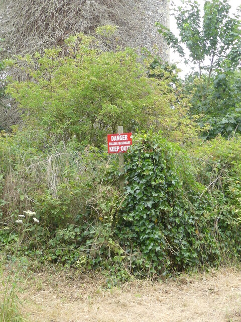
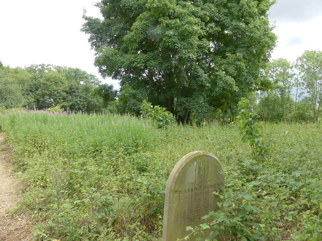
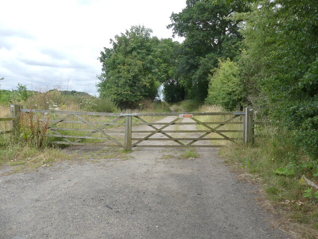
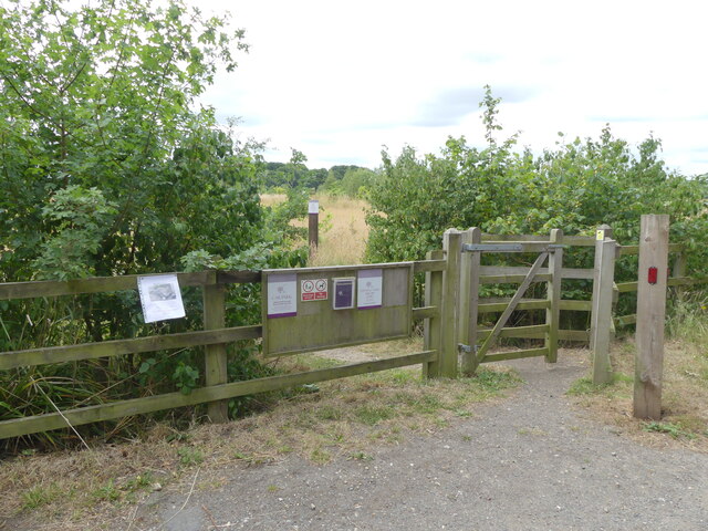
Langmere Wood Images
Images are sourced within 2km of 52.729341/1.3189241 or Grid Reference TG2419. Thanks to Geograph Open Source API. All images are credited.

Langmere Wood is located at Grid Ref: TG2419 (Lat: 52.729341, Lng: 1.3189241)
Administrative County: Norfolk
District: Broadland
Police Authority: Norfolk
What 3 Words
///narrowest.canny.fame. Near Buxton, Norfolk
Nearby Locations
Related Wikis

Horstead Hall
Horstead Hall was a country house in Norfolk that was demolished in the 1950s. The village of Horstead in the county of Norfolk is not short of country...

Hainford
Hainford (originally Haynford) is a village and civil parish in the English county of Norfolk. It covers an area of 6.94 km2 (2.68 sq mi) and had a population...

Horstead with Stanninghall
Horstead with Stanninghall is a civil parish in the English county of Norfolk which is also known as 'The Gateway of The Broads' consisting of the former...

St Theobald's Church, Great Hautbois
St Theobald's Church is a former church at Great Hautbois, near Coltishall in Norfolk, England. During the medieval period it was a place of pilgrimage...

Frettenham Windmill
Frettenham Mill is a Grade II listed tower mill at Frettenham, Norfolk, England which has been converted to residential accommodation. == History == Frettenham...

Stratton Strawless
Stratton Strawless is a village in the county of Norfolk and district of Broadland. The civil parish covers 714 acres (289 ha) and has a population of...

Frettenham
Frettenham is a village and civil parish in the English county of Norfolk. It is located 3.2 miles (5.1 km) west of Wroxham, and 5.7 miles (9.2 km) north...
Lamas, Norfolk
Lamas (also spelled Lammas) is a village in Broadland, Norfolk, England. Administratively it falls within the civil parish of Buxton with Lamas. The village...
Nearby Amenities
Located within 500m of 52.729341,1.3189241Have you been to Langmere Wood?
Leave your review of Langmere Wood below (or comments, questions and feedback).