Langmere Lake
Lake, Pool, Pond, Freshwater Marsh in Norfolk Broadland
England
Langmere Lake
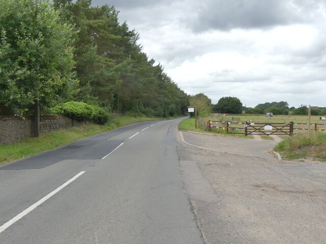
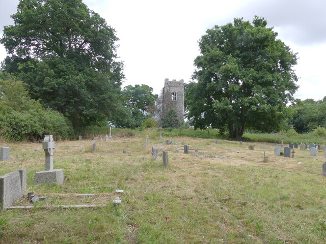
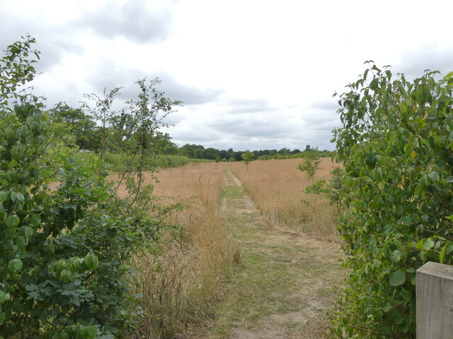
Langmere Lake is a picturesque body of water located in the county of Norfolk, England. As a freshwater lake, it is nestled amidst the beautiful countryside, surrounded by lush greenery and rolling hills. The lake spans an area of approximately 10 acres, making it a relatively small but charming water feature.
Langmere Lake is often referred to as a pool or pond due to its size and tranquil nature. It is an ideal spot for those seeking a peaceful retreat or a leisurely stroll along its banks. The lake is fed by a natural spring, ensuring a constant flow of fresh water throughout the year.
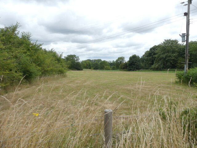
The surrounding area of Langmere Lake is home to a variety of wildlife, making it a popular spot for nature enthusiasts and birdwatchers. The lake supports a diverse range of aquatic plants, providing a habitat for various species of fish, frogs, and waterfowl. Visitors may spot mallards, coots, and herons gracefully gliding across the calm waters.
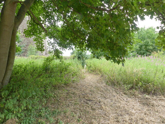
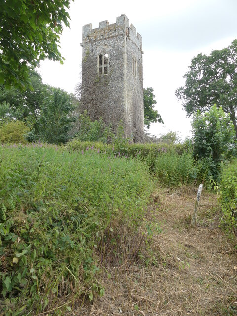
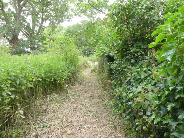
Additionally, Langmere Lake is adjacent to a freshwater marsh, adding to its ecological significance. The marshland is characterized by dense vegetation and wetland plants, creating a thriving ecosystem for numerous animal species. It serves as a vital breeding ground for amphibians and insects, contributing to the overall biodiversity of the area.
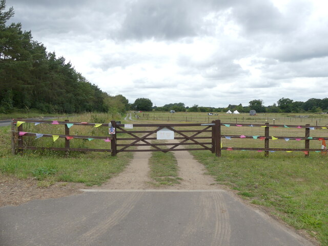
Overall, Langmere Lake in Norfolk offers a tranquil and idyllic setting, perfect for those who appreciate the beauty of nature and seek a peaceful escape from the bustle of everyday life.
If you have any feedback on the listing, please let us know in the comments section below.
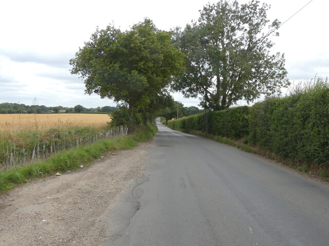
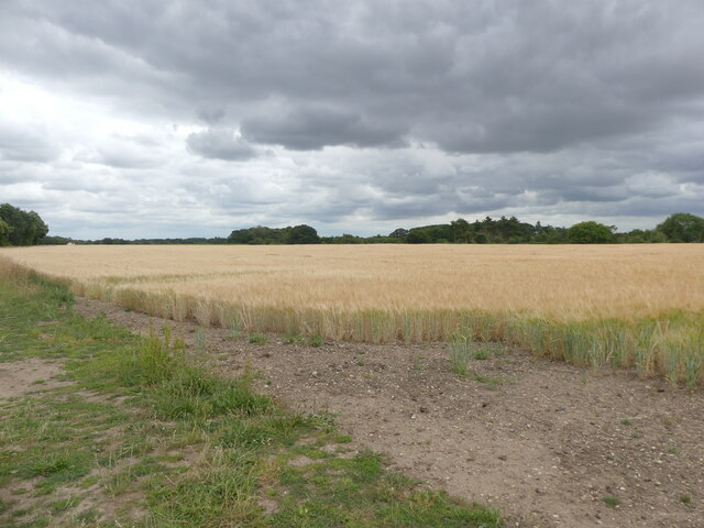
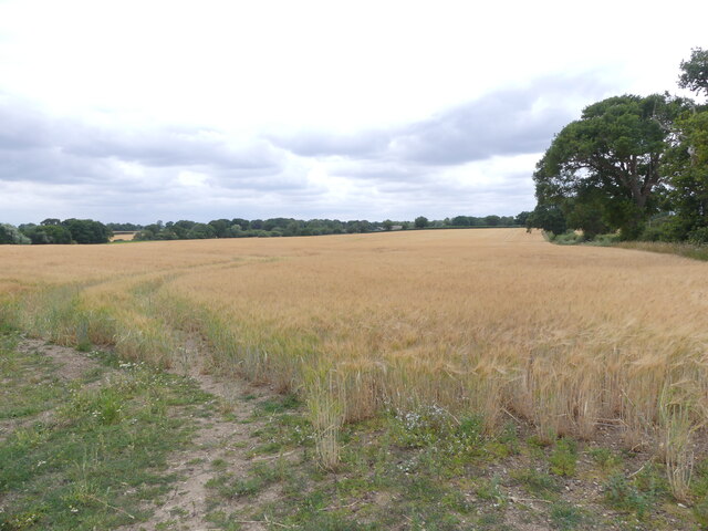
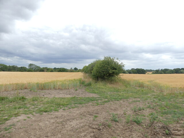
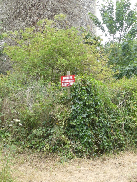
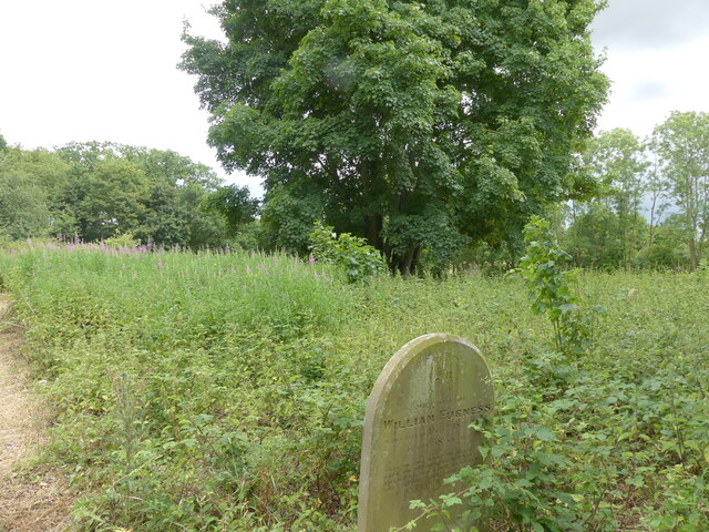
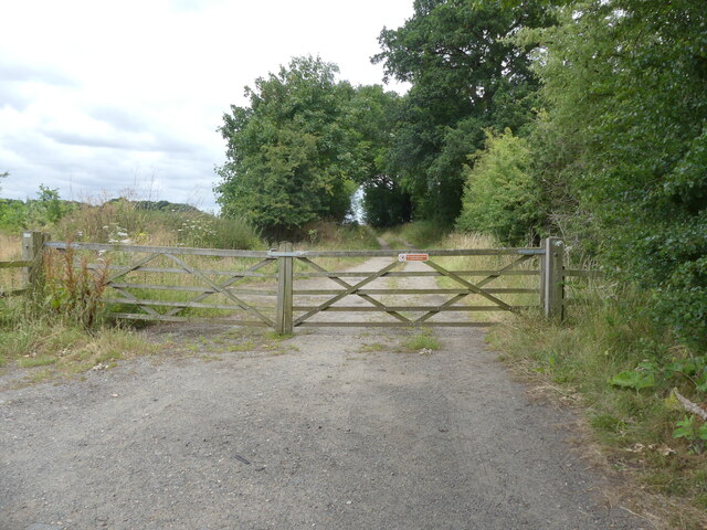
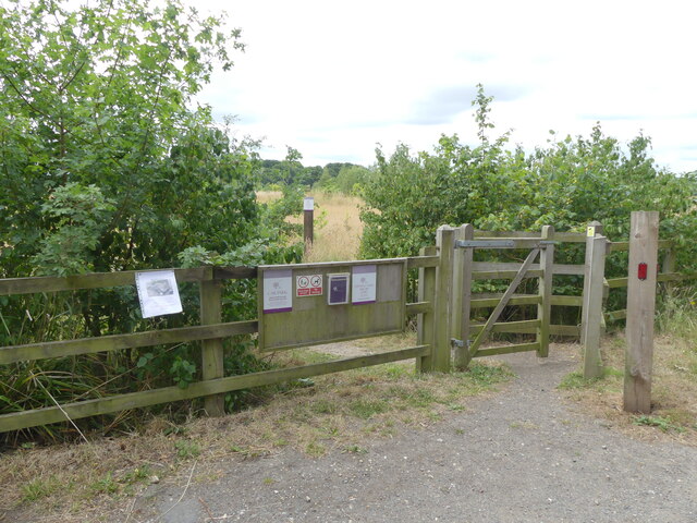
Langmere Lake Images
Images are sourced within 2km of 52.728689/1.3164895 or Grid Reference TG2419. Thanks to Geograph Open Source API. All images are credited.

Langmere Lake is located at Grid Ref: TG2419 (Lat: 52.728689, Lng: 1.3164895)
Administrative County: Norfolk
District: Broadland
Police Authority: Norfolk
What 3 Words
///reassured.heightens.filed. Near Buxton, Norfolk
Nearby Locations
Related Wikis

Hainford
Hainford (originally Haynford) is a village and civil parish in the English county of Norfolk. It covers an area of 6.94 km2 (2.68 sq mi) and had a population...

Horstead Hall
Horstead Hall was a country house in Norfolk that was demolished in the 1950s. The village of Horstead in the county of Norfolk is not short of country...

Horstead with Stanninghall
Horstead with Stanninghall is a civil parish in the English county of Norfolk which is also known as 'The Gateway of The Broads' consisting of the former...

Frettenham Windmill
Frettenham Mill is a Grade II listed tower mill at Frettenham, Norfolk, England which has been converted to residential accommodation. == History == Frettenham...

Stratton Strawless
Stratton Strawless is a village in the county of Norfolk and district of Broadland. The civil parish covers 714 acres (289 ha) and has a population of...

St Theobald's Church, Great Hautbois
St Theobald's Church is a former church at Great Hautbois, near Coltishall in Norfolk, England. During the medieval period it was a place of pilgrimage...

Frettenham
Frettenham is a village and civil parish in the English county of Norfolk. It is located 3.2 miles (5.1 km) west of Wroxham, and 5.7 miles (9.2 km) north...

Buxton, Norfolk
Buxton is a village in the parish of Buxton with Lamas, in the Broadland district of the county of Norfolk, England. It is located between Norwich and...
Nearby Amenities
Located within 500m of 52.728689,1.3164895Have you been to Langmere Lake?
Leave your review of Langmere Lake below (or comments, questions and feedback).