Wolterton Lake
Lake, Pool, Pond, Freshwater Marsh in Norfolk North Norfolk
England
Wolterton Lake
Wolterton Lake is a picturesque freshwater body located in Norfolk, England. Nestled amidst the rolling countryside, it is a popular destination for nature lovers and outdoor enthusiasts seeking tranquility and natural beauty. With its serene surroundings and diverse ecosystem, the lake offers a range of recreational activities and serves as a vital habitat for various flora and fauna.
Covering an area of approximately 20 acres, Wolterton Lake is classified as a pool or pond due to its smaller size compared to other larger bodies of water in the region. The lake is fed by several natural springs, ensuring a constant flow of freshwater throughout the year. The water is clear and pristine, providing a suitable environment for a multitude of aquatic life.
Surrounded by lush vegetation, Wolterton Lake is also home to a freshwater marsh, which adds to the overall biodiversity of the area. The marsh is characterized by its soft, wet ground and the presence of various marsh-loving plants, including reeds and rushes. This marshland serves as a critical habitat for many bird species, amphibians, and insects, attracting avid birdwatchers and nature photographers.
Visitors to Wolterton Lake can enjoy a range of activities such as fishing, boating, and wildlife spotting. Fishing enthusiasts can find a variety of fish species, including carp, pike, and perch, making it a popular spot for anglers. The lake is also a haven for birdwatchers, with the opportunity to spot species such as swans, geese, ducks, and herons.
Overall, Wolterton Lake offers a peaceful escape into nature, providing a diverse range of habitats and recreational opportunities for visitors to enjoy.
If you have any feedback on the listing, please let us know in the comments section below.
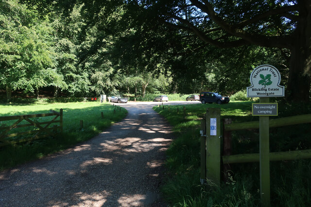
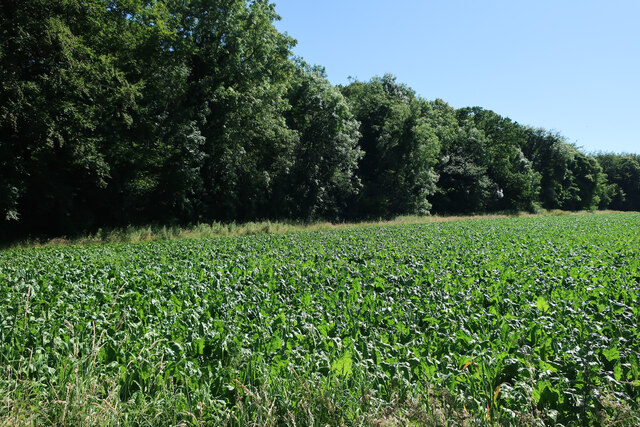
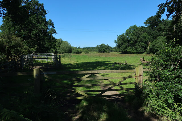
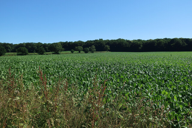
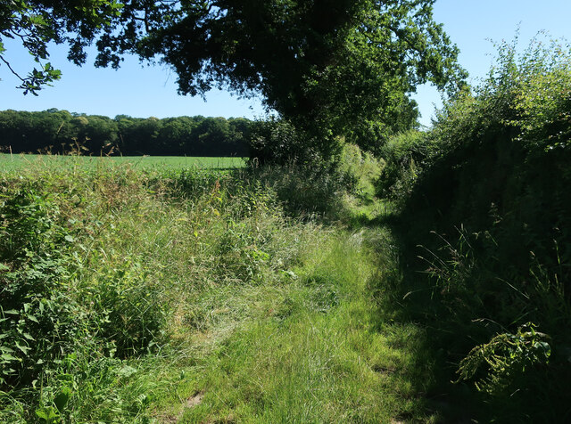
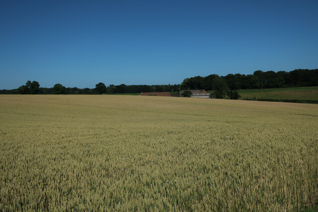
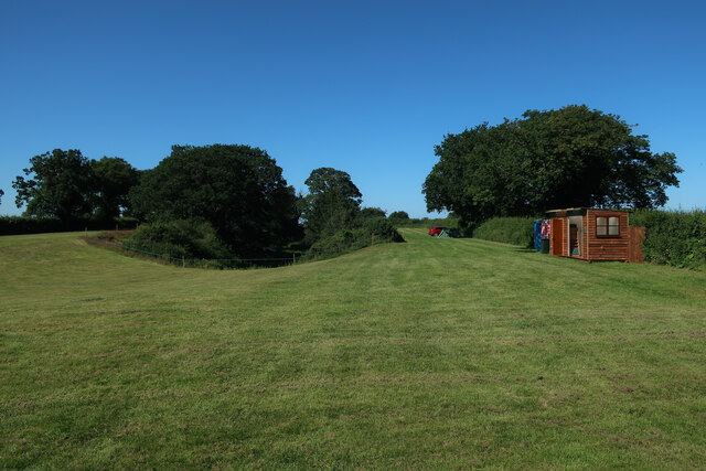
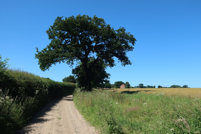
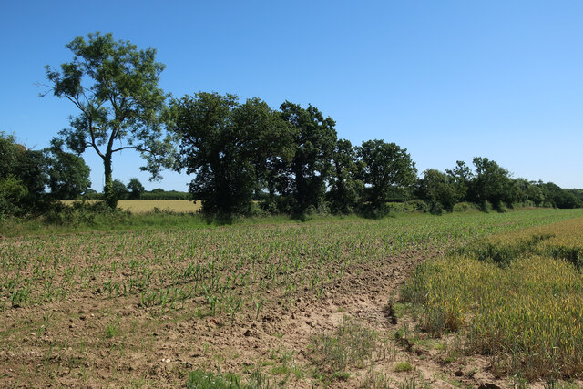
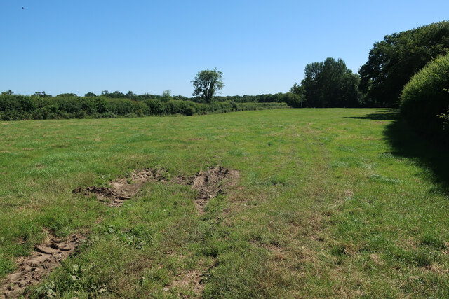
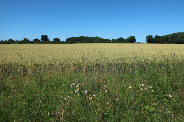
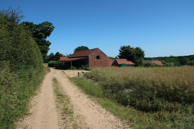
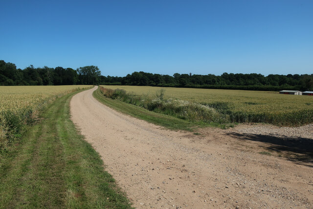
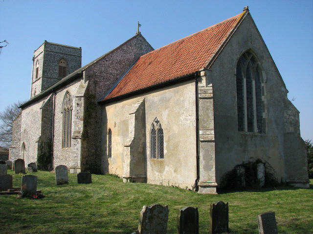
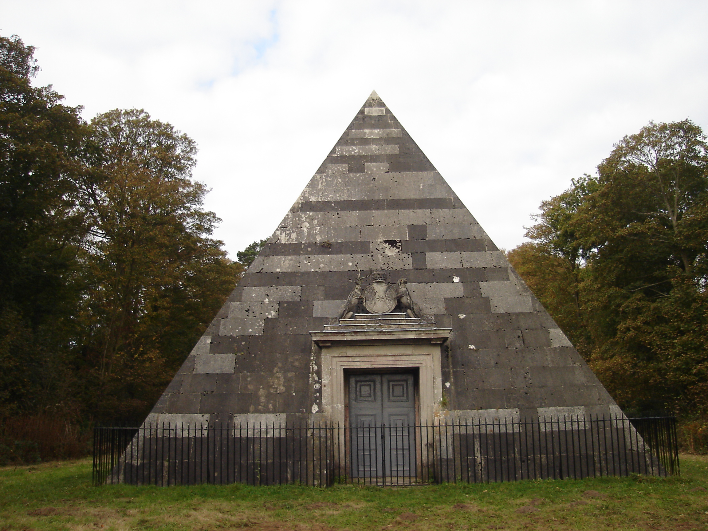
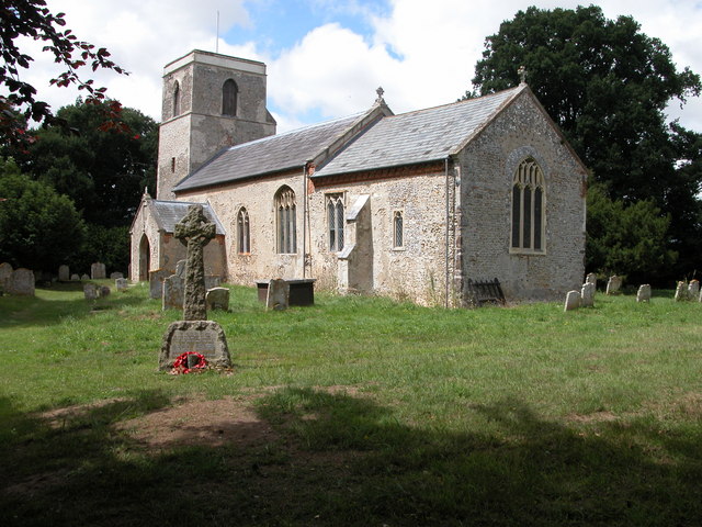
Wolterton Lake Images
Images are sourced within 2km of 52.835616/1.2098565 or Grid Reference TG1631. Thanks to Geograph Open Source API. All images are credited.


Wolterton Lake is located at Grid Ref: TG1631 (Lat: 52.835616, Lng: 1.2098565)
Administrative County: Norfolk
District: North Norfolk
Police Authority: Norfolk
What 3 Words
///hairspray.physics.boats. Near Aylsham, Norfolk
Nearby Locations
Related Wikis


Nearby Amenities
Located within 500m of 52.835616,1.2098565Have you been to Wolterton Lake?
Leave your review of Wolterton Lake below (or comments, questions and feedback).