Haveringland Lake

Lake, Pool, Pond, Freshwater Marsh in Norfolk Broadland

England

Haveringland Lake

Footpath to Swannington Someone has been sloshing the weedkiller around.
Footpath to Swannington Credit: Jonathan Thacker

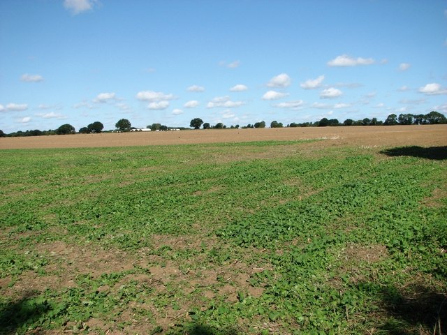
Haveringland Lake, located in Norfolk, England, is a picturesque freshwater body surrounded by lush greenery and diverse wildlife. Spanning an area of approximately 60 acres, it is often referred to as a lake, pool, pond, or freshwater marsh due to its varied features and ecological importance.

The lake boasts crystal-clear waters, fed by natural springs and rainwater runoff, making it an ideal habitat for a wide range of aquatic plants and animals. The shoreline is lined with reed beds, which provide shelter and nesting sites for numerous bird species, including mallards, herons, and kingfishers. Additionally, the lake is home to an abundance of fish, such as roach, pike, and tench, attracting anglers from near and far.

Surrounded by woodland and meadows, Haveringland Lake offers a tranquil escape for nature enthusiasts and visitors seeking a peaceful retreat. The diverse vegetation around the lake includes water lilies, bulrushes, and other wetland plants, creating a vibrant and colorful landscape throughout the year.

The lake also serves as a recreational area, with facilities for boating, kayaking, and paddleboarding. Visitors can hire boats or bring their own to explore the calm waters and enjoy the scenic views. There are also designated walking trails that meander through the surrounding woodlands, allowing visitors to immerse themselves in the natural beauty and spot various wildlife species.

Haveringland Lake is an important conservation area, recognized for its ecological significance and contribution to biodiversity. Its diverse ecosystem supports a wide range of plant and animal species, making it a haven for nature lovers and a valuable resource for scientific research.

If you have any feedback on the listing, please let us know in the comments section below.

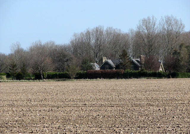
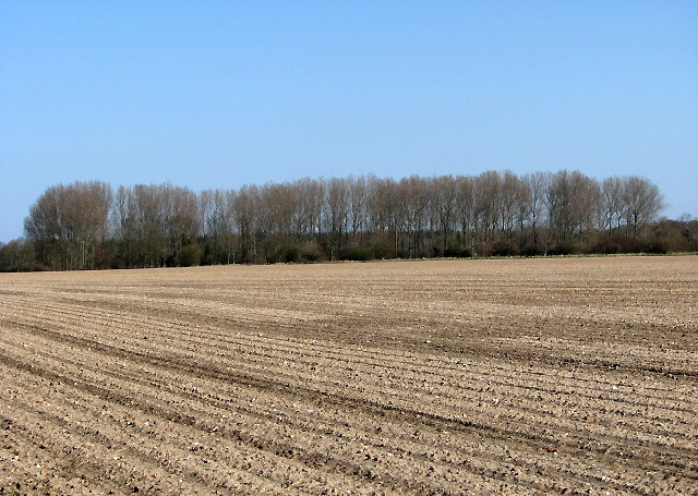
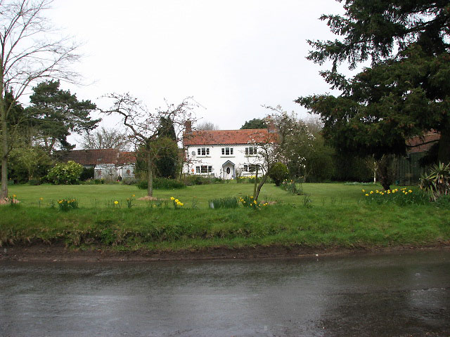
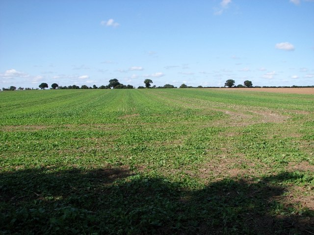
Haveringland Lake Images

Images are sourced within 2km of 52.744837/1.1945806 or Grid Reference TG1521. Thanks to Geograph Open Source API. All images are credited.

Footpath to Swannington Someone has been sloshing the weedkiller around.
Footpath to Swannington
Someone has been sloshing the weedkiller around.
Footpath leading north to Quaker's Farm
Long Covert, Haveringland
Haveringland Road, Haveringland
Norfolk Farmland Looking from Mill Lane, across newly ploughed fields to cottages on Haveringland Rd.
Norfolk Farmland
Looking from Mill Lane, across newly ploughed fields to cottages on Haveringland Rd.
View north along Mill Lane A public footpath across a wheat field turns off in westerly direction; the path leads to Swannington > <a href="https://www.geograph.org.uk/photo/745856">TG1519 : Public footpath to Swannington</a>.
View north along Mill Lane
A public footpath across a wheat field turns off in westerly direction; the path leads to Swannington > TG1519 : Public footpath to Swannington.
Public footpath to Swannington This path turns off Mill Lane > <a href="https://www.geograph.org.uk/photo/745849">TG1519 : View north along Mill Lane</a>; it leads to the village of Swannington further to the west.
Public footpath to Swannington
This path turns off Mill Lane > TG1519 : View north along Mill Lane; it leads to the village of Swannington further to the west.
Mill Lane past Six Acre Plantation
View west across a large wheat field Beside Mill Lane.
View west across a large wheat field
Beside Mill Lane.
House on Haveringland Road The view was taken across the field that lies between Mill Lane and Haveringland Road.
House on Haveringland Road
The view was taken across the field that lies between Mill Lane and Haveringland Road.
A belt of poplars Growing beside Haveringland Road.
A belt of poplars
Growing beside Haveringland Road.
The Old Kings Head The Old Kings Head pub was closed by 1958 and is now a private dwelling. It is located opposite the stocks beside Haveringland Road > <a href="https://www.geograph.org.uk/photo/752730">TG1619 : The stocks</a>.
The Old Kings Head
The Old Kings Head pub was closed by 1958 and is now a private dwelling. It is located opposite the stocks beside Haveringland Road > TG1619 : The stocks.
Opposite Abbey Lane Junction with Haveringland Road.
Opposite Abbey Lane
Junction with Haveringland Road.
View north along nameless stream A poplar has fallen over and lifted all surrounding soil, forming a high wall of earth beside the stream > <a href="https://www.geograph.org.uk/photo/752765">TG1619 : It looks like a wall</a>.
View north along nameless stream
A poplar has fallen over and lifted all surrounding soil, forming a high wall of earth beside the stream > TG1619 : It looks like a wall.
View across nameless stream Towards Long Covert, the woodland seen in the background.
View across nameless stream
Towards Long Covert, the woodland seen in the background.
View south along Mill Lane
Crop fields west of Mill Lane
Fields west of Mill Lane
Show me another place!

Haveringland Lake is located at Grid Ref: TG1521 (Lat: 52.744837, Lng: 1.1945806)

Administrative County: Norfolk

District: Broadland

Police Authority: Norfolk

What 3 Words

///basics.petty.muddle. Near Cawston, Norfolk

Related Wikis

Haveringland

Haveringland is a village and civil parish in the English county of Norfolk about 8 miles (13 km) north-west of Norwich. It covers an area of 8.91 km2...

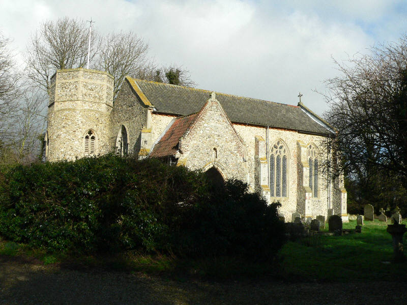
St Nicholas Church, Brandiston

St Nicholas Church is a redundant Anglican church in the village of Brandiston, Norfolk, England. It is recorded in the National Heritage List for England...

Guton

Guton was a settlement in the county of Norfolk in England mentioned in the Domesday Book as Guthetuna. It is described as being held by Osbert from Tihel...

Brandiston

Brandiston is a small village and civil parish near the centre of the county of Norfolk, England, about two miles south-east of the small market town of...

Nearby Amenities

Located within 500m of 52.744837,1.1945806
The data included in this document is from www.openstreetmap.org. The data is made available under ODbL.

Have you been to Haveringland Lake?

Leave your review of Haveringland Lake below (or comments, questions and feedback).