Great Wood
Wood, Forest in Norfolk Broadland
England
Great Wood

Great Wood, Norfolk, also known as Great Wood Forest, is a large woodland located in the county of Norfolk, England. Covering an area of approximately 500 acres, the forest is situated near the village of Great Wood, offering a picturesque and serene setting for visitors to explore.
The wood is predominantly made up of a variety of native tree species, including oak, beech, ash, and birch, which create a diverse and rich ecosystem. The area is home to a wide range of wildlife, including deer, foxes, squirrels, and numerous species of birds, making it a popular destination for nature lovers and birdwatchers.
Visitors to Great Wood can enjoy a network of well-maintained footpaths and trails that wind through the forest, providing opportunities for leisurely walks, hiking, and cycling. The peaceful atmosphere and beautiful scenery make it an ideal location for those looking to escape the hustle and bustle of city life.
In addition to its natural beauty, Great Wood also has historical significance. The forest has been present for centuries, and remnants of ancient earthworks and barrows can still be seen within its boundaries, offering a glimpse into the area's rich past.
Overall, Great Wood, Norfolk, is a captivating woodland that combines natural splendor with historical charm. Whether you are seeking tranquility, a chance to connect with nature, or an opportunity to delve into the region's history, Great Wood promises to provide an unforgettable experience for all who visit.
If you have any feedback on the listing, please let us know in the comments section below.
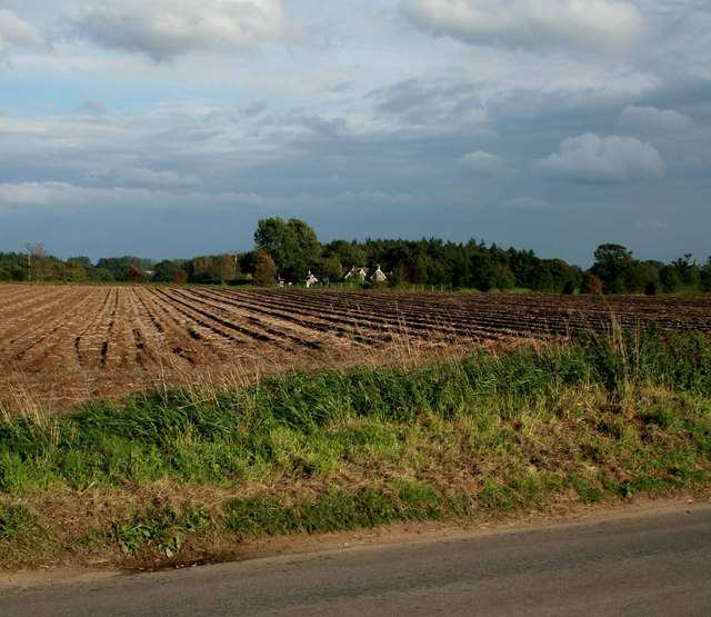
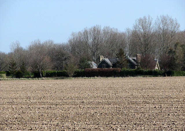
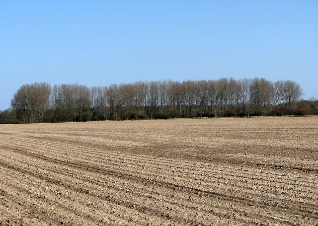
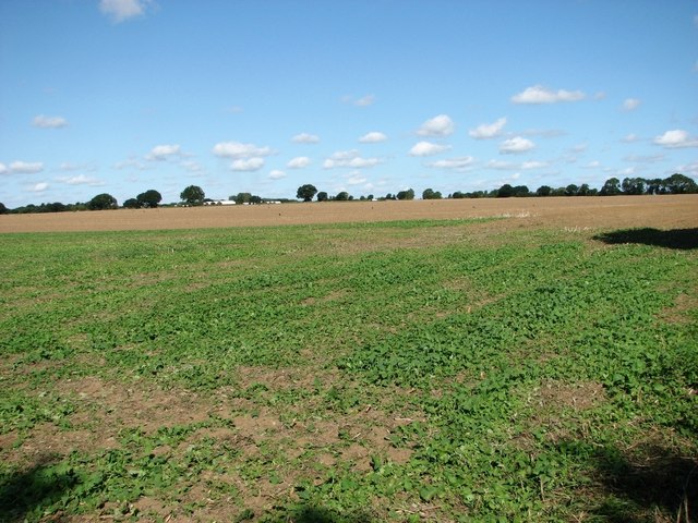
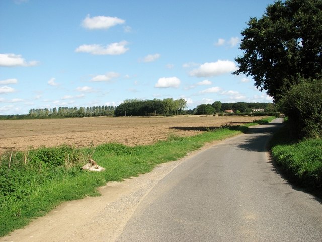
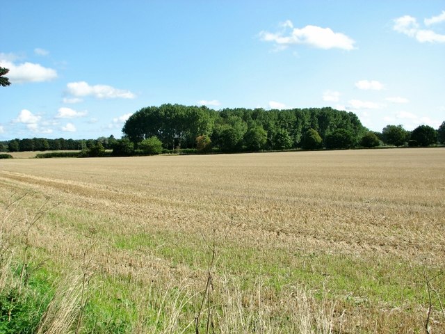
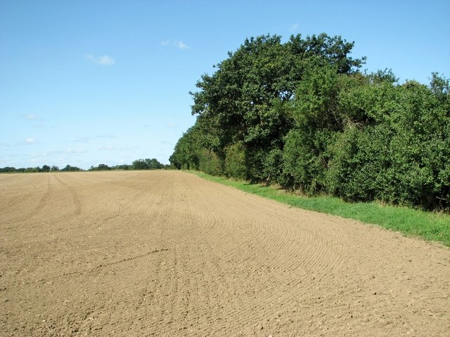
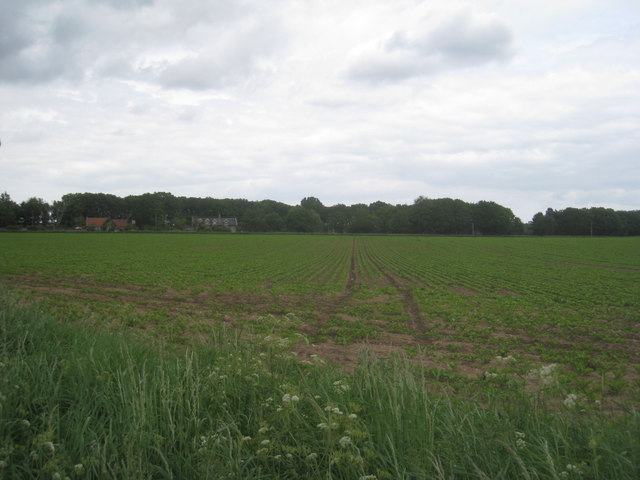
Great Wood Images
Images are sourced within 2km of 52.747976/1.1985599 or Grid Reference TG1521. Thanks to Geograph Open Source API. All images are credited.


Great Wood is located at Grid Ref: TG1521 (Lat: 52.747976, Lng: 1.1985599)
Administrative County: Norfolk
District: Broadland
Police Authority: Norfolk
What 3 Words
///giggle.splints.coconuts. Near Cawston, Norfolk
Nearby Locations
Related Wikis

Haveringland
Haveringland is a village and civil parish in the English county of Norfolk about 8 miles (13 km) north-west of Norwich. It covers an area of 8.91 km2...
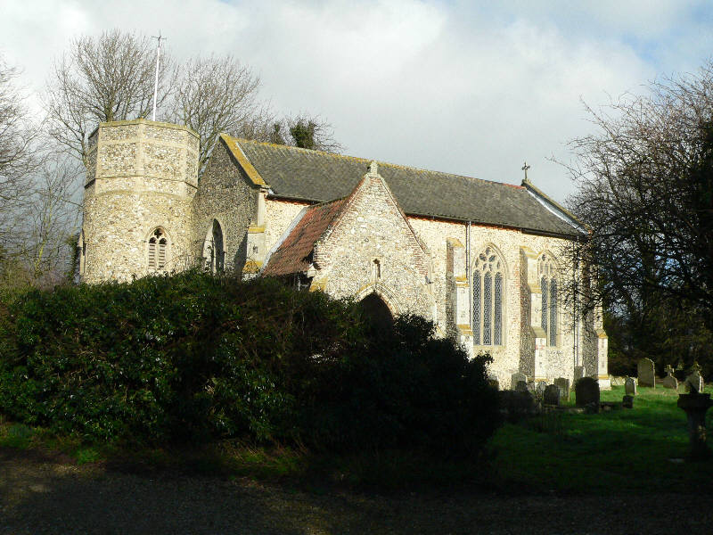
St Nicholas Church, Brandiston
St Nicholas Church is a redundant Anglican church in the village of Brandiston, Norfolk, England. It is recorded in the National Heritage List for England...

Cawston and Marsham Heaths
Cawston and Marsham Heaths is a 116.7-hectare (288-acre) biological Site of Special Scientific Interest north of Norwich in Norfolk. These heaths are dominated...

Guton
Guton was a settlement in the county of Norfolk in England mentioned in the Domesday Book as Guthetuna. It is described as being held by Osbert from Tihel...
Nearby Amenities
Located within 500m of 52.747976,1.1985599Have you been to Great Wood?
Leave your review of Great Wood below (or comments, questions and feedback).