Whitehill Wood
Wood, Forest in Kent Canterbury
England
Whitehill Wood
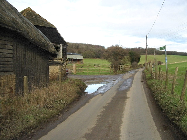
Whitehill Wood is a picturesque forest located in Kent, England. Covering an area of approximately 300 acres, it is a prominent natural attraction in the region. The wood is situated in the southeastern part of Kent, near the village of Shepherdswell.
Whitehill Wood is characterized by its dense foliage and diverse range of tree species. It is primarily composed of broadleaf trees such as oak, beech, and ash, which create an enchanting canopy that provides shade and shelter to various wildlife species. The forest floor is adorned with a rich carpet of bluebells, wildflowers, and ferns during the spring and summer months, further enhancing its natural beauty.
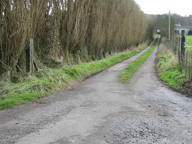
The wood is renowned for its tranquil atmosphere, making it a popular destination for nature enthusiasts and walkers. Numerous well-marked trails crisscross through the forest, allowing visitors to explore its hidden gems, including a small stream that meanders through the heart of the wood. These trails also provide opportunities for birdwatching, as Whitehill Wood is home to a variety of avian species, including woodpeckers, owls, and various songbirds.
Whitehill Wood has a long history and has been managed sustainably for centuries. It has been used as a timber source and has provided fuel for local communities. Today, the wood is managed by local authorities who aim to preserve its natural habitat while allowing controlled access for visitors.
Overall, Whitehill Wood offers a serene and captivating experience for those seeking to immerse themselves in the beauty of nature. Whether it is a leisurely walk, birdwatching, or simply enjoying the tranquility, this forest is a must-visit destination in Kent.
If you have any feedback on the listing, please let us know in the comments section below.
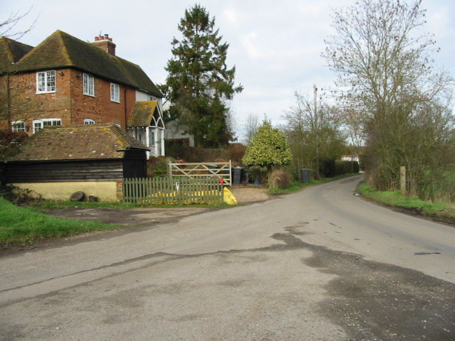
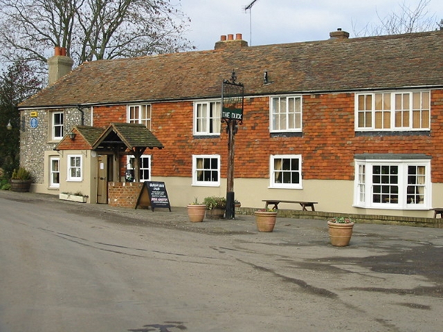
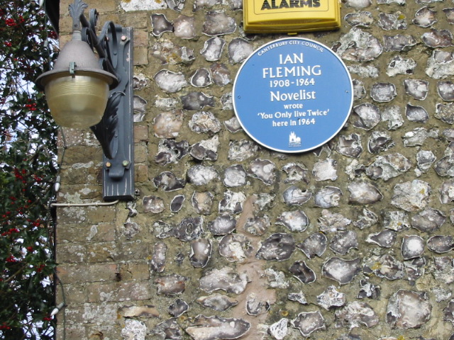
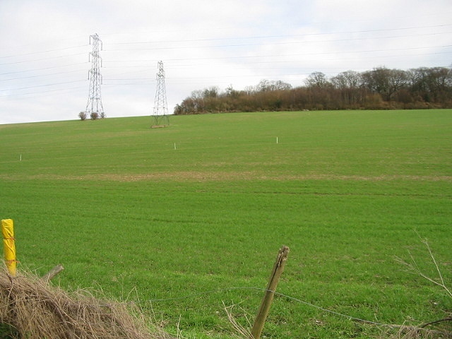
Whitehill Wood Images
Images are sourced within 2km of 51.239828/1.0929277 or Grid Reference TR1553. Thanks to Geograph Open Source API. All images are credited.


Whitehill Wood is located at Grid Ref: TR1553 (Lat: 51.239828, Lng: 1.0929277)
Administrative County: Kent
District: Canterbury
Police Authority: Kent
What 3 Words
///contemplate.cheeks.honestly. Near Bridge, Kent
Nearby Locations
Related Wikis

Lower Hardres
Lower Hardres is a village and former civil parish, now in the parish of Lower Hardres and Nackington, in the City of Canterbury district of Kent, England...

Nackington
Nackington is an English village and former civil parish, now in the parish of Lower Hardres and Nackington, south of Canterbury in the Canterbury district...

Pett Bottom (Canterbury)
Pett Bottom is a small settlement about five miles (8 km) south of Canterbury, Kent, England. The nearest village is Lower Hardres. It is in the civil...

Bridge railway station
Bridge was a station on the Elham Valley Railway. It opened in 1889 and closed to passengers in 1940 and freight in 1947. == History == The station opened...
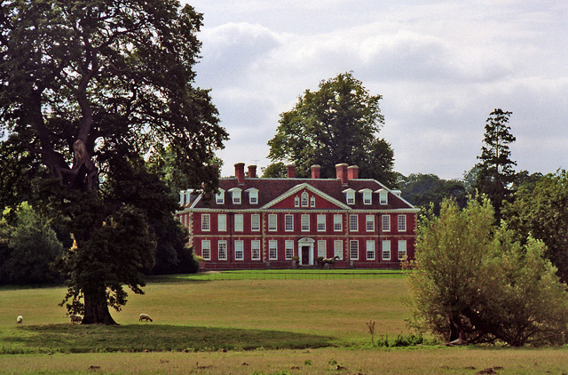
Bourne Park House
Bourne Park House is a Queen Anne style country house on Bourne Park Road, between Bishopsbourne and Bridge near Canterbury in Kent. Built in 1701, it...

Bourne Paddock
Bourne Paddock was a cricket ground at Bourne Park House, the seat of Sir Horatio Mann, at Bishopsbourne around 4 miles (6.4 km) south-east of Canterbury...

Simon Langton Grammar School for Boys
Simon Langton Grammar School for Boys (also known as The Langton Grammar School for Boys and simply referred to as The Langton) is an 11–18 foundation...

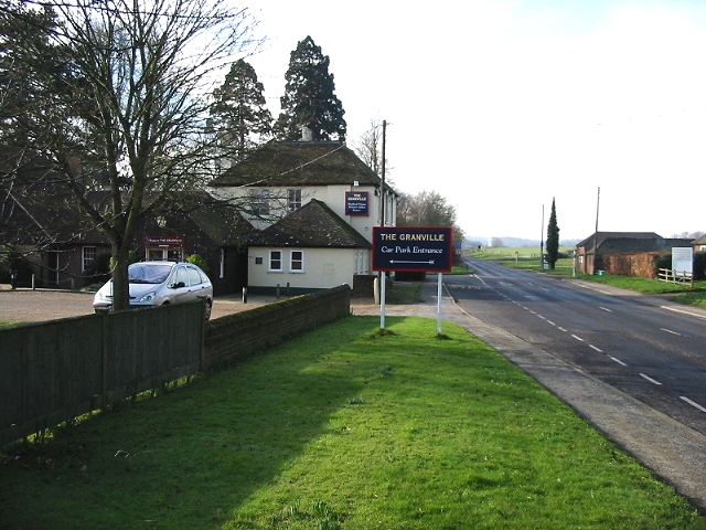
Bridge, Kent
Bridge is a village and civil parish near Canterbury in Kent, South East England. Bridge village is in the Nailbourne valley in a rural setting on the...
Related Videos

Bridge Patrixbourne Bishopsbourne Village, a Walking History Tour Guide Using Old Postcards Kent UK
Bridge, Patrixbourne, Bishopsbourne Village, Kent, UK, A walking history tour guide of Bridge, Patrixbourne, Bishopsbourne ...

London UK Kenterbery Walk
Kenterbery walk.

Canterbury, England
Beautiful places in the world. Boasting its UNESCO-listed Cathedral, medieval walls and heritage buildings, the historic cathedral ...

Dancing in the garden 🪴
canterbury #kent #dreamyescapes #gardening #gardenofdreams #englishgardens #honeymoon.
Nearby Amenities
Located within 500m of 51.239828,1.0929277Have you been to Whitehill Wood?
Leave your review of Whitehill Wood below (or comments, questions and feedback).