Wolterton
Settlement in Norfolk North Norfolk
England
Wolterton
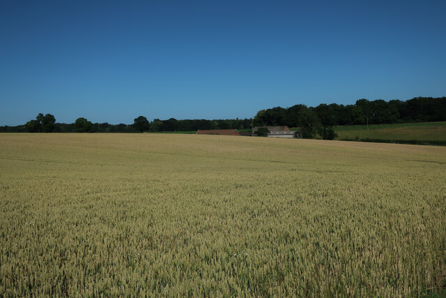
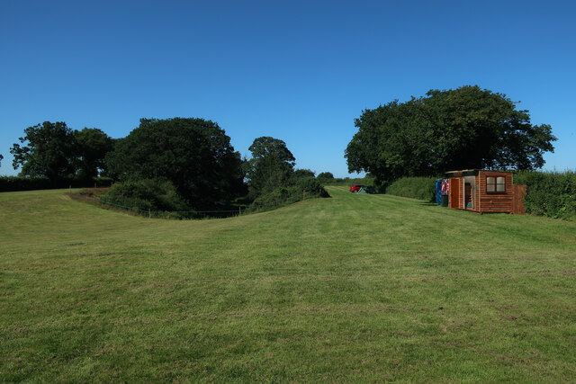
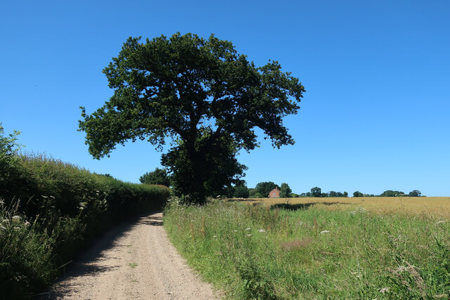
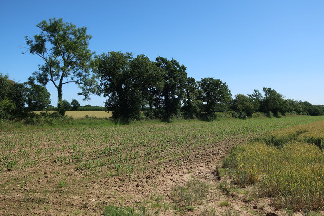
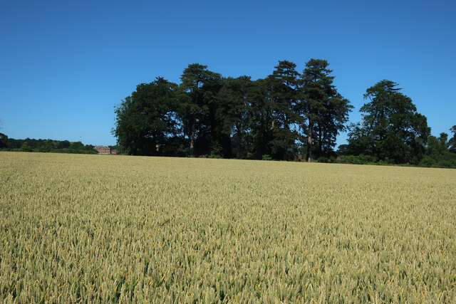
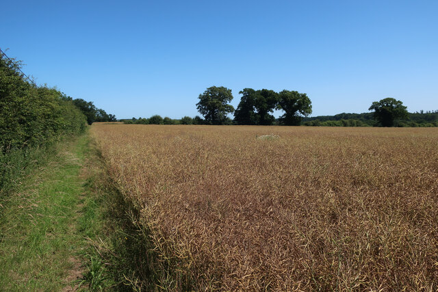
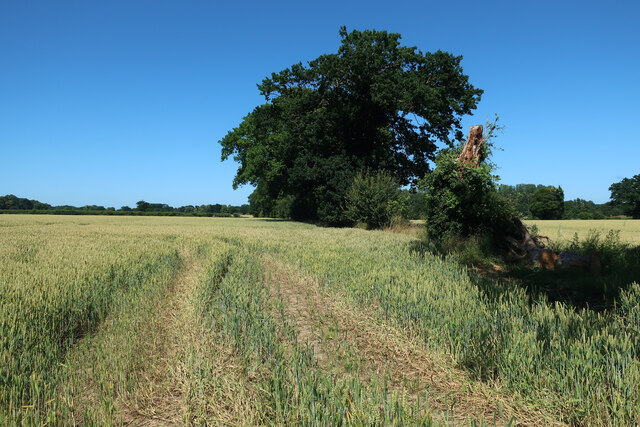
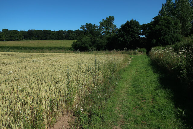
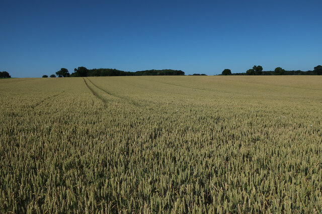
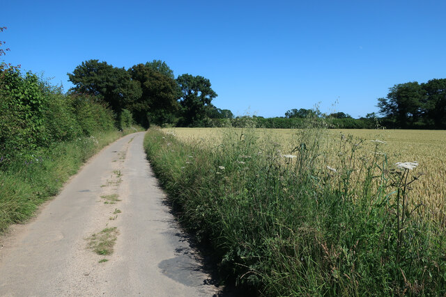
Wolterton is a quaint village located in the county of Norfolk, England. Situated approximately 15 miles north of the city of Norwich, it is nestled within the picturesque Norfolk Broads National Park. The village is known for its idyllic countryside setting, with rolling hills, lush green fields, and charming cottages.
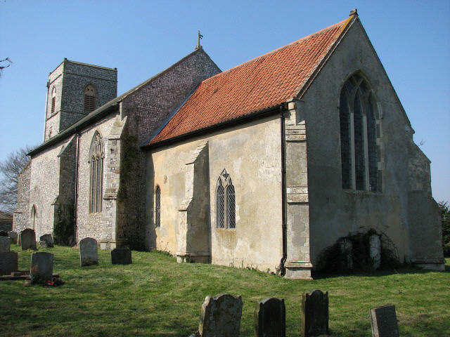
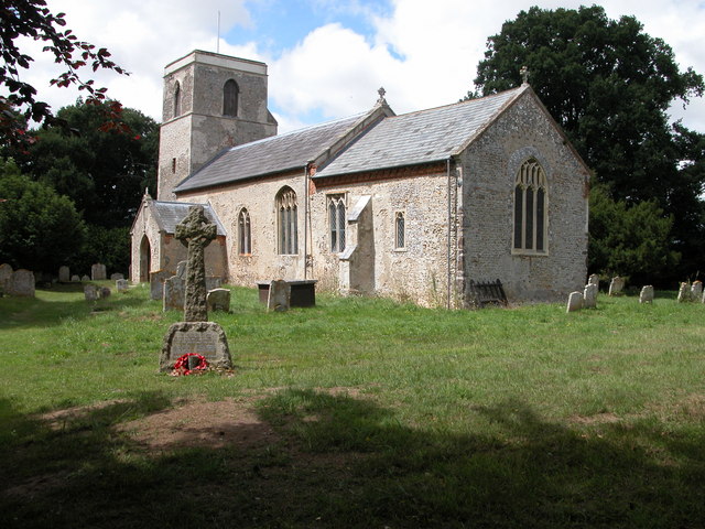
The heart of Wolterton is its historic church, St. Margaret's Church, which dates back to the 12th century. This magnificent medieval building stands as a testament to the village's rich history and architectural heritage. The church's striking tower can be seen from various vantage points around the village.
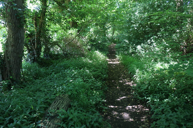
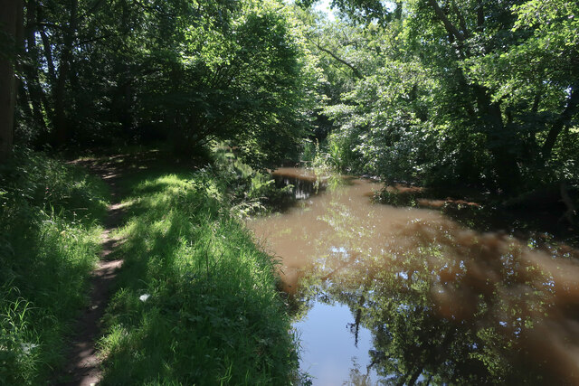
Surrounded by beautiful landscapes, Wolterton offers a range of outdoor activities for nature enthusiasts. The nearby Norfolk Broads provide ample opportunities for boating, fishing, and birdwatching. The tranquil waterways are home to a variety of wildlife, including rare species such as the swallowtail butterfly and the Norfolk hawker dragonfly.
Wolterton is also known for its close proximity to Blickling Hall, a grand Jacobean mansion with stunning gardens. This National Trust property attracts visitors from near and far, who come to admire its impressive architecture and explore the extensive grounds.
Although a small village, Wolterton boasts a tight-knit community, with a local pub, The Wolterton Arms, serving as a social hub for residents and visitors alike. The pub offers a warm and friendly atmosphere, where visitors can enjoy traditional British cuisine and sample locally brewed ales.
Overall, Wolterton is a charming village that offers a peaceful retreat from the hustle and bustle of modern life, showcasing the natural beauty and historical significance of the Norfolk countryside.
If you have any feedback on the listing, please let us know in the comments section below.
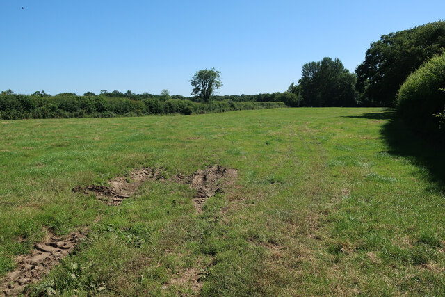
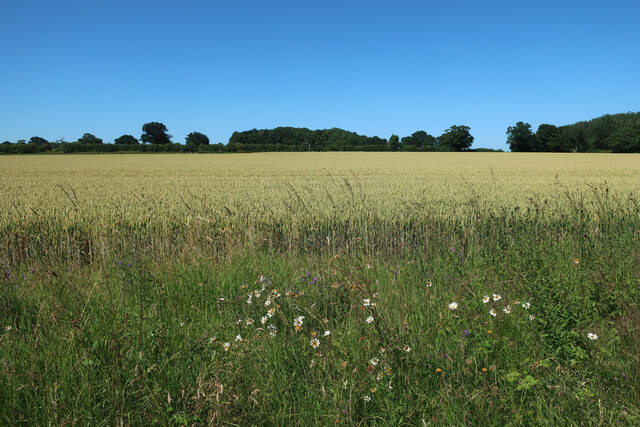
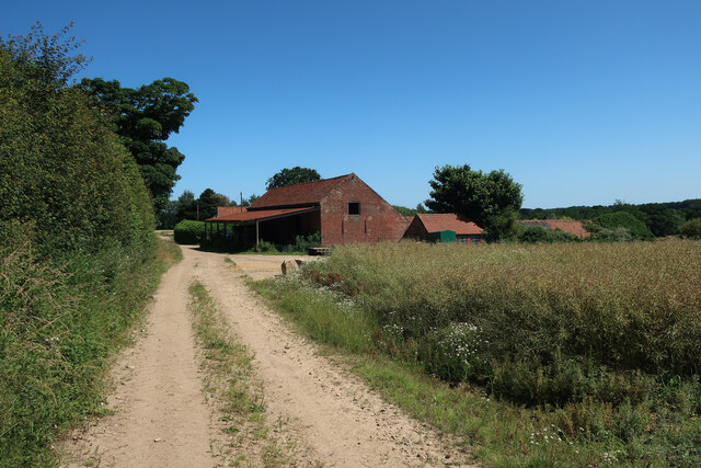
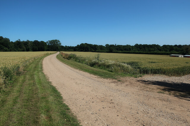
Wolterton Images
Images are sourced within 2km of 52.840088/1.215368 or Grid Reference TG1631. Thanks to Geograph Open Source API. All images are credited.


Wolterton is located at Grid Ref: TG1631 (Lat: 52.840088, Lng: 1.215368)
Administrative County: Norfolk
District: North Norfolk
Police Authority: Norfolk
What 3 Words
///stoppage.tricks.trying. Near Aylsham, Norfolk
Nearby Locations
Related Wikis

Wolterton Hall
Wolterton Hall, is a large country house in the ecclesiastical parish of Wickmere with Wolterton and the civil parish of Wickmere in the county of Norfolk...
Calthorpe, Norfolk
Calthorpe is a small village and former civil parish, now in the parish of Erpingham, in the North Norfolk district, in the county of Norfolk, England...

Wickmere
Wickmere is a village and a civil parish in the English county of Norfolk, 18.9 miles (30.4 km) north of Norwich, 7.3 miles (11.7 km) south-southwest...

Moorgate, Norfolk
Moorgate is a village to the north of Aylsham in the county of Norfolk, England.

Scarrow Beck
Scarrow Beck is a minor watercourse which rises in the north of the English county of Norfolk. It is a tributary of the River Bure. Its spring is in the...
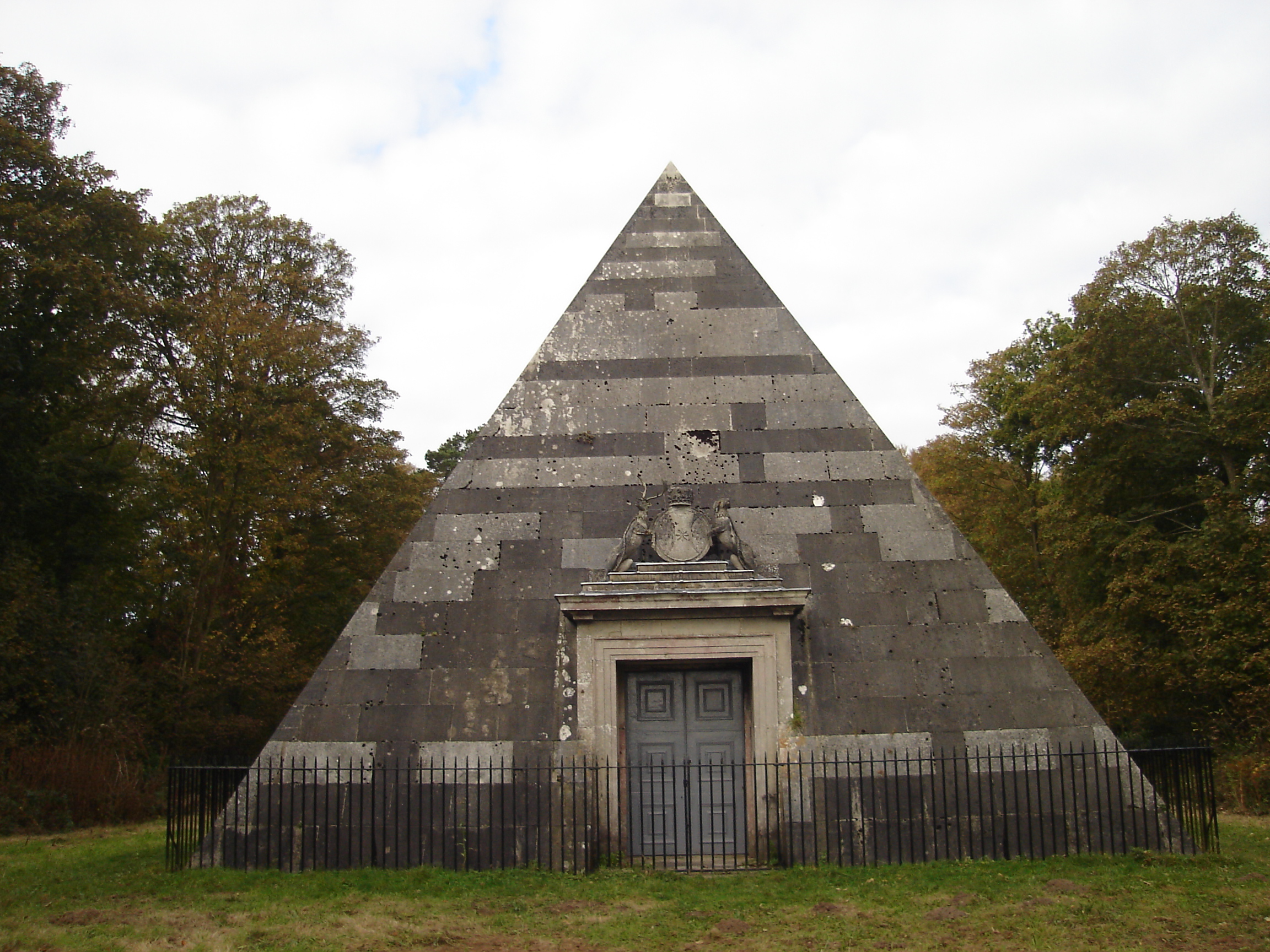
Blickling Park mausoleum
The Blickling Park mausoleum is a Grade II* listed building in the grounds of Blickling Hall, Norfolk, England. It was commissioned in 1793 by Lady Caroline...
Itteringham
Itteringham is a village and civil parish in the English county of Norfolk, some 4+1⁄2 miles (7.2 km) northwest of the market town of Aylsham. It covers...

Erpingham
Erpingham is a village and civil parish in the English county of Norfolk. The village is located 3.1 miles (5.0 km) north of Aylsham and 15 miles (24 km...
Nearby Amenities
Located within 500m of 52.840088,1.215368Have you been to Wolterton?
Leave your review of Wolterton below (or comments, questions and feedback).