Abraham's Bosom Lake
Lake, Pool, Pond, Freshwater Marsh in Norfolk North Norfolk
England
Abraham's Bosom Lake
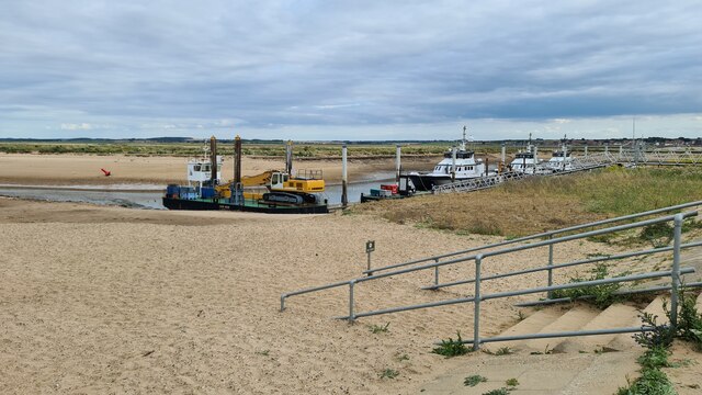
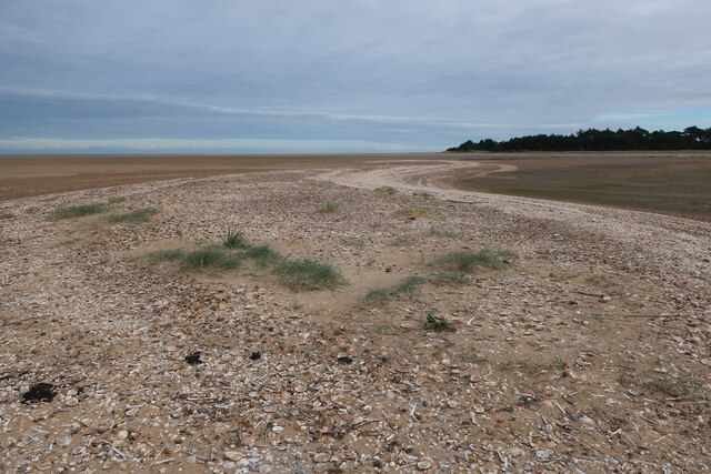
Abraham's Bosom Lake, located in Norfolk, is a picturesque freshwater marsh that offers a diverse and thriving ecosystem. Stretching across an area of approximately 10 acres, the lake is surrounded by lush greenery and is home to a variety of plant and animal species.
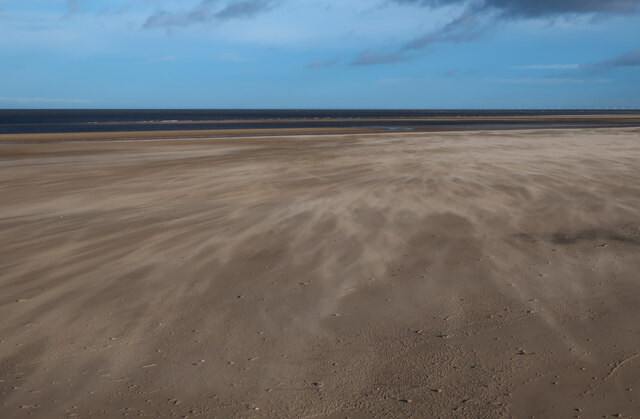
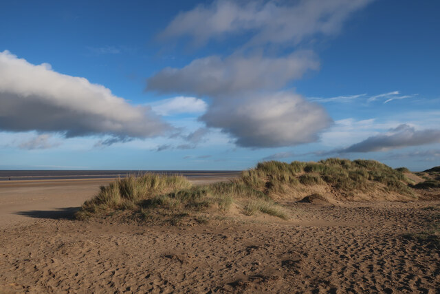
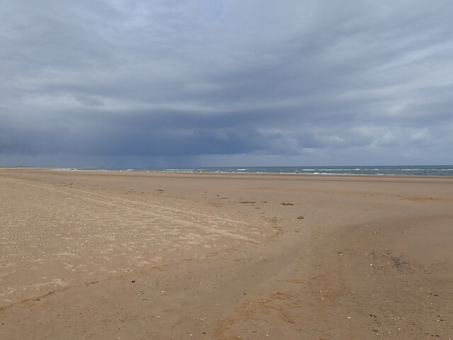
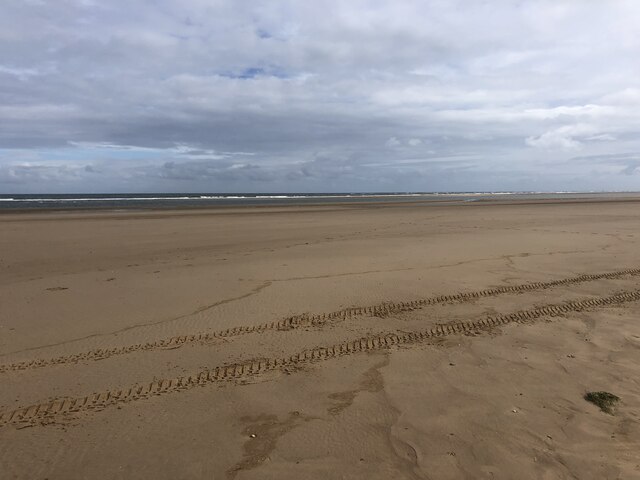
The lake itself is a natural body of water, formed by a combination of surface runoff and underground springs. It has a calm and serene atmosphere, making it an ideal spot for nature enthusiasts and birdwatchers. The still waters of the lake provide a perfect reflection of the surrounding landscape, creating a stunning visual spectacle.
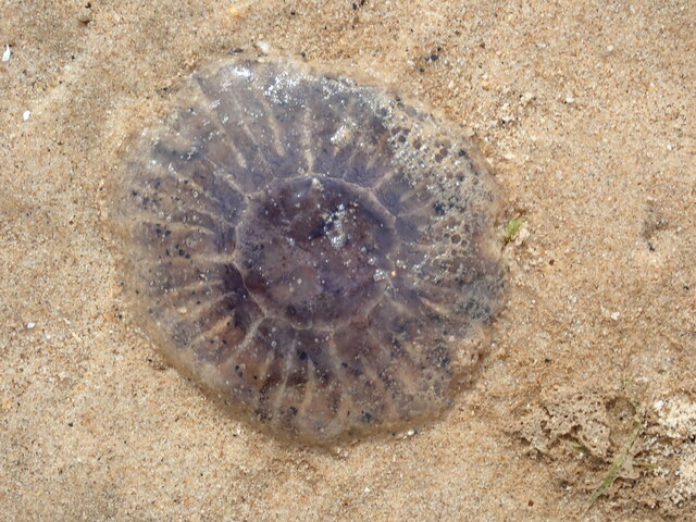
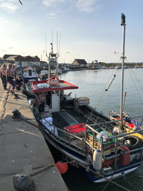
The lake is also known for its abundant wildlife. It serves as a vital habitat for numerous species of birds, including herons, ducks, and swans. These birds can often be seen gracefully gliding across the water or nesting in the nearby reeds. Additionally, the lake is a popular spot for fishing, attracting anglers who seek to catch freshwater fish such as carp and perch.
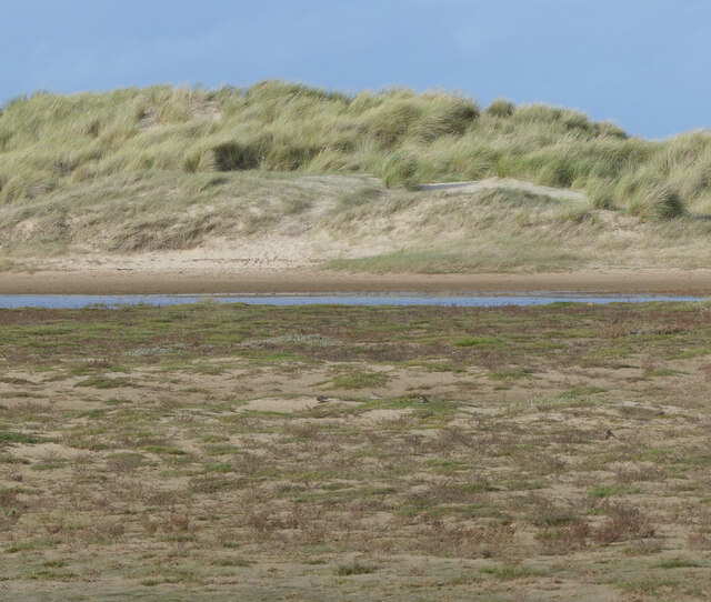
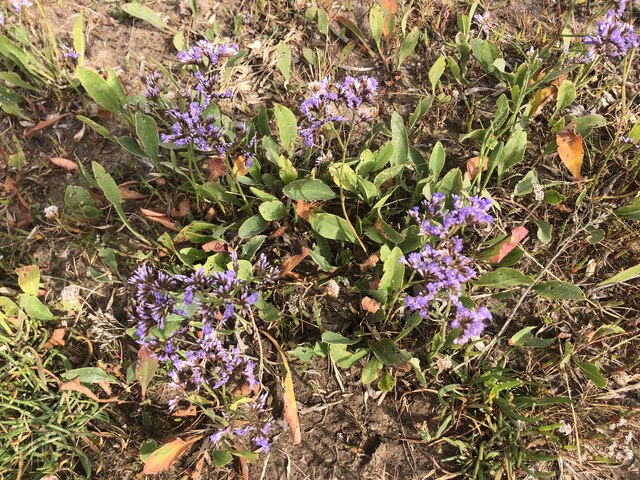
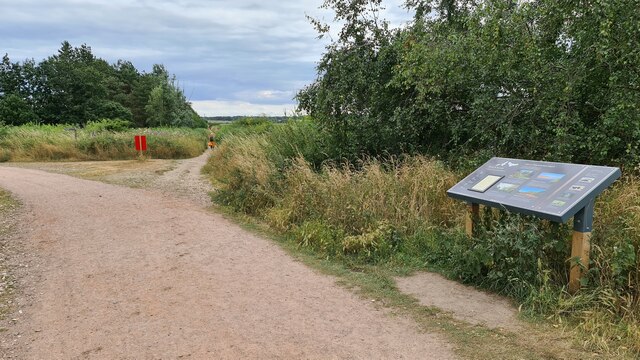
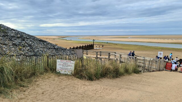
Surrounding the lake is a vibrant freshwater marsh, characterized by its dense vegetation and diverse plant life. The marsh is home to various species of reeds, rushes, and water lilies, providing ample shelter and food for the resident wildlife. Visitors can explore the marsh by walking along the designated trails, which offer scenic views of the lake and its surrounding natural beauty.
Overall, Abraham's Bosom Lake is a haven for nature lovers, offering a tranquil and immersive experience in the heart of Norfolk's countryside. Whether it's birdwatching, fishing, or simply enjoying the serenity of the surroundings, this freshwater marsh is a true gem of the region.
If you have any feedback on the listing, please let us know in the comments section below.
Abraham's Bosom Lake Images
Images are sourced within 2km of 52.971381/0.84594449 or Grid Reference TF9145. Thanks to Geograph Open Source API. All images are credited.

Abraham's Bosom Lake is located at Grid Ref: TF9145 (Lat: 52.971381, Lng: 0.84594449)
Administrative County: Norfolk
District: North Norfolk
Police Authority: Norfolk
What 3 Words
///alas.paddlers.exits. Near Wells-next-the-Sea, Norfolk
Nearby Locations
Related Wikis
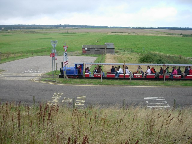
Wells Harbour Railway
The Wells Harbour Railway was a 10+1⁄4 in (260 mm) gauge railway that ran at Wells-next-the-Sea, Norfolk, England. It was 1,200 yards (1,100 m) long, running...

Wells-next-the-Sea Lifeboat Station
Wells-next-the-Sea Lifeboat Station is a lifeboat station in the town of Wells-next-the-Sea in the English county of Norfolk. The station, run by the Royal...

Eliza Adams Lifeboat Memorial
The Eliza Adams Lifeboat Memorial is a grade II listed memorial in Wells-next-the-Sea in Norfolk. It commemorates the death of 11 members of an RNLI lifeboat...

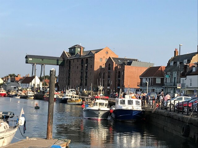
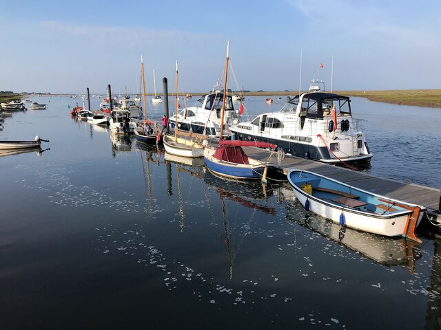
Wells Harbour
Wells Harbour is located in the town of Wells-next-the-Sea in the county of Norfolk, England. The harbour is 21 miles west of Cromer, 34.8 miles north...

Wells-next-the-Sea railway station
Wells-next-the-Sea railway station served the port town of Wells-next-the-Sea in North Norfolk, England. It was opened in 1857 by the Wells & Fakenham...

Holkham National Nature Reserve
Holkham National Nature Reserve is England's largest national nature reserve (NNR). It is on the Norfolk coast between Burnham Overy Staithe and Blakeney...

Holkham railway station
Holkham was a railway station which served the coastal village of Holkham in Norfolk, England. Opened by the West Norfolk Junction railway in 1866, it...

Wells-next-the-Sea
Wells-next-the-Sea is a port town on the north coast of Norfolk, England. The civil parish has an area of 16.31 km2 (6.30 sq mi) and in 2001 had a population...
Nearby Amenities
Located within 500m of 52.971381,0.84594449Have you been to Abraham's Bosom Lake?
Leave your review of Abraham's Bosom Lake below (or comments, questions and feedback).