The Creek Pond
Lake, Pool, Pond, Freshwater Marsh in Kent Swale
England
The Creek Pond

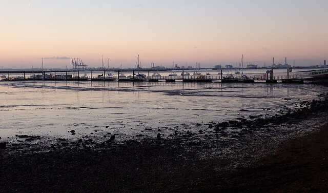
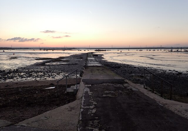
The Creek Pond, located in Kent, is a serene and picturesque body of water that encompasses a variety of aquatic ecosystems, including a lake, pool, pond, and freshwater marsh. Spanning approximately 10 acres, it is situated amidst a lush natural landscape, offering a tranquil retreat for both visitors and local wildlife.
The lake section of The Creek Pond is characterized by its deep, open water and serves as a habitat for various species of fish, such as bass and trout. Its calm surface is often dotted with lily pads and surrounded by tall reeds and grasses that provide shelter and nesting grounds for waterfowl and other water-dwelling organisms.
Adjacent to the lake, the pool area of The Creek Pond is shallower and features a more gentle current. This section is home to a rich diversity of aquatic plants, including submerged and floating species. It serves as a vital spawning ground for amphibians and invertebrates, contributing to the overall ecological balance of the pond.
The pond section of The Creek Pond is slightly smaller in size but boasts a vibrant and thriving ecosystem. It is characterized by its calm waters, abundant vegetation, and a variety of bird species that flock to its shores. Ducks, herons, and kingfishers are common sights, diving into the water to catch small fish or insects.
Finally, the freshwater marsh area of The Creek Pond is a haven for wetland plants, such as cattails and bulrushes, which thrive in the nutrient-rich soils. This section serves as a vital breeding ground for numerous species of birds, amphibians, and insects, offering a diverse array of habitats within the overall ecosystem.
Overall, The Creek Pond in Kent provides a harmonious blend of aquatic environments, supporting a wide range of flora and fauna and offering visitors a chance to experience the beauty and tranquility of nature.
If you have any feedback on the listing, please let us know in the comments section below.
The Creek Pond Images
Images are sourced within 2km of 51.414529/0.74696762 or Grid Reference TQ9171. Thanks to Geograph Open Source API. All images are credited.

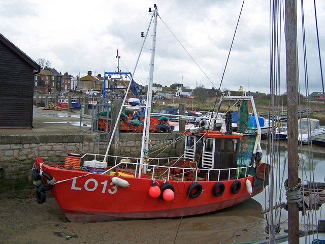
![Sheppey - Queenborough - Lampposts at harbour entrance Lampposts adorn each side of the entrance to the slipway that leads into the harbour at the historic town of Queenborough on the Isle of Sheppey. This entrance is at the western end of the High Street through the small town (popn. 3,407 [2001]) opposite The Old House at Home pub.](https://s1.geograph.org.uk/geophotos/07/39/27/7392717_11249e56.jpg)


The Creek Pond is located at Grid Ref: TQ9171 (Lat: 51.414529, Lng: 0.74696762)
Administrative County: Kent
District: Swale
Police Authority: Kent
What 3 Words
///attaching.drew.tickets. Near Queenborough, Kent
Nearby Locations
Related Wikis
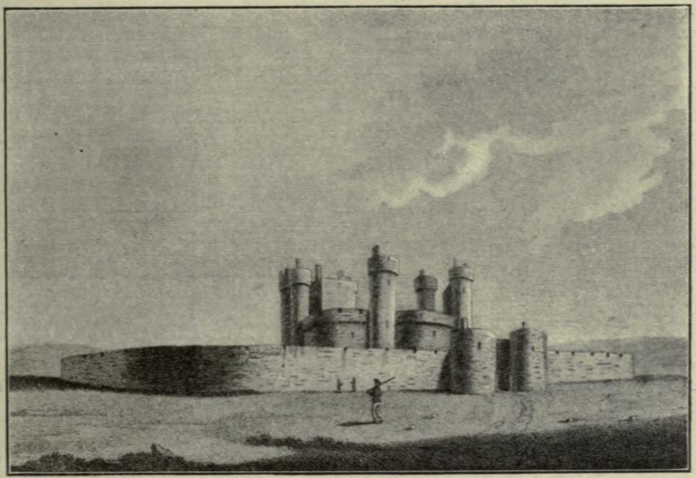
Queenborough Castle
Queenborough Castle, also known as Sheppey Castle, is a 14th-century castle, the remnants of which are in the town of Queenborough on the Isle of Sheppey...
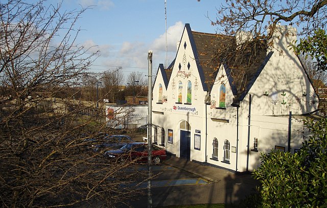
Queenborough railway station
Queenborough railway station is on the Sheerness Line, on the Isle of Sheppey in northern Kent, and serves the town of Queenborough. It is 49 miles 22...

Queenborough Guildhall
Queenborough Guildhall is a former municipal building in the High Street in Queenborough, Kent, England. The structure, which is currently used as a museum...
Queenborough
Queenborough is a town on the Isle of Sheppey in the Swale borough of Kent in South East England. Queenborough is two miles (3 km) south of Sheerness....
Nearby Amenities
Located within 500m of 51.414529,0.74696762Have you been to The Creek Pond?
Leave your review of The Creek Pond below (or comments, questions and feedback).