Barton Mere
Lake, Pool, Pond, Freshwater Marsh in Suffolk West Suffolk
England
Barton Mere
Barton Mere, located in Suffolk, England, is a picturesque freshwater marsh that offers a tranquil and natural setting for visitors to enjoy. Spread over an area of approximately 10 hectares, it is considered one of the largest natural lakes in the region. The mere is surrounded by lush vegetation, including reeds and water lilies, creating a vibrant landscape.
The water in Barton Mere is primarily sourced from rainfall, and it is characterized by its calm and clear nature. The lake is home to a variety of aquatic plants, such as water milfoil and yellow flag iris, which provide habitat and food for numerous species of fish and waterfowl. Visitors can often spot common carp, roach, and perch swimming in the lake's depths.
In addition to its natural beauty, Barton Mere offers recreational activities for visitors. Fishing is a popular pastime, with anglers seeking to catch the abundant fish species that inhabit the lake. The mere is also a haven for birdwatchers, as it attracts a diverse range of avian species throughout the year. Visitors may spot tufted ducks, coots, and even the occasional great crested grebe paddling across the water's surface.
The surrounding area of Barton Mere is a designated nature reserve, ensuring the protection of its unique ecosystem. The reserve provides a habitat for various wildlife, including water voles, otters, and numerous species of insects. Walking trails have been established around the lake, allowing visitors to explore the diverse flora and fauna while enjoying the peaceful ambiance of the area.
Overall, Barton Mere in Suffolk is a natural gem, offering a serene and biodiverse environment for wildlife enthusiasts, anglers, and those seeking a peaceful retreat.
If you have any feedback on the listing, please let us know in the comments section below.
Barton Mere Images
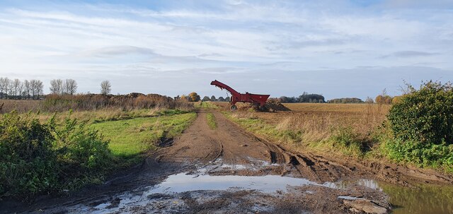
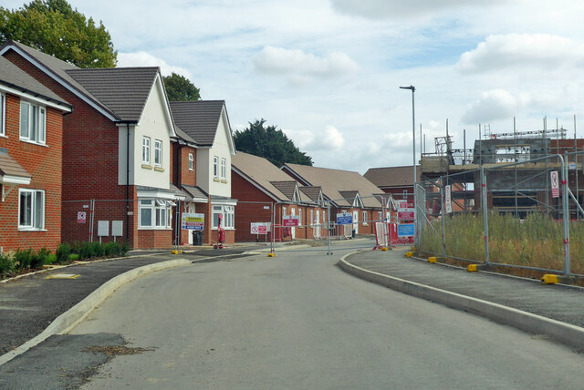
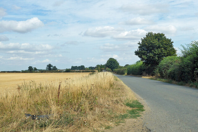
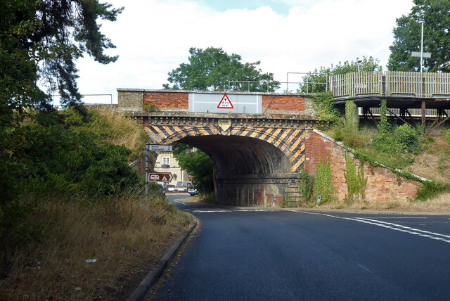
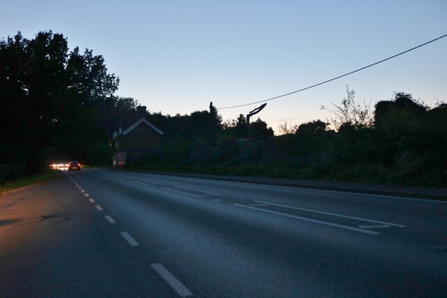
Images are sourced within 2km of 52.265382/0.79797254 or Grid Reference TL9166. Thanks to Geograph Open Source API. All images are credited.


Barton Mere is located at Grid Ref: TL9166 (Lat: 52.265382, Lng: 0.79797254)
Administrative County: Suffolk
District: West Suffolk
Police Authority: Suffolk
What 3 Words
///envoy.treatment.templates. Near Thurston, Suffolk
Nearby Locations
Related Wikis

Thurston Community College
Thurston Community College is a co-educational secondary school and sixth form located in Thurston, Suffolk, England. As of 2018, it has 1,733 students...

Pakenham, Suffolk
Pakenham is a village and civil parish in the West Suffolk district of Suffolk in eastern England. Its name can be linked to Anglo-Saxon roots, Pacca being...

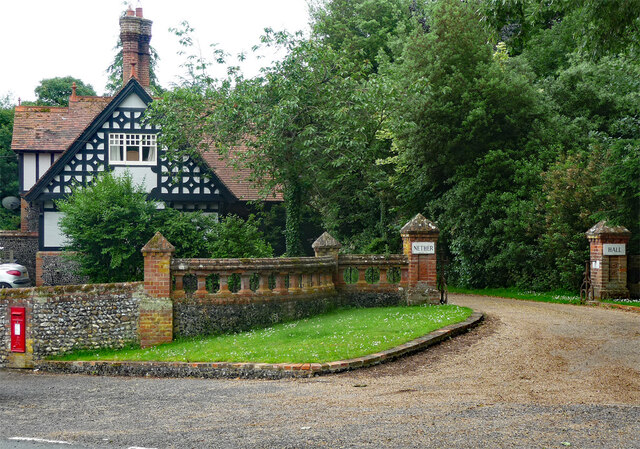
Nether Hall, Suffolk
Nether Hall is a country house situated in the village of Pakenham, Suffolk. It was one of the ancient manors of the village and seat of the Greene baronets...
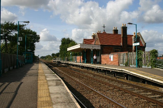
Thurston railway station
Thurston railway station serves the village of Thurston in Suffolk, England. The station, and all trains serving it, are operated by Greater Anglia. It...
Nearby Amenities
Located within 500m of 52.265382,0.79797254Have you been to Barton Mere?
Leave your review of Barton Mere below (or comments, questions and feedback).