The Pool
Sea, Estuary, Creek in Norfolk North Norfolk
England
The Pool
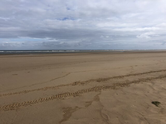
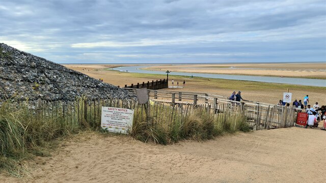
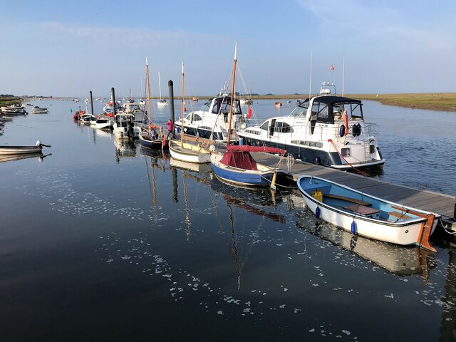
The Pool is a prominent coastal feature located in Norfolk, England. It is comprised of a sea, estuary, and creek, making it a diverse and unique natural environment. The Pool is situated on the eastern coast of England, bordered by the North Sea.
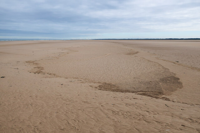
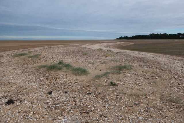
The sea component of The Pool is characterized by its vast expanse of open water, with waves crashing against the shoreline. It offers stunning views of the horizon and is a popular spot for recreational activities such as swimming, surfing, and sailing.
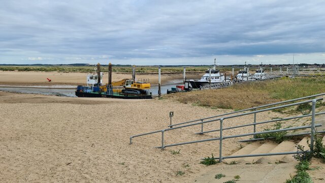
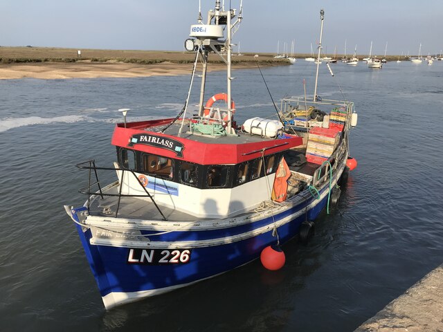
The estuary is an area where the sea merges with a river, creating a brackish water environment. The estuary within The Pool is known for its rich biodiversity. It serves as a vital habitat for numerous species of fish, birds, and other marine life. The estuary is also an important migratory route for birds, making it a popular destination for birdwatchers.
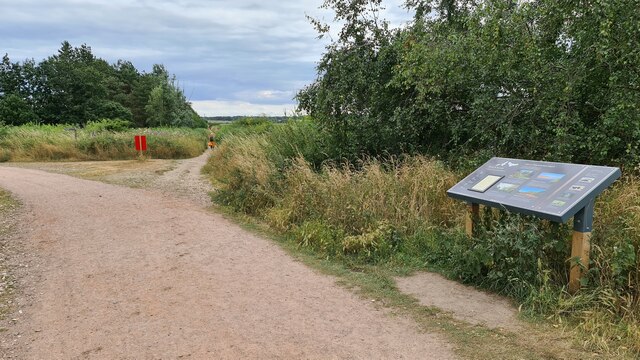
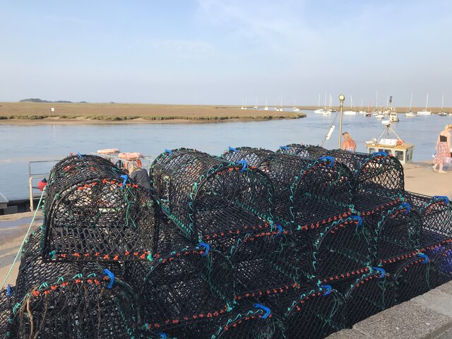
The creek is a narrow, winding waterway that branches off from the estuary. It provides a sheltered habitat for various species and offers a tranquil setting for boating and fishing. The creek within The Pool is surrounded by lush vegetation and is home to several species of plants and animals.
Overall, The Pool in Norfolk is a fascinating natural feature that combines the power of the sea, the diversity of an estuary, and the serenity of a creek. It offers a range of recreational opportunities and serves as an important ecosystem for a wide variety of flora and fauna.
If you have any feedback on the listing, please let us know in the comments section below.
The Pool Images
Images are sourced within 2km of 52.972861/0.85396651 or Grid Reference TF9145. Thanks to Geograph Open Source API. All images are credited.


The Pool is located at Grid Ref: TF9145 (Lat: 52.972861, Lng: 0.85396651)
Administrative County: Norfolk
District: North Norfolk
Police Authority: Norfolk
What 3 Words
///finer.encourage.elevates. Near Wells-next-the-Sea, Norfolk
Nearby Locations
Related Wikis

Wells-next-the-Sea Lifeboat Station
Wells-next-the-Sea Lifeboat Station is a lifeboat station in the town of Wells-next-the-Sea in the English county of Norfolk. The station, run by the Royal...
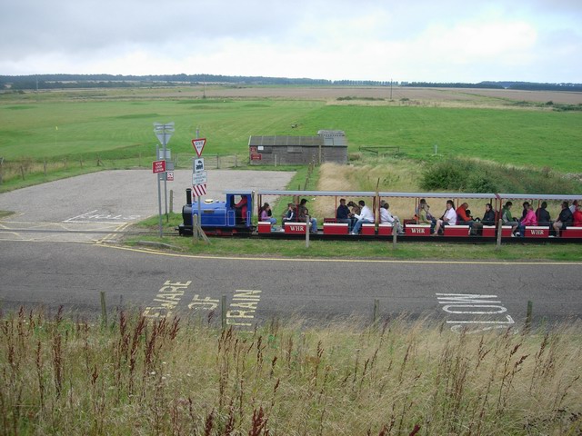
Wells Harbour Railway
The Wells Harbour Railway was a 10+1⁄4 in (260 mm) gauge railway that ran at Wells-next-the-Sea, Norfolk, England. It was 1,200 yards (1,100 m) long, running...

Eliza Adams Lifeboat Memorial
The Eliza Adams Lifeboat Memorial is a grade II listed memorial in Wells-next-the-Sea in Norfolk. It commemorates the death of 11 members of an RNLI lifeboat...

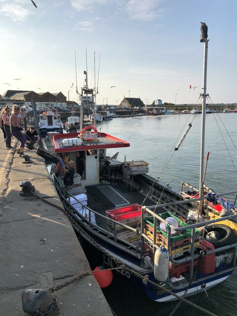
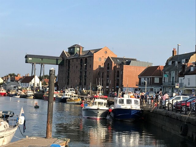
Wells Harbour
Wells Harbour is located in the town of Wells-next-the-Sea in the county of Norfolk, England. The harbour is 21 miles west of Cromer, 34.8 miles north...

Wells-next-the-Sea railway station
Wells-next-the-Sea railway station served the port town of Wells-next-the-Sea in North Norfolk, England. It was opened in 1857 by the Wells & Fakenham...

Wells-next-the-Sea
Wells-next-the-Sea is a port town on the north coast of Norfolk, England. The civil parish has an area of 16.31 km2 (6.30 sq mi) and in 2001 had a population...

Alderman Peel High School
Alderman Peel High School is an academy secondary school in Wells-next-the-Sea, Norfolk, England. == History == === The founder === Sam Peel, who was born...

Wells on Sea railway station
Wells on Sea railway station is located in Wells-next-the-Sea, Norfolk on the narrow gauge Wells and Walsingham Light Railway. It was opened in 1982. It...
Nearby Amenities
Located within 500m of 52.972861,0.85396651Have you been to The Pool?
Leave your review of The Pool below (or comments, questions and feedback).