The Run
Sea, Estuary, Creek in Norfolk North Norfolk
England
The Run
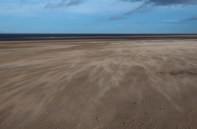
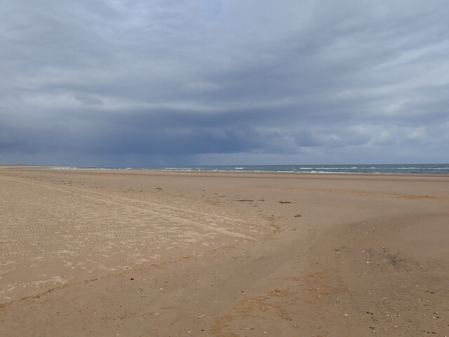
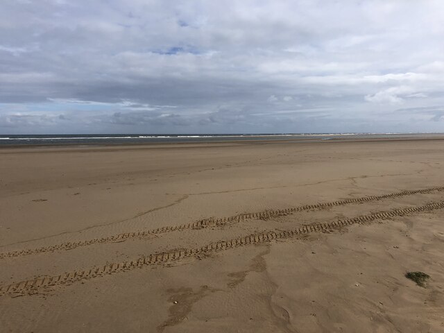
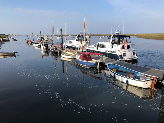
The Run, Norfolk, is a prominent waterway located on the eastern coast of England. It is a tidal channel that stretches from the sea into the Norfolk Broads, a network of lakes and rivers. The Run is an estuary that connects the North Sea to the River Bure, which then flows into the Norfolk Broads. It is also referred to as The Run Creek or simply The Run.
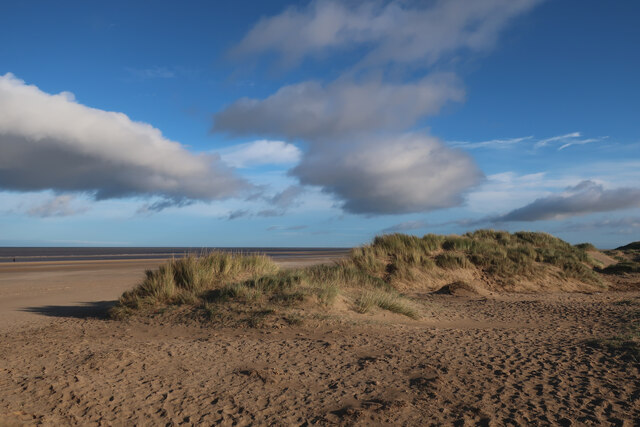
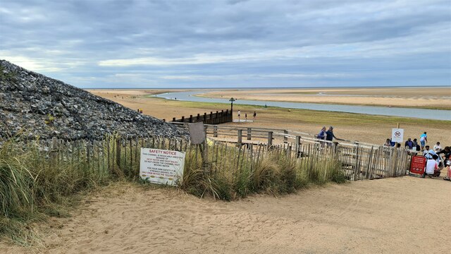
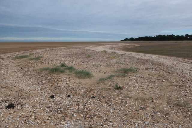
This waterway is characterized by its dynamic tides, which greatly influence the depth and flow of the channel. During high tide, the water surges into The Run, creating a strong current that allows boats to navigate upstream. Conversely, during low tide, the water recedes, revealing mudflats and sandbanks.
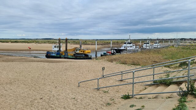
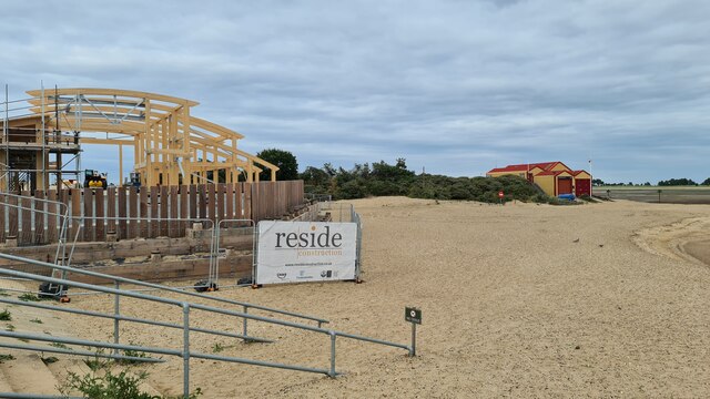
The Run is an important access point for boats and ships entering the Norfolk Broads. Its strategic location provides a direct link to the North Sea, making it a popular route for leisure boats, fishing vessels, and commercial barges carrying goods and supplies.
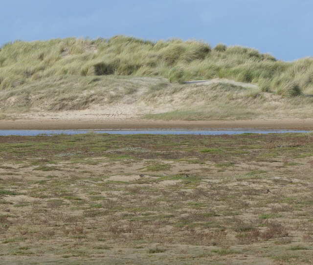
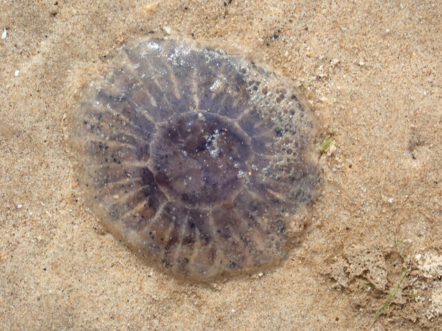
The area surrounding The Run is known for its diverse wildlife and picturesque scenery. The banks are adorned with reeds, grasses, and marshland, providing a habitat for various bird species, such as herons, swans, and ducks. The water is also home to a variety of fish, including pike, perch, and roach, making it a popular spot for anglers.
Overall, The Run, Norfolk, is a vital and scenic waterway that connects the sea to the Norfolk Broads. Its dynamic tides, diverse wildlife, and strategic location make it an essential part of the region's maritime heritage.
If you have any feedback on the listing, please let us know in the comments section below.
The Run Images
Images are sourced within 2km of 52.975547/0.84811026 or Grid Reference TF9145. Thanks to Geograph Open Source API. All images are credited.


The Run is located at Grid Ref: TF9145 (Lat: 52.975547, Lng: 0.84811026)
Administrative County: Norfolk
District: North Norfolk
Police Authority: Norfolk
What 3 Words
///sweetener.crust.swaps. Near Wells-next-the-Sea, Norfolk
Nearby Locations
Related Wikis

Wells-next-the-Sea Lifeboat Station
Wells-next-the-Sea Lifeboat Station is a lifeboat station in the town of Wells-next-the-Sea in the English county of Norfolk. The station, run by the Royal...
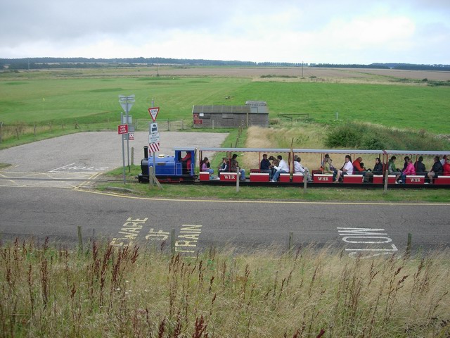
Wells Harbour Railway
The Wells Harbour Railway was a 10+1⁄4 in (260 mm) gauge railway that ran at Wells-next-the-Sea, Norfolk, England. It was 1,200 yards (1,100 m) long, running...

Eliza Adams Lifeboat Memorial
The Eliza Adams Lifeboat Memorial is a grade II listed memorial in Wells-next-the-Sea in Norfolk. It commemorates the death of 11 members of an RNLI lifeboat...

Holkham National Nature Reserve
Holkham National Nature Reserve is England's largest national nature reserve (NNR). It is on the Norfolk coast between Burnham Overy Staithe and Blakeney...
Nearby Amenities
Located within 500m of 52.975547,0.84811026Have you been to The Run?
Leave your review of The Run below (or comments, questions and feedback).