Broad Mere

Lake, Pool, Pond, Freshwater Marsh in Suffolk West Suffolk

England

Broad Mere

Troston, St Mary
Troston, St Mary Credit: Dave Kelly

Broad Mere, located in Suffolk, England, is a picturesque freshwater lake nestled within the tranquil countryside. Spanning an area of approximately 10 acres, this idyllic water body is often referred to as a mere, pool, pond, or freshwater marsh due to its varying characteristics. The exact classification can be subjective, as it exhibits features of all these water formations.

Surrounded by lush vegetation and reed beds, Broad Mere offers a haven for a diverse range of plant and animal species. Its calm, still waters provide an ideal habitat for aquatic plants such as water lilies, reedmace, and various species of pondweed. These plants not only enhance the scenic beauty of the mere but also serve as a crucial source of food and shelter for numerous organisms.

The lake's rich biodiversity extends beyond its flora to include an array of aquatic creatures. Fish species such as perch, pike, roach, and tench thrive in its depths, attracting fishing enthusiasts seeking a peaceful angling experience. Additionally, the lake is a popular nesting and breeding ground for waterfowl, including mallards, coots, moorhens, and swans. Birdwatchers flock to the area to catch glimpses of these feathered residents.

Broad Mere is a cherished recreational spot for locals and tourists alike. Visitors can enjoy leisurely walks along its shores, taking in the serene surroundings and listening to the harmonious sounds of nature. The mere also provides opportunities for boating and canoeing, allowing individuals to explore its depths and appreciate its beauty from a different perspective.

In conclusion, Broad Mere is a captivating water body in Suffolk, encompassing characteristics of a lake, pool, pond, and freshwater marsh. Its diverse ecosystem and scenic allure make it a cherished natural gem for both wildlife and nature enthusiasts seeking solace in the Suffolk countryside.

If you have any feedback on the listing, please let us know in the comments section below.

Broad Mere Images

Images are sourced within 2km of 52.332641/0.78078548 or Grid Reference TL8974. Thanks to Geograph Open Source API. All images are credited.

Troston, St Mary
Troston, St Mary
Troston, St. Mary's Church: Southern aspect
Troston, St. Mary's Church: Late c14th wall painting of St. George and the Dragon 1
Troston, St. Mary's Church: Late c14th wall painting of St. George and the Dragon 2 (detail)
Troston, St. Mary's Church: Late c14th wall painting of St. George and the Dragon 3 (detail)
Troston, St. Mary's Church: Late c14th wall painting of St. George and the Dragon 4 (detail)
Troston, St. Mary's Church: Late c14th wall paintings on the north nave wall
Troston, St. Mary's Church: Late c14th wall painting of The Martyrdom of St. Edmund 1
Troston, St. Mary's Church: Late c14th wall painting of The Martyrdom of St. Edmund 2 (detail)
Troston, St. Mary's Church: Late c14th wall painting of St. Christopher 1
Troston, St. Mary's Church: Late c14th wall painting of St. Christopher (detail)
Troston, St. Mary's Church: Small, crude wall painting of St. George and the Dragon The earliest wall painting (1350-1370).
Troston, St. Mary's Church: Small, crude wall painting of St. George and the Dragon
The earliest wall painting (1350-1370).
Troston, St. Mary's Church: Remains of a late medieval Doom painting over the chancel arch
Troston, St. Mary's Church: Remains of a late medieval Doom painting over the chancel arch The figure of Christ.
Troston, St. Mary's Church: Remains of a late medieval Doom painting over the chancel arch
The figure of Christ.
Troston, St. Mary's Church: The medieval screen
Troston, St. Mary's Church: The Lofft memorial
Troston, St. Mary's Church: The Maddockes memorial
Show me another place!

Broad Mere is located at Grid Ref: TL8974 (Lat: 52.332641, Lng: 0.78078548)

Administrative County: Suffolk

District: West Suffolk

Police Authority: Suffolk

What 3 Words

///warthog.chromatic.either. Near Ixworth, Suffolk

Related Wikis

RAF Honington

Royal Air Force Honington or more simply RAF Honington (IATA: BEQ, ICAO: EGXH) is a Royal Air Force station located 6 mi (9.7 km) south of Thetford near...
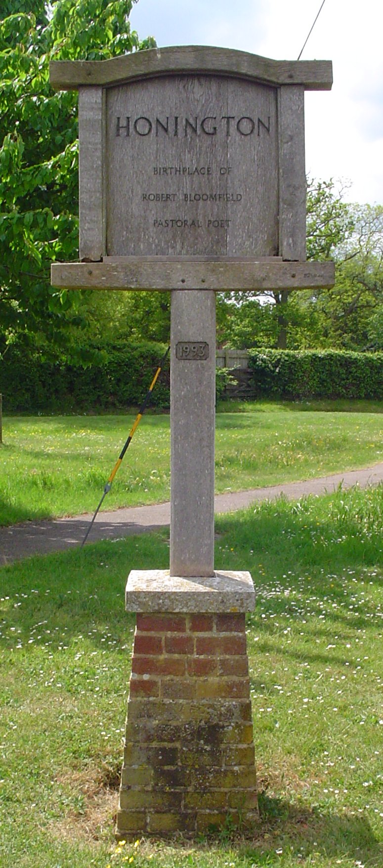
Honington, Suffolk

Honington is a village and civil parish located in Bardwell Ward and Pakenham and Troston Wards of West Suffolk District Council, Suffolk in eastern England...

Troston

Troston is a village and civil parish in Suffolk, England, five miles north-east of Bury St Edmunds. Its parish church contains rare mediaeval wall paintings...

Sapiston

Sapiston is a small village and civil parish in the West Suffolk district of Suffolk in eastern England, located near the Suffolk-Norfolk border. It is...

Ixworth Thorpe

Ixworth Thorpe is a small village and civil parish in the West Suffolk district of the English county of Suffolk. The village is located on the A1088 road...

St Andrew's Church, Sapiston

St Andrew's Church is a redundant Anglican church in the village of Sapiston, Suffolk, England. It is recorded in the National Heritage List for England...

Edward Capell

Edward Capell (11 June 1713 – 24 February 1781) was an English Shakespearian critic. == Biography == He was born at Troston Hall (TL901717) in Suffolk...

Fakenham Magna

Fakenham Magna (or Great Fakenham) is a village and civil parish in the West Suffolk district of Suffolk in eastern England. The meaning of the word 'Fakenham...

Nearby Amenities

Located within 500m of 52.332641,0.78078548
Bus Stop
Harrow Road
Naptan AtcoCode: 390050628
Naptan Bearing: E
Naptan CommonName: Harrow Road
Naptan Indicator: opp
Naptan Landmark: Shelter
Naptan NaptanCode: sufgjdwm
Naptan Street: Green Lane
Shelter: yes
Source: naptan_import;survey
Lat/Long: 52.3318081/0.7864151
Harrow Road
Naptan AtcoCode: 390050629
Naptan Bearing: W
Naptan BusStopType: CUS
Naptan CommonName: Harrow Road
Naptan Indicator: adj
Naptan Landmark: Harrow Road
Naptan NaptanCode: sufgjdwp
Naptan Street: Green Lane
Naptan Verified: no
Source: naptan_import
Lat/Long: 52.331802/0.7862864
Bus Stop
Green Lane
Naptan AtcoCode: 390050630
Naptan Bearing: S
Naptan CommonName: Green Lane
Naptan Indicator: adj
Naptan Landmark: Green Lane
Naptan NaptanCode: sufgjdwt
Naptan Street: Abbottsinch Road
Shelter: yes
Source: naptan_import;survey
Lat/Long: 52.3342442/0.7784392
Abbottsinch Road
Naptan AtcoCode: 390050631
Naptan Bearing: W
Naptan BusStopType: CUS
Naptan CommonName: Abbottsinch Road
Naptan Indicator: opp
Naptan Landmark: Abbottsinch Road
Naptan NaptanCode: sufgjgad
Naptan Street: Green Lane
Naptan Verified: no
Source: naptan_import
Lat/Long: 52.3340522/0.7781923
Mini Roundabout
Direction: clockwise
Lat/Long: 52.3316579/0.786233
Access: private
Barrier: lift_gate
Fixme: access
Lat/Long: 52.3355199/0.7760911
Telephone
Booth: K6
Covered: booth
Lat/Long: 52.3332559/0.7831602
Post Box
Collection Times: Mo-Fr 16:15; Sa 10:30
Post Box Type: wall
Ref: IP31 2251
Royal Cypher: EIIR
Royal Cypher Wikidata: Q33102113
Lat/Long: 52.3336395/0.7795015
Fixme: incomplete
Lat/Long: 52.3314706/0.7785108
Post Office
Honington Camp Post Office
Addr Postcode: IP31 1EG
Addr Street: Green Lane
Atm: yes
Fhrs Id: 1674130
Not Addr Postcode: IP31 1ED
Note: Branch had been closed for a couple of years, but re-opened in February 2018: https://www.buryfreepress.co.uk/news/celebrations-as-honington-post-office-to-reopen-1-8325790
Opening Hours Post Office: Mo-Fr 07:00-21:00; Sa 09:00-21:00; Su 10:00-17:00
Ref Pol Id: 1170
Shop: convenience
Source Addr: FSA Food Hygiene Ratings Database
Source Addr Postcode: code-point_open
Source Opening Hours Post Office: pol_branch_list_2018-02
Lat/Long: 52.3336084/0.7795478
Fast Food
Jifnu Chinese Take-Away
Addr Housenumber: 2
Addr Postcode: IP31 1EG
Addr Street: Green Lane
Cuisine: chinese
Fhrs Id: 1674746
Not Addr Postcode: IP31 1ED
Source Addr: FSA Food Hygiene Ratings Database
Source Addr Postcode: code-point_open
Lat/Long: 52.3336297/0.7796363
Post Box
Post Box Type: pillar
Lat/Long: 52.3352795/0.7762036
Telephone
Booth: K6
Covered: booth
Lat/Long: 52.3352566/0.7761794
Barrier: yes
Fixme: type of barrier and access
Lat/Long: 52.3312006/0.7857104
Barrier: yes
Fixme: type of barrier and access
Lat/Long: 52.3312808/0.7856412
Power: pole
Lat/Long: 52.3340943/0.786307
Defibrillator
Defibrillator Location: outside gatehouse to RAF Honington
Emergency: defibrillator
Indoor: no
Lat/Long: 52.3351837/0.7760612
The data included in this document is from www.openstreetmap.org. The data is made available under ODbL.

Have you been to Broad Mere?

Leave your review of Broad Mere below (or comments, questions and feedback).