Troston Mount

Heritage Site in Suffolk

England

Troston Mount

Honington Ford Alas, another picture snapped through the windscreen of a car, albeit a stationary one.
Stopped momentarily to capture this before climbing out of the ford just SE of Honington village.
Honington Ford Credit: Ian M

Troston Mount is a historic heritage site located in the county of Suffolk, England. Situated on a small hill near the village of Troston, it holds significant archaeological and historical importance. The site consists of the remains of a motte-and-bailey castle, which was built during the Norman period in the 11th century.

The motte, which is the central mound, is the most prominent feature of Troston Mount. It stands approximately 15 meters high and is surrounded by a deep ditch. The bailey, an enclosed courtyard, lies to the east of the motte. Although now mostly leveled, the bailey would have contained various structures such as wooden buildings and defensive walls.

The castle at Troston Mount was likely constructed by Hugh de Montfort, a Norman lord, following the Norman Conquest of England in 1066. It would have served as a fortified residence and a symbol of power and authority. The site's strategic location provided excellent views of the surrounding countryside, allowing the castle's occupants to monitor and control the area.

Over the centuries, Troston Mount underwent various modifications and changes. The castle was likely abandoned in the 14th century, and by the 16th century, it had fallen into ruin. Today, the site is a scheduled monument and is managed by English Heritage. It offers visitors the opportunity to explore the remains of the castle, including the motte and traces of the bailey. The commanding views from the top of the motte provide a glimpse into the castle's historical significance and its role in the landscape of Suffolk.

If you have any feedback on the listing, please let us know in the comments section below.

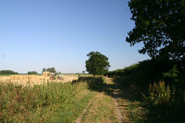
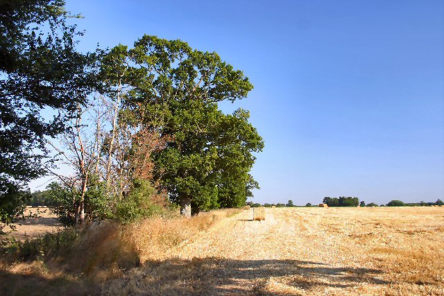
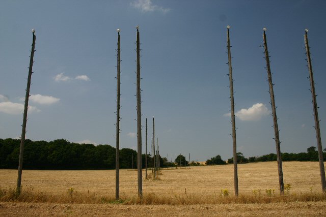
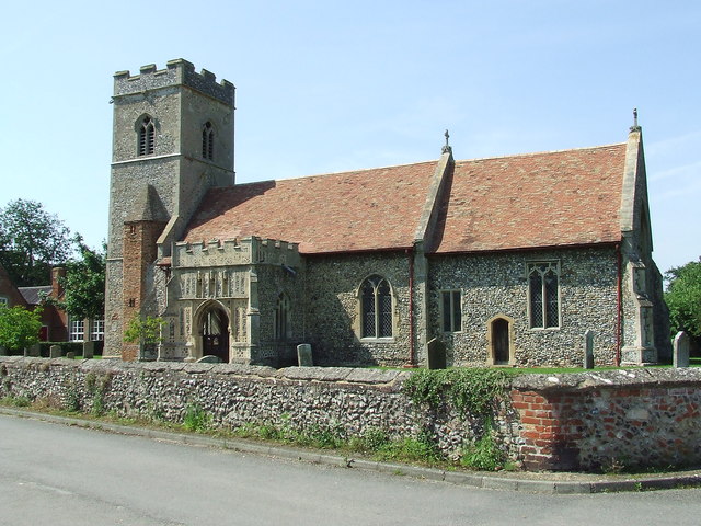
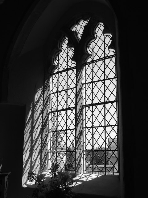
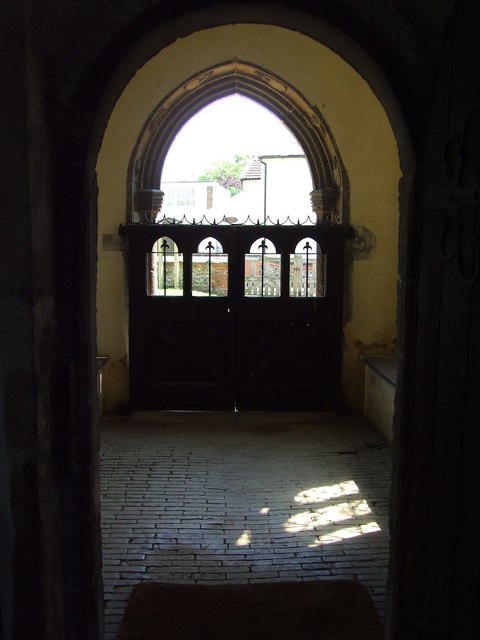
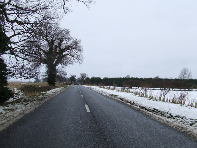
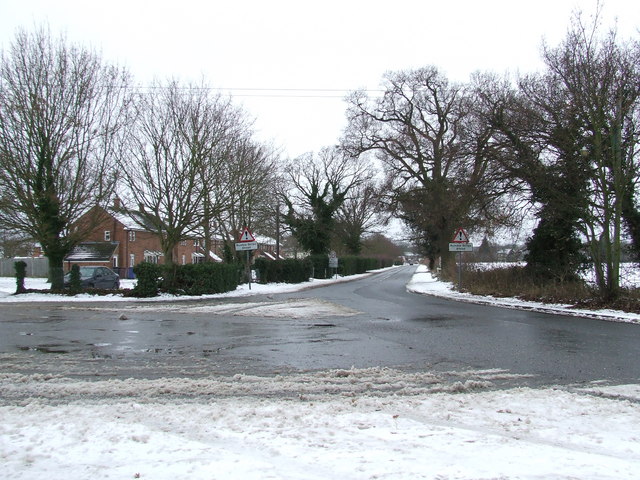
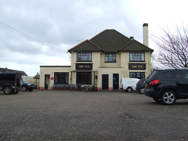
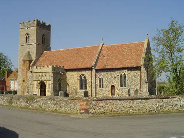
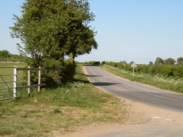
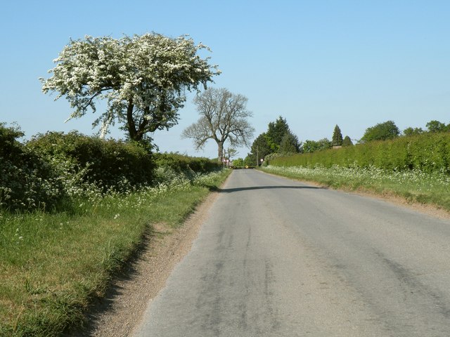
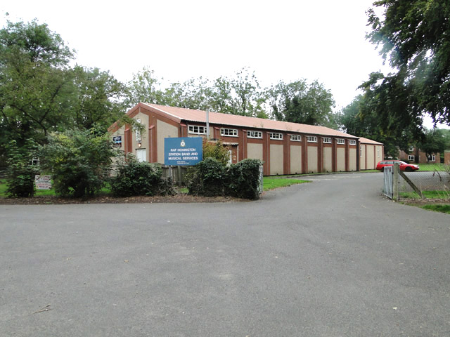
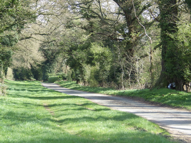
Troston Mount Images

Images are sourced within 2km of 52.335/0.782 or Grid Reference TL8974. Thanks to Geograph Open Source API. All images are credited.

Honington Ford Alas, another picture snapped through the windscreen of a car, albeit a stationary one.
Stopped momentarily to capture this before climbing out of the ford just SE of Honington village.
Honington Ford
Alas, another picture snapped through the windscreen of a car, albeit a stationary one. Stopped momentarily to capture this before climbing out of the ford just SE of Honington village.
Byway to Ixworth Thorpe This track is known as Brand Lane and leads south-east from the airbase at RAF Honington.
Byway to Ixworth Thorpe
This track is known as Brand Lane and leads south-east from the airbase at RAF Honington.
Harvest time at Honington This field is just west of the village of Honington.
Harvest time at Honington
This field is just west of the village of Honington.
Landing lights Marking the approach to RAF Honington (which is no longer used by fixed-wing aircraft).
Landing lights
Marking the approach to RAF Honington (which is no longer used by fixed-wing aircraft).
Honington Church All Saints' Church is in the centre of the village of Honington, over a mile away from the RAF base of the same name.
Honington Church
All Saints' Church is in the centre of the village of Honington, over a mile away from the RAF base of the same name.
All Saints Honington The church of All Saints Honington Suffolk. For more info see <span class="nowrap"><a title="http://www.suffolkchurches.co.uk/honington.htm" rel="nofollow ugc noopener" href="http://www.suffolkchurches.co.uk/honington.htm">Link</a><img style="margin-left:2px;" alt="External link" title="External link - shift click to open in new window" src="https://s1.geograph.org.uk/img/external.png" width="10" height="10"/></span>
All Saints Honington
The church of All Saints Honington Suffolk. For more info see LinkExternal link
Church window Church window of All Saints Honington Suffolk. For view of the church see <a title="https://www.geograph.org.uk/photo/836474" href="https://www.geograph.org.uk/photo/836474">Link</a>
Church window
Church window of All Saints Honington Suffolk. For view of the church see Link
View of the porch View of the porch of All Saints church Honington Suffolk. For photo of the church see <a title="https://www.geograph.org.uk/photo/836474" href="https://www.geograph.org.uk/photo/836474">Link</a>
View of the porch
View of the porch of All Saints church Honington Suffolk. For photo of the church see Link
Shadows on the floor Shadows on the floor of the porch of All Saints Honington Suffolk. For full view of the church see <a title="https://www.geograph.org.uk/photo/836474" href="https://www.geograph.org.uk/photo/836474">Link</a>
Shadows on the floor
Shadows on the floor of the porch of All Saints Honington Suffolk. For full view of the church see Link
Troston Road Looking south west along Troston Road near to Honington, Suffolk.
Troston Road
Looking south west along Troston Road near to Honington, Suffolk.
R.A.F. Honington Entering R.A.F. Honington, Suffolk.
R.A.F. Honington
Entering R.A.F. Honington, Suffolk.
The Fox The Fox public house Honington, Suffolk.
The Fox
The Fox public house Honington, Suffolk.
Honington All Saints church The church sits facing the road, as if inviting you to enter. On passing through the 15th c. embattled porch and beneath the niches above the entrance, you come across the richly carved Norman doorway with four engaged columns, one with knops. The archway has three carved orders and carved dripstones. Above the arch, the keystone is also carved but unrecognisable, possibly a face. The chancel arch is also the Norman-built original. The font is the most impressive item to see here, with fine carvings on the eight facets of the bowl, one depicting the crucifixion. The bench-ends (although of meagre quality) have carvings of a monkey, a woman playing bagpipes and a unicorn scratching his back with his horn. A late 16th c. brass depicts George Duke (1594) in Elizabethan dress.
Honington All Saints church
The church sits facing the road, as if inviting you to enter. On passing through the 15th c. embattled porch and beneath the niches above the entrance, you come across the richly carved Norman doorway with four engaged columns, one with knops. The archway has three carved orders and carved dripstones. Above the arch, the keystone is also carved but unrecognisable, possibly a face. The chancel arch is also the Norman-built original. The font is the most impressive item to see here, with fine carvings on the eight facets of the bowl, one depicting the crucifixion. The bench-ends (although of meagre quality) have carvings of a monkey, a woman playing bagpipes and a unicorn scratching his back with his horn. A late 16th c. brass depicts George Duke (1594) in Elizabethan dress.
Part of New Road, heading towards Honington
New Road, close to RAF Honington
RAF Honington Rainbow over a hangar
RAF Honington
Rainbow over a hangar
St Edmund's church, Honington The church was built especially for the use of servicemen and women based at RAF Honington.
St Edmund's church, Honington
The church was built especially for the use of servicemen and women based at RAF Honington.
Heath Road, leading to Troston Heath Cottages
Show me another place!

Troston Mount is located at Grid Ref: TL8974 (Lat: 52.335, Lng: 0.782)

Police Authority: Suffolk

What 3 Words

///beakers.bagels.pinch. Near Ixworth, Suffolk

Related Wikis

RAF Honington

Royal Air Force Honington or more simply RAF Honington (IATA: BEQ, ICAO: EGXH) is a Royal Air Force station located 6 mi (9.7 km) south of Thetford near...
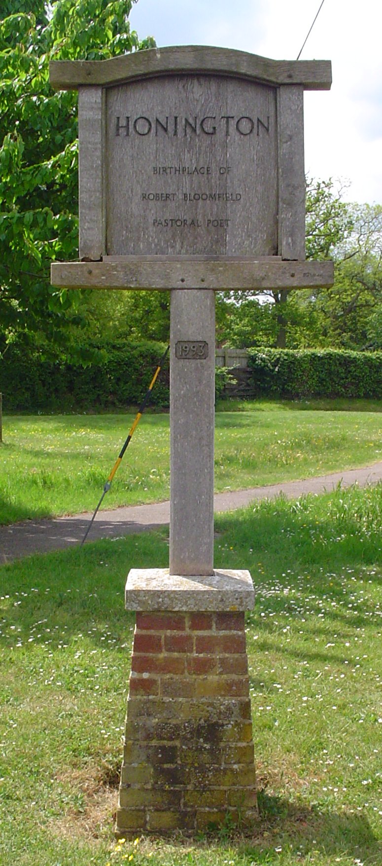
Honington, Suffolk

Honington is a village and civil parish located in Bardwell Ward and Pakenham and Troston Wards of West Suffolk District Council, Suffolk in eastern England...

Sapiston

Sapiston is a small village and civil parish in the West Suffolk district of Suffolk in eastern England, located near the Suffolk-Norfolk border. It is...
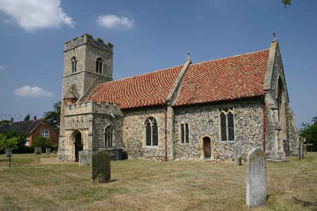
Troston

Troston is a village and civil parish in Suffolk, England, five miles north-east of Bury St Edmunds. Its parish church contains rare mediaeval wall paintings...

St Andrew's Church, Sapiston

St Andrew's Church is a redundant Anglican church in the village of Sapiston, Suffolk, England. It is recorded in the National Heritage List for England...

Ixworth Thorpe

Ixworth Thorpe is a small village and civil parish in the West Suffolk district of the English county of Suffolk. The village is located on the A1088 road...

Fakenham Magna

Fakenham Magna (or Great Fakenham) is a village and civil parish in the West Suffolk district of Suffolk in eastern England. The meaning of the word 'Fakenham...

Edward Capell

Edward Capell (11 June 1713 – 24 February 1781) was an English Shakespearian critic. == Biography == He was born at Troston Hall (TL901717) in Suffolk...

Nearby Amenities

Located within 500m of 52.335,0.782
Bus Stop
Harrow Road
Naptan AtcoCode: 390050628
Naptan Bearing: E
Naptan CommonName: Harrow Road
Naptan Indicator: opp
Naptan Landmark: Shelter
Naptan NaptanCode: sufgjdwm
Naptan Street: Green Lane
Shelter: yes
Source: naptan_import;survey
Lat/Long: 52.3318081/0.7864151
Harrow Road
Naptan AtcoCode: 390050629
Naptan Bearing: W
Naptan BusStopType: CUS
Naptan CommonName: Harrow Road
Naptan Indicator: adj
Naptan Landmark: Harrow Road
Naptan NaptanCode: sufgjdwp
Naptan Street: Green Lane
Naptan Verified: no
Source: naptan_import
Lat/Long: 52.331802/0.7862864
Bus Stop
Green Lane
Naptan AtcoCode: 390050630
Naptan Bearing: S
Naptan CommonName: Green Lane
Naptan Indicator: adj
Naptan Landmark: Green Lane
Naptan NaptanCode: sufgjdwt
Naptan Street: Abbottsinch Road
Shelter: yes
Source: naptan_import;survey
Lat/Long: 52.3342442/0.7784392
Abbottsinch Road
Naptan AtcoCode: 390050631
Naptan Bearing: W
Naptan BusStopType: CUS
Naptan CommonName: Abbottsinch Road
Naptan Indicator: opp
Naptan Landmark: Abbottsinch Road
Naptan NaptanCode: sufgjgad
Naptan Street: Green Lane
Naptan Verified: no
Source: naptan_import
Lat/Long: 52.3340522/0.7781923
Mini Roundabout
Direction: clockwise
Lat/Long: 52.3316579/0.786233
Access: private
Barrier: lift_gate
Fixme: access
Lat/Long: 52.3355199/0.7760911
Telephone
Booth: K6
Covered: booth
Lat/Long: 52.3332559/0.7831602
Post Box
Collection Times: Mo-Fr 16:15; Sa 10:30
Post Box Type: wall
Ref: IP31 2251
Royal Cypher: EIIR
Royal Cypher Wikidata: Q33102113
Lat/Long: 52.3336395/0.7795015
Fixme: incomplete
Lat/Long: 52.3314706/0.7785108
Post Office
Honington Camp Post Office
Addr Postcode: IP31 1EG
Addr Street: Green Lane
Atm: yes
Fhrs Id: 1674130
Not Addr Postcode: IP31 1ED
Note: Branch had been closed for a couple of years, but re-opened in February 2018: https://www.buryfreepress.co.uk/news/celebrations-as-honington-post-office-to-reopen-1-8325790
Opening Hours Post Office: Mo-Fr 07:00-21:00; Sa 09:00-21:00; Su 10:00-17:00
Ref Pol Id: 1170
Shop: convenience
Source Addr: FSA Food Hygiene Ratings Database
Source Addr Postcode: code-point_open
Source Opening Hours Post Office: pol_branch_list_2018-02
Lat/Long: 52.3336084/0.7795478
Fast Food
Jifnu Chinese Take-Away
Addr Housenumber: 2
Addr Postcode: IP31 1EG
Addr Street: Green Lane
Cuisine: chinese
Fhrs Id: 1674746
Not Addr Postcode: IP31 1ED
Source Addr: FSA Food Hygiene Ratings Database
Source Addr Postcode: code-point_open
Lat/Long: 52.3336297/0.7796363
Post Box
Post Box Type: pillar
Lat/Long: 52.3352795/0.7762036
Telephone
Booth: K6
Covered: booth
Lat/Long: 52.3352566/0.7761794
Barrier: yes
Fixme: type of barrier and access
Lat/Long: 52.3312006/0.7857104
Barrier: yes
Fixme: type of barrier and access
Lat/Long: 52.3312808/0.7856412
Power: pole
Lat/Long: 52.3384964/0.7834572
Power: pole
Lat/Long: 52.3385636/0.7851778
Power: pole
Lat/Long: 52.3340943/0.786307
Power: pole
Lat/Long: 52.3350703/0.7873195
Power: pole
Lat/Long: 52.336188/0.7884917
Defibrillator
Defibrillator Location: outside gatehouse to RAF Honington
Emergency: defibrillator
Indoor: no
Lat/Long: 52.3351837/0.7760612
The data included in this document is from www.openstreetmap.org. The data is made available under ODbL.

Have you been to Troston Mount ?

Leave your review of Troston Mount below (or comments, questions and feedback).