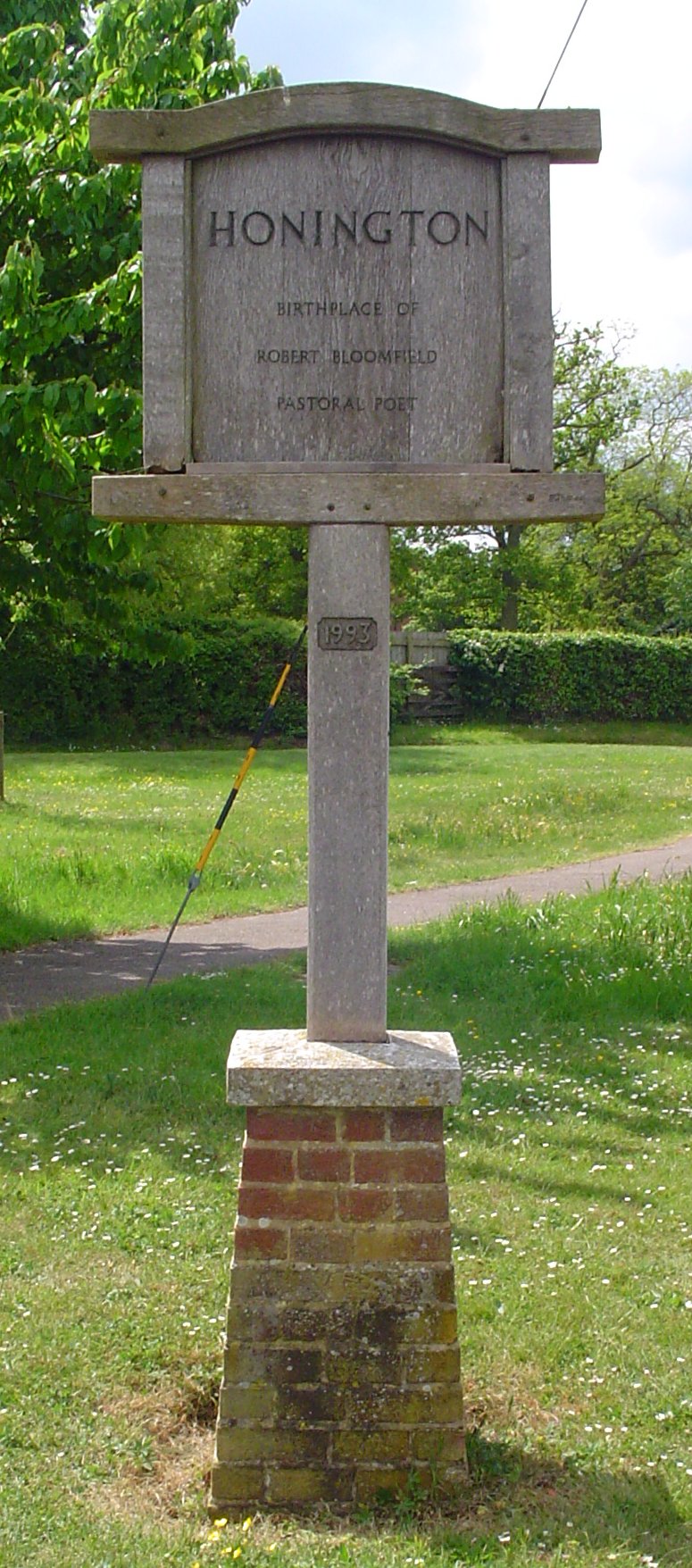
Honington
Civil Parish in Suffolk St Edmundsbury
England
Honington
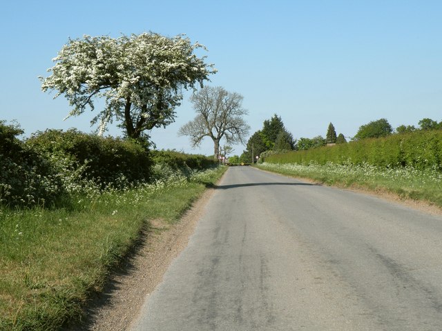
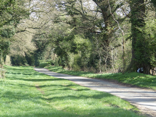
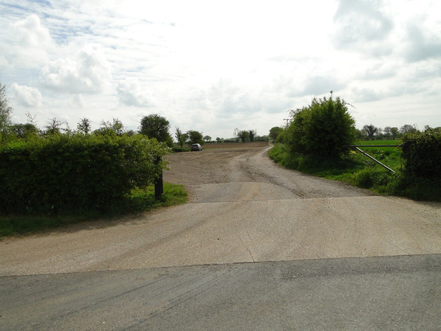
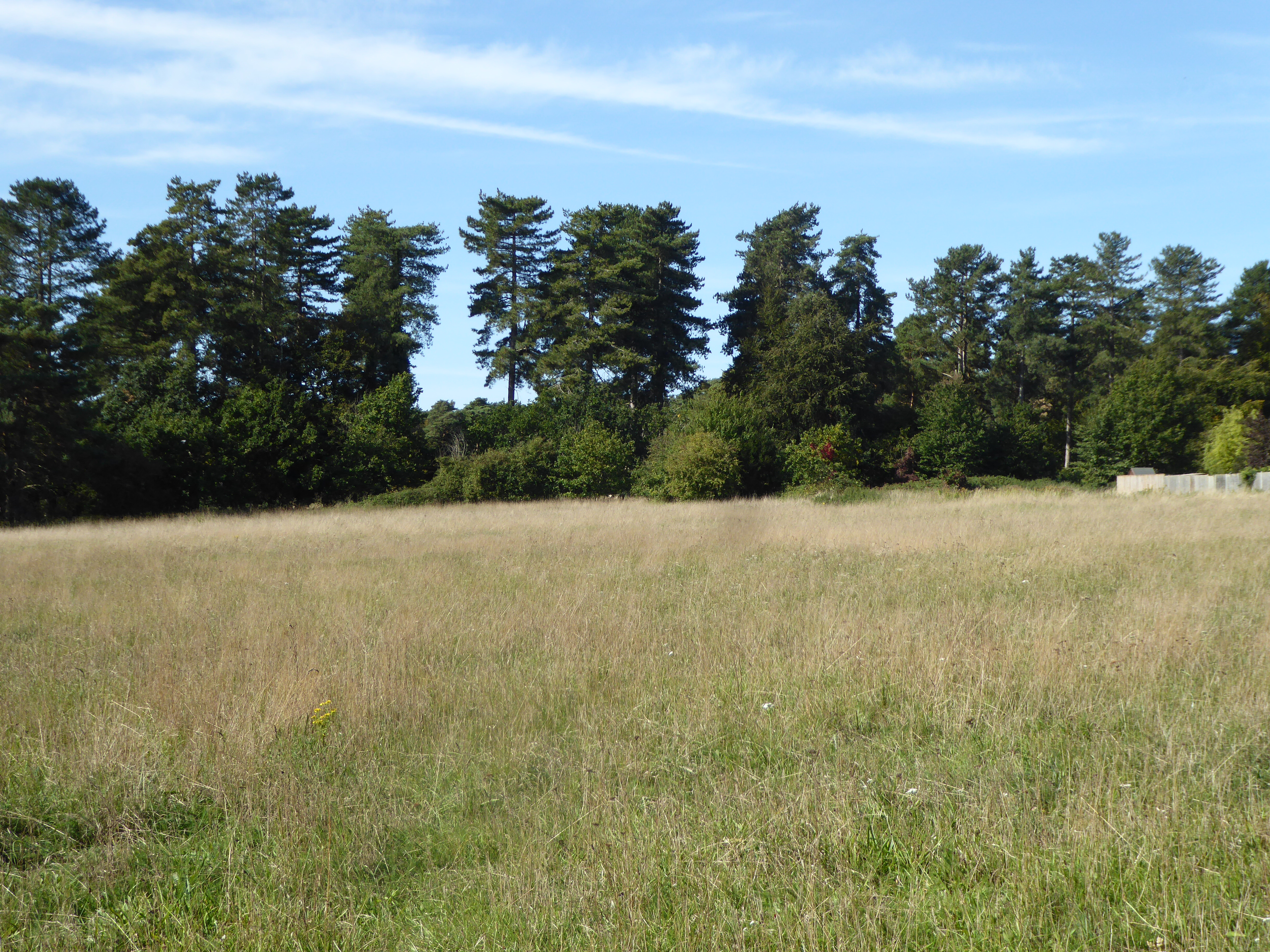
Honington is a civil parish located in the county of Suffolk, England. Situated approximately 10 miles southeast of the town of Bury St Edmunds, Honington covers an area of around 10 square miles. The parish is surrounded by picturesque countryside and is bordered by the parishes of Sapiston, Great Livermere, Ingham, Stanton, and Ixworth.
The village of Honington itself is a small and charming settlement with a population of around 500 residents. It is known for its close-knit community and tranquil atmosphere. The village features a historic church, St. Andrew's Church, which dates back to the 14th century and is a prominent architectural landmark in the area.
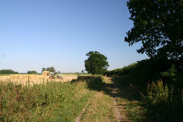
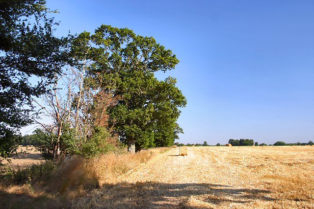
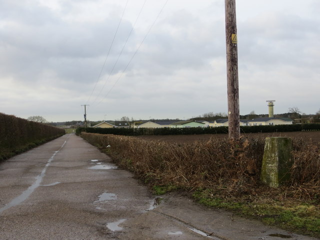
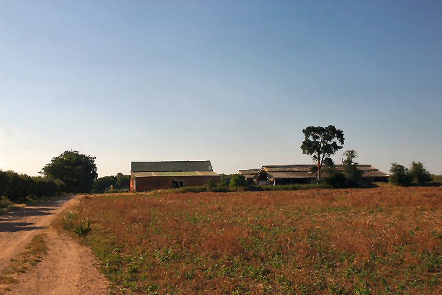
The economy of Honington primarily revolves around agriculture, with many residents engaged in farming and related activities. The landscape surrounding the village is dominated by fields and farmland, contributing to the area's rural character.
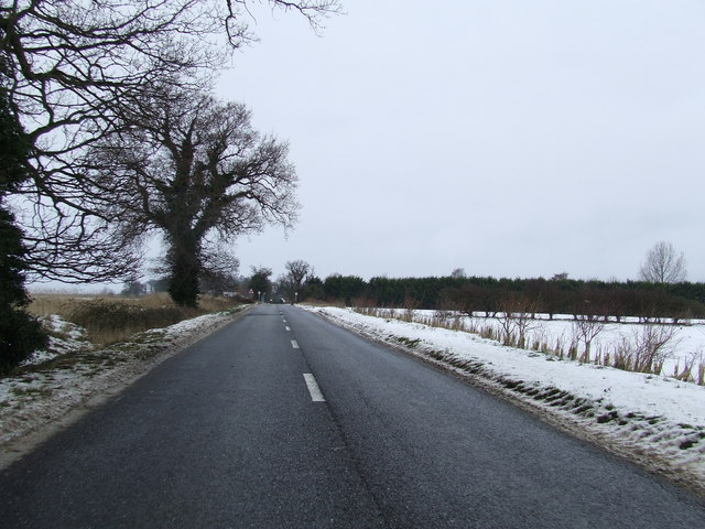
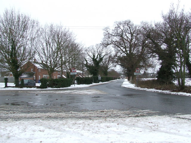
Honington is well-connected to other parts of Suffolk and beyond by road. The A1088 road passes through the parish, providing convenient access to nearby towns and cities. The village also benefits from a regular bus service, connecting it to Bury St Edmunds and other local destinations.
In terms of amenities, Honington boasts a village hall, which serves as a hub for community events and gatherings. There is also a primary school, Honington Church of England Primary Academy, providing education to local children.
Overall, Honington, Suffolk is a peaceful and idyllic civil parish that offers a tranquil countryside lifestyle, a strong sense of community, and a close connection to the surrounding natural beauty of Suffolk.
If you have any feedback on the listing, please let us know in the comments section below.
Honington Images
Images are sourced within 2km of 52.339293/0.773173 or Grid Reference TL8974. Thanks to Geograph Open Source API. All images are credited.


Honington is located at Grid Ref: TL8974 (Lat: 52.339293, Lng: 0.773173)
Administrative County: Suffolk
District: St Edmundsbury
Police Authority: Suffolk
What 3 Words
///identity.thrones.graph. Near Ixworth, Suffolk
Nearby Locations
Related Wikis

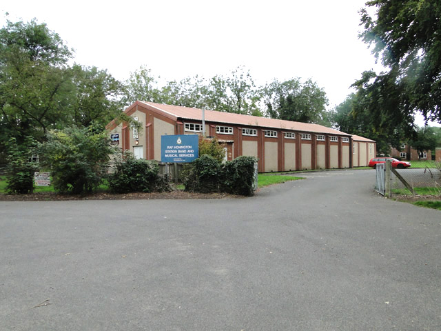
RAF Honington
Royal Air Force Honington or more simply RAF Honington (IATA: BEQ, ICAO: EGXH) is a Royal Air Force station located 6 mi (9.7 km) south of Thetford near...
Honington, Suffolk
Honington is a village and civil parish located in Bardwell Ward and Pakenham and Troston Wards of West Suffolk District Council, Suffolk in eastern England...

Sapiston
Sapiston is a small village and civil parish in the West Suffolk district of Suffolk in eastern England, located near the Suffolk-Norfolk border. It is...

Fakenham Magna
Fakenham Magna (or Great Fakenham) is a village and civil parish in the West Suffolk district of Suffolk in eastern England. The meaning of the word 'Fakenham...
Elm Road Field, Thetford
Elm Road Field, Thetford is a 5-hectare (12-acre) biological Site of Special Scientific Interest on the southern outskirts of Thetford in Norfolk.This...

Troston
Troston is a village and civil parish in Suffolk, England, five miles north-east of Bury St Edmunds. Its parish church contains rare mediaeval wall paintings...

St Andrew's Church, Sapiston
St Andrew's Church is a redundant Anglican church in the village of Sapiston, Suffolk, England. It is recorded in the National Heritage List for England...

Ixworth Thorpe
Ixworth Thorpe is a small village and civil parish in the West Suffolk district of the English county of Suffolk. The village is located on the A1088 road...
Related Videos

RAF Honington Airshow. June 1992
Shot on an early VHS camcorder by my brother, this was his edit of the show as he did it then via 3 VHS recorders. A real nostalgic ...

Dc Designs F-4 Phantom taking off from RAF Honington #msfs2020 #jets #raf #warbirds
DCDesignsMSFS hope you enjoy this as much as I did making it.
Nearby Amenities
Located within 500m of 52.339293,0.773173Have you been to Honington?
Leave your review of Honington below (or comments, questions and feedback).