Broad Water
Lake, Pool, Pond, Freshwater Marsh in Suffolk West Suffolk
England
Broad Water
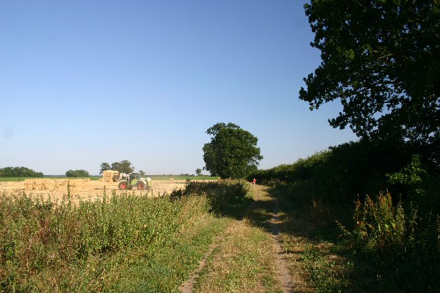
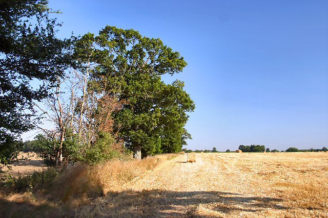
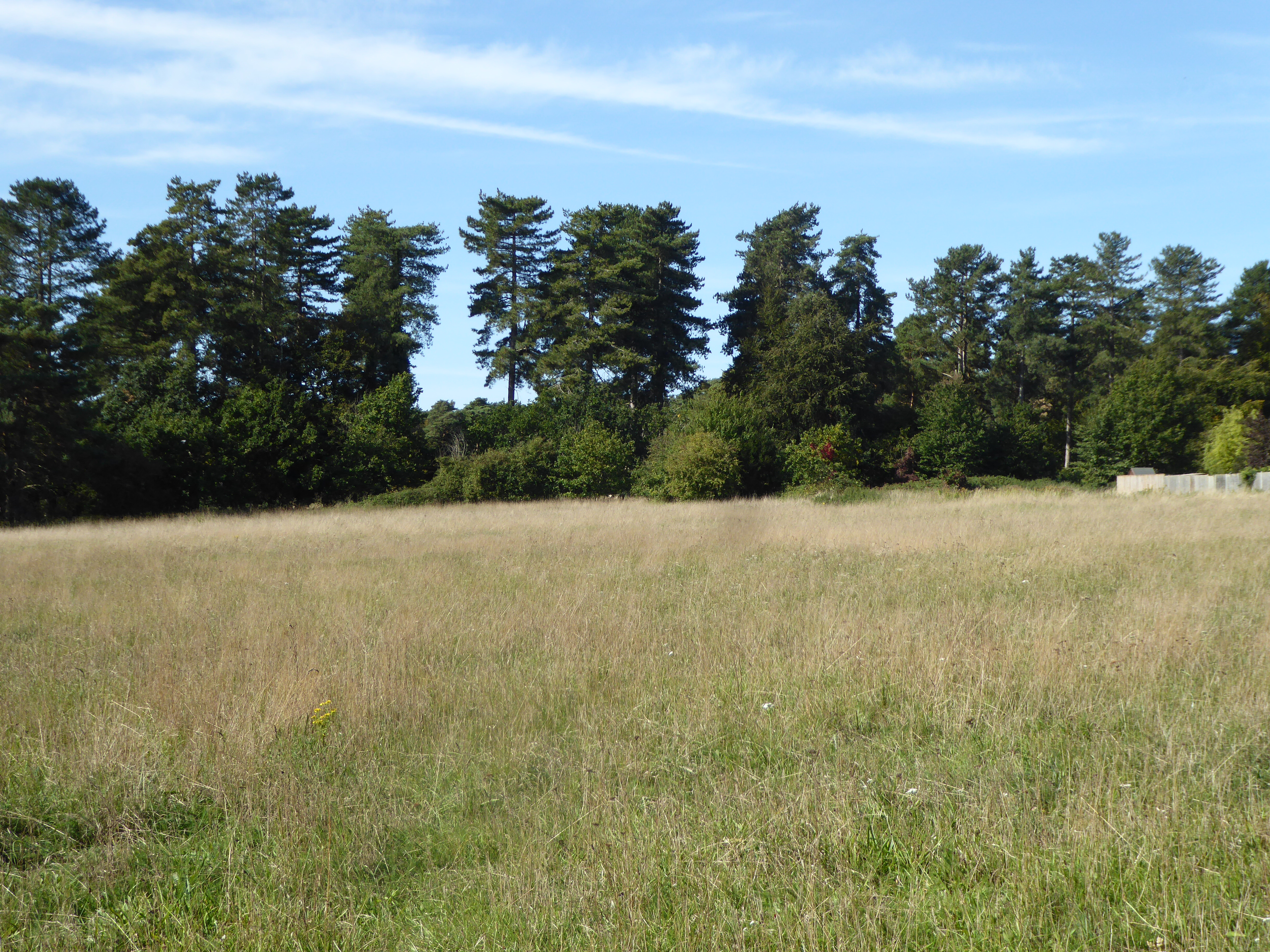
Broad Water is a freshwater body located in Suffolk, England. It is classified as a lake and is also often referred to as a pool, pond, or freshwater marsh due to its unique characteristics. Covering an area of approximately 30 hectares, Broad Water is surrounded by picturesque landscapes and is a popular destination for nature enthusiasts and birdwatchers.
The water in Broad Water is primarily sourced from rainfall and underground springs, resulting in a consistently fresh and clean environment. The lake's water level is maintained by a small stream that flows into it from the east, and it is further regulated by the local water management authorities to ensure its ecological balance.
The lake's diverse ecosystem supports a wide range of plants and animals, making it an important habitat for various species. The surrounding wetlands and reed beds provide an ideal breeding ground for waterfowl, including ducks, swans, and geese. These birds can often be observed nesting or feeding on the lake's surface.
Broad Water also attracts other wildlife such as otters, water voles, and various species of fish, including perch, roach, and pike. The lake's vegetation includes water lilies, reeds, and rushes, which provide shelter and food for many of these species.
For visitors, Broad Water offers opportunities for recreational activities such as fishing, boating, and birdwatching. The lake is easily accessible, with footpaths and viewing platforms allowing visitors to explore its surroundings and observe the diverse wildlife. The tranquil atmosphere and scenic beauty of Broad Water make it a popular destination for nature lovers and a valuable asset to the local community.
If you have any feedback on the listing, please let us know in the comments section below.
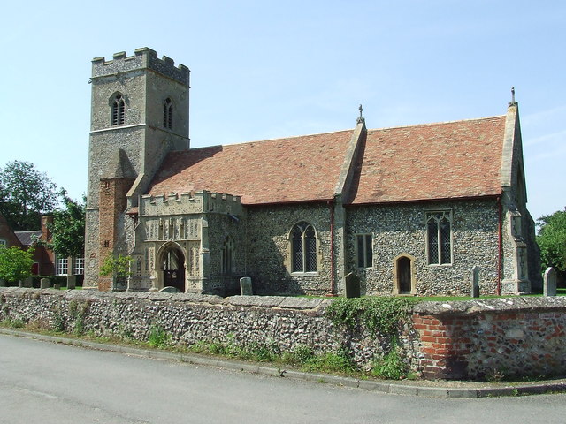
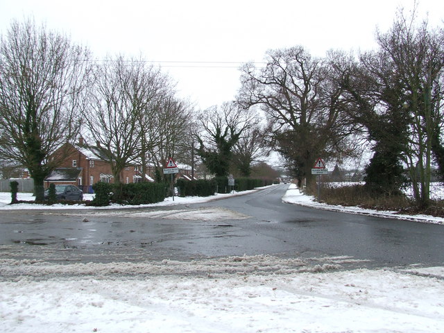
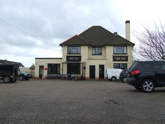
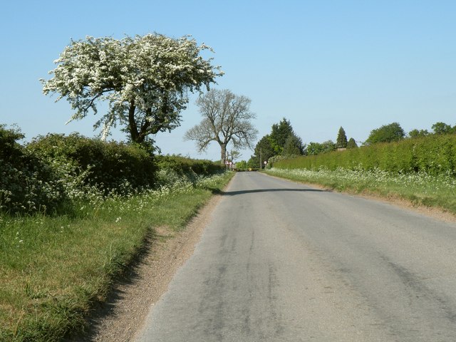
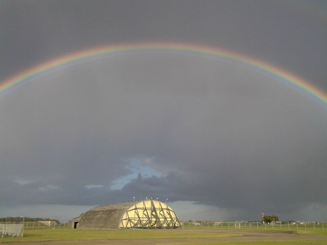
Broad Water Images
Images are sourced within 2km of 52.341585/0.77904176 or Grid Reference TL8975. Thanks to Geograph Open Source API. All images are credited.


Broad Water is located at Grid Ref: TL8975 (Lat: 52.341585, Lng: 0.77904176)
Administrative County: Suffolk
District: West Suffolk
Police Authority: Suffolk
What 3 Words
///chainsaw.changes.donates. Near Ixworth, Suffolk
Nearby Locations
Related Wikis

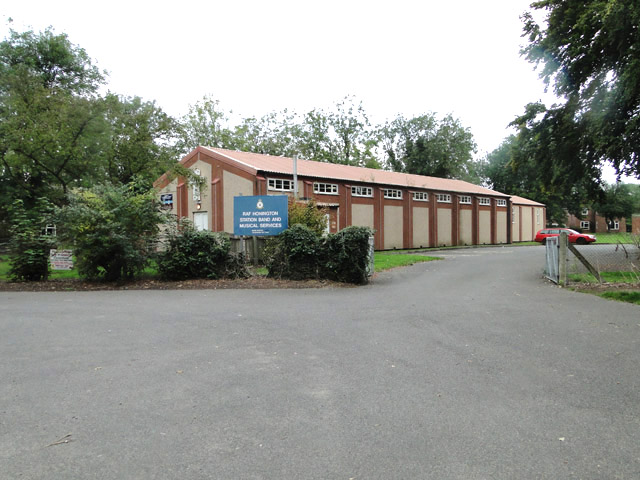
RAF Honington
Royal Air Force Honington or more simply RAF Honington (IATA: BEQ, ICAO: EGXH) is a Royal Air Force station located 6 mi (9.7 km) south of Thetford near...
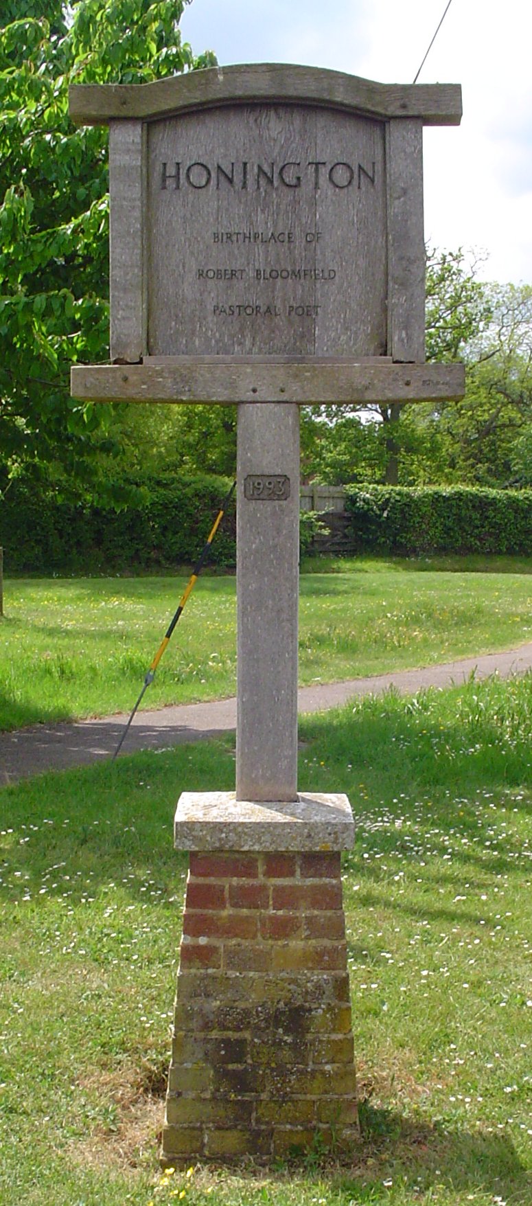
Honington, Suffolk
Honington is a village and civil parish located in Bardwell Ward and Pakenham and Troston Wards of West Suffolk District Council, Suffolk in eastern England...

Fakenham Magna
Fakenham Magna (or Great Fakenham) is a village and civil parish in the West Suffolk district of Suffolk in eastern England. The meaning of the word 'Fakenham...

Sapiston
Sapiston is a small village and civil parish in the West Suffolk district of Suffolk in eastern England, located near the Suffolk-Norfolk border. It is...

St Andrew's Church, Sapiston
St Andrew's Church is a redundant Anglican church in the village of Sapiston, Suffolk, England. It is recorded in the National Heritage List for England...

Troston
Troston is a village and civil parish in Suffolk, England, five miles north-east of Bury St Edmunds. Its parish church contains rare mediaeval wall paintings...

Ixworth Thorpe
Ixworth Thorpe is a small village and civil parish in the West Suffolk district of the English county of Suffolk. The village is located on the A1088 road...
Elm Road Field, Thetford
Elm Road Field, Thetford is a 5-hectare (12-acre) biological Site of Special Scientific Interest on the southern outskirts of Thetford in Norfolk.This...
Nearby Amenities
Located within 500m of 52.341585,0.77904176Have you been to Broad Water?
Leave your review of Broad Water below (or comments, questions and feedback).