Main Lake
Lake, Pool, Pond, Freshwater Marsh in Hertfordshire Stevenage
England
Main Lake

Main Lake is a serene freshwater body located in Hertfordshire, England. It is nestled amidst the picturesque countryside, attracting nature enthusiasts and visitors seeking tranquility. With an area spanning approximately 3 acres, Main Lake boasts a diverse ecosystem that includes a lake, pool, pond, and freshwater marsh.
The lake itself is the centerpiece of this natural gem, encompassing a significant portion of the area. It is surrounded by lush vegetation, creating a scenic backdrop for visitors to enjoy. The crystal-clear water of the lake is home to a variety of aquatic life, including fish, waterfowl, and amphibians.
Adjacent to the lake, a pool and pond can be found, adding to the biodiversity of Main Lake. These smaller water bodies provide habitats for a wide range of plants and animals, further enhancing the ecological richness of the area. Visitors can observe an assortment of water plants, such as lilies and reeds, thriving in this aquatic environment.
The freshwater marsh, situated on the fringes of Main Lake, is an integral part of the ecosystem. It is characterized by its wet and marshy terrain, offering a unique habitat for various bird species, insects, and other wildlife. The marsh is a haven for birdwatchers, who can spot numerous species including herons, ducks, and swans.
Main Lake, Hertfordshire, is not only a haven for wildlife but also provides an idyllic setting for recreational activities. Visitors can engage in peaceful walks, picnics, or simply soak in the beauty of nature. The serene ambiance and diverse ecosystem make Main Lake an ideal destination for those seeking a respite from the hustle and bustle of urban life.
If you have any feedback on the listing, please let us know in the comments section below.
Main Lake Images
Images are sourced within 2km of 51.900307/-0.18053523 or Grid Reference TL2523. Thanks to Geograph Open Source API. All images are credited.


Main Lake is located at Grid Ref: TL2523 (Lat: 51.900307, Lng: -0.18053523)
Administrative County: Hertfordshire
District: Stevenage
Police Authority: Hertfordshire
What 3 Words
///slowly.drank.leader. Near Stevenage, Hertfordshire
Nearby Locations
Related Wikis

Marriotts School
Marriotts School is a secondary school in Stevenage, Hertfordshire, England. The school was rebuilt along with Lonsdale School (for special needs children...

Shephall
Shephall (SHEP-all) is a neighbourhood of the new town of Stevenage in Hertfordshire. It was formerly a separate village and parish, being absorbed into...

The Heathcote School
The Heathcote School was an 11-18 comprehensive school in Stevenage, Hertfordshire. The school was founded in the 1950s. It was awarded Specialist Engineering...
Barnwell School
Barnwell School is a coeducational secondary school and sixth form that was established in 1959 and is situated in the south of Stevenage, Hertfordshire...

List of local nature reserves in Hertfordshire
Hertfordshire is a county in eastern England. It is bordered by Bedfordshire to the north, Cambridgeshire to the north-east, Essex to the east, Buckinghamshire...
North Hertfordshire College
North Hertfordshire College ("NHC") is a further education and higher education college operating in Stevenage, Hitchin, and Letchworth Garden City. NHC...

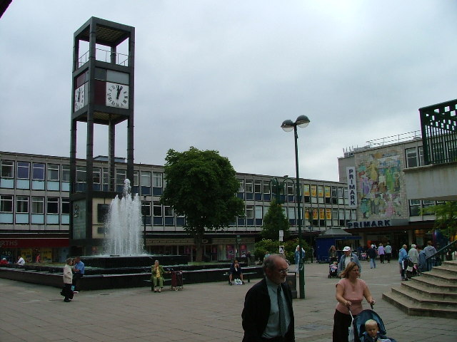
Stevenage Clock Tower
Stevenage Clock Tower is a Grade II listed structure in Town Square in the centre of Stevenage New Town. A panel on the tower records the visit of Elizabeth...

Broadhall Way
Broadhall Way, known as the Lamex Stadium for sponsorship purposes, is an association football stadium in Stevenage, Hertfordshire. It has been the home...
Nearby Amenities
Located within 500m of 51.900307,-0.18053523Have you been to Main Lake?
Leave your review of Main Lake below (or comments, questions and feedback).