Bearton Pond

Lake, Pool, Pond, Freshwater Marsh in Hertfordshire North Hertfordshire

England

Bearton Pond

Pirton Road west of Hitchin
Pirton Road west of Hitchin Credit: David Howard

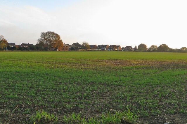
Bearton Pond is a picturesque body of water located in Hertfordshire, England. Situated in the town of Hitchin, it serves as a tranquil oasis amidst the urban landscape. This freshwater pond spans an area of approximately 1.5 acres, making it a small yet significant natural feature in the region.

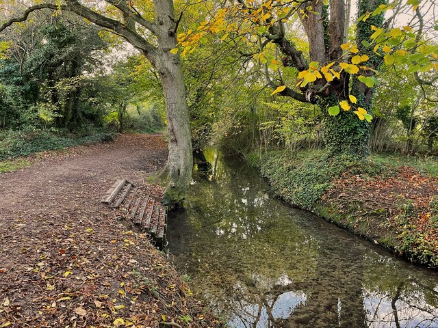
As a pond, Bearton Pond is characterized by its still and calm waters. Surrounded by lush vegetation, it offers a serene environment for both wildlife and visitors alike. The pond is home to various species of freshwater plants, such as lilies and reeds, which provide a natural habitat for a diverse range of aquatic organisms.

The pond's ecosystem supports a variety of wildlife, including birds, fish, and insects. Many species of waterfowl can be spotted here, including ducks, swans, and herons, making it a popular spot for birdwatchers. The pond also attracts a range of fish species, such as carp and perch, which thrive in its clear waters.

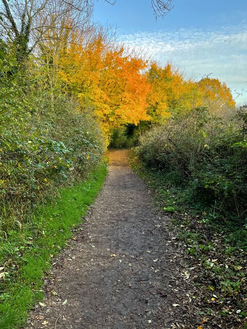
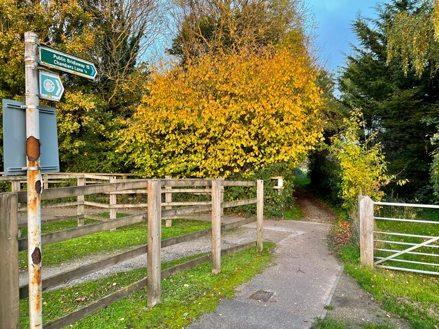
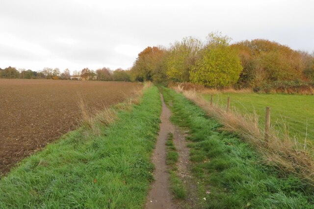
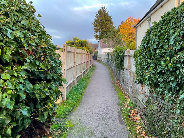
Bearton Pond is a popular destination for local residents and visitors who seek a peaceful retreat. It offers a tranquil atmosphere for activities such as walking, picnicking, and nature observation. The surrounding area features well-maintained footpaths, allowing visitors to explore and appreciate the natural beauty of the pond and its surroundings.

Overall, Bearton Pond is a charming freshwater feature in Hertfordshire, providing a haven for wildlife and a place of relaxation and recreation for visitors.

If you have any feedback on the listing, please let us know in the comments section below.
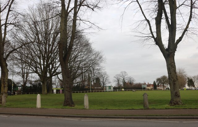
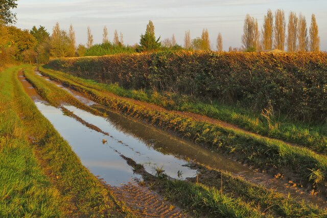
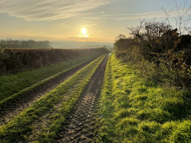
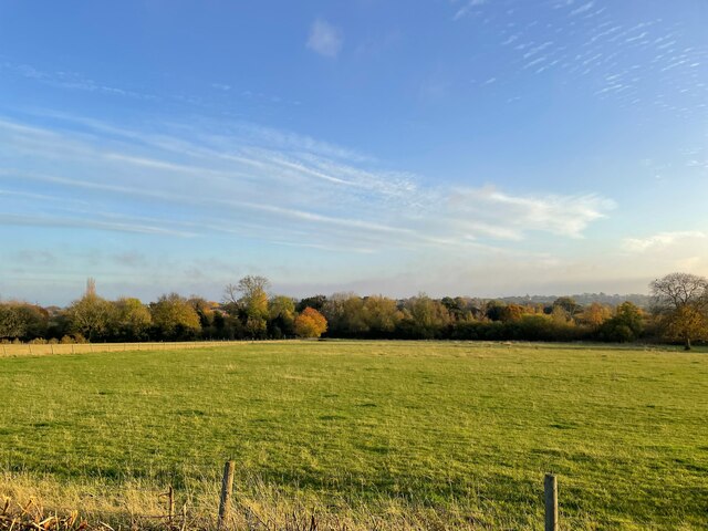
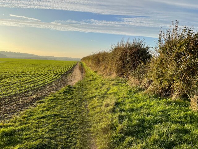
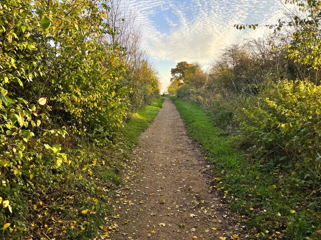
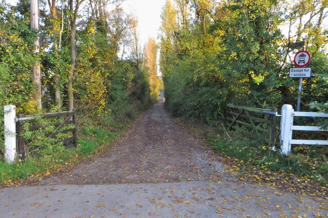
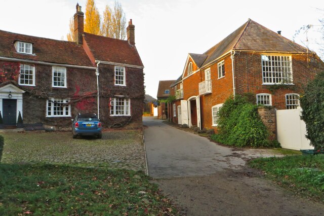
Bearton Pond Images

Images are sourced within 2km of 51.956699/-0.28504824 or Grid Reference TL1730. Thanks to Geograph Open Source API. All images are credited.

Pirton Road west of Hitchin
Pirton Road at Pirton Cross At the end of Hitchin Road
Pirton Road at Pirton Cross
At the end of Hitchin Road
Ryder Avenue, Ickleford
Park by Bedford Road, Hitchin Hitchin Town FC is opposite
Park by Bedford Road, Hitchin
Hitchin Town FC is opposite
A sodden Icknield Way
Icknield Way sundown
Trees by the River Oughton
Footpath to Pirton
Footpath to Pirton
Mill Way going south
Footpath down to River Oughton
The Coach House at Westmill Farm
Autumn trees on the footpath by River Oughton
Steps into River Oughton
Field on the edge of Westmill
Bridleway to Chambers Lane
Icknield Way Ickleford
Footpath into Ickleford
Show me another place!

Bearton Pond is located at Grid Ref: TL1730 (Lat: 51.956699, Lng: -0.28504824)

Administrative County: Hertfordshire

District: North Hertfordshire

Police Authority: Hertfordshire

What 3 Words

///thus.erase.then. Near Hitchin, Hertfordshire

Nearby Locations

Westmill Bearton Pond

Related Wikis

Bearton

Bearton was a small hamlet lying to the north of Hitchin in Hertfordshire, England. It was incorporated into Hitchin over a century ago, and now forms...

Hitchin Town F.C.

Hitchin Town Football Club is an English semi-professional football club based in Hitchin, Hertfordshire. They are currently members of the Southern League...

Hitchin Oughton

Hitchin Oughton is one of the five electoral wards in Hitchin, England. It contains the Westmill estate and is named after the River Oughton. It invariably...

Westmill (Hitchin)

Westmill is a residential area of Hitchin in Hertfordshire, England. It was originally built as a council housing estate in the 1920s. There is a primary...

Nearby Amenities

Located within 500m of 51.956699,-0.28504824
Mini Roundabout
Direction: clockwise
Lat/Long: 51.9566953/-0.2858066
Barrier: cycle_barrier
Lat/Long: 51.9539697/-0.2893792
Restaurant
The Angels
Description: special room for children
Lat/Long: 51.9569388/-0.2862648
Bus Stop
Fishponds Road
Bench: no
Bus: yes
Naptan AtcoCode: 210021108270
Naptan Bearing: N
Naptan CommonName: Fishponds Road
Naptan Crossing: Chestnut Court
Naptan Indicator: opp
Naptan Landmark: Chestnut Court
Naptan NaptanCode: hrtgjdjt
Naptan PlusbusZoneRef: HITCHIN
Naptan ShortCommonName: NA
Naptan Street: Bedford Road
Naptan Verified: no
Public Transport: platform
Shelter: no
Source: naptan_import
Tactile Paving: no
Lat/Long: 51.9551129/-0.2853251
Bus Stop
Nutleigh Grove
Bench: yes
Bin: no
Bus: yes
Description: line 81
Lit: yes
Local Ref: NR
Naptan AtcoCode: 210021108275
Naptan Bearing: E
Naptan CommonName: Nutleigh Grove
Naptan Crossing: Nutleigh Green
Naptan Indicator: nr
Naptan Landmark: Nutleigh Green
Naptan NaptanCode: hrtgjdjw
Naptan PlusbusZoneRef: HITCHIN
Naptan ShortCommonName: NA
Naptan Street: Redhill Road
Naptan Verified: no
Public Transport: platform
Shelter: yes
Source: naptan_import
Tactile Paving: yes
Lat/Long: 51.9566411/-0.286533
Bus Stop
Angel's Reply PH
Bus: yes
Naptan AtcoCode: 210021108280
Naptan Bearing: N
Naptan CommonName: Angel's Reply PH
Naptan Crossing: Castle Court
Naptan Indicator: adj
Naptan Landmark: Castle Court
Naptan NaptanCode: hrtgjdad
Naptan PlusbusZoneRef: HITCHIN
Naptan ShortCommonName: NA
Naptan Street: Bedford Road
Naptan Verified: no
Public Transport: platform
Source: naptan_import
Lat/Long: 51.957594/-0.2861234
Bus Stop
Wellingham Avenue
Bus: yes
Local Ref: NR
Naptan AtcoCode: 210021108290
Naptan Bearing: N
Naptan CommonName: Wellingham Avenue
Naptan Crossing: opp King George's Close
Naptan Indicator: nr
Naptan Landmark: opp King George's Close
Naptan NaptanCode: hrtgjdag
Naptan PlusbusZoneRef: HITCHIN
Naptan ShortCommonName: NA
Naptan Street: Bedford Road
Naptan Verified: no
Public Transport: platform
Shelter: yes
Source: naptan_import
Lat/Long: 51.9603268/-0.2864652
Bus Stop
Nutleigh Grove
Bench: yes
Bin: yes
Bus: yes
Description: line 81
Lit: yes
Naptan AtcoCode: 210021108360
Naptan Bearing: SW
Naptan CommonName: Nutleigh Grove
Naptan Crossing: Nutleigh Green
Naptan Indicator: opp
Naptan Landmark: Nutleigh Green
Naptan NaptanCode: hrtgjdap
Naptan PlusbusZoneRef: HITCHIN
Naptan ShortCommonName: NA
Naptan Street: Redhill Road
Naptan Verified: no
Public Transport: platform
Shelter: yes
Source: naptan_import
Tactile Paving: yes
Lat/Long: 51.9564634/-0.2866709
Bus Stop
Mattocke Road
Bus: yes
Description: line 81
Naptan AtcoCode: 210021108415
Naptan Bearing: SW
Naptan CommonName: Mattocke Road
Naptan Crossing: South Place
Naptan Indicator: opp
Naptan Landmark: South Place
Naptan NaptanCode: hrtgtpat
Naptan ShortCommonName: NA
Naptan Street: Redhill Road
Naptan Verified: no
Public Transport: platform
Source: naptan_import
Lat/Long: 51.9554168/-0.2901454
Bus Stop
Balmoral Road
Bus: yes
Local Ref: NR
Naptan AtcoCode: 210021108620
Naptan Bearing: SW
Naptan CommonName: Balmoral Road
Naptan Crossing: Bearton Road
Naptan Indicator: nr
Naptan Landmark: Bearton Road
Naptan NaptanCode: hrtgjapa
Naptan PlusbusZoneRef: HITCHIN
Naptan ShortCommonName: NA
Naptan Street: Old Hale Way
Naptan Verified: no
Public Transport: platform
Source: naptan_import
Lat/Long: 51.9578636/-0.281567
Bus Stop
Football Club
Naptan AtcoCode: 210021108800
Naptan Bearing: E
Naptan CommonName: Football Club
Naptan Crossing: Bedford Road
Naptan Indicator: o/s
Naptan Landmark: Bedford Road
Naptan NaptanCode: hrtgjapt
Naptan PlusbusZoneRef: HITCHIN
Naptan ShortCommonName: NA
Naptan Street: Fishponds Road
Naptan Verified: no
Source: naptan_import
Lat/Long: 51.9538138/-0.283803
Bus Stop
Football Club
Naptan AtcoCode: 210021110860
Naptan Bearing: W
Naptan CommonName: Football Club
Naptan Crossing: Bedford Road
Naptan Indicator: opp
Naptan Landmark: Bedford Road
Naptan NaptanCode: hrtgdpmg
Naptan PlusbusZoneRef: HITCHIN
Naptan ShortCommonName: NA
Naptan Street: Fishponds Road
Naptan Verified: no
Shelter: yes
Source: naptan_import
Tactile Paving: no
Lat/Long: 51.9536514/-0.2837655
Bus Stop
Balmoral Road
Bus: yes
Naptan AtcoCode: 210021111028
Naptan Bearing: NE
Naptan CommonName: Balmoral Road
Naptan Crossing: Balmoral Road
Naptan Indicator: opp
Naptan Landmark: Balmoral Road
Naptan NaptanCode: hrtgdptm
Naptan PlusbusZoneRef: HITCHIN
Naptan ShortCommonName: NA
Naptan Street: Old Hale Way
Naptan Verified: no
Public Transport: platform
Source: naptan_import
Lat/Long: 51.957617/-0.2819257
Bus Stop
The Crescent
Bus: yes
Description: line 81
Naptan AtcoCode: 210021111240
Naptan Bearing: S
Naptan CommonName: The Crescent
Naptan Indicator: opp
Naptan Landmark: Unknown
Naptan NaptanCode: hrtgdpjg
Naptan PlusbusZoneRef: HITCHIN
Naptan ShortCommonName: NA
Naptan Street: Westmill Road
Naptan Verified: no
Public Transport: platform
Source: naptan_import
Lat/Long: 51.9574616/-0.2891506
Bus Stop
Bearton Green
Bench: no
Bus: yes
Naptan AtcoCode: 210021111260
Naptan Bearing: W
Naptan CommonName: Bearton Green
Naptan Indicator: opp
Naptan Landmark: Unknown
Naptan NaptanCode: hrtgdpjm
Naptan PlusbusZoneRef: HITCHIN
Naptan ShortCommonName: NA
Naptan Street: Bearton Road
Naptan Verified: no
Public Transport: platform
Shelter: no
Source: naptan_import
Tactile Paving: no
Lat/Long: 51.9571279/-0.2835308
Bus Stop
Wellingham Avenue
Bus: yes
Naptan AtcoCode: 210021111370
Naptan Bearing: S
Naptan CommonName: Wellingham Avenue
Naptan Crossing: Deacons Way
Naptan Indicator: opp
Naptan Landmark: Deacons Way
Naptan NaptanCode: hrtgdpjt
Naptan PlusbusZoneRef: HITCHIN
Naptan ShortCommonName: NA
Naptan Street: Bedford Road
Naptan Verified: no
Public Transport: platform
Shelter: yes
Source: naptan_import
Lat/Long: 51.9602607/-0.2862494
Bus Stop
Angel's Reply PH
Bus: yes
Naptan AtcoCode: 210021111380
Naptan Bearing: S
Naptan BusStopType: CUS
Naptan CommonName: Angel's Reply PH
Naptan Crossing: Bearton Road
Naptan Indicator: opp
Naptan Landmark: Bearton Road
Naptan NaptanCode: hrtgdpjw
Naptan PlusbusZoneRef: HITCHIN
Naptan ShortCommonName: NA
Naptan Street: Bedford Road
Naptan Verified: no
Public Transport: platform
Source: naptan_import
Lat/Long: 51.9580901/-0.2860683
Bus Stop
Fishponds Road
Bench: no
Bus: yes
Local Ref: NR
Naptan AtcoCode: 210021111400
Naptan Bearing: S
Naptan CommonName: Fishponds Road
Naptan Crossing: Lancaster Avenue
Naptan Indicator: nr
Naptan Landmark: Lancaster Avenue
Naptan NaptanCode: hrtgdpma
Naptan PlusbusZoneRef: HITCHIN
Naptan ShortCommonName: NA
Naptan Street: Bedford Road
Naptan Verified: no
Public Transport: platform
Shelter: no
Source: naptan_import
Tactile Paving: no
Lat/Long: 51.9546496/-0.2850081
Bus Stop
Bearton Green
Bench: no
Bus: yes
Local Ref: NR
Naptan AtcoCode: 210021161065
Naptan Bearing: E
Naptan CommonName: Bearton Green
Naptan Crossing: Old Hale Way
Naptan Indicator: nr
Naptan Landmark: Old Hale Way
Naptan NaptanCode: hrtgapgd
Naptan PlusbusZoneRef: HITCHIN
Naptan ShortCommonName: NA
Naptan Street: Bearton Road
Naptan Verified: no
Public Transport: platform
Shelter: no
Source: naptan_import
Tactile Paving: no
Lat/Long: 51.9572565/-0.2831038
Post Box
Collection Times: Mo-Fr 18:30; Sa 12:00
Post Box Type: pillar
Ref: SG5 2
Royal Cypher: EIIR
Royal Cypher Wikidata: Q33102113
Lat/Long: 51.9572/-0.2823
Post Box
Collection Times: Mo-Fr 17:30; Sa 12:00
Note: Postbox on N side of Wellingham Avenue
Post Box Type: pillar
Ref: SG5 3
Royal Cypher: EIIR
Royal Cypher Wikidata: Q33102113
Lat/Long: 51.9600406/-0.2867846
Post Box
Collection Times: Mo-Fr 17:15; Sa 12:00
Post Box Design: type_k
Post Box Type: pillar
Ref: SG5 7
Royal Cypher: EIIR
Royal Cypher Wikidata: Q33102113
Lat/Long: 51.9564334/-0.2872424
Fire Hydrant
Emergency: fire_hydrant
Fire Hydrant Diameter: 75
Fire Hydrant Type: underground
Text: 75H3
Lat/Long: 51.9579273/-0.2813816
Fire Hydrant
Emergency: fire_hydrant
Fire Hydrant Diameter: 75
Fire Hydrant Position: sidewalk
Fire Hydrant Type: underground
Text: 75H4
Lat/Long: 51.9536736/-0.2815093
Fire Hydrant
Emergency: fire_hydrant
Fire Hydrant Diameter: 100
Text: 100H4
Lat/Long: 51.9552921/-0.28141
Fast Food
Atlantic Bay
Addr City: Hitchin
Addr County: Hertfordshire
Addr Housenumber: 10
Addr Postcode: SG5 2NJ
Addr Street: Redhill Road
Alt Name: Atlantic Bay Fish and Chips
Cuisine: fish_and_chips
Fhrs Id: 961761
Opening Hours: PH,Mo-Sa 11:30-22:00
Source Addr: FHRS Open Data
Lat/Long: 51.9565346/-0.2871005
Atm
Bank of Ireland
Brand: Bank of Ireland
Brand Wikidata: Q806689
Brand Wikipedia: en:Bank of Ireland
Fee Charging: no
Internal: no
Operator: Bank of Ireland
Operator Wikidata: Q806689
Lat/Long: 51.9564877/-0.2871997
Post Office
Redhill Road Post Office
Addr Country: GB
Addr Postcode: SG5 2NJ
Brand: Post Office
Brand Wikidata: Q1783168
Contact Website: https://www.postoffice.co.uk/branch-finder/0831298/redhill-road
Ref Pol Id: 853
Lat/Long: 51.9564907/-0.2872869
Barrier: bollard
Bicycle: yes
Foot: yes
Source: observation
Lat/Long: 51.9532627/-0.2897519
Barrier: bollard
Bicycle: yes
Foot: yes
Lat/Long: 51.9551794/-0.290918
Crossing
Crossing: uncontrolled
Lat/Long: 51.9537734/-0.2842702
Crossing
Crossing: uncontrolled
Lat/Long: 51.9534765/-0.2846801
Bearton
Place: suburb
Wikidata: Q4876793
Lat/Long: 51.9578084/-0.2834395
Westmill
Place: suburb
Lat/Long: 51.9572864/-0.2918846
Historic: memorial
Lat/Long: 51.9579975/-0.2859826
Shop: convenience
Lat/Long: 51.956776/-0.2778983
Fast Food
rice and noodles
Lat/Long: 51.9567561/-0.2781665
Fuel
Shell
Addr Postcode: SG5 2TY
Brand: Shell
Brand Wikidata: Q110716465
Opening Hours: Mo-Su 07:00-23:00
Phone: +44 1462 450277
Ref Navads: NVDS353_10019011
Website: https://find.shell.com/gb/fuel/10019011-shell-hitchin
Lat/Long: 51.9545874/-0.2853656
Fast Food
Cinnamon
Lat/Long: 51.9564702/-0.2873894
Redhill News
Addr City: Hitchin
Addr Country: GB
Addr County: Hertfordshire
Addr Housenumber: 16
Addr Postcode: SG5 2NJ
Addr Street: Redhill Road
Fhrs Id: 1335106
Shop: newsagent
Lat/Long: 51.9564517/-0.2874625
Crossing
Crossing: traffic_signals
Lat/Long: 51.9563631/-0.2856646
Crossing
Crossing: traffic_signals
Lat/Long: 51.9610762/-0.2860091
Give Way
Direction: forward
Lat/Long: 51.9535915/-0.284687
Give Way
Direction: backward
Lat/Long: 51.9537717/-0.2843893
Give Way
Direction: backward
Lat/Long: 51.9538576/-0.2847648
Generator Method: photovoltaic
Generator Output Electricity: yes
Generator Source: solar
Generator Type: solar_photovoltaic_panel
Location: roof
Power: generator
Lat/Long: 51.9580851/-0.2857988
Generator Method: photovoltaic
Generator Output Electricity: yes
Generator Source: solar
Generator Type: solar_photovoltaic_panel
Location: roof
Power: generator
Lat/Long: 51.9581429/-0.2859047
Atm
Lat/Long: 51.9600663/-0.286232
Communication Mobile Phone: yes
Man Made: mast
Tower Type: communication
Lat/Long: 51.9597711/-0.2865533
Man Made: mast
Tower Type: lighting
Lat/Long: 51.9609766/-0.2831852
Man Made: mast
Tower Type: lighting
Lat/Long: 51.9602768/-0.2813049
Man Made: mast
Tower Type: lighting
Lat/Long: 51.9602301/-0.2810516
Man Made: mast
Tower Type: lighting
Lat/Long: 51.9601761/-0.280821
Man Made: mast
Tower Type: lighting
Lat/Long: 51.9602885/-0.2826508
Man Made: mast
Tower Type: lighting
Lat/Long: 51.9602372/-0.2819945
Man Made: mast
Tower Type: lighting
Lat/Long: 51.9603369/-0.2833224
Man Made: mast
Tower Type: lighting
Lat/Long: 51.9599029/-0.2812136
The data included in this document is from www.openstreetmap.org. The data is made available under ODbL.

Have you been to Bearton Pond?

Leave your review of Bearton Pond below (or comments, questions and feedback).