Westmill

Settlement in Hertfordshire North Hertfordshire

England

Westmill

Pirton Road west of Hitchin
Pirton Road west of Hitchin Credit: David Howard

Westmill is a small village located in the county of Hertfordshire, England. Situated approximately 2 miles southwest of Buntingford, it is a rural community with a population of around 500 residents. The village is nestled amidst picturesque countryside, offering tranquil surroundings and a peaceful environment.

The history of Westmill dates back to the medieval period, and evidence of its rich heritage can still be seen today. The centerpiece of the village is the Grade I listed Church of St. Mary the Virgin, which dates back to the 12th century and features stunning architectural details. The church is known for its unique octagonal tower and beautiful stained glass windows.

In terms of amenities, Westmill has a local pub, The Three Tuns, which is a popular gathering spot for both locals and visitors. The village also has a primary school, providing education for the younger residents. For shopping and other services, the nearby town of Buntingford offers a range of options.

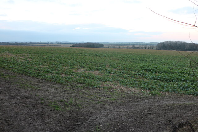
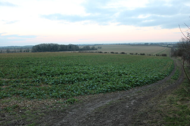
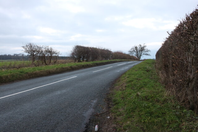
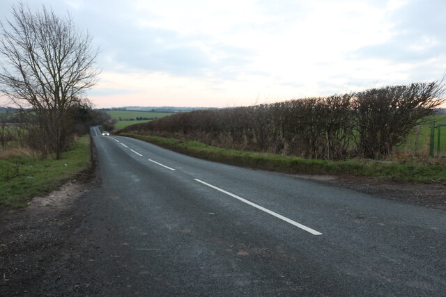
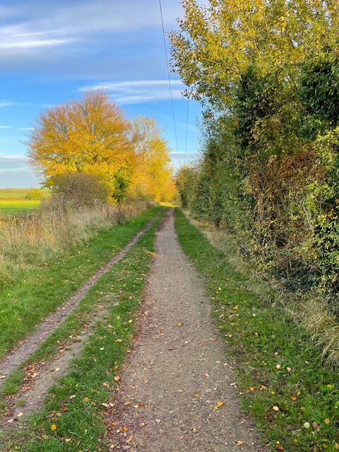
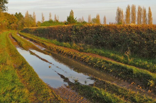
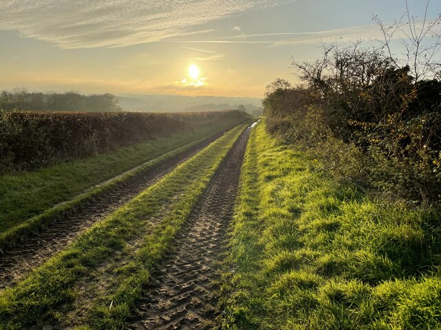
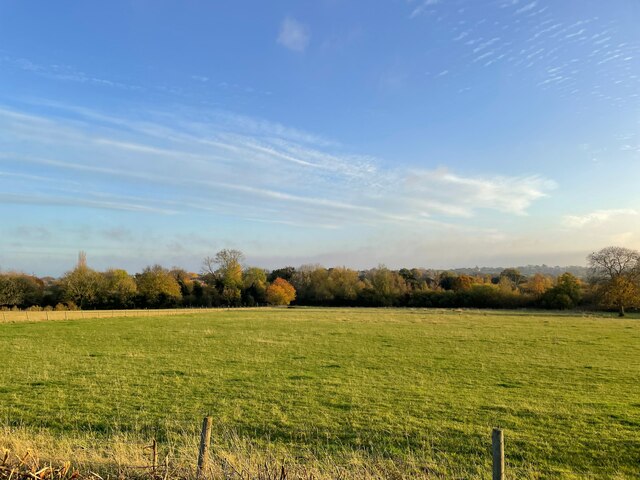
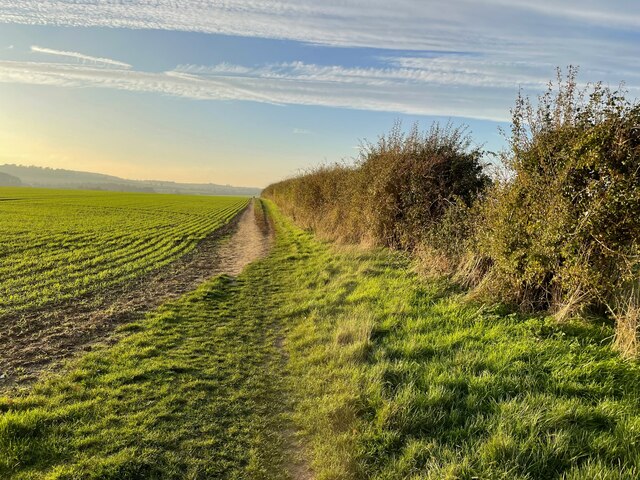
The surrounding countryside offers ample opportunities for outdoor activities, such as walking and cycling. The village is surrounded by fields and farmland, providing a picturesque backdrop for nature lovers. It is also within close proximity to East Hertfordshire's many attractions, including historical sites, gardens, and parks.

Overall, Westmill is a charming village that offers a peaceful and idyllic lifestyle. Its rich history, stunning church, and beautiful countryside make it an attractive destination for those seeking a quiet retreat in the heart of Hertfordshire.

If you have any feedback on the listing, please let us know in the comments section below.
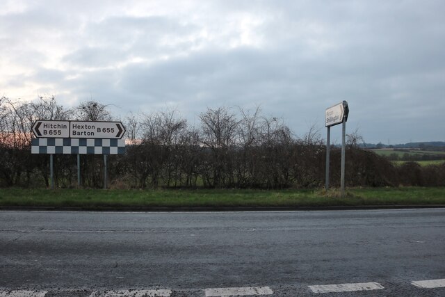
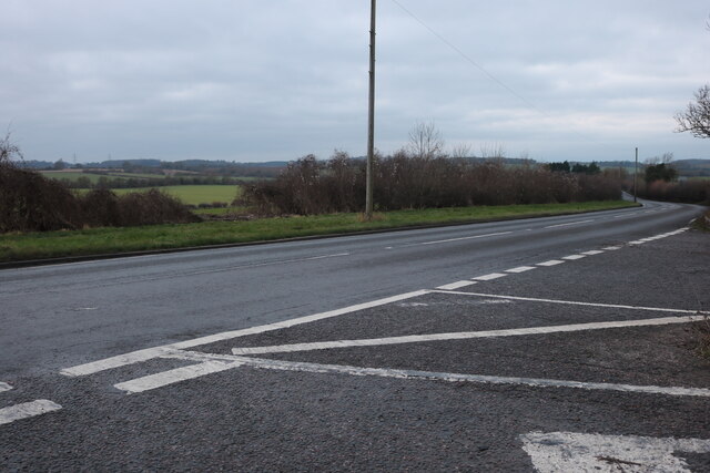
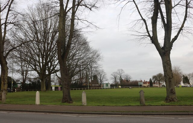
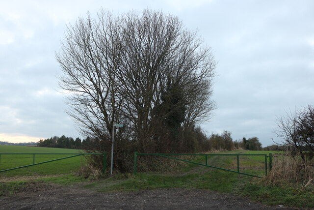
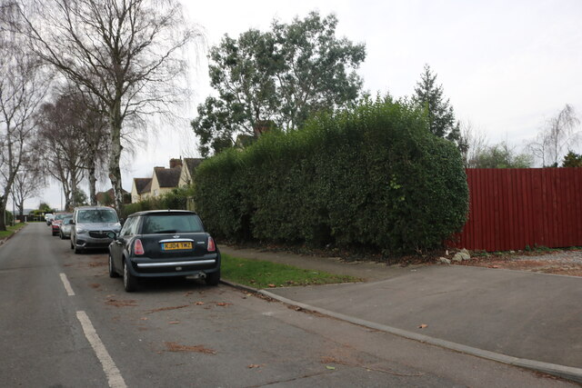
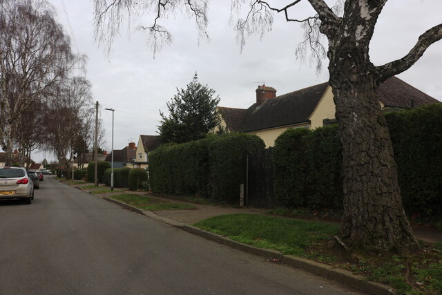
Westmill Images

Images are sourced within 2km of 51.961476/-0.29384649 or Grid Reference TL1730. Thanks to Geograph Open Source API. All images are credited.

Pirton Road west of Hitchin
Pirton Road at Pirton Cross At the end of Hitchin Road
Pirton Road at Pirton Cross
At the end of Hitchin Road
Park by Bedford Road, Hitchin Hitchin Town FC is opposite
Park by Bedford Road, Hitchin
Hitchin Town FC is opposite
Hermitage Road, Hitchin Frederic Seebohm, who owned a large house in Hitchin called the Hermitage, donated some of his land to build Hermitage Road in 1874. The shops on the left, and the half-timbered building on the right, date from the late 1920s and 1930s.
Hermitage Road, Hitchin
Frederic Seebohm, who owned a large house in Hitchin called the Hermitage, donated some of his land to build Hermitage Road in 1874. The shops on the left, and the half-timbered building on the right, date from the late 1920s and 1930s.
Hermitage Road, Hitchin Frederic Seebohm, who owned a large house in Hitchin called the Hermitage, donated some of his land to build Hermitage Road in 1874. The row of shops, including the half-timbered building, dates from the late 1920s and 1930s.
Hermitage Road, Hitchin
Frederic Seebohm, who owned a large house in Hitchin called the Hermitage, donated some of his land to build Hermitage Road in 1874. The row of shops, including the half-timbered building, dates from the late 1920s and 1930s.
St Mary's Church, Hitchin St Mary's Church has the distinction of being the largest parish church in Hertfordshire. This may reflect Hitchin's former prosperity as a centre for the wool trade. In the foreground is the River Hiz (from which the town takes its name); a nearby plaque states that the fountain was presented to the town as a tribute to the life of Sir Ian Dixon CBE who had 'extremely close ties to Hitchin and supported many local groups and causes'.
St Mary's Church, Hitchin
St Mary's Church has the distinction of being the largest parish church in Hertfordshire. This may reflect Hitchin's former prosperity as a centre for the wool trade. In the foreground is the River Hiz (from which the town takes its name); a nearby plaque states that the fountain was presented to the town as a tribute to the life of Sir Ian Dixon CBE who had 'extremely close ties to Hitchin and supported many local groups and causes'.
Entrance to Icknield Way on Hitchin Road The old Roman track crosses the road here.
Entrance to Icknield Way on Hitchin Road
The old Roman track crosses the road here.
Field by Hitchin Road, Pirton
Hitchin Road, Pirton
Hitchin Road, Pirton Looking across the Chiltern Hills
Hitchin Road, Pirton
Looking across the Chiltern Hills
Ryder Avenue, Ickleford
Autumnal trees on Hambridge Way
A sodden Icknield Way
Icknield Way sundown
Trees by the River Oughton
Footpath to Pirton
Footpath to Pirton
Show me another place!

Westmill is located at Grid Ref: TL1730 (Lat: 51.961476, Lng: -0.29384649)

Administrative County: Hertfordshire

District: North Hertfordshire

Police Authority: Hertfordshire

What 3 Words

///bonnet.refills.combos. Near Hitchin, Hertfordshire

Nearby Locations

Bearton Pond Westmill

Related Wikis

Hitchin Oughton

Hitchin Oughton is one of the five electoral wards in Hitchin, England. It contains the Westmill estate and is named after the River Oughton. It invariably...

Westmill (Hitchin)

Westmill is a residential area of Hitchin in Hertfordshire, England. It was originally built as a council housing estate in the 1920s. There is a primary...

Oughtonhead Common

Oughtonhead Common is a 17.4 hectare Local Nature Reserve in the Westmill district of Hitchin, Hertfordshire. It is owned and managed by North Hertfordshire...

Oughtonhead Lane

Oughtonhead Lane is a 0.9-hectare (2.2-acre) geological Site of Special Scientific Interest in Hitchin in Hertfordshire. The local planning authority is...

Bearton

Bearton was a small hamlet lying to the north of Hitchin in Hertfordshire, England. It was incorporated into Hitchin over a century ago, and now forms...

Hitchin Town F.C.

Hitchin Town Football Club is an English semi-professional football club based in Hitchin, Hertfordshire. They are currently members of the Southern League...

Hitchin Town Cricket Club Ground

Hitchin Cricket Club Ground is a cricket ground in Hitchin, Hertfordshire, England. The first recorded match on the ground was in 1877, when Hertfordshire...

Ickleford

Ickleford is a large village situated on the northern outskirts of Hitchin in North Hertfordshire in England. It lies on the west bank of the River Hiz...

Nearby Amenities

Located within 500m of 51.961476,-0.29384649
Ele: 85.0
Lat/Long: 51.9570392/-0.2934839
Fast Food
Lat/Long: 51.9588471/-0.2915313
Addr Postcode: SG5 2PD
Shop: convenience
Lat/Long: 51.9587254/-0.2918832
Bus Stop
Moss Way
Bus: yes
Description: line 81
Naptan AtcoCode: 210021108420
Naptan Bearing: NW
Naptan CommonName: Moss Way
Naptan Indicator: adj
Naptan Landmark: Unknown
Naptan NaptanCode: hrtgjdgd
Naptan PlusbusZoneRef: HITCHIN
Naptan ShortCommonName: NA
Naptan Street: Swinburne Avenue
Naptan Verified: no
Public Transport: platform
Source: naptan_import
Lat/Long: 51.9585171/-0.2963305
Bus Stop
Bingen Road
Bus: yes
Description: line 81
Local Ref: NR
Naptan AtcoCode: 210021108427
Naptan Bearing: N
Naptan CommonName: Bingen Road
Naptan Indicator: nr
Naptan Landmark: Unknown
Naptan NaptanCode: hrtgjatj
Naptan PlusbusZoneRef: HITCHIN
Naptan ShortCommonName: NA
Naptan Street: Moss Way
Naptan Verified: no
Public Transport: platform
Ref: http://www.intalink.org.uk/Timetables/tt/81_A_ATG.PDF
Source: naptan_import
Lat/Long: 51.9572549/-0.2953587
Bus Stop
Swinburne Avenue
Bus: yes
Description: line 81
Naptan AtcoCode: 210021108435
Naptan Bearing: NE
Naptan CommonName: Swinburne Avenue
Naptan Indicator: NE-bound
Naptan Landmark: Unknown
Naptan NaptanCode: hrtgjatm
Naptan PlusbusZoneRef: HITCHIN
Naptan ShortCommonName: NA
Naptan Street: Westmill
Naptan Verified: no
Public Transport: platform
Source: naptan_import
Lat/Long: 51.9602947/-0.2954034
Bus Stop
Westmill Lane
Description: line 81
Local Ref: NR
Naptan AtcoCode: 210021108440
Naptan Bearing: NE
Naptan CommonName: Westmill Lane
Naptan Indicator: nr
Naptan Landmark: Unknown
Naptan NaptanCode: hrtgjatp
Naptan PlusbusZoneRef: HITCHIN
Naptan ShortCommonName: NA
Naptan Street: Swinburne Avenue
Naptan Verified: no
Ref: http://www.intalink.org.uk/Timetables/tt/81_A_ATG.PDF
Source: naptan_import
Lat/Long: 51.961353/-0.2940485
Bus Stop
River Mead
Naptan AtcoCode: 210021108445
Naptan Bearing: E
Naptan CommonName: River Mead
Naptan Indicator: opp
Naptan Landmark: Unknown
Naptan NaptanCode: hrtgjatw
Naptan PlusbusZoneRef: HITCHIN
Naptan ShortCommonName: NA
Naptan Street: Burford Way
Naptan Verified: no
Source: naptan_import
Lat/Long: 51.9625553/-0.291926
Bus Stop
Milestone Road
Bus: yes
Naptan AtcoCode: 210021108450
Naptan Bearing: E
Naptan CommonName: Milestone Road
Naptan Crossing: Burford Way Milestone Road
Naptan Indicator: opp
Naptan Landmark: Burford Way Milestone Road
Naptan NaptanCode: hrtgjawa
Naptan PlusbusZoneRef: HITCHIN
Naptan ShortCommonName: NA
Naptan Street: Burford Way
Naptan Verified: no
Public Transport: platform
Source: naptan_import
Lat/Long: 51.9631599/-0.2893427
Bus Stop
Truemans Road
Bus: yes
Naptan AtcoCode: 210021108455
Naptan Bearing: S
Naptan CommonName: Truemans Road
Naptan Indicator: opp
Naptan Landmark: Unknown
Naptan NaptanCode: hrtgjawd
Naptan PlusbusZoneRef: HITCHIN
Naptan ShortCommonName: NA
Naptan Street: Milestone Road
Naptan Verified: no
Public Transport: platform
Source: naptan_import
Lat/Long: 51.9622742/-0.2880503
Bus Stop
Beechwood Close
Bus: yes
Naptan AtcoCode: 210021108460
Naptan Bearing: SW
Naptan CommonName: Beechwood Close
Naptan Indicator: opp
Naptan Landmark: Unknown
Naptan NaptanCode: hrtgjawg
Naptan PlusbusZoneRef: HITCHIN
Naptan ShortCommonName: NA
Naptan Street: Westmill
Naptan Verified: no
Public Transport: platform
Source: naptan_import
Lat/Long: 51.9608947/-0.2883002
Bus Stop
Westmill Road
Bus: yes
Description: line 81
Naptan AtcoCode: 210021108520
Naptan Bearing: SW
Naptan CommonName: Westmill Road
Naptan Indicator: adj
Naptan Landmark: Unknown
Naptan NaptanCode: hrtgjawj
Naptan PlusbusZoneRef: HITCHIN
Naptan ShortCommonName: NA
Naptan Street: Milestone Road
Naptan Verified: no
Public Transport: platform
Shelter: yes
Source: naptan_import
Lat/Long: 51.9598736/-0.2911834
Recycling
Lat/Long: 51.9590082/-0.2924232
Post Box
Check Date: 2010-07-07
Collection Times: Mo-Fr 17:00; Sa 12:00
Post Box Type: pillar
Ref: SG5 4
Lat/Long: 51.9633615/-0.2880319
Post Box
Collection Times: Mo-Fr 17:15; Sa 12:00
Post Box Type: pillar
Ref: SG5 6
Royal Cypher: EIIR
Royal Cypher Wikidata: Q33102113
Lat/Long: 51.958744/-0.2921116
Post Box
Collection Times: Mo-Fr 17:00; Sa 12:00
Post Box Type: lamp
Ref: SG5 5
Royal Cypher: EIIR
Royal Cypher Wikidata: Q33102113
Lat/Long: 51.9601/-0.2954462
Bench
Backrest: yes
Check Date: 2023-03-12
Material: wood
Source: GPS
Lat/Long: 51.9621562/-0.2970178
Bench
Backrest: yes
Check Date: 2021-04-11
Material: wood
Lat/Long: 51.9608348/-0.2992673
Barrier: kissing_gate
Foot: yes
Lat/Long: 51.9583632/-0.298583
Westmill
Place: suburb
Lat/Long: 51.9572864/-0.2918846
Recycling
Lat/Long: 51.959149/-0.293923
Board Type: nature
Check Date: 2021-04-11
Information: board
Tourism: information
Lat/Long: 51.9624589/-0.2963255
Barrier: kissing_gate
Bicycle: no
Foot: yes
Lat/Long: 51.9590965/-0.298829
Barrier: kissing_gate
Foot: yes
Source: GPS, observation
Lat/Long: 51.9590621/-0.2990781
Note: serves as overflow for river
Waterway: waterfall
Lat/Long: 51.9623698/-0.2973939
Ele: 85.000000
Lat/Long: 51.957002/-0.2933395
Bench
Backrest: yes
Lat/Long: 51.964038/-0.2907103
Bench
Backrest: yes
Material: wood
Lat/Long: 51.9607135/-0.2994418
Barrier: kissing_gate
Lat/Long: 51.9639848/-0.2896804
Give Way
Lat/Long: 51.9570024/-0.2941726
Access: yes
Leisure: playground
Lat/Long: 51.9575434/-0.2969336
The data included in this document is from www.openstreetmap.org. The data is made available under ODbL.

Have you been to Westmill?

Leave your review of Westmill below (or comments, questions and feedback).