Cell Barnes Pond
Lake, Pool, Pond, Freshwater Marsh in Hertfordshire St. Albans
England
Cell Barnes Pond
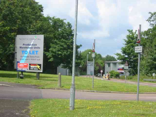
Cell Barnes Pond is a picturesque freshwater body located in Hertfordshire, England. Covering an area of approximately 1.2 hectares, the pond serves as a popular recreational spot for both locals and visitors alike. Nestled within the scenic surroundings of Cell Barnes Nature Reserve, it offers a tranquil and serene atmosphere for those seeking a peaceful escape from the bustling city life.
The pond itself is classified as a freshwater marsh, characterized by its shallow depth and abundant vegetation. It supports a diverse array of plant and animal species, making it an important ecological site. The surrounding marshland is home to a variety of bird species, including herons, ducks, and swans, making it a paradise for birdwatchers.
Visitors to Cell Barnes Pond can enjoy a range of activities such as fishing, picnicking, and leisurely walks around the water's edge. The pond is well-stocked with fish, providing anglers with ample opportunities for a successful catch.
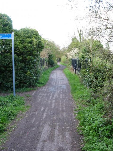
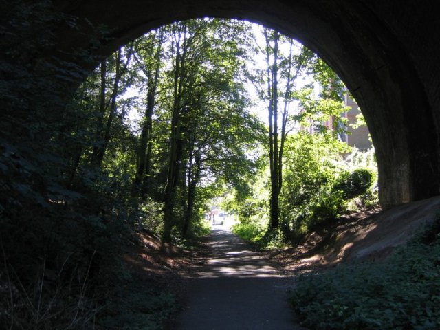
The area surrounding the pond is well-maintained, with designated footpaths and seating areas for visitors to relax and enjoy the scenic views. The calm waters of Cell Barnes Pond reflect the beauty of the surrounding trees and shrubs, creating a picturesque backdrop for nature enthusiasts and photographers.
Overall, Cell Barnes Pond in Hertfordshire offers a delightful blend of natural beauty, recreational opportunities, and wildlife conservation. Whether visiting for a peaceful stroll, birdwatching, or a day of fishing, this freshwater marsh is a destination that caters to the interests of all nature lovers.
If you have any feedback on the listing, please let us know in the comments section below.
Cell Barnes Pond Images
Images are sourced within 2km of 51.738976/-0.30532509 or Grid Reference TL1705. Thanks to Geograph Open Source API. All images are credited.


Cell Barnes Pond is located at Grid Ref: TL1705 (Lat: 51.738976, Lng: -0.30532509)
Administrative County: Hertfordshire
District: St. Albans
Police Authority: Hertfordshire
What 3 Words
///rides.sketch.insist. Near St Albans, Hertfordshire
Nearby Locations
Related Wikis
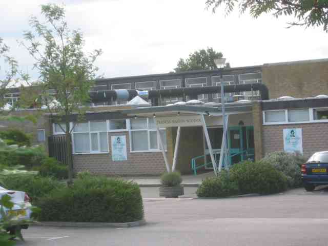
Samuel Ryder Academy
Samuel Ryder Academy (also known as SRA and formerly Francis Bacon School) is a mixed all-through school located in St Albans in South Hertfordshire, England...
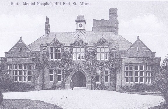
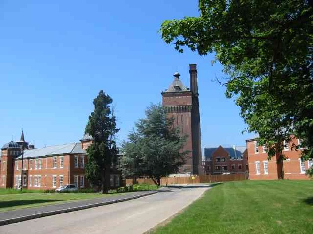
Hill End Hospital
Hill End Hospital was a mental health facility in St Albans in Hertfordshire, England. == History == The hospital, which was designed by George Thomas...

London Colney F.C.
London Colney Football Club is a football club based in London Colney, near St Albans, England. They are currently members of the Combined Counties League...
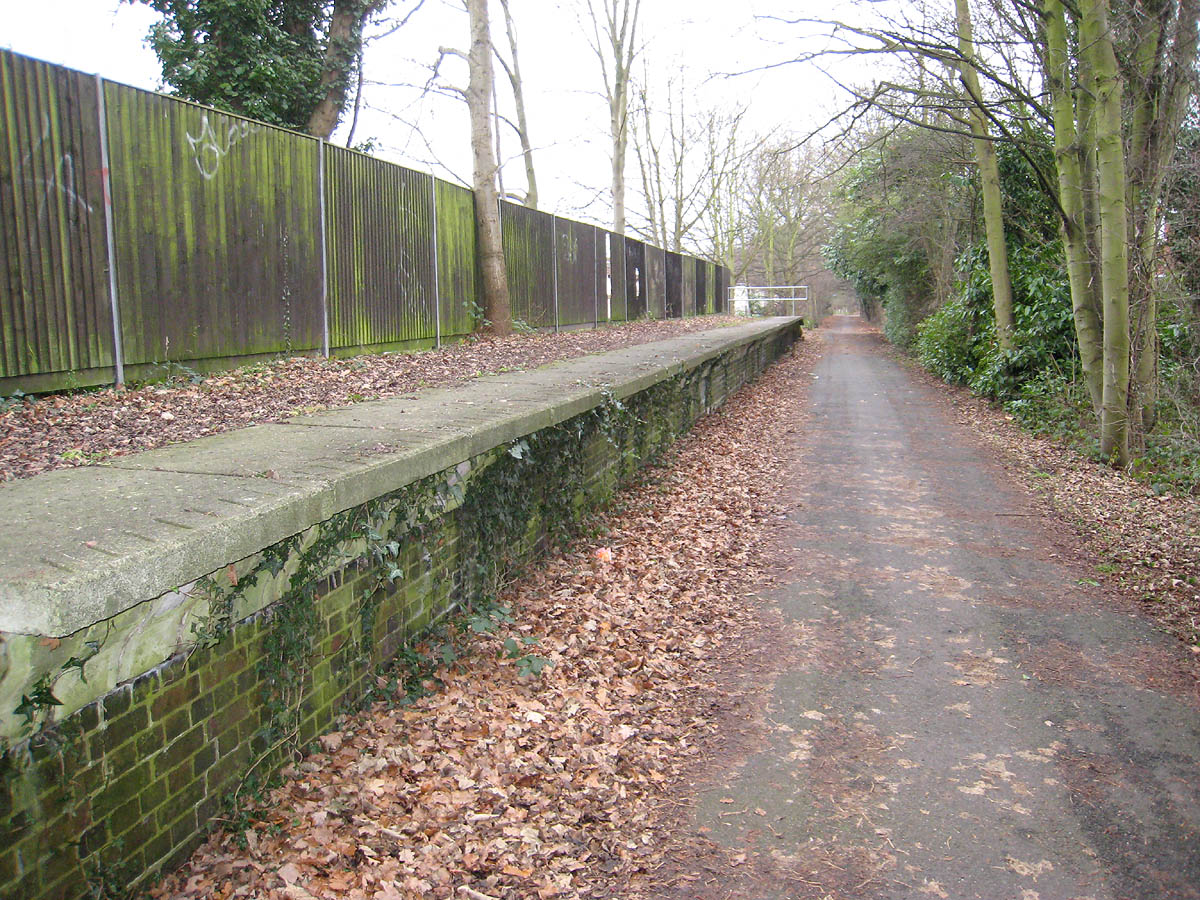
Hill End railway station
Hill End railway station was on the Great Northern Railway branch from Hatfield to St Albans in Hertfordshire, England. == History == The station, which...
Nicholas Breakspear School
Nicholas Breakspear Catholic School (NBS) is a secondary school with academy status situated on the rural fringe of St Albans, an old Roman city in Hertfordshire...

Salvation Army Halt railway station
Salvation Army Halt railway station was initially a private non-timetabled halt for the staff of Messrs Sander & Sons which had established an orchid-growing...

London Colney
London Colney () is a village and civil parish in Hertfordshire, England. It is located to the north of London, close to Junction 22 of the M25 motorway...
St Peter Rural
St Peter Rural was a civil parish in Hertfordshire, England from 1894 to 1947. The local council was St Peter Rural Parish Council. It was created under...
Nearby Amenities
Located within 500m of 51.738976,-0.30532509Have you been to Cell Barnes Pond?
Leave your review of Cell Barnes Pond below (or comments, questions and feedback).