Winchfield Wood
Wood, Forest in Hertfordshire St. Albans
England
Winchfield Wood
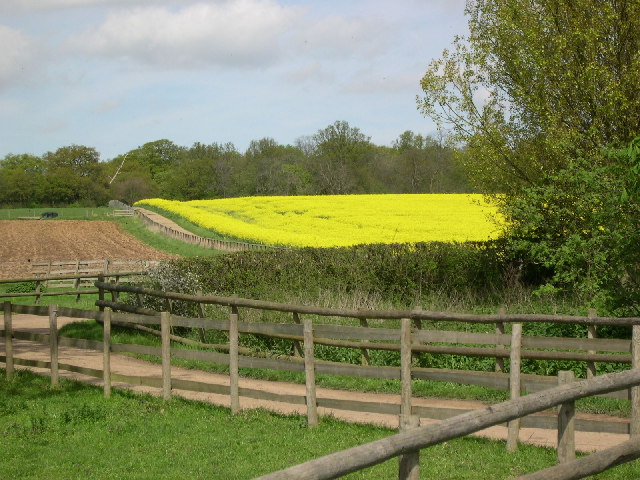
Winchfield Wood is a picturesque woodland located in the county of Hertfordshire, England. Covering an area of approximately 200 acres, it is a haven for nature enthusiasts and provides a tranquil escape from the hustle and bustle of urban life.
The wood is primarily composed of broadleaf trees, including oaks, beeches, and birches, which create a diverse and vibrant canopy. The lush undergrowth is home to a variety of plant species, including bluebells, wood anemones, and wild garlic, which create a stunning display of colors during the spring months.
The wood is crisscrossed by a network of well-maintained footpaths, making it easily accessible for walkers and hikers. These paths lead visitors through enchanting glades, past babbling brooks, and alongside tranquil ponds, offering opportunities to spot a range of wildlife, including deer, foxes, and a variety of bird species like woodpeckers and buzzards.
Winchfield Wood is also home to a number of ancient trees, some of which are believed to be several hundred years old. These majestic giants provide a sense of awe and wonder, and their gnarled branches and moss-covered trunks serve as a reminder of the wood's long and rich history.
The wood is managed by the local forestry commission, who ensure its conservation and protection. They also organize educational events and guided walks, allowing visitors to learn more about the wood's ecology and history.
Overall, Winchfield Wood is a true gem in Hertfordshire, offering a beautiful and serene natural environment for visitors to enjoy and appreciate.
If you have any feedback on the listing, please let us know in the comments section below.
Winchfield Wood Images
Images are sourced within 2km of 51.739328/-0.29795424 or Grid Reference TL1705. Thanks to Geograph Open Source API. All images are credited.


Winchfield Wood is located at Grid Ref: TL1705 (Lat: 51.739328, Lng: -0.29795424)
Administrative County: Hertfordshire
District: St. Albans
Police Authority: Hertfordshire
What 3 Words
///honest.shot.stove. Near St Albans, Hertfordshire
Nearby Locations
Related Wikis
Samuel Ryder Academy
Samuel Ryder Academy (also known as SRA and formerly Francis Bacon School) is a mixed all-through school located in St Albans in South Hertfordshire, England...
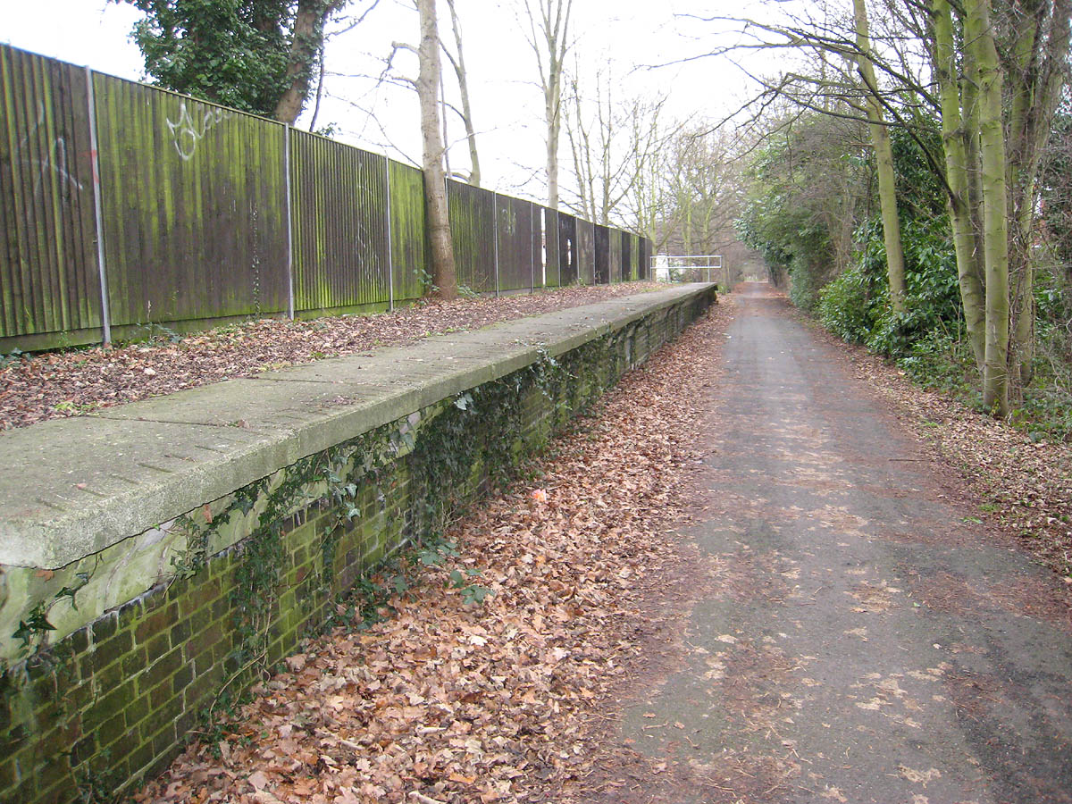
Hill End railway station
Hill End railway station was on the Great Northern Railway branch from Hatfield to St Albans in Hertfordshire, England. == History == The station, which...

Nicholas Breakspear School
Nicholas Breakspear Catholic School (NBS) is a secondary school with academy status situated on the rural fringe of St Albans, an old Roman city in Hertfordshire...
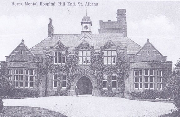
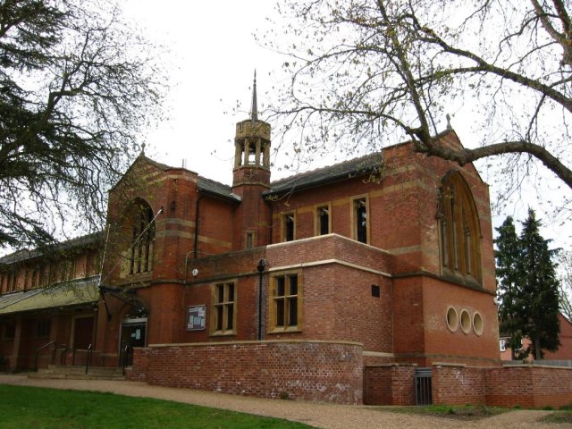
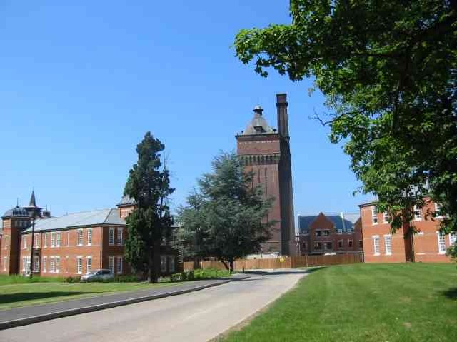
Hill End Hospital
Hill End Hospital was a mental health facility in St Albans in Hertfordshire, England. == History == The hospital, which was designed by George Thomas...
St Peter Rural
St Peter Rural was a civil parish in Hertfordshire, England from 1894 to 1947. The local council was St Peter Rural Parish Council. It was created under...
London Colney F.C.
London Colney Football Club is a football club based in London Colney, near St Albans, England. They are currently members of the Combined Counties League...

London Colney
London Colney () is a village and civil parish in Hertfordshire, England. It is located to the north of London, close to Junction 22 of the M25 motorway...

Salvation Army Halt railway station
Salvation Army Halt railway station was initially a private non-timetabled halt for the staff of Messrs Sander & Sons which had established an orchid-growing...
Nearby Amenities
Located within 500m of 51.739328,-0.29795424Have you been to Winchfield Wood?
Leave your review of Winchfield Wood below (or comments, questions and feedback).