Tyttenhanger
Settlement in Hertfordshire St. Albans
England
Tyttenhanger
Tyttenhanger is a small village located in Hertfordshire, England. Situated approximately 25 miles north of London, it falls within the borough of St Albans. The village is surrounded by beautiful countryside and is known for its picturesque landscapes and rural charm.
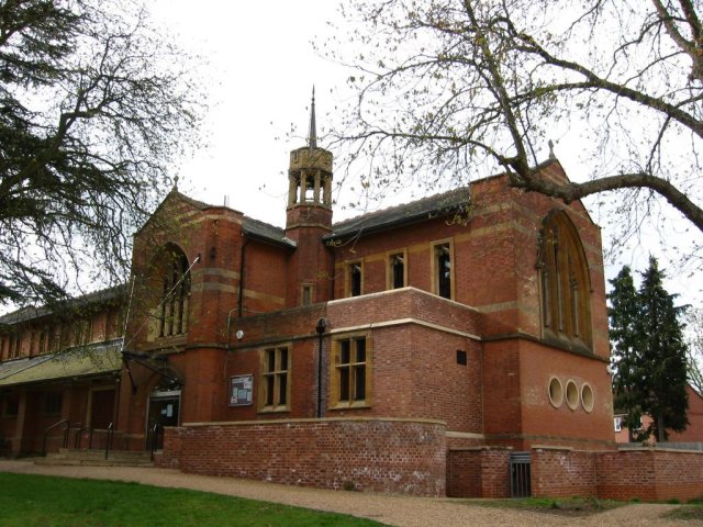
Tyttenhanger has a rich historical background, dating back to the Roman times. Evidence of Roman settlements and artifacts have been discovered in the area, highlighting its significance in the region's history. The village itself has a few notable landmarks, including the St Leonard's Church, which dates back to the 12th century and features stunning architectural details.
The village is primarily residential, with a close-knit community that values its peaceful and tranquil surroundings. It offers a quiet retreat from the bustling city life, attracting individuals and families looking for a calm and idyllic place to call home.
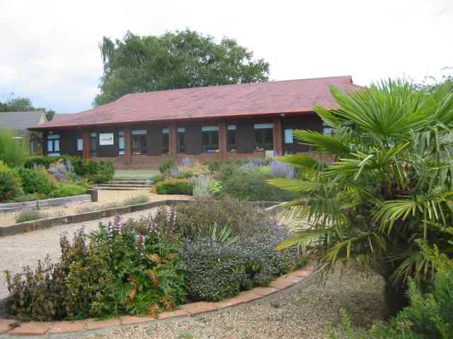
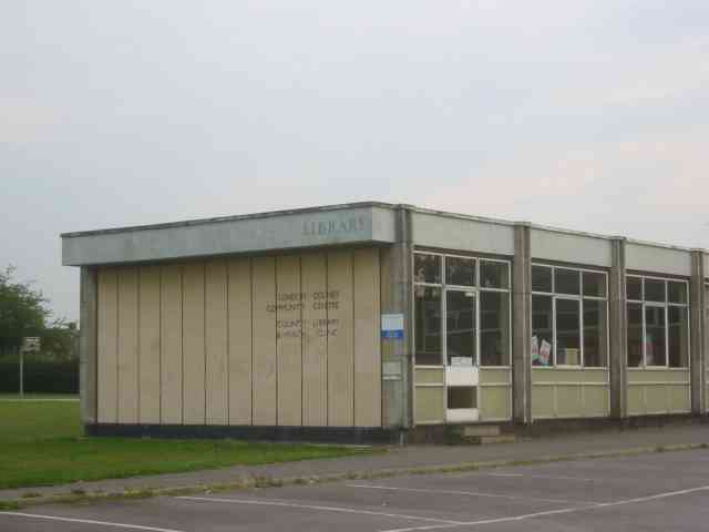
Despite its small size, Tyttenhanger provides essential amenities for its residents. These include a village hall, a primary school, and a local pub, which serves as a hub for social gatherings and community events. The nearby town of St Albans offers additional amenities, including shopping centers, restaurants, and leisure facilities.
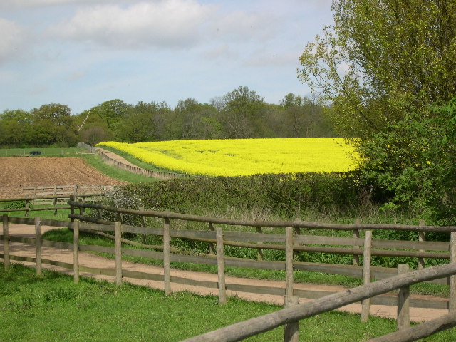
Tyttenhanger is also renowned for its natural beauty. The village is nestled within a green belt area, surrounded by open fields and woodland. It offers numerous opportunities for outdoor activities, such as hiking, cycling, and bird watching. The nearby Tyttenhanger Gravel Pits Nature Reserve is a popular spot for nature enthusiasts, boasting a diverse range of wildlife and habitats.
In summary, Tyttenhanger is a charming village in Hertfordshire that offers a peaceful and scenic living environment. With its rich history, close community, and stunning surroundings, it is a hidden gem for those seeking a quieter lifestyle within reach of urban amenities.
If you have any feedback on the listing, please let us know in the comments section below.
Tyttenhanger Images
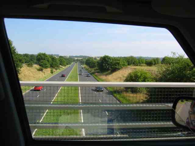
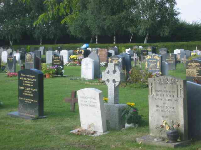
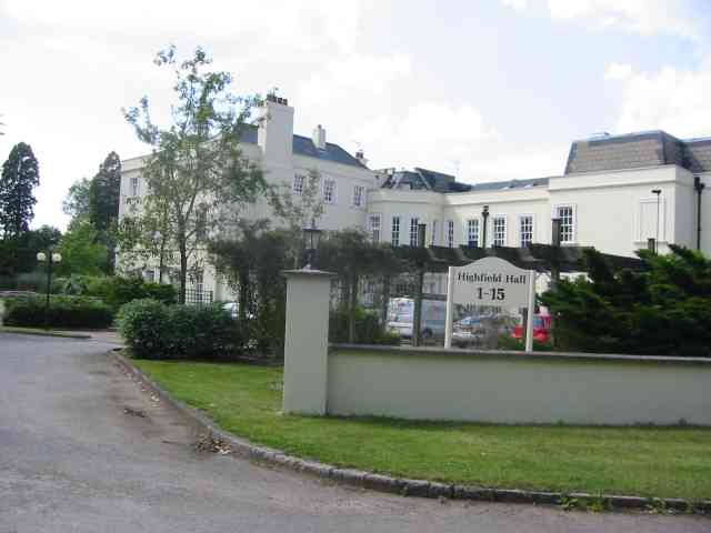
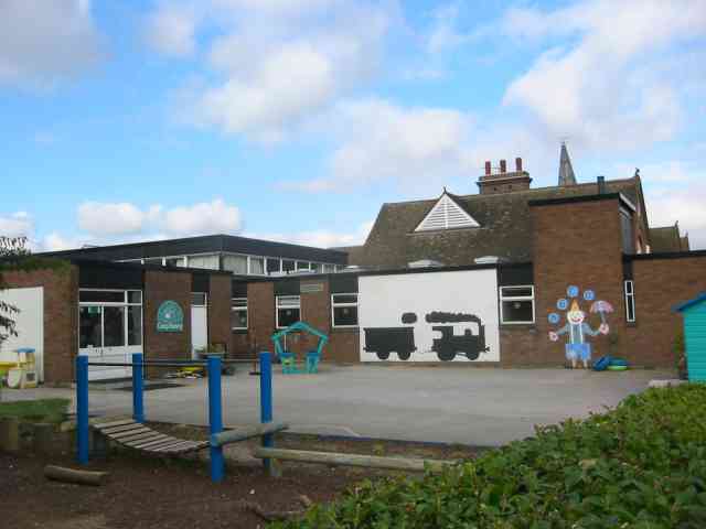
Images are sourced within 2km of 51.738462/-0.29401836 or Grid Reference TL1705. Thanks to Geograph Open Source API. All images are credited.


Tyttenhanger is located at Grid Ref: TL1705 (Lat: 51.738462, Lng: -0.29401836)
Administrative County: Hertfordshire
District: St. Albans
Police Authority: Hertfordshire
What 3 Words
///scuba.given.outfit. Near St Albans, Hertfordshire
Nearby Locations
Related Wikis

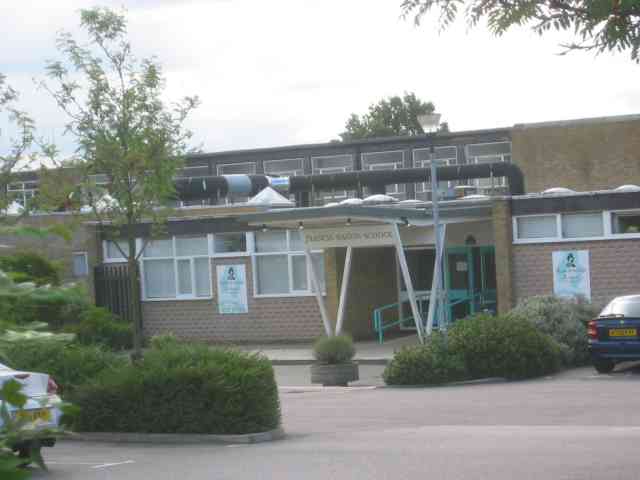
Nicholas Breakspear School
Nicholas Breakspear Catholic School (NBS) is a secondary school with academy status situated on the rural fringe of St Albans, an old Roman city in Hertfordshire...
St Peter Rural
St Peter Rural was a civil parish in Hertfordshire, England from 1894 to 1947. The local council was St Peter Rural Parish Council. It was created under...
Samuel Ryder Academy
Samuel Ryder Academy (also known as SRA and formerly Francis Bacon School) is a mixed all-through school located in St Albans in South Hertfordshire, England...
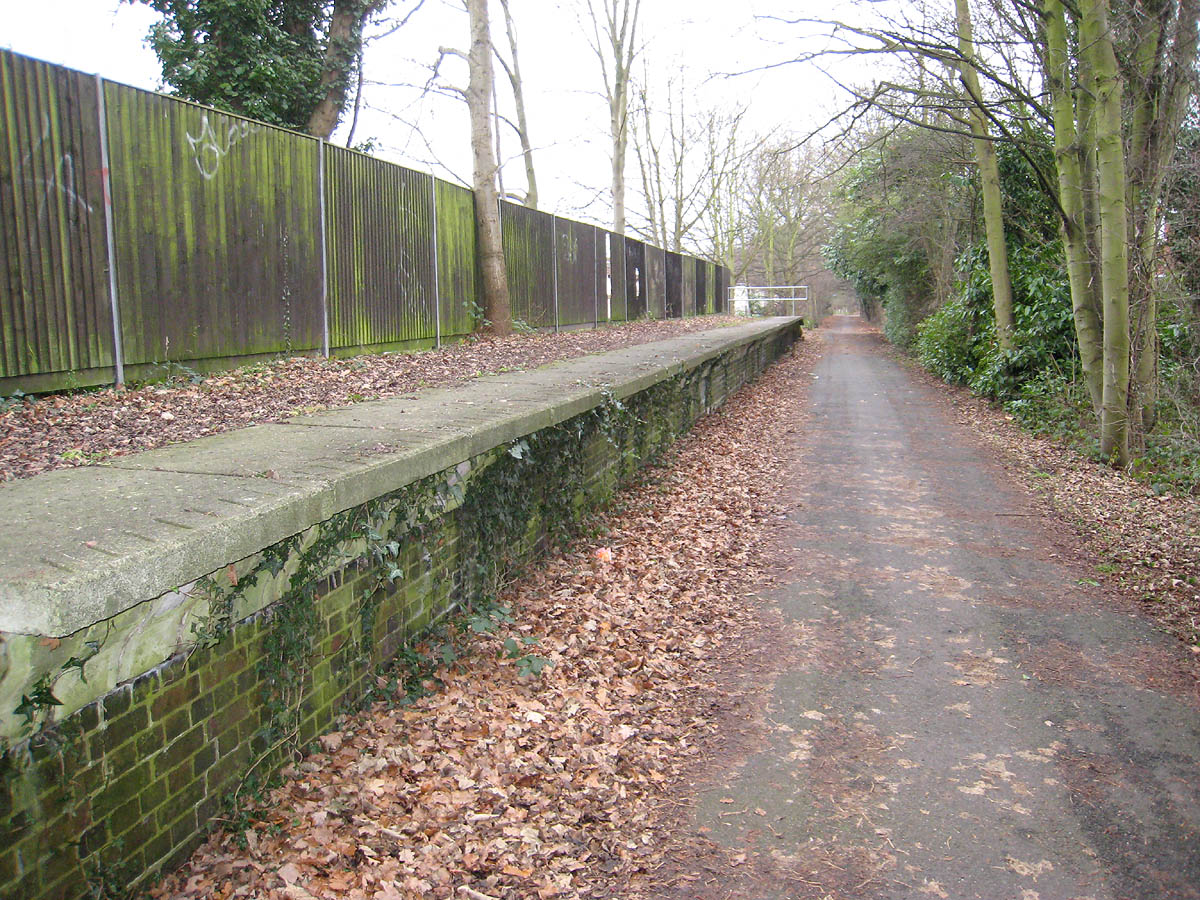
Hill End railway station
Hill End railway station was on the Great Northern Railway branch from Hatfield to St Albans in Hertfordshire, England. == History == The station, which...
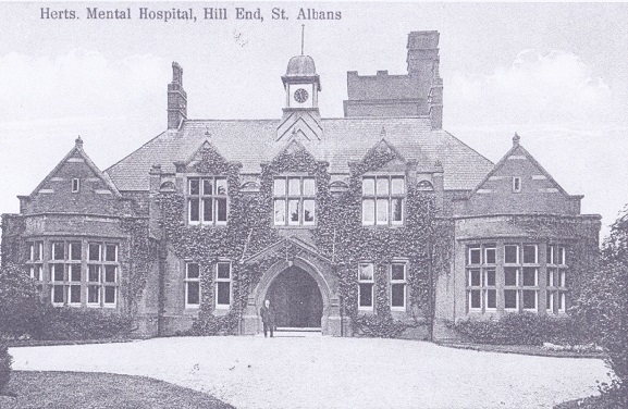
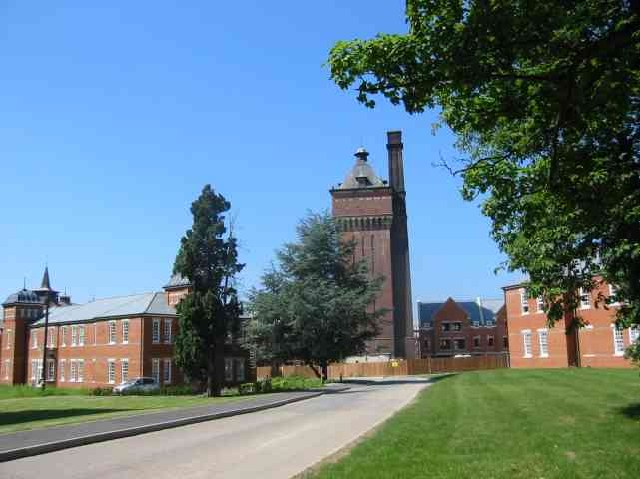
Hill End Hospital
Hill End Hospital was a mental health facility in St Albans in Hertfordshire, England. == History == The hospital, which was designed by George Thomas...
London Colney F.C.
London Colney Football Club is a football club based in London Colney, near St Albans, England. They are currently members of the Combined Counties League...

London Colney
London Colney () is a village and civil parish in Hertfordshire, England. It is located to the north of London, close to Junction 22 of the M25 motorway...

Tyttenhanger House
Tyttenhanger House is a 17th-century country mansion, now converted into commercial offices, at Tyttenhanger, near St Albans, Hertfordshire. It is a Grade...
Nearby Amenities
Located within 500m of 51.738462,-0.29401836Have you been to Tyttenhanger?
Leave your review of Tyttenhanger below (or comments, questions and feedback).