Warnham Mill Pond
Lake, Pool, Pond, Freshwater Marsh in Sussex Horsham
England
Warnham Mill Pond

Warnham Mill Pond is a picturesque freshwater body located in Warnham, a village in the county of Sussex, England. Spanning an area of approximately 6.5 acres, the pond serves as a vital habitat for a diverse range of flora and fauna, making it an important conservation site.
The pond is fed by a small stream originating from the nearby Strood Green and is surrounded by lush vegetation, including reeds, rushes, and water lilies. The dense vegetation provides shelter and nesting sites for various bird species, such as coots, moorhens, and mallards. Additionally, the pond attracts a multitude of insects, making it an ideal feeding ground for dragonflies and damselflies.
Warnham Mill Pond is renowned for its tranquil atmosphere and serene beauty, offering visitors a peaceful escape from the hustle and bustle of everyday life. The area surrounding the pond is well-maintained and features designated footpaths and seating areas, allowing visitors to fully appreciate the natural surroundings.
The pond also holds historical significance, as it was originally created in the 19th century to provide water power for Warnham Mill, which is situated nearby. Although the mill is no longer operational, remnants of the original water wheel can still be seen.
Overall, Warnham Mill Pond is a haven for wildlife enthusiasts, photographers, and nature lovers alike. Its abundant flora and fauna, combined with its historical charm, make it a cherished spot within the Sussex countryside.
If you have any feedback on the listing, please let us know in the comments section below.
Warnham Mill Pond Images
Images are sourced within 2km of 51.079279/-0.33089705 or Grid Reference TQ1732. Thanks to Geograph Open Source API. All images are credited.


Warnham Mill Pond is located at Grid Ref: TQ1732 (Lat: 51.079279, Lng: -0.33089705)
Administrative County: West Sussex
District: Horsham
Police Authority: Sussex
What 3 Words
///robots.rips.reject. Near Warnham, West Sussex
Nearby Locations
Related Wikis

Warnham LNR
Warnham LNR is a 38.4-hectare (95-acre) Local Nature Reserve in Horsham in West Sussex. It is owned and managed by Horsham District Council.The principal...
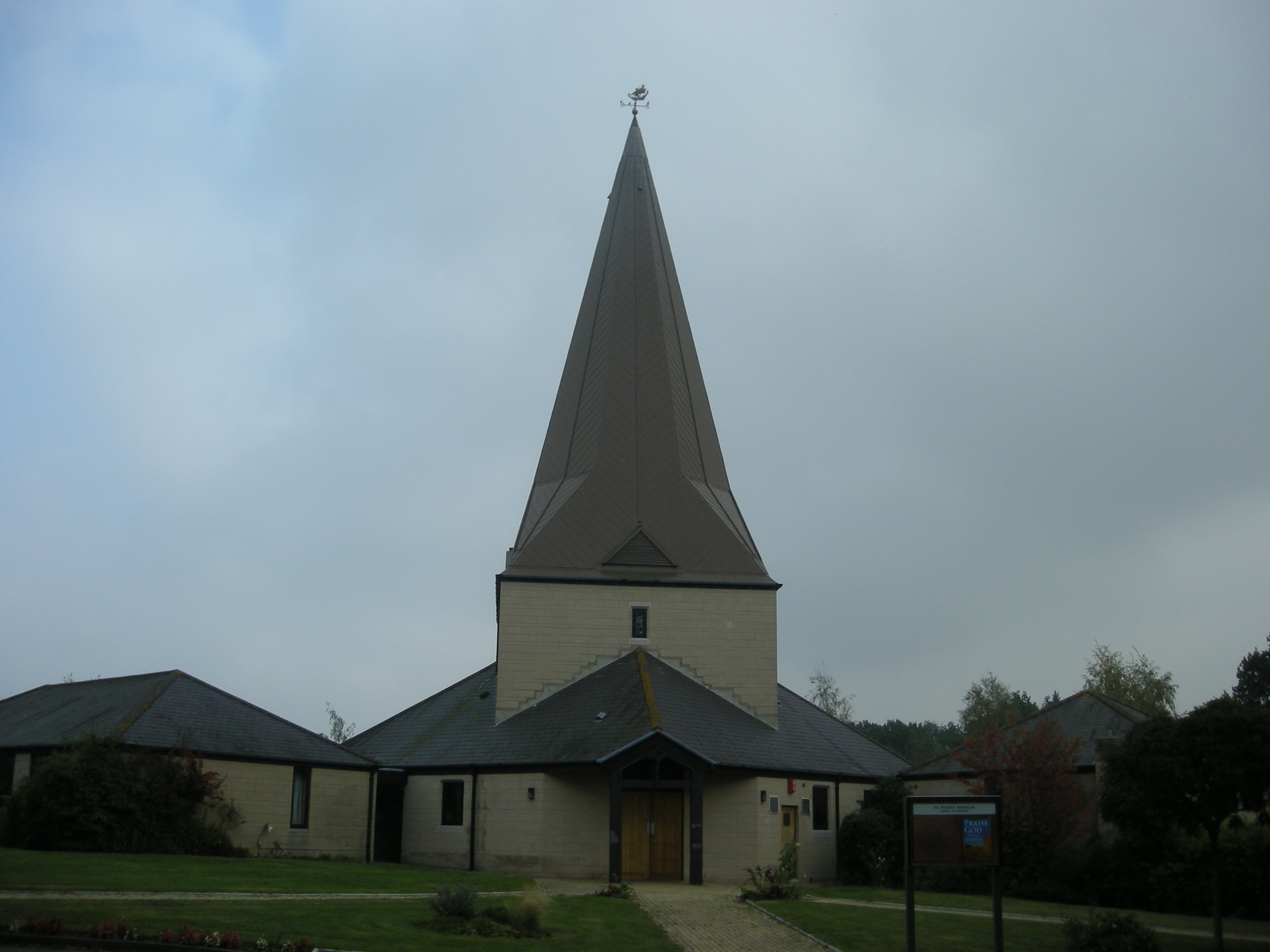
St Mark's Church, Horsham
St Mark's Church is an Anglican church situated on North Heath Lane in the newly created Parish and Benefice of Holbrook in the district of Horsham, West...

E. Tredcroft's Ground
E. Tredcroft's Ground was a cricket ground at the Warnham Court estate, located at Horsham, Sussex. The first recorded match on the ground was in 1851...

The College of Richard Collyer
The College of Richard Collyer (colloquially Collyer's ), formerly called Collyer's School, is a co-educational sixth form college in Horsham, West Sussex...

Horsham Hospital
Horsham Hospital is a health facility at Hurst Road in Horsham, West Sussex, England. It is managed by Sussex Community NHS Foundation Trust. == History... ==
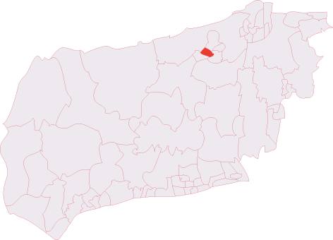
Horsham Hurst (electoral division)
Horsham Hurst is an electoral division of West Sussex in the United Kingdom and returns one member to sit on West Sussex County Council. == Extent == The...

Warnham railway station
Warnham railway station serves the village of Warnham in West Sussex, England. It is 33 miles 46 chains (54.0 km) measured from London Waterloo (although...
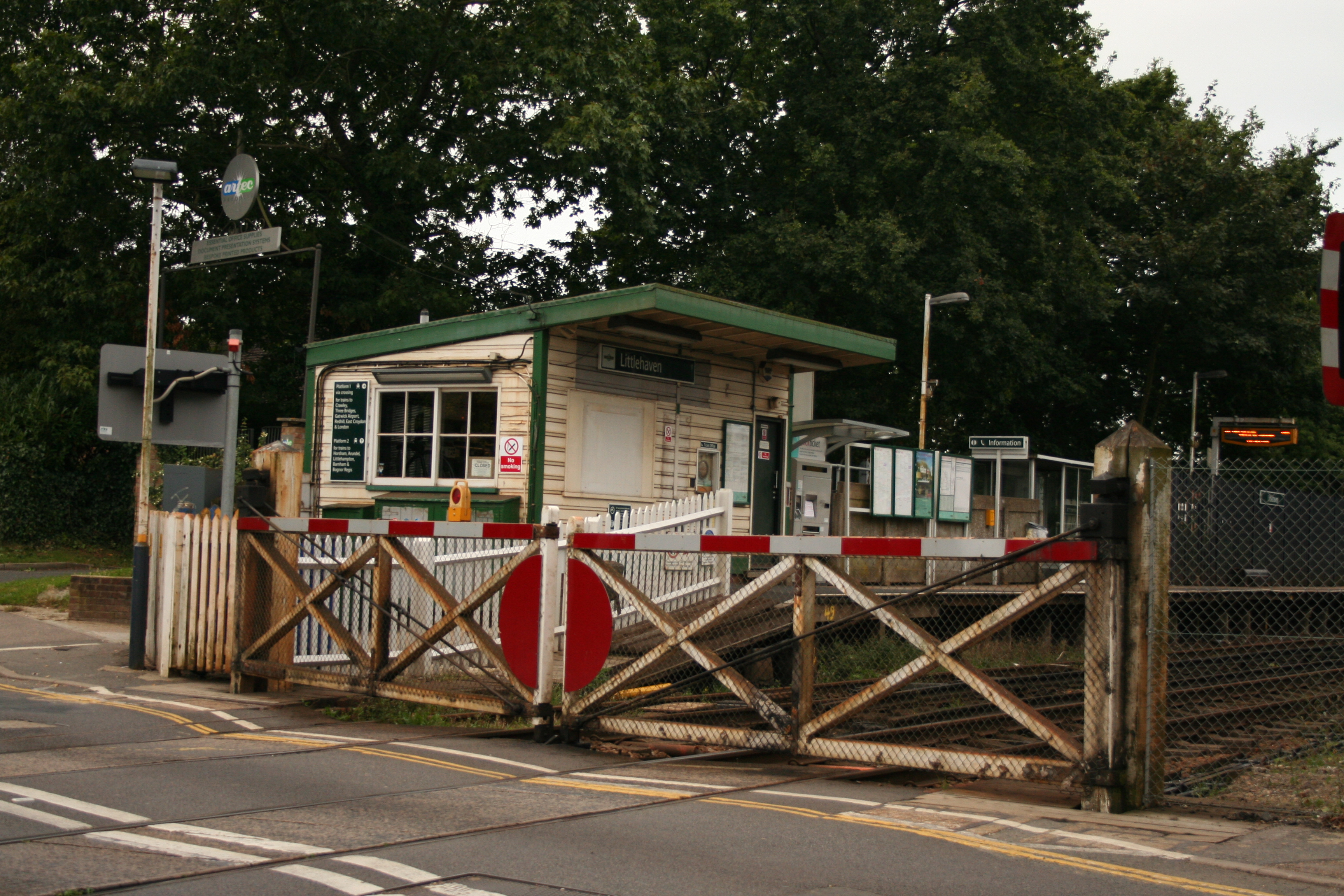
Littlehaven railway station
Littlehaven railway station serves the areas of Littlehaven, Holbrook and Roffey in the northeast of the town of Horsham, West Sussex, England. It is on...
Nearby Amenities
Located within 500m of 51.079279,-0.33089705Have you been to Warnham Mill Pond?
Leave your review of Warnham Mill Pond below (or comments, questions and feedback).