Millpond Plantation

Wood, Forest in Sussex Horsham

England

Millpond Plantation

New bridleway off Bell Lane The footpath leading south-east off Bell Lane to the old Dorking Road (now sequestered by the A24 dual carriageway) has recently been upgraded to bridleway, no. 3647_1.
New bridleway off Bell Lane Credit: Hugh Craddock

Millpond Plantation, Sussex, is a picturesque woodland retreat located in the heart of the Sussex countryside, England. The plantation spans over a vast area of lush green forests, offering visitors a tranquil and serene environment to escape the hustle and bustle of city life.

The centerpiece of Millpond Plantation is a beautiful millpond, surrounded by towering trees and vibrant flora. The pond serves as a haven for wildlife, attracting a variety of bird species and aquatic creatures. Visitors can enjoy leisurely walks along the pond's edge, taking in the breathtaking natural scenery.

The woodland itself is a diverse mix of native and exotic tree species, including oak, beech, and pine, creating a rich tapestry of colors throughout the year. Nature enthusiasts will delight in the abundance of wildlife that call Millpond Plantation home, from deer and foxes to a myriad of bird species. Birdwatchers can spot rare and migratory birds nesting in the trees or feeding by the pond.

Millpond Plantation offers a range of outdoor activities for visitors to enjoy. Hiking trails wind through the forest, providing opportunities for exploration and discovery. There are also designated picnic areas and barbecue spots, perfect for enjoying a meal amidst nature. Additionally, the plantation offers camping facilities, allowing visitors to spend a night under the starry skies and awaken to the sounds of nature.

Overall, Millpond Plantation in Sussex is a haven of natural beauty and tranquility. Whether you are seeking a peaceful retreat or an adventurous outdoor experience, this woodland paradise has something to offer for everyone.

If you have any feedback on the listing, please let us know in the comments section below.

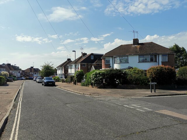
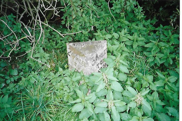
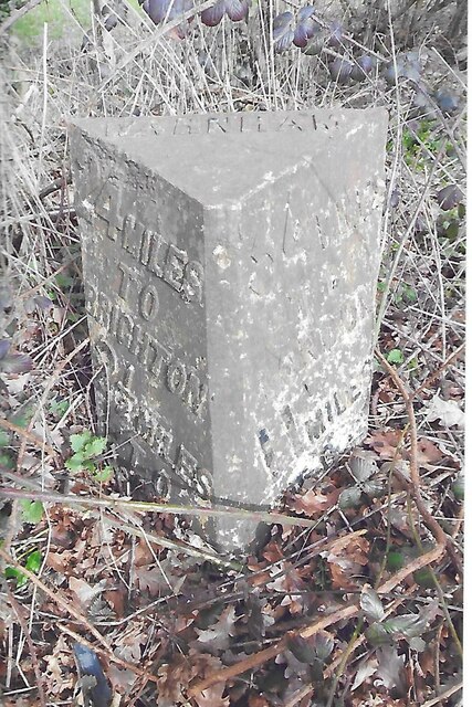
Millpond Plantation Images

Images are sourced within 2km of 51.082323/-0.32680413 or Grid Reference TQ1732. Thanks to Geograph Open Source API. All images are credited.

New bridleway off Bell Lane The footpath leading south-east off Bell Lane to the old Dorking Road (now sequestered by the A24 dual carriageway) has recently been upgraded to bridleway, no. 3647_1.
New bridleway off Bell Lane
The footpath leading south-east off Bell Lane to the old Dorking Road (now sequestered by the A24 dual carriageway) has recently been upgraded to bridleway, no. 3647_1.
Streets of Horsham Junction of Curzon Avenue and Vale Drive.
Streets of Horsham
Junction of Curzon Avenue and Vale Drive.
Old Milestone by A24, Andrews Farm The Milestone is located by the road.  Parish of Warnham (Horsham District). Cast iron post, Horsham post design, erected by the Horsham & Dorking turnpike trust in the 19th Century. An earlier photograph can be found here: <a title="https://www.geograph.org.uk/photo/1596429" href="https://www.geograph.org.uk/photo/1596429">Link</a> 

Inscription reads:-  
24 MILES / TO / BRIGHTON / 2½ / TO / HORSHAM : : 34 MILES / TO / LONDON / 11 / MILES TO / DORKING : : WARNHAM  

Milestone Society National ID: SX_LA34
Old Milestone by A24, Andrews Farm
The Milestone is located by the road.  Parish of Warnham (Horsham District). Cast iron post, Horsham post design, erected by the Horsham & Dorking turnpike trust in the 19th Century. An earlier photograph can be found here: Link  Inscription reads:- 24 MILES / TO / BRIGHTON / 2½ / TO / HORSHAM : : 34 MILES / TO / LONDON / 11 / MILES TO / DORKING : : WARNHAM Milestone Society National ID: SX_LA34
Old Milestone by A24, Andrews Farm The Milestone is located by the road.  Parish of Warnham (Horsham District). Cast iron post, Horsham post design, erected by the Horsham & Dorking turnpike trust in the 19th Century. An earlier photograph can be found here: <a title="https://www.geograph.org.uk/photo/7429171" href="https://www.geograph.org.uk/photo/7429171">Link</a> 

Inscription reads:-  
24 MILES / TO / BRIGHTON / 2½ / TO / HORSHAM : : 34 MILES / TO / LONDON / 11 / MILES TO / DORKING : : WARNHAM  

Milestone Society National ID: SX_LA34
Old Milestone by A24, Andrews Farm
The Milestone is located by the road.  Parish of Warnham (Horsham District). Cast iron post, Horsham post design, erected by the Horsham & Dorking turnpike trust in the 19th Century. An earlier photograph can be found here: Link  Inscription reads:- 24 MILES / TO / BRIGHTON / 2½ / TO / HORSHAM : : 34 MILES / TO / LONDON / 11 / MILES TO / DORKING : : WARNHAM Milestone Society National ID: SX_LA34
School Hill, Warnham School Hill in the village of Warnham, in West Sussex
School Hill, Warnham
School Hill in the village of Warnham, in West Sussex
Timber-framed outbuilding at Bailing Hill Farm - with antler trophies Bailing Hill (on the Warnham Park estate) is currently run as a deer farm - hence the antler trophies.  Apart from the smallish trophies fixed to the first-floor frame, notice the huge pair of antlers on the ground at the far end of the building.   <span class="nowrap"><a title="http://www.warnhampark.com/" rel="nofollow ugc noopener" href="http://www.warnhampark.com/">Link</a><img style="margin-left:2px;" alt="External link" title="External link - shift click to open in new window" src="https://s1.geograph.org.uk/img/external.png" width="10" height="10"/></span>
Timber-framed outbuilding at Bailing Hill Farm - with antler trophies
Bailing Hill (on the Warnham Park estate) is currently run as a deer farm - hence the antler trophies. Apart from the smallish trophies fixed to the first-floor frame, notice the huge pair of antlers on the ground at the far end of the building. LinkExternal link
Former school, by Warnham village green A Victorian school building, overlooking the village green from the east.
Former school, by Warnham village green
A Victorian school building, overlooking the village green from the east.
Mid-18th century tombstone, Warnham churchyard The name is JOHN AGATE (if I've read it correctly) and the date July 1748.  The jawless skull is pretty typical of the rather heartless imagery to be found on 18th century tombstones.
Mid-18th century tombstone, Warnham churchyard
The name is JOHN AGATE (if I've read it correctly) and the date July 1748. The jawless skull is pretty typical of the rather heartless imagery to be found on 18th century tombstones.
Weathersalmon on Robin Hood Lane
Bend on Robin Hood Lane with barn
Bends on Robin Hood Lane with house See also <a title="https://www.geograph.org.uk/photo/2475483" href="https://www.geograph.org.uk/photo/2475483">Link</a> from 2011.
Bends on Robin Hood Lane with house
See also Link from 2011.
Tunnel under the A24 or bridge carrying the A24 It's whichever way you want to look at it.
The lower road is a footpath which gives vehicular access to Rookwood Golf Centre.
A very similar picture is at <a title="https://www.geograph.org.uk/photo/2475488" href="https://www.geograph.org.uk/photo/2475488">Link</a>.
Tunnel under the A24 or bridge carrying the A24
It's whichever way you want to look at it. The lower road is a footpath which gives vehicular access to Rookwood Golf Centre. A very similar picture is at Link.
The west end of Station Road
Looking northwards on the A24
The A24 crosses Andrew's Gill at Slaughter Bridge See also <a title="https://www.geograph.org.uk/photo/3029586" href="https://www.geograph.org.uk/photo/3029586">Link</a>.
The A24 crosses Andrew's Gill at Slaughter Bridge
See also Link.
Andrew's Gill by the A24
Graylands lodge at the entrance to Graylands Industrial Estate I could not tell whether the lodge is used as a dwelling or as business premises.
See also <a title="https://www.geograph.org.uk/photo/4010889" href="https://www.geograph.org.uk/photo/4010889">Link</a>.
Graylands lodge at the entrance to Graylands Industrial Estate
I could not tell whether the lodge is used as a dwelling or as business premises. See also Link.
Road sweeper vehicle on Langhurstwood Road
Show me another place!

Millpond Plantation is located at Grid Ref: TQ1732 (Lat: 51.082323, Lng: -0.32680413)

Administrative County: West Sussex

District: Horsham

Police Authority: Sussex

What 3 Words

///famed.beard.dose. Near Warnham, West Sussex

Related Wikis

Warnham LNR

Warnham LNR is a 38.4-hectare (95-acre) Local Nature Reserve in Horsham in West Sussex. It is owned and managed by Horsham District Council.The principal...

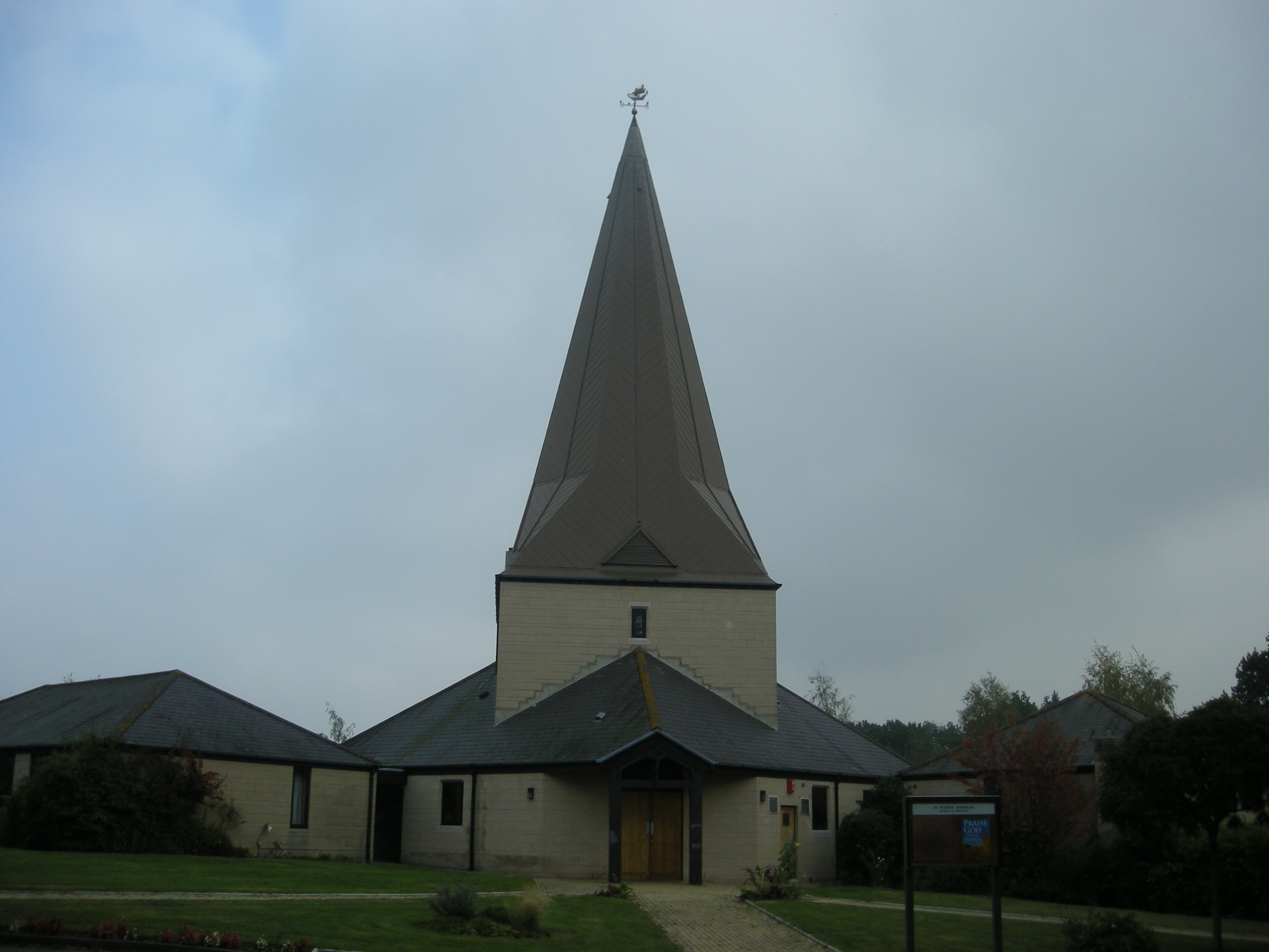
St Mark's Church, Horsham

St Mark's Church is an Anglican church situated on North Heath Lane in the newly created Parish and Benefice of Holbrook in the district of Horsham, West...

E. Tredcroft's Ground

E. Tredcroft's Ground was a cricket ground at the Warnham Court estate, located at Horsham, Sussex. The first recorded match on the ground was in 1851...

Warnham railway station

Warnham railway station serves the village of Warnham in West Sussex, England. It is 33 miles 46 chains (54.0 km) measured from London Waterloo (although...

Graylands

Graylands is a hamlet in the Horsham district of West Sussex, England. The largely rural hamlet is located north of Holbrook beyond the A264. It is bordered...

Old Holbrook

Old Holbrook (formerly known as Northlands) is a hamlet in the Horsham district of West Sussex, England. This rural hamlet is located north of the Horsham...

The College of Richard Collyer

The College of Richard Collyer (colloquially Collyer's ), formerly called Collyer's School, is a co-educational sixth form college in Horsham, West Sussex...

Holbrook (electoral division)

Holbrook is an electoral division of West Sussex in the United Kingdom and returns one member to sit on West Sussex County Council. The current County...

Nearby Amenities

Located within 500m of 51.082323,-0.32680413
Source: Landsat photo
Lat/Long: 51.0847498/-0.323912
Source: Landsat photo
Lat/Long: 51.0825691/-0.3237971
Post Box
Collection Plate: CP1D
Collection Times: Mo-Fr 09:00; Sa 07:00
Operator: Royal Mail
Post Box Type: pillar
Ref: RH12 192D
Royal Cypher: GVIR
Royal Cypher Wikidata: Q33102169
Lat/Long: 51.0804699/-0.3235339
Booth: K6
Removed Amenity: telephone
Lat/Long: 51.0817388/-0.3225614
Post Box
Brand: Royal Mail
Brand Wikidata: Q638098
Collection Plate: CP7D
Collection Times: Mo-Fr 09:00; Sa 07:00
Operator: Royal Mail
Operator Wikidata: Q638098
Post Box Design: converted_bag_box
Post Box Type: lamp
Ref: RH12 222D
Royal Cypher: no
Lat/Long: 51.078318/-0.3276292
Bus Stop
Rising Sun
Naptan AtcoCode: 4400HO0093
Naptan Bearing: N
Naptan CommonName: Rising Sun PH
Naptan Indicator: Rising Sun
Naptan Landmark: Pondtail Close
Naptan NaptanCode: wsxaptwg
Naptan Street: Pondtail Road
Naptan Verified: no
Public Transport: platform
Source: naptan_import
Lat/Long: 51.0799918/-0.3239817
Bus Stop
Pondtail Bridge
Bus: yes
Naptan AtcoCode: 4400HO0094
Naptan Bearing: N
Naptan CommonName: Pondtail Bridge
Naptan Indicator: adj Gorringes Brook
Naptan Landmark: Gorringes Brook
Naptan NaptanCode: wsxaptwj
Naptan Street: Pondtail Road
Naptan Verified: no
Public Transport: platform
Source: naptan_import
Lat/Long: 51.0829473/-0.322083
Mini Roundabout
Lat/Long: 51.080809/-0.3235531
Source: Landsat
Lat/Long: 51.0798915/-0.3323223
Source: Landsat
Lat/Long: 51.0788715/-0.3304074
Warnhamplace Farm
Place: farm
Lat/Long: 51.0861671/-0.3271905
Source: Landsat
Lat/Long: 51.0810976/-0.3284556
Source: Landsat
Lat/Long: 51.0802472/-0.3295888
Railway: signal
Lat/Long: 51.0840202/-0.3238324
Railway: milestone
Lat/Long: 51.0844717/-0.3237954
The data included in this document is from www.openstreetmap.org. The data is made available under ODbL.

Have you been to Millpond Plantation?

Leave your review of Millpond Plantation below (or comments, questions and feedback).