Desborough Channel
Lake, Pool, Pond, Freshwater Marsh in Surrey Elmbridge
England
Desborough Channel
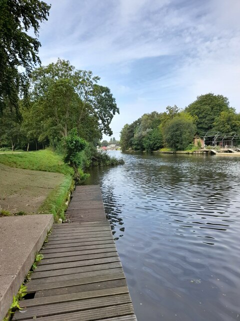
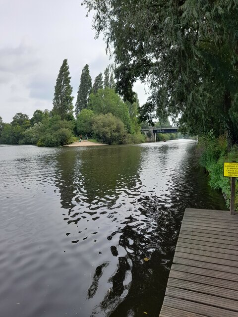
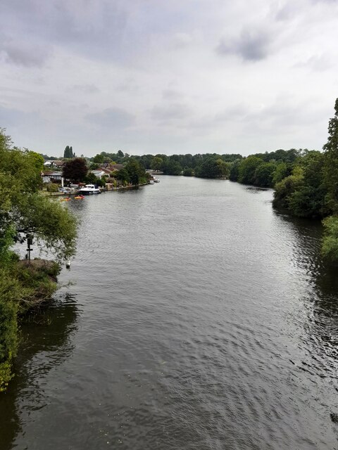
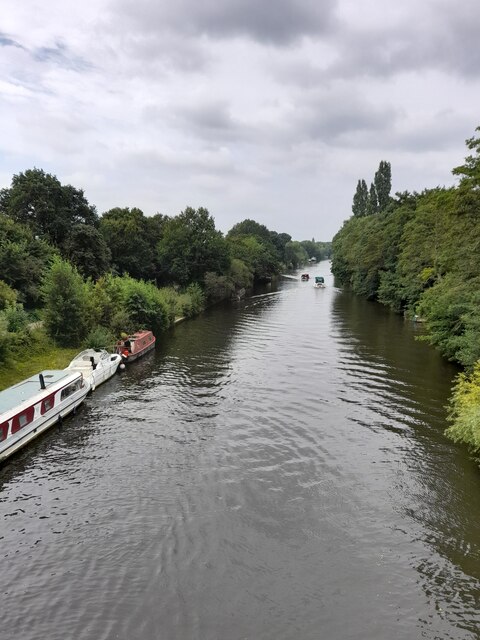
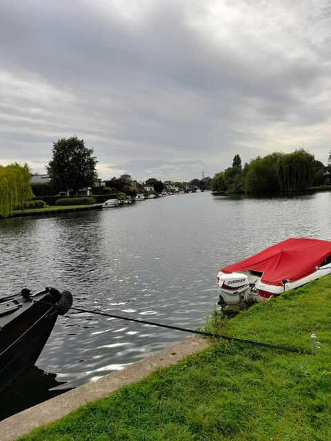
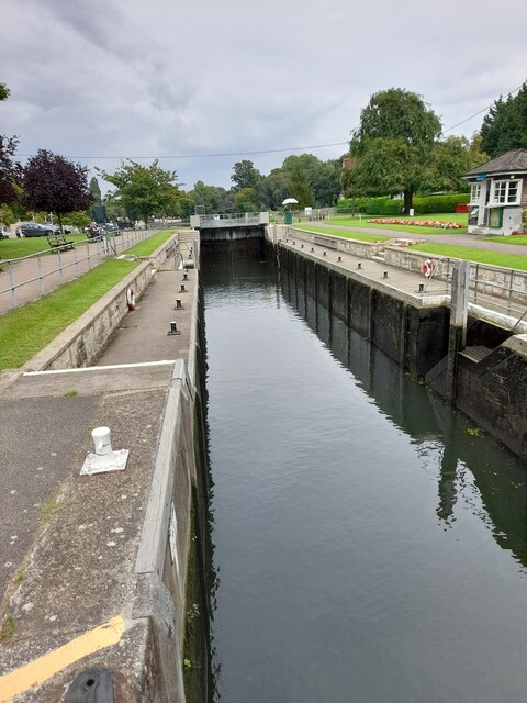
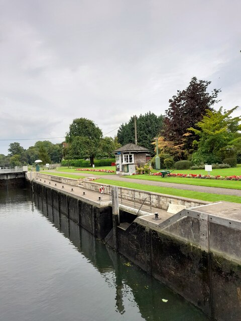
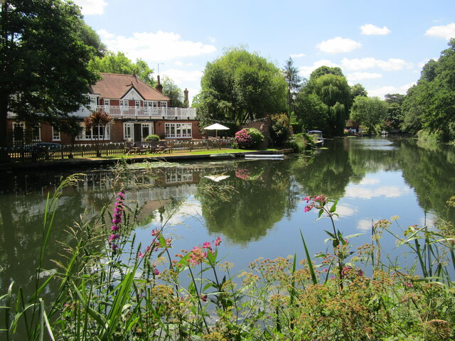
Desborough Channel, located in Surrey, England, is a picturesque water body that serves multiple purposes. Spanning approximately 3.5 kilometers in length, it is often referred to as a lake, pool, pond, or freshwater marsh due to its diverse characteristics.
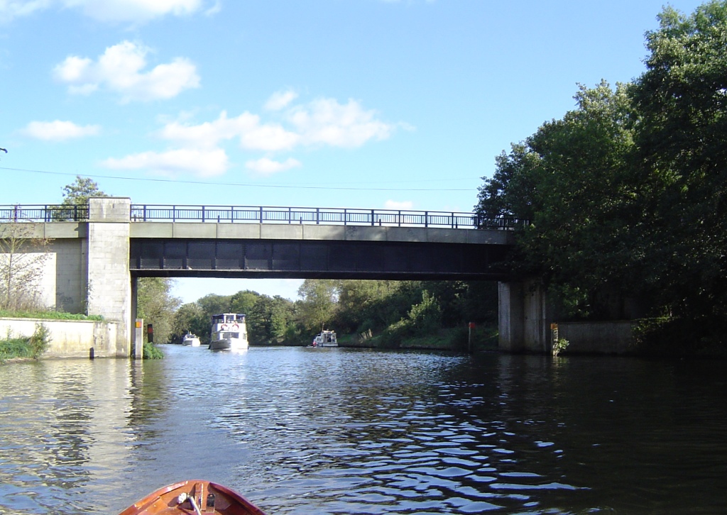
The channel is primarily fed by the River Thames, acting as a flood relief channel to manage excessive water flow during periods of heavy rainfall. This function plays a crucial role in safeguarding neighboring areas from floods, as it effectively diverts excess water away from residential and commercial spaces.
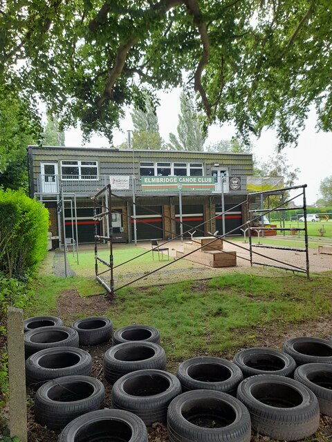
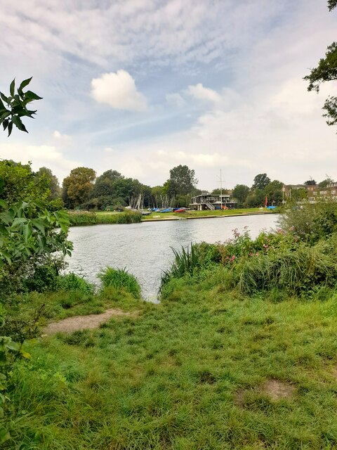
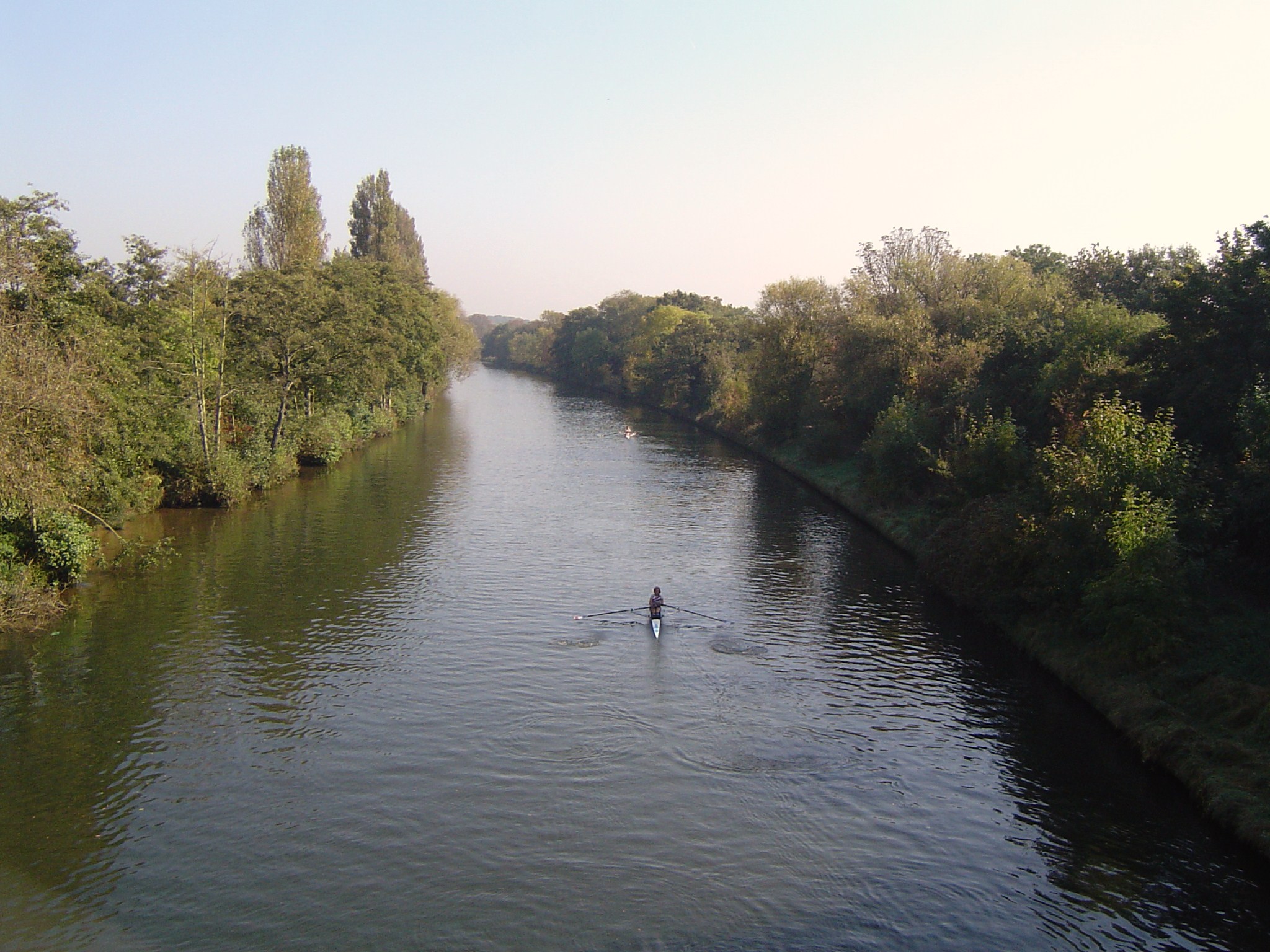
Desborough Channel is home to a variety of wildlife, making it a haven for nature enthusiasts and birdwatchers. The area is teeming with waterfowl, including ducks, swans, and geese, which can be spotted gliding gracefully across the calm waters. Additionally, the marshy margins of the channel provide a habitat for numerous species of fish, amphibians, and insects.
The channel is also a popular spot for recreational activities such as fishing, boating, and leisurely walks along the water's edge. Anglers are attracted to the abundance of fish, particularly pike and carp, making it an ideal destination for fishing enthusiasts.
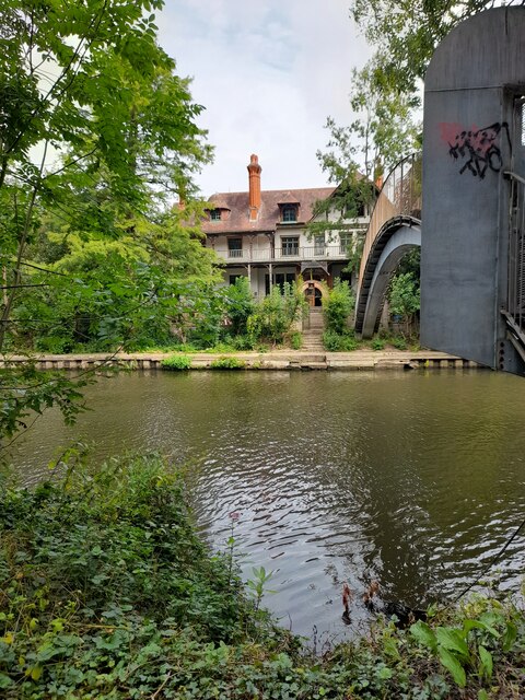
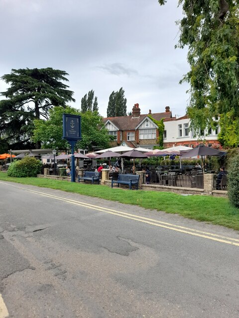
Surrounded by lush greenery and scenic views, Desborough Channel offers a tranquil escape from urban life. Its smooth, reflective surface mirrors the surrounding landscape, creating a serene atmosphere for visitors to unwind and connect with nature.
Overall, Desborough Channel in Surrey is a versatile water body, serving as a flood relief channel, a thriving habitat for wildlife, and a recreational hotspot for outdoor enthusiasts. Its natural beauty and ecological significance make it a cherished location for locals and visitors alike.
If you have any feedback on the listing, please let us know in the comments section below.
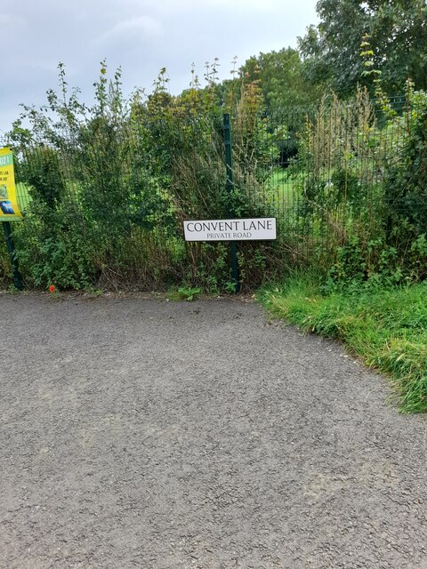
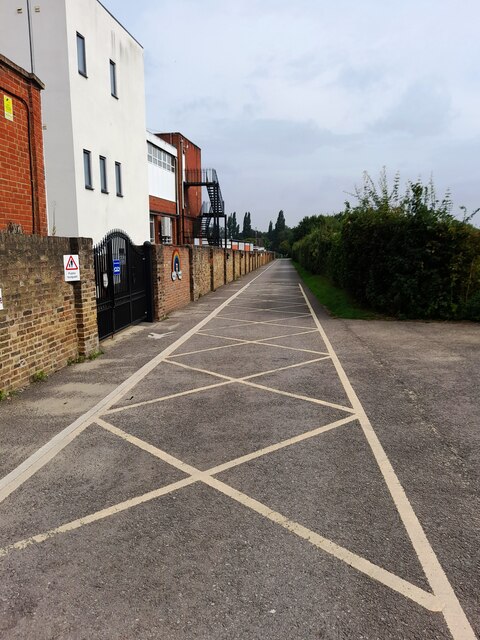
Desborough Channel Images
Images are sourced within 2km of 51.3832/-0.44088023 or Grid Reference TQ0866. Thanks to Geograph Open Source API. All images are credited.

Desborough Channel is located at Grid Ref: TQ0866 (Lat: 51.3832, Lng: -0.44088023)
Administrative County: Surrey
District: Elmbridge
Police Authority: Surrey
What 3 Words
///send.edge.acting. Near Shepperton, Surrey
Nearby Locations
Related Wikis
Desborough Cut
The Desborough Cut is an artificial channel in the River Thames above Sunbury Lock near Walton on Thames in England. It was completed in 1935, to improve...
Desborough Island
Desborough Island is a 112-acre (0.45 km2) manmade island in the River Thames on the reach above Sunbury Lock in Surrey, England. It was formed in the...

Chertsey and Walton (UK Parliament constituency)
Chertsey and Walton was a late 20th century parliamentary constituency in Surrey which returned one Member of Parliament (MP) to the House of Commons of...
Old Walton Bridge
Old Walton Bridge is the name given to the first Walton Bridge built across the River Thames between Walton-on-Thames and Shepperton in Surrey, England...
Nearby Amenities
Located within 500m of 51.3832,-0.44088023Have you been to Desborough Channel?
Leave your review of Desborough Channel below (or comments, questions and feedback).