Bedfont Lake
Lake, Pool, Pond, Freshwater Marsh in Middlesex
England
Bedfont Lake
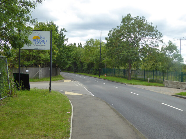
Bedfont Lake is a man-made freshwater body located in Middlesex, England. It is situated within the Bedfont Lakes Country Park and covers an area of approximately 50 acres. The lake was created in the 1980s by excavating the area for gravel extraction, and it has since become an important site for wildlife and recreational activities.
The lake itself is surrounded by lush greenery and is home to a diverse range of flora and fauna. The water is clear and supports a variety of aquatic plants, including lilies and reeds, which provide habitats for fish, birds, and insects. Additionally, the lake acts as a natural filter, helping to improve water quality and maintain a healthy ecosystem.
Bedfont Lake is a popular spot for angling enthusiasts, offering opportunities to catch a variety of fish species, including carp, pike, and tench. Fishing permits are available for purchase, and the lake is regularly stocked to ensure a sustainable fish population.
Aside from fishing, the lake also attracts birdwatchers and nature enthusiasts. The surrounding parkland and wetland areas provide habitats for numerous bird species, such as swans, herons, and ducks, making it an ideal location for bird spotting.
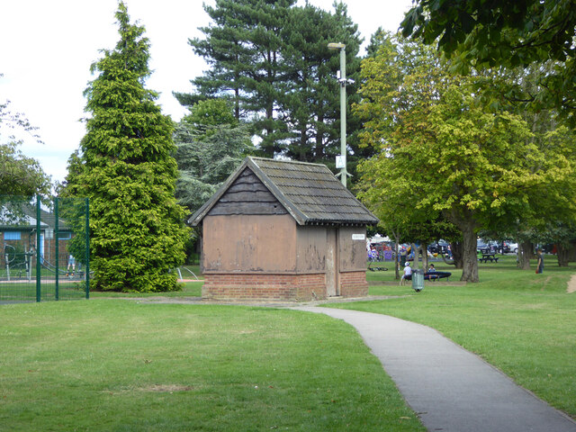
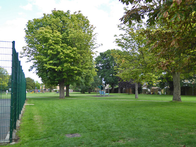
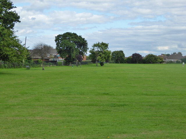
The lake is easily accessible, with ample parking facilities and well-maintained footpaths and picnic areas. It offers a tranquil setting, allowing visitors to relax and enjoy the natural beauty of the surroundings. Whether it's a peaceful walk along the lakeside, a leisurely picnic with family and friends, or a day of fishing, Bedfont Lake provides a serene escape from the bustling city life of Middlesex.
If you have any feedback on the listing, please let us know in the comments section below.
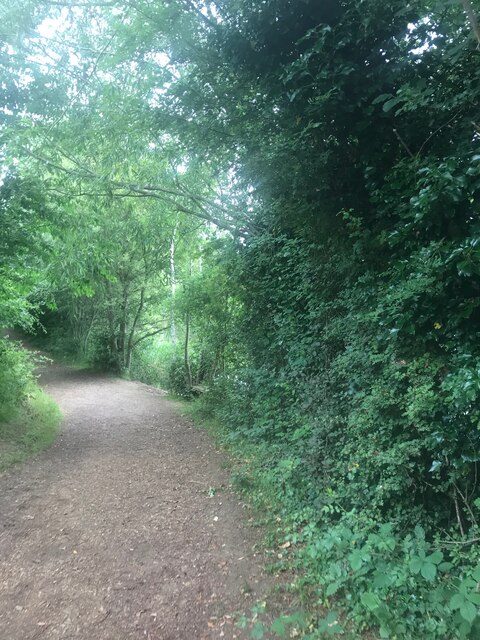
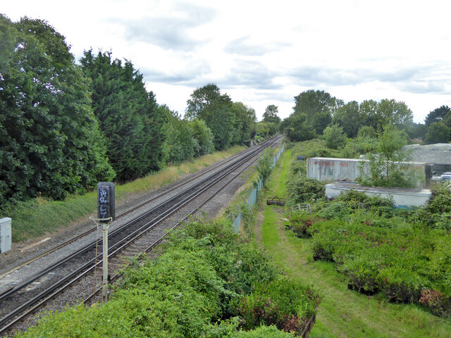
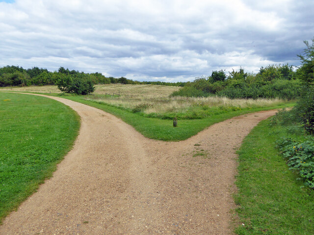
Bedfont Lake Images
Images are sourced within 2km of 51.445463/-0.43683243 or Grid Reference TQ0872. Thanks to Geograph Open Source API. All images are credited.

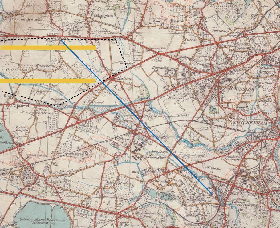
Bedfont Lake is located at Grid Ref: TQ0872 (Lat: 51.445463, Lng: -0.43683243)
Unitary Authority: Hounslow
Police Authority: Metropolitan
What 3 Words
///poetic.wicked.album. Near Feltham, London
Nearby Locations
Related Wikis
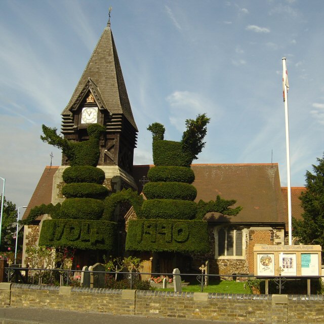
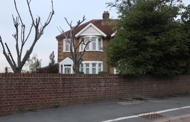
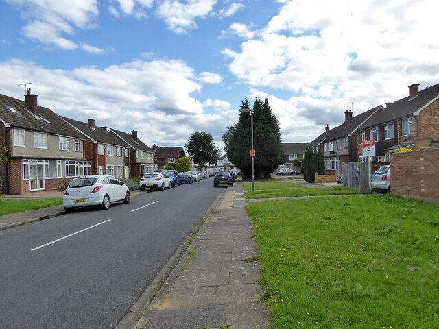
Bedfont
Bedfont is a suburb in the London Borough of Hounslow, approximately 15 miles (24 km) west of Charing Cross. Originally a distinct village, Bedfont has...
HM Prison Feltham
Feltham Young Offenders Institution (more commonly known as HM Prison Feltham) is a prison for male juveniles and Young Offenders Institution, occupying...

Radio Feltham
Radio Feltham was the first prison radio station in Europe, operating in HM Prison Feltham, a male juvenile prison and Young Offenders Institution in west...

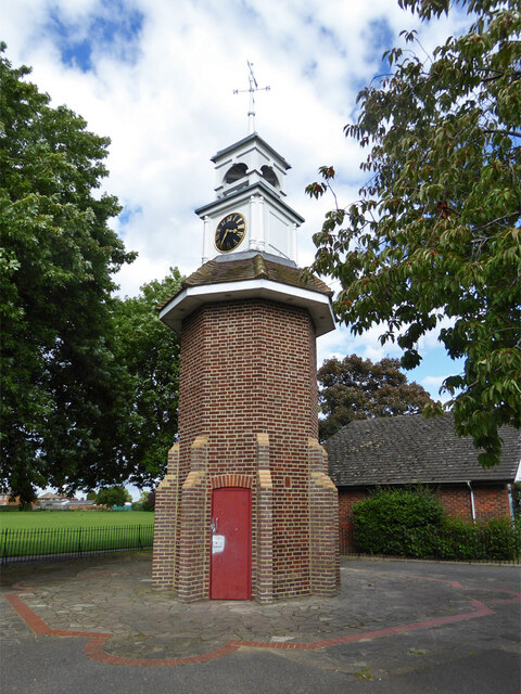
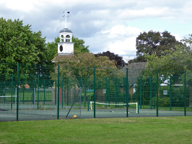
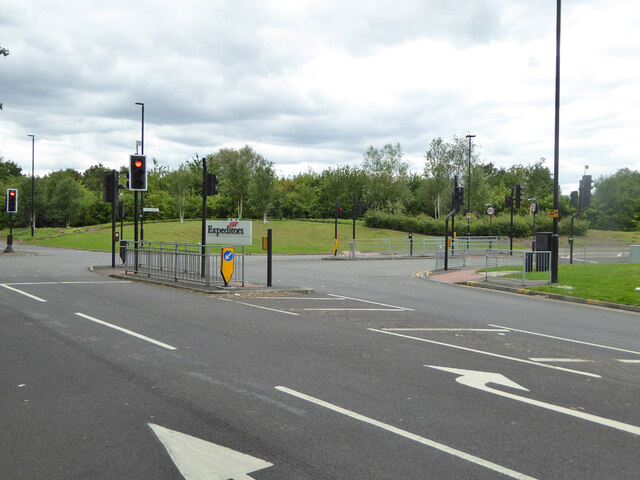
Bedfont Lakes Country Park
Bedfont Lakes Country Park is a 72.5-hectare Local Nature Reserve and Site of Metropolitan Importance for Nature Conservation in Bedfont in the London...

Rivers Academy West London
Rivers Academy West London is an 11–18 mixed secondary school and sixth form with academy status in Feltham, London, England. It specialises in business...

Heathrow Terminal 4 railway station
Heathrow Terminal 4 is a railway station at Heathrow Terminal 4 served by the Elizabeth line. The separate Heathrow Terminal 4 tube station on the Piccadilly...
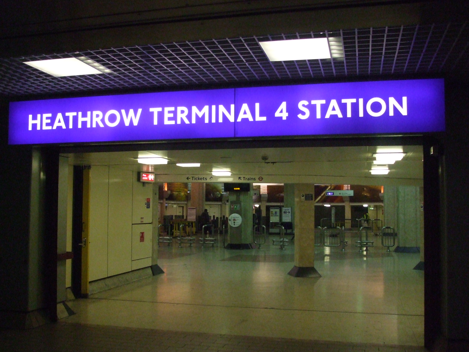
Heathrow Terminal 4 tube station
Heathrow Terminal 4 is a London Underground station at Heathrow Airport on the Heathrow branch of the Piccadilly line. The station is situated in Travelcard...

Feltham Urban District
Feltham was an urban district in the former county of Middlesex, England from 1904 to 1965. As Middlesex was disbanded is 1965, Feltham now is a part of...
Related Videos
Boarding ✈️ London Heathrow airport.#fypシ #trending #travel #youtubeshorts #uk #fyp
One of the most stunning towns in the world is Cape Town in South Africa. One of the recognised seven natural wonders of the ...

ARRIVING AT LONDON HEATHROW Terminal 5 - London Heathrow Airport United Kingdom - Travel video
Arriving at London Heathrow Airport (LHR). If this is your first visit to London Heathrow Terminal 5 you should find this video ...
![30 hours travel ! 🇫🇷 Paris CDG - Sydney SYD 🇦🇺 Qantas Airbus A380 via LHR + SIN [FLIGHT REPORT]](https://i.ytimg.com/vi/FvSVAiXyOvw/hqdefault.jpg)
30 hours travel ! 🇫🇷 Paris CDG - Sydney SYD 🇦🇺 Qantas Airbus A380 via LHR + SIN [FLIGHT REPORT]
MY CAMERA : Iphone 13Pro MAX + SONY FDR AX-53 (no tripod , only hand held / No comentary , no music 2:17:14 Fly over ...
Nearby Amenities
Located within 500m of 51.445463,-0.43683243Have you been to Bedfont Lake?
Leave your review of Bedfont Lake below (or comments, questions and feedback).