Halliford, Lower
Settlement in Middlesex Spelthorne
England
Halliford, Lower
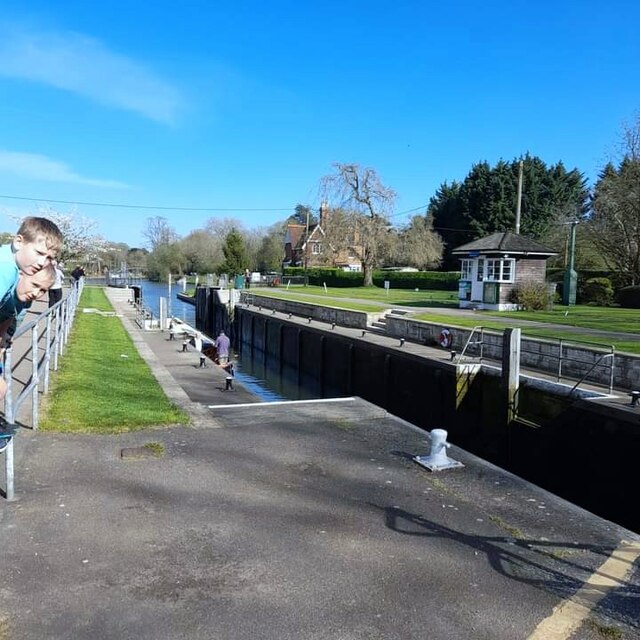
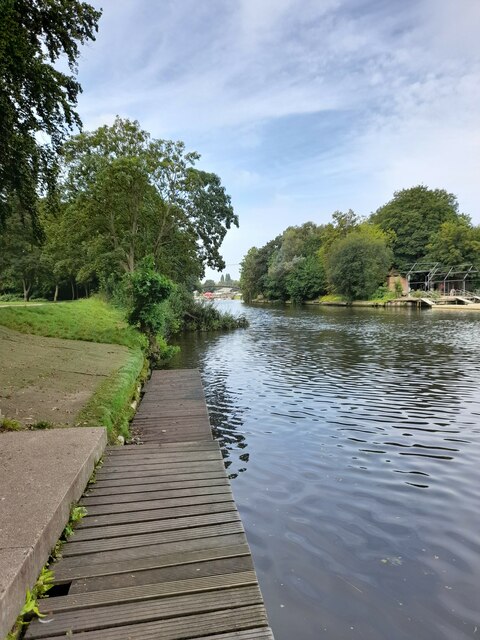
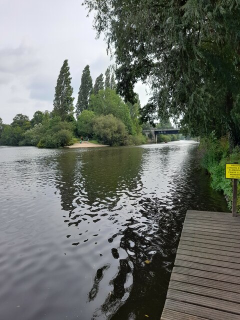
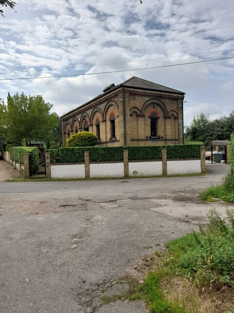
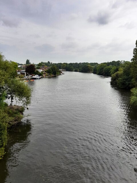
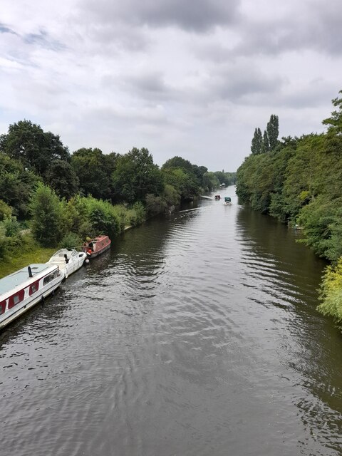
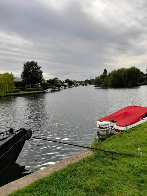
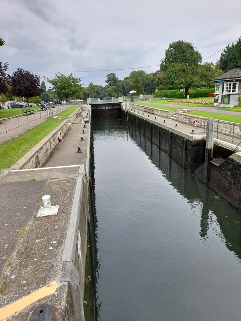
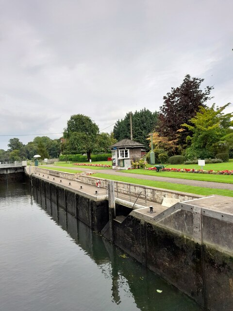
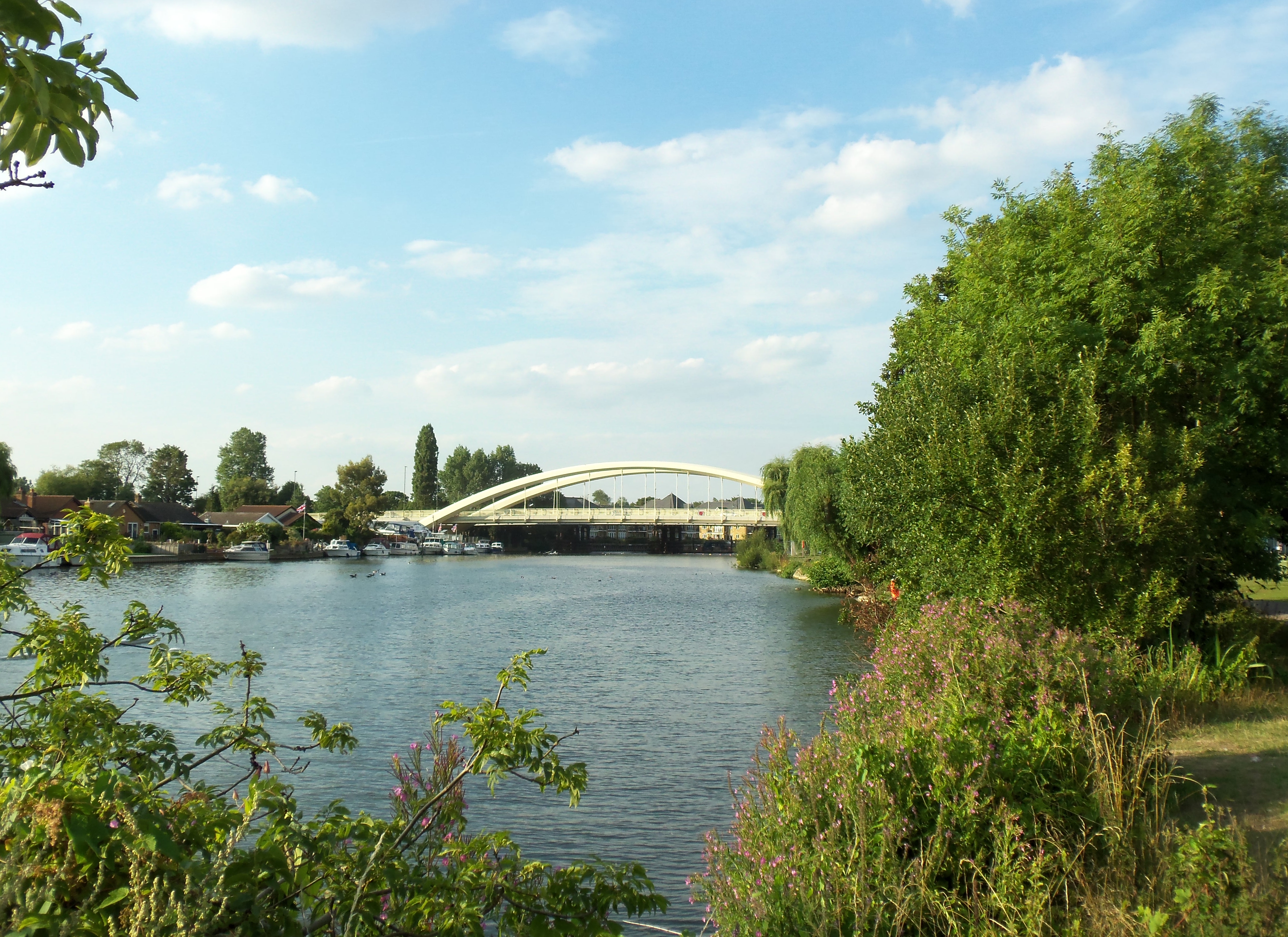
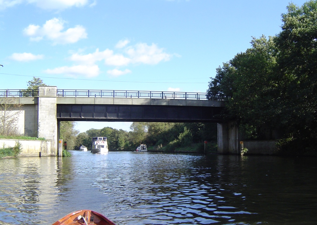
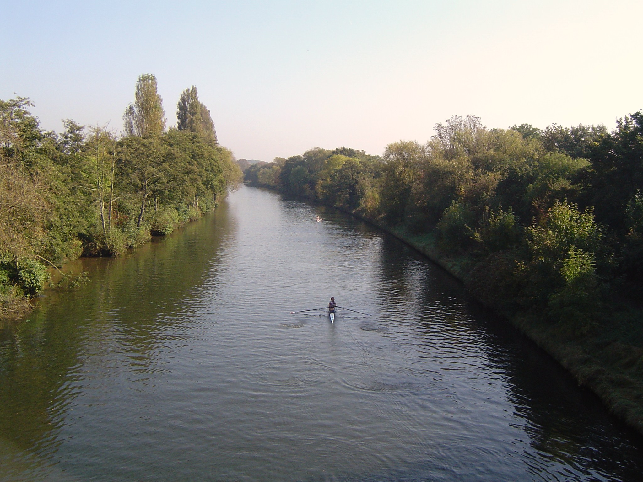
Halliford is a small village located in the borough of Spelthorne, in the county of Middlesex, England. Situated on the southern bank of the River Thames, it is part of the wider Shepperton area and forms a triangular shape between the riverside and the Shepperton Lock. The village is predominantly residential and has a peaceful atmosphere, making it an attractive place for families and retirees.
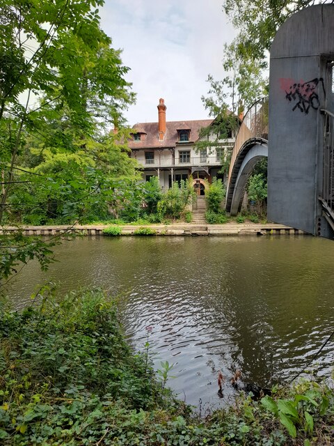
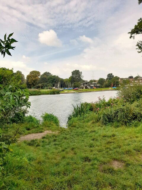
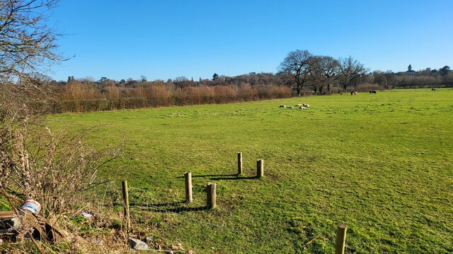
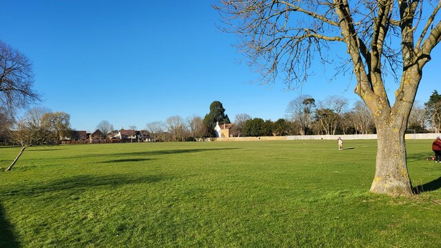
Halliford is known for its picturesque surroundings, with tree-lined streets and well-maintained gardens. The architecture in the village is a blend of old and new, with a mix of traditional cottages and modern houses. The village also boasts several green spaces, including Halliford Park, which offers recreational facilities such as tennis courts and a children's playground.
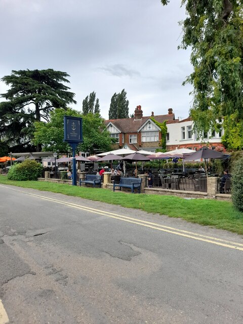
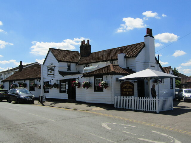
The village has a close-knit community and a range of amenities to cater to the needs of its residents. There are local shops and small businesses, providing essential services and convenience. Halliford has its own primary school, providing education for younger children, and is also within close proximity to secondary schools in neighboring towns.
Transportation options in Halliford are convenient, with regular bus services connecting the village to nearby towns and the railway station at Shepperton. The village is well-connected to major roads, including the M3 and M25 motorways, making it easily accessible by car.
Overall, Halliford offers a charming and peaceful living environment with a strong sense of community, making it an appealing place for those seeking a tranquil village lifestyle within easy reach of urban amenities.
If you have any feedback on the listing, please let us know in the comments section below.
Halliford, Lower Images
Images are sourced within 2km of 51.390215/-0.437695 or Grid Reference TQ0866. Thanks to Geograph Open Source API. All images are credited.
Halliford, Lower is located at Grid Ref: TQ0866 (Lat: 51.390215, Lng: -0.437695)
Administrative County: Surrey
District: Spelthorne
Police Authority: Surrey
What 3 Words
///dame.goods.love. Near Shepperton, Surrey
Nearby Locations
Related Wikis

Halliford School
Halliford School is a selective boys independent day school, which also admits girls into its sixth form, in Lower Halliford, Shepperton, Surrey, England...
Old Walton Bridge
Old Walton Bridge is the name given to the first Walton Bridge built across the River Thames between Walton-on-Thames and Shepperton in Surrey, England...
Walton Bridge
Walton Bridge is a road bridge across the River Thames in England, carrying the A244 between Walton-on-Thames and Shepperton, crossing the Thames on the...
Thamesmead School
Thamesmead School is a secondary academy school for boys and girls located in Shepperton, England. It is for students aged 11 to 16, and does not have...
Desborough Island
Desborough Island is a 112-acre (0.45 km2) manmade island in the River Thames on the reach above Sunbury Lock in Surrey, England. It was formed in the...
Desborough Cut
The Desborough Cut is an artificial channel in the River Thames above Sunbury Lock near Walton on Thames in England. It was completed in 1935, to improve...

No. 2 New Zealand General Hospital
The No. 2 New Zealand General Hospital was a World War I military hospital in Walton-on-Thames, England. The hospital opened in 1915 by requisitioning...
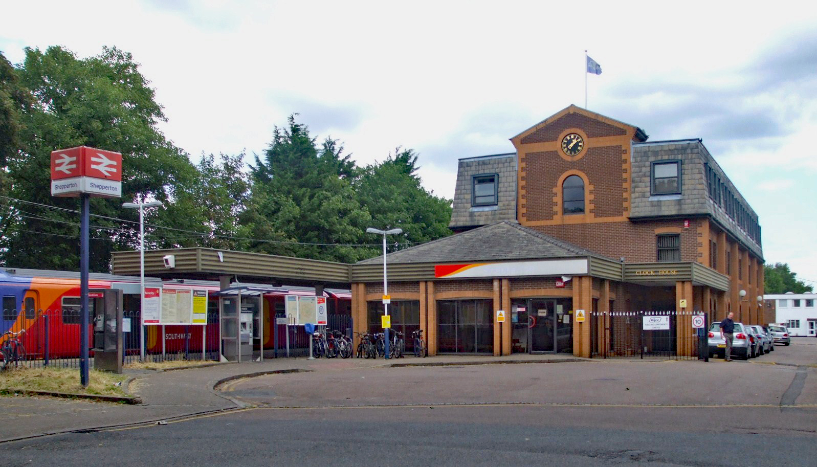
Shepperton railway station
Shepperton railway station is a station serving Shepperton, in Surrey, England. It is 18 miles 73 chains (30.4 km) down the line from London Waterloo....
Nearby Amenities
Located within 500m of 51.390215,-0.437695Have you been to Halliford, Lower?
Leave your review of Halliford, Lower below (or comments, questions and feedback).