Desborough Island

Island in Surrey Elmbridge

England

Desborough Island

Shepperton Lock
Shepperton Lock Credit: Alex McGregor

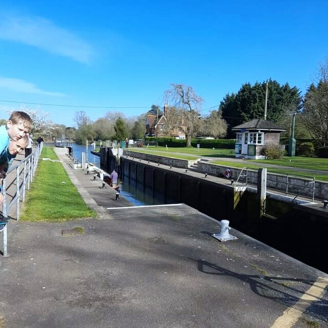
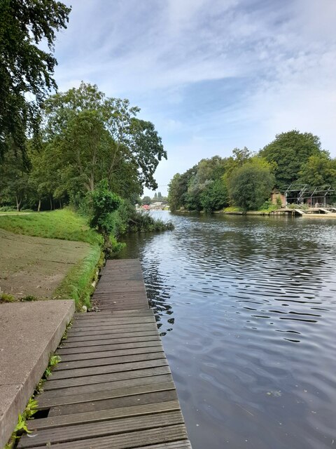
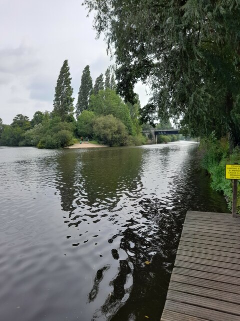
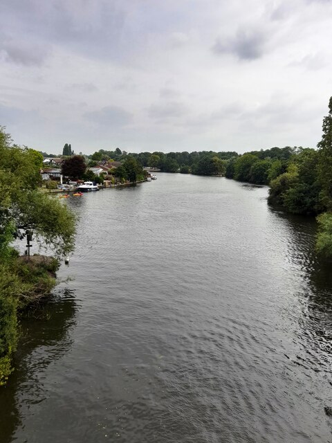
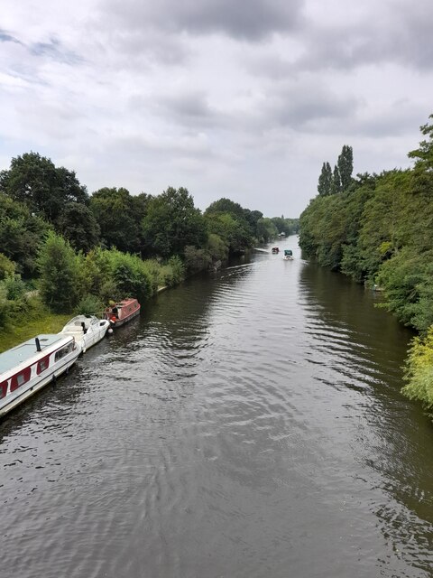
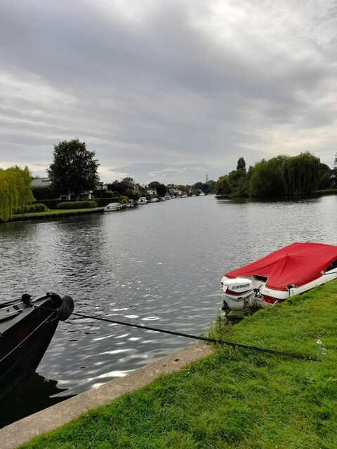
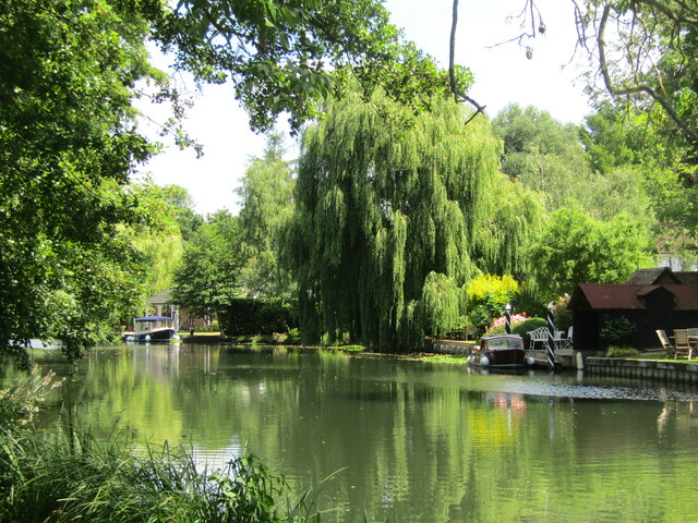
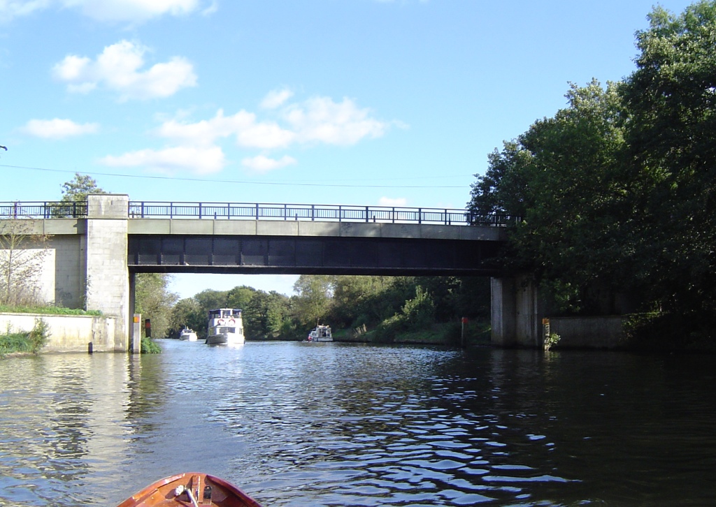
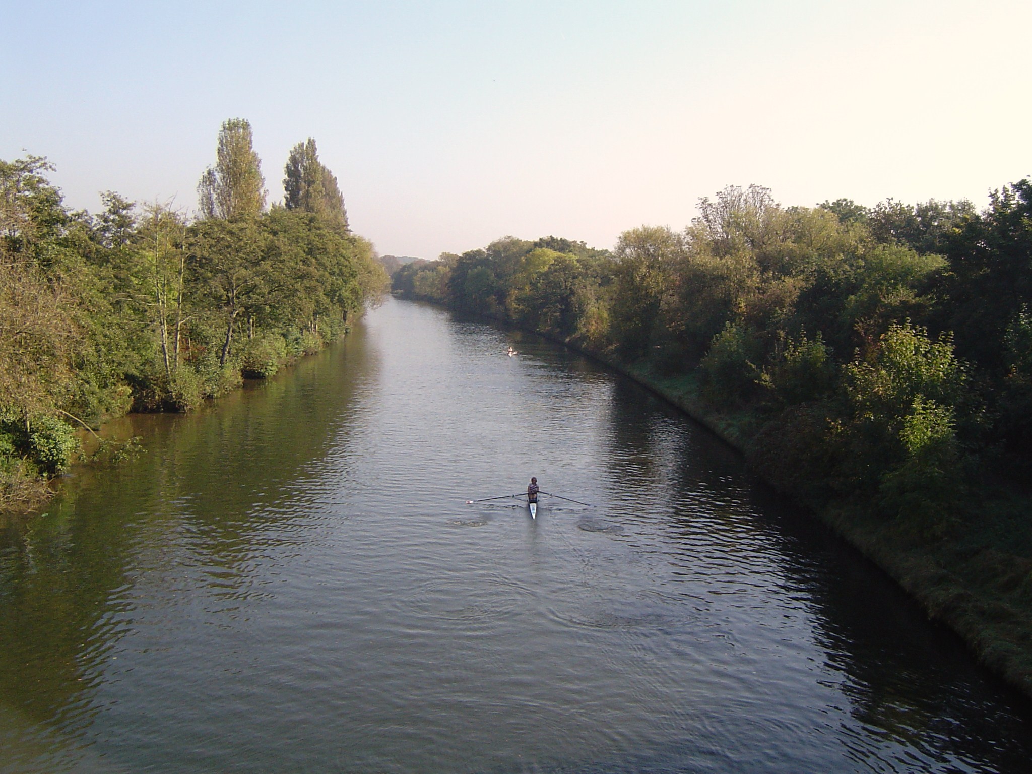
Desborough Island is a small, man-made island located in the county of Surrey, England. Situated between the boroughs of Weybridge and Walton-on-Thames, the island is formed by the River Thames and its tributary, the Wey Navigation.

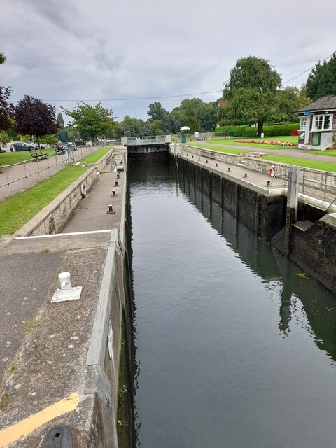
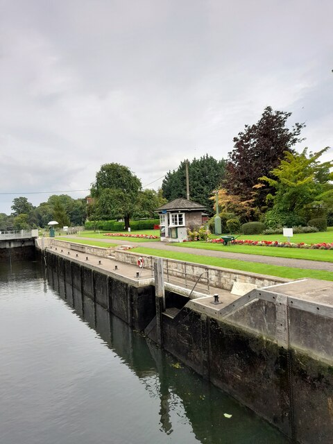
Originally created in the 1930s as part of a flood relief scheme, Desborough Island serves as a vital protective barrier against the risk of flooding in the surrounding areas. Its construction involved the dredging of the riverbed and the deposition of the excavated material to form the island. The island covers an area of approximately 50 acres.

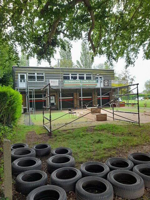
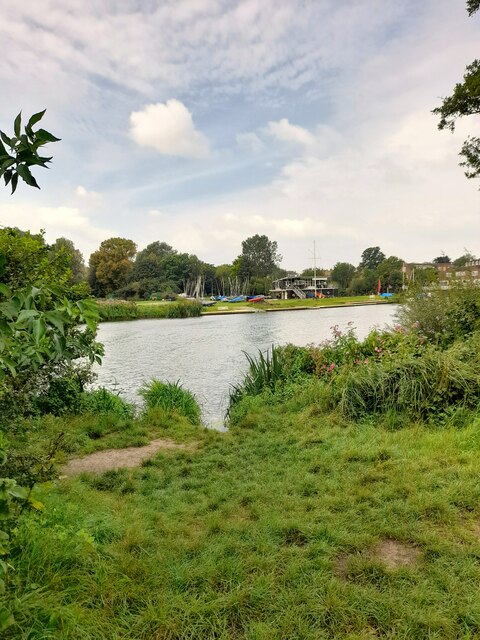
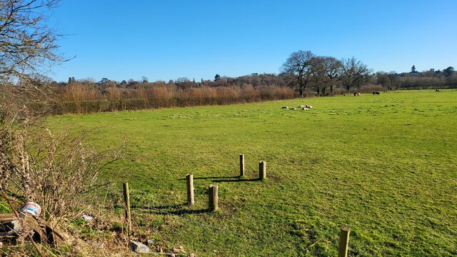
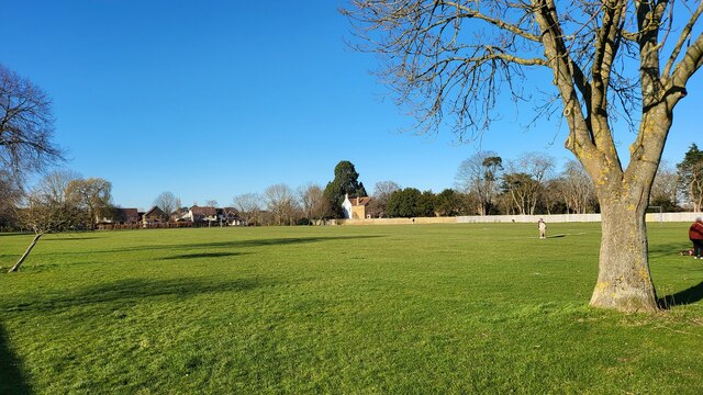
Desborough Island is predominantly composed of grassland and has a tranquil, picturesque environment. It is a popular destination for nature enthusiasts, walkers, and cyclists, offering scenic views of the river and the surrounding countryside. The island is also home to a variety of bird species, making it a haven for birdwatchers.

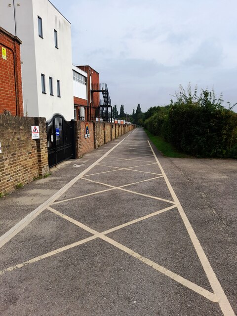
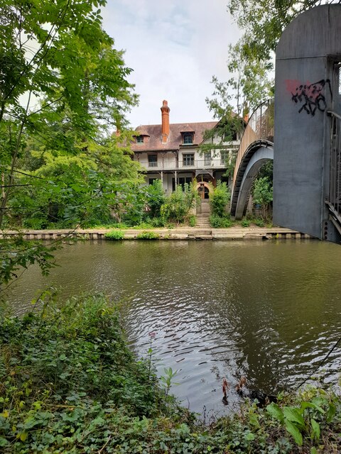
The island is accessible to the public via a footbridge that connects it to the mainland. The footbridge provides a convenient link for pedestrians and cyclists and is a popular route for commuters traveling to nearby towns. However, vehicular access to the island is restricted, maintaining its peaceful atmosphere and protecting the local wildlife.

Overall, Desborough Island is an important and picturesque feature of the Surrey landscape. Its creation as a flood relief measure has not only safeguarded the surrounding areas from potential flooding but has also provided a serene haven for both nature enthusiasts and those seeking a tranquil escape from urban life.

If you have any feedback on the listing, please let us know in the comments section below.

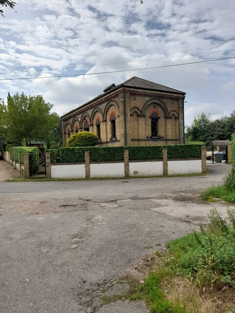
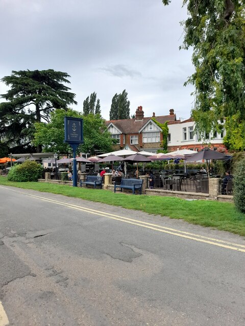
Desborough Island Images

Images are sourced within 2km of 51.386064/-0.44462009 or Grid Reference TQ0866. Thanks to Geograph Open Source API. All images are credited.

Shepperton Lock
Shepperton Lock
Convent Lane
Convent Lane
Convent Lane
Convent Lane
Elmbridge Canoe Club
River Thames
River Thames
River Thames
River Thames
D'Oyly Carte
D'Oyly Carte
Desborough Sailing Club
Desborough Water Works
River Thames
River Thames
River Thames
River Thames
The Thames Court
The Thames Court
River Thames
River Thames
Shepperton Lock
Shepperton Lock
Shepperton Lock
Shepperton Lock
Farmland next to Walton Lane Fields between the River Thames and Oatlands Park Hotel.
Farmland next to Walton Lane
Fields between the River Thames and Oatlands Park Hotel.
Bishop Duppas Recreation Ground Midium sized park of Lower Halliford.
Bishop Duppas Recreation Ground
Midium sized park of Lower Halliford.
Weybridge - River Wey Navigation Sylvan stretch between the Thames and Town Locks at Weybridge.
<span class="nowrap"><a title="www.weyriver.co.uk" rel="nofollow ugc noopener" href="http://www.weyriver.co.uk">Link</a><img style="margin-left:2px;" alt="External link" title="External link - shift click to open in new window" src="https://s1.geograph.org.uk/img/external.png" width="10" height="10"/></span>
Weybridge - River Wey Navigation
Sylvan stretch between the Thames and Town Locks at Weybridge. LinkExternal link
Show me another place!

Desborough Island is located at Grid Ref: TQ0866 (Lat: 51.386064, Lng: -0.44462009)

Administrative County: Surrey

District: Elmbridge

Police Authority: Surrey

What 3 Words

///smiles.sticky.steep. Near Shepperton, Surrey

Related Wikis

Desborough Island

Desborough Island is a 112-acre (0.45 km2) manmade island in the River Thames on the reach above Sunbury Lock in Surrey, England. It was formed in the...

Desborough Cut

The Desborough Cut is an artificial channel in the River Thames above Sunbury Lock near Walton on Thames in England. It was completed in 1935, to improve...

Halliford School

Halliford School is a selective boys independent day school, which also admits girls into its sixth form, in Lower Halliford, Shepperton, Surrey, England...

D'Oyly Carte Island

D'Oyly Carte Island is a small private island in the River Thames, England, administratively and historically part of Weybridge, near its other inhabited...

Chertsey and Walton (UK Parliament constituency)

Chertsey and Walton was a late 20th century parliamentary constituency in Surrey which returned one Member of Parliament (MP) to the House of Commons of...

Shepperton to Weybridge Ferry

The Shepperton to Weybridge Ferry is a pedestrian and cycle ferry service across the River Thames in Surrey, England. The service has operated almost continuously...

Thamesmead School

Thamesmead School is a secondary academy school for boys and girls located in Shepperton, England. It is for students aged 11 to 16, and does not have...

Old Walton Bridge

Old Walton Bridge is the name given to the first Walton Bridge built across the River Thames between Walton-on-Thames and Shepperton in Surrey, England...

Nearby Amenities

Located within 500m of 51.386064,-0.44462009
Bus Stop
Old Ship Hotel
Naptan AtcoCode: 40004402174A
Naptan Bearing: E
Naptan CommonName: Old Ship Hotel
Naptan Indicator: Just Before
Naptan Landmark: Old Ship Hotel
Naptan NaptanCode: surdwdmj
Naptan Street: Russell Road
Naptan Verified: no
Public Transport: platform
Source: naptan_import
Lat/Long: 51.389996/-0.4453942
Bus Stop
Old Ship Hotel
Naptan AtcoCode: 40004402174B
Naptan Bearing: W
Naptan CommonName: Old Ship Hotel
Naptan Indicator: Opp
Naptan Landmark: Old Ship Hotel
Naptan NaptanCode: surdwdmp
Naptan Street: Russell Road
Naptan Verified: no
Public Transport: platform
Source: naptan_import
Lat/Long: 51.3899216/-0.4445961
Traffic Calming: cushion
Lat/Long: 51.3899085/-0.4459035
Crossing
Crossing: unmarked
Kerb: lowered
Sloped Curb: yes
Lat/Long: 51.389995/-0.4451933
Crossing
Crossing: unmarked
Kerb: lowered
Sloped Curb: yes
Lat/Long: 51.3902537/-0.4425521
Coal tax post
Historic: boundary_stone
Inscription: 24 & 25 VICT CAP 42
Material: metal
Note: Coal tax boundary marker 91
Lat/Long: 51.3862206/-0.450761
Coal tax post
Historic: boundary_stone
Inscription: 24 & 25 VICT CAP 42
Material: iron
Note: Coal tax boundary marker 92
Lat/Long: 51.3864966/-0.447459
Entrance: yes
Lat/Long: 51.3903791/-0.4449565
Entrance: yes
Lat/Long: 51.3902498/-0.4449591
Entrance: yes
Lat/Long: 51.3905365/-0.4449907
Entrance: yes
Lat/Long: 51.3901758/-0.4444999
Entrance: yes
Lat/Long: 51.3902853/-0.4447914
Entrance: yes
Lat/Long: 51.39052/-0.4443073
Entrance: yes
Lat/Long: 51.3904774/-0.4440519
Entrance: yes
Lat/Long: 51.3905288/-0.4444074
Note: Navigation Transit Marker
Source: GPS
Waterway: milestone
Lat/Long: 51.3827742/-0.442568
Hiking: yes
Information: guidepost
Source: GPS survey
Tourism: information
Lat/Long: 51.384931/-0.4377526
Barrier: swing_gate
Lat/Long: 51.3849151/-0.4378329
Barrier: swing_gate
Lat/Long: 51.3872128/-0.4391971
Information: board
Source: GPS survey
Tourism: information
Lat/Long: 51.3884695/-0.4404013
Thames bylaw 63
Information: board
Source: GPS survey
Tourism: information
Lat/Long: 51.3869003/-0.4440793
Thames bylaw 63
Information: board
Source: GPS survey
Tourism: information
Lat/Long: 51.3864718/-0.4461935
Barrier: height_restrictor
Lat/Long: 51.3849446/-0.4378619
Barrier: swing_gate
Lat/Long: 51.3870995/-0.4396312
Waste Basket
Lat/Long: 51.3900613/-0.4413749
Bench
Backrest: yes
Material: wood
Lat/Long: 51.3900403/-0.4414192
Noexit: yes
Lat/Long: 51.390109/-0.4428904
Hiking: yes
Information: guidepost
Source: GPS
Tourism: information
Lat/Long: 51.3901701/-0.4428676
Hiking: yes
Information: guidepost
Source: GPS
Tourism: information
Lat/Long: 51.3900864/-0.4435368
Noexit: yes
Lat/Long: 51.3900228/-0.4434925
Hiking: yes
Information: guidepost
Source: GPS
Tourism: information
Lat/Long: 51.3883256/-0.4500049
Bench
Backrest: yes
Lat/Long: 51.3872476/-0.4476956
Bench
Backrest: yes
Lat/Long: 51.3877297/-0.4485539
Bench
Backrest: yes
Lat/Long: 51.3880159/-0.4490823
Bench
Backrest: yes
Lat/Long: 51.3882435/-0.4496965
The data included in this document is from www.openstreetmap.org. The data is made available under ODbL.

Have you been to Desborough Island?

Leave your review of Desborough Island below (or comments, questions and feedback).