Lapscombe Lake

Lake, Pool, Pond, Freshwater Marsh in Surrey Waverley

England

Lapscombe Lake

Stroud Lane, near Shamley Green Stroud Lane is a minor lane near the village of Shamley Green in Surrey.  The signs indicate that the road has a width restriction of 6 feet, 6 inches.
Stroud Lane, near Shamley Green Credit: Malc McDonald

Lapscombe Lake is a picturesque freshwater feature located in Surrey, England. Situated amidst the tranquil countryside, it serves as a popular recreational spot for locals and visitors alike. Spanning an area of approximately 10 acres, the lake is encompassed by lush greenery and offers a serene environment for relaxation and leisure activities.

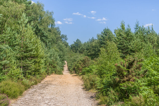
The lake is characterized by its calm and crystal-clear waters, which are fed by natural springs and rainfall runoff. Its depth varies across different areas, ranging from shallow sections ideal for wading to deeper regions suitable for swimming. The lake's perimeter is lined with a mix of trees and shrubs, providing shade and habitat for various bird species, including ducks, geese, and herons that frequent the area.

Lapscombe Lake also serves as a haven for aquatic life, with a diverse range of fish species inhabiting its waters. Anglers are frequently drawn to the lake for fishing opportunities, as it is known to support a healthy population of carp, roach, perch, and tench.

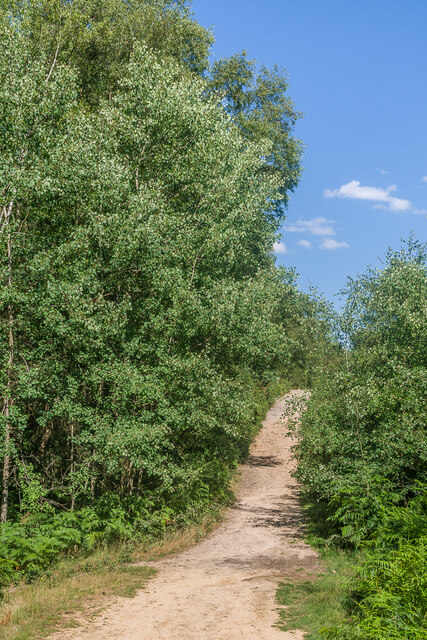
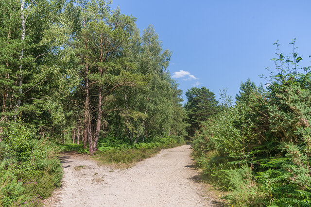
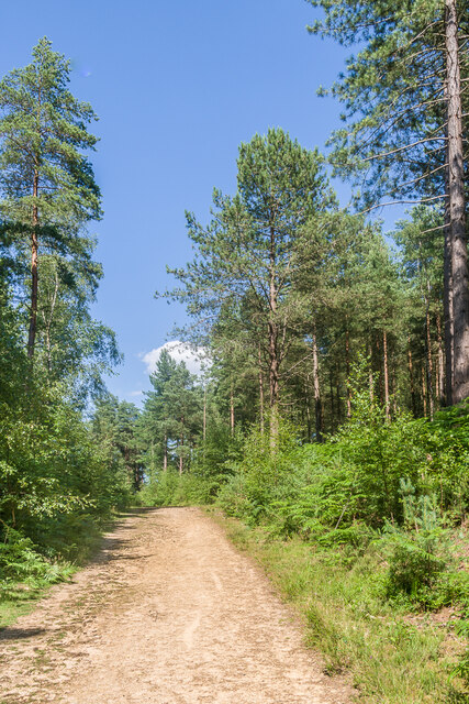
Surrounding the lake, visitors can find well-maintained footpaths and picnic areas, allowing for leisurely walks and family outings. The calm ambiance and beautiful natural surroundings make Lapscombe Lake an ideal location for birdwatching, photography, and nature appreciation.

Furthermore, the lake is home to a vibrant freshwater marsh ecosystem. This marshland provides a habitat for various plant species, including reeds and water lilies, and serves as a breeding ground for amphibians and waterfowl.

Lapscombe Lake is a hidden gem in the Surrey countryside, offering a peaceful retreat from the bustling city life and providing a range of recreational opportunities for nature enthusiasts.

If you have any feedback on the listing, please let us know in the comments section below.

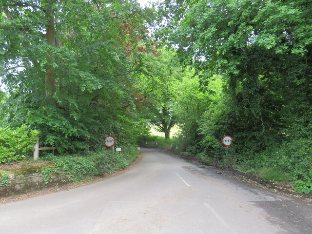
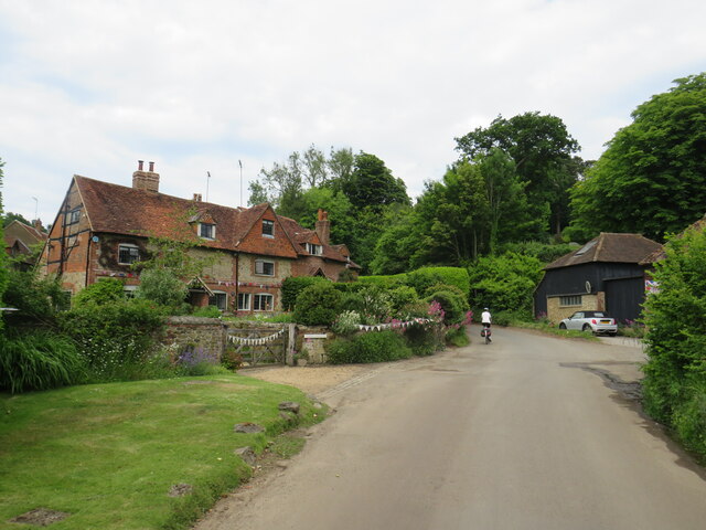
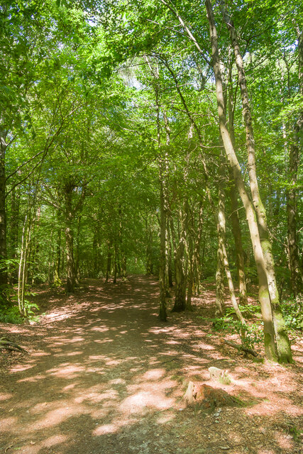
Lapscombe Lake Images

Images are sourced within 2km of 51.170169/-0.49247518 or Grid Reference TQ0542. Thanks to Geograph Open Source API. All images are credited.
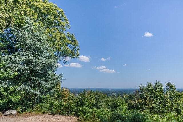
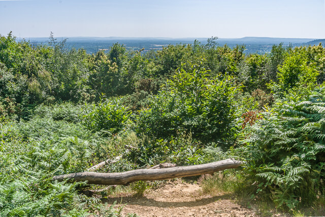
Stroud Lane, near Shamley Green Stroud Lane is a minor lane near the village of Shamley Green in Surrey.  The signs indicate that the road has a width restriction of 6 feet, 6 inches.
Stroud Lane, near Shamley Green
Stroud Lane is a minor lane near the village of Shamley Green in Surrey. The signs indicate that the road has a width restriction of 6 feet, 6 inches.
Farley Heath Road, Woodhill, near Shamley Green Farley Heath Road passing through the hamlet of Woodhill in Surrey.  This road is on route 22 of the National Cycle Network.
Farley Heath Road, Woodhill, near Shamley Green
Farley Heath Road passing through the hamlet of Woodhill in Surrey. This road is on route 22 of the National Cycle Network.
 Reynards Hill A shaded path on Reynards Hill.
Reynards Hill
A shaded path on Reynards Hill.
Reynards Hill The view east from Reynards Hill.
Reynards Hill
The view east from Reynards Hill.
 Reynards Hill The view southwest from Reynards Hill.
Reynards Hill
The view southwest from Reynards Hill.
Reynards Hill The summit clearing on Reynards Hill.  The seat was installed in 2016.  Created by the artist Russell Jakubowski, and entitled Contour, it is made from a lamination of recycled plastic and marine grade stainless steel - see <span class="nowrap"><a title="https://www.axisweb.org/p/russelljakubowski/workset/226591-contour-seat/" rel="nofollow ugc noopener" href="https://www.axisweb.org/p/russelljakubowski/workset/226591-contour-seat/">Link</a><img style="margin-left:2px;" alt="External link" title="External link - shift click to open in new window" src="https://s1.geograph.org.uk/img/external.png" width="10" height="10"/></span>.  For a close up of the plaque on the seat see <a href="https://www.geograph.org.uk/photo/7645999">TQ0742 : Plaque on "Contour", Reynards Hill</a>].
Reynards Hill
The summit clearing on Reynards Hill. The seat was installed in 2016. Created by the artist Russell Jakubowski, and entitled Contour, it is made from a lamination of recycled plastic and marine grade stainless steel - see LinkExternal link. For a close up of the plaque on the seat see TQ0742 : Plaque on "Contour", Reynards Hill].
Plaque on "Contour", Reynards Hill The plaque on the seat at the summit of Reynards Hill, installed in 2016 - see <a href="https://www.geograph.org.uk/photo/7645988">TQ0742 : Reynards Hill</a>.  Created by the artist Russell Jakubowski, and entitled Contour, the seat is made from a lamination of recycled plastic and marine grade stainless steel.  The plaque reads: 

"Reynards Hill

The woods of the Weald wander beneath their many names, gates and fences as nothing to what cannot be owned up here, the earth raw from unspeakable needs to view our journey in this ancient moment's gaze.

John Wedgwood Clarke

This seat was designed and made from recycled plastic by the artist Russell Jakubowski.  It has been created for you to enjoy this inspiring view."

The logo is that of the Surrey Hills AONB.
Plaque on "Contour", Reynards Hill
The plaque on the seat at the summit of Reynards Hill, installed in 2016 - see TQ0742 : Reynards Hill. Created by the artist Russell Jakubowski, and entitled Contour, the seat is made from a lamination of recycled plastic and marine grade stainless steel. The plaque reads: "Reynards Hill The woods of the Weald wander beneath their many names, gates and fences as nothing to what cannot be owned up here, the earth raw from unspeakable needs to view our journey in this ancient moment's gaze. John Wedgwood Clarke This seat was designed and made from recycled plastic by the artist Russell Jakubowski. It has been created for you to enjoy this inspiring view." The logo is that of the Surrey Hills AONB.
Winterfold Forest A path through a part of the southern section of Winterfold Forest.
Winterfold Forest
A path through a part of the southern section of Winterfold Forest.
Winterfold Forest A track through a part of the southern section of Winterfold Forest.
Winterfold Forest
A track through a part of the southern section of Winterfold Forest.
Winterfold Forest An area of heathland in the southern section of Winterfold Forest.
Winterfold Forest
An area of heathland in the southern section of Winterfold Forest.
Winterfold Forest A track in Winterfold Forest.  This route marks the divide between the open access southern section and the largely private northern section.
Winterfold Forest
A track in Winterfold Forest. This route marks the divide between the open access southern section and the largely private northern section.
Winterfold Forest Forest and heathland in the southern section of Winterfold Forest.
Winterfold Forest
Forest and heathland in the southern section of Winterfold Forest.
Winterfold Forest A track in the northern section of Winterfold Forest.
Winterfold Forest
A track in the northern section of Winterfold Forest.
Winterfold Forest A track in the northern section of Winterfold Forest.
Winterfold Forest
A track in the northern section of Winterfold Forest.
Alderbrook Road, Smithwood Common
Show me another place!

Lapscombe Lake is located at Grid Ref: TQ0542 (Lat: 51.170169, Lng: -0.49247518)

Administrative County: Surrey

District: Waverley

Police Authority: Surrey

What 3 Words

///resources.tortoises.revise. Near Cranleigh, Surrey

Related Wikis

Cucknell's Wood

Cucknell's Wood is a 11-hectare (27-acre) nature reserve south-east of Shamley Green in Surrey. It is managed by the Surrey Wildlife Trust.Birds in this...

Winterfold Forest

Winterfold Forest is a wooded area of the broadest plateau of the western Greensand Ridge in Surrey, England. It blends seamlessly into the Hurt Wood...

Cranleigh School

Cranleigh School is a public school (English fee-charging boarding and day school) in the village of Cranleigh, Surrey. == History == It was opened on...

Hurt Wood Mill, Ewhurst

Hurt Wood Mill is a grade II* listed tower mill at Ewhurst, Surrey, England, which has been converted to residential use. == History == Hurt Wood Mill...

Christ Church, Shamley Green

Christ Church is a Church of England parish church in Shamley Green, Surrey, England. It was constructed in 1863 as a chapel of ease and became a parish...

Marylands

Marylands is a Spanish-style country house on Pitch Hill, a rural part of Ewhurst, Surrey, England. It is a Grade II* listed building, designed during...

Glebelands School

Glebelands School is a county-funded and charity-supported secondary school in Cranleigh, Surrey, England. It is co-educational and takes students aged...

Cranleigh railway station

Cranleigh was a railway station on the Cranleigh Line between Guildford and Horsham. It served the village of Cranleigh, Surrey in southern England....

Nearby Amenities

Located within 500m of 51.170169,-0.49247518
Willinghurst
Building: yes
Source: npe
Wikidata: Q26534242
Lat/Long: 51.1708763/-0.4921652
Power: pole
Source: Bing
Lat/Long: 51.1661002/-0.4902176
Barrier: stile
Lat/Long: 51.168374/-0.4887524
Barrier: stile
Lat/Long: 51.1695591/-0.4888415
Barrier: stile
Lat/Long: 51.1705349/-0.492692
Barrier: stile
Lat/Long: 51.1705998/-0.4873654
Barrier: stile
Lat/Long: 51.1715094/-0.4873097
Barrier: stile
Lat/Long: 51.1715106/-0.4947861
The data included in this document is from www.openstreetmap.org. The data is made available under ODbL.

Have you been to Lapscombe Lake?

Leave your review of Lapscombe Lake below (or comments, questions and feedback).