The Aquadrome
Lake, Pool, Pond, Freshwater Marsh in Hertfordshire Three Rivers
England
The Aquadrome

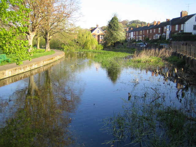
The Aquadrome, located in Rickmansworth, Hertfordshire, is a popular outdoor recreational area that encompasses a large lake, pool, pond, and freshwater marsh. Spanning over 100 acres, it offers a diverse natural landscape that attracts nature enthusiasts, walkers, and families alike.
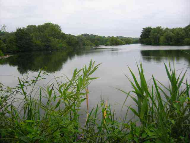
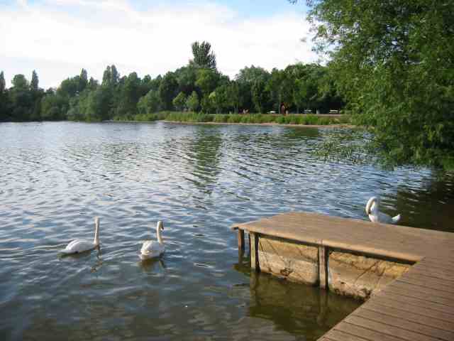
The centerpiece of the Aquadrome is the 41-acre lake, known as Batchworth Lake, which is surrounded by beautifully landscaped areas and provides a serene environment for various water-based activities. Boating enthusiasts can enjoy sailing, kayaking, and canoeing on the lake, while anglers can indulge in fishing for a variety of freshwater species including carp, pike, and tench.
Adjacent to Batchworth Lake is a well-maintained outdoor pool, perfect for those seeking a refreshing swim during the warmer months. The pool is supervised by trained lifeguards, ensuring a safe and enjoyable experience for all visitors.
The Aquadrome also boasts a smaller pond known as Stocker's Lake, which is a designated nature reserve. With its diverse wildlife and tranquil surroundings, it is a haven for birdwatchers, attracting a wide range of avian species throughout the year.
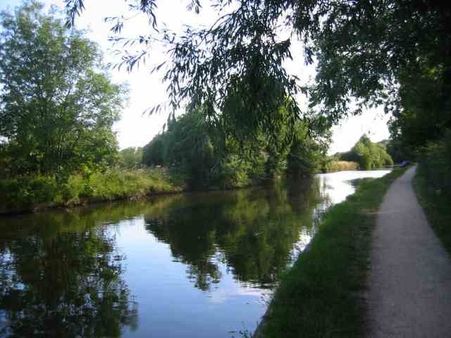
Moreover, the site features a freshwater marsh, providing a valuable habitat for wetland plants and wildlife. It serves as an important breeding ground for various species of birds, insects, and amphibians, making it a significant conservation area within Hertfordshire.
Overall, the Aquadrome offers a unique blend of recreational activities and natural beauty, making it an ideal destination for individuals seeking outdoor leisure, wildlife observation, or simply a peaceful escape from the bustling city life.
If you have any feedback on the listing, please let us know in the comments section below.
The Aquadrome Images
Images are sourced within 2km of 51.633847/-0.47637282 or Grid Reference TQ0593. Thanks to Geograph Open Source API. All images are credited.

The Aquadrome is located at Grid Ref: TQ0593 (Lat: 51.633847, Lng: -0.47637282)
Administrative County: Hertfordshire
District: Three Rivers
Police Authority: Hertfordshire
What 3 Words
///stove.smooth.fame. Near Rickmansworth, Hertfordshire
Nearby Locations
Related Wikis

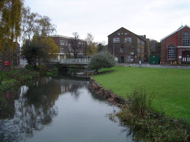
Rickmansworth Aquadrome
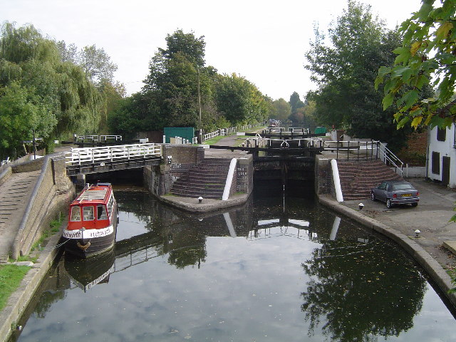
Rickmansworth Aquadrome is a 41 hectares (101 acres) public park and Local Nature Reserve in Rickmansworth in Hertfordshire. It is owned and managed by...
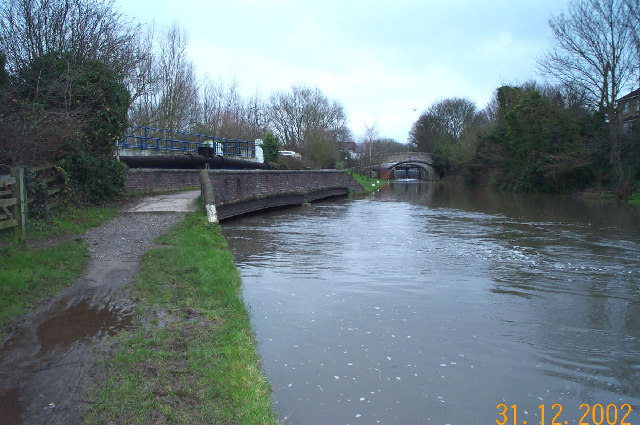
River Chess
The River Chess is a chalk stream that rises near Chesham in the Chiltern Hills, and flows for 11 miles (18 km) through Buckinghamshire and Hertfordshire...

Three Rivers District
Three Rivers is a local government district in south-west Hertfordshire, England. Its council is based in Rickmansworth. The district borders Hertsmere...

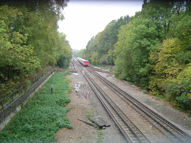
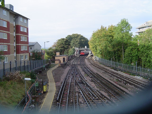
Rickmansworth station
Rickmansworth is an interchange railway station in Rickmansworth, Hertfordshire, northwest of central London, served by the London Underground Metropolitan...
Nearby Amenities
Located within 500m of 51.633847,-0.47637282Have you been to The Aquadrome?
Leave your review of The Aquadrome below (or comments, questions and feedback).