Bury Lake
Lake, Pool, Pond, Freshwater Marsh in Hertfordshire Three Rivers
England
Bury Lake
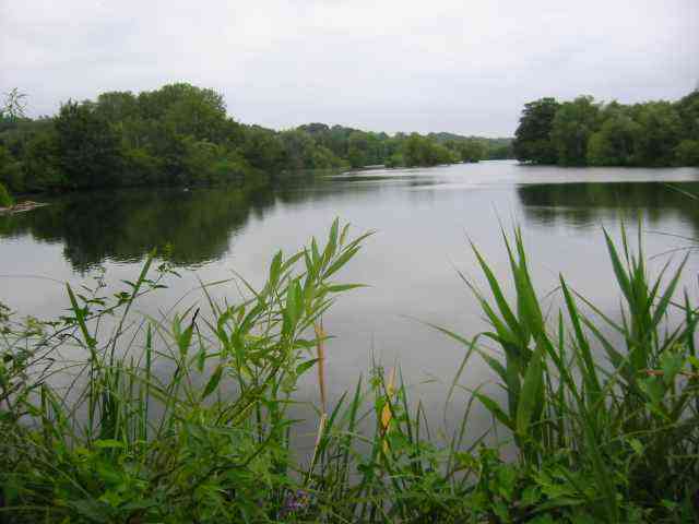
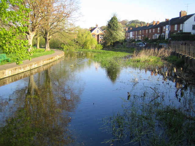
Bury Lake is a prominent freshwater feature located in Hertfordshire, England. Situated near the town of Rickmansworth, this lake is nestled within the stunning Rickmansworth Aquadrome, a popular recreational area. With a surface area of approximately 30 acres, Bury Lake is a significant water body that attracts locals and tourists alike.
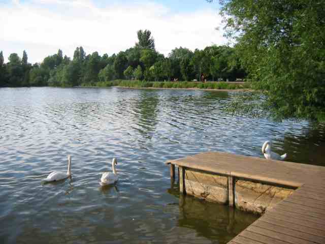
The lake is renowned for its picturesque surroundings, offering visitors a tranquil and serene atmosphere. Surrounded by lush greenery and a variety of wildlife, Bury Lake provides a haven for nature enthusiasts. It is home to numerous species of birds, including swans, ducks, geese, and herons, making it a prime spot for birdwatching.
Bury Lake is also a favored destination for water sports enthusiasts. The open waters offer opportunities for sailing, canoeing, and kayaking. The lake is often frequented by local clubs and organizations that organize events and competitions for these activities. Additionally, fishing is a popular pastime at Bury Lake, with anglers often seeking out the variety of fish species that inhabit its depths, such as pike, perch, and carp.
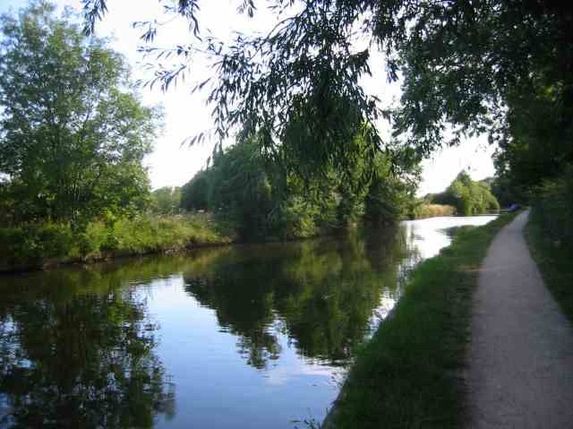
The surrounding area offers a host of facilities and amenities for visitors. There are designated picnic areas, walking trails, and even a café nearby, perfect for a leisurely day out. Bury Lake is easily accessible, with ample parking available for those arriving by car.
Overall, Bury Lake in Hertfordshire is a natural gem, providing a sanctuary for wildlife and a multitude of recreational opportunities for visitors. Whether it's birdwatching, water sports, or simply enjoying the idyllic surroundings, Bury Lake offers something for everyone.
If you have any feedback on the listing, please let us know in the comments section below.
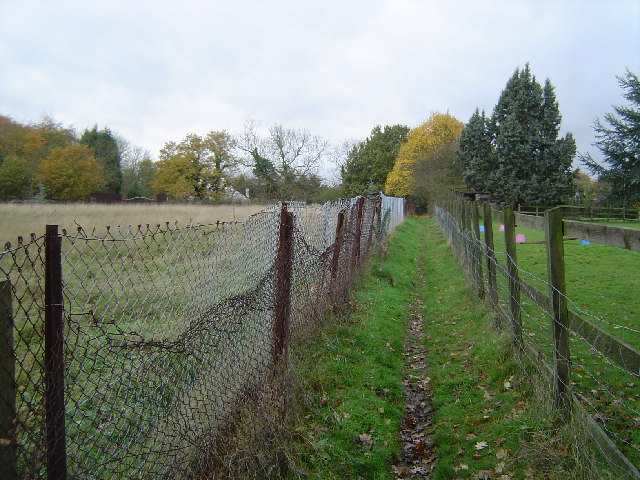
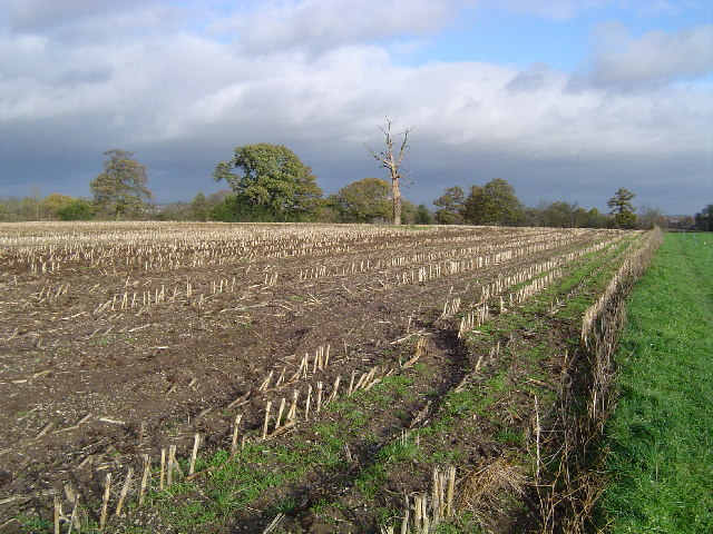
Bury Lake Images
Images are sourced within 2km of 51.633133/-0.48091944 or Grid Reference TQ0593. Thanks to Geograph Open Source API. All images are credited.
Bury Lake is located at Grid Ref: TQ0593 (Lat: 51.633133, Lng: -0.48091944)
Administrative County: Hertfordshire
District: Three Rivers
Police Authority: Hertfordshire
What 3 Words
///served.vets.exams. Near Rickmansworth, Hertfordshire
Nearby Locations
Related Wikis

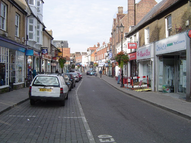
Rickmansworth Aquadrome
Rickmansworth Aquadrome is a 41 hectares (101 acres) public park and Local Nature Reserve in Rickmansworth in Hertfordshire. It is owned and managed by...

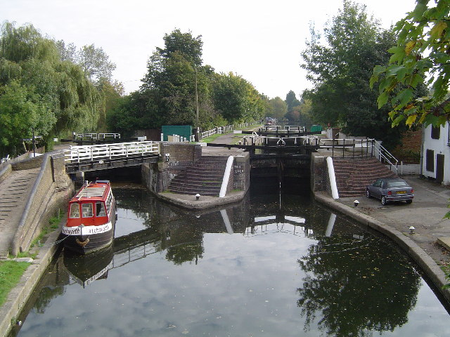
Stocker's Lake
Stocker's Lake is an old flooded gravel pit of approx 90 acres (37.5ha) at Rickmansworth, Hertfordshire, England, within the Colne Valley Regional Park...

Maple Cross and Mill End
Maple Cross and Mill End is a ward in Three Rivers, in England, the United Kingdom. It is located in the far south-west Hertfordshire, in the East of...
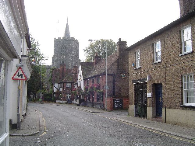
Mill End, Rickmansworth
Mill End is a suburb of Rickmansworth in Hertfordshire, England. Most of it is an unparished area, not being within a civil parish, although part of the...

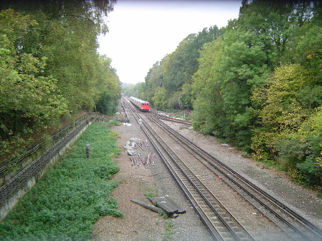
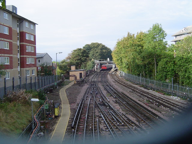
Rickmansworth station
Rickmansworth is an interchange railway station in Rickmansworth, Hertfordshire, northwest of central London, served by the London Underground Metropolitan...
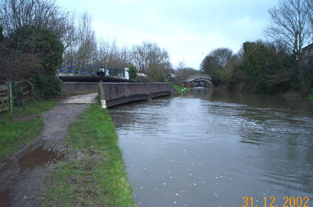
River Chess
The River Chess is a chalk stream that rises near Chesham in the Chiltern Hills, and flows for 11 miles (18 km) through Buckinghamshire and Hertfordshire...

Three Rivers District
Three Rivers is a local government district in south-west Hertfordshire, England. Its council is based in Rickmansworth. The district borders Hertsmere...
Rickmansworth (Church Street) railway station
Rickmansworth (Church Street) railway station was a London and North Western Railway (LNWR) station in Rickmansworth, Hertfordshire, UK. Opened in 1862...
Related Videos

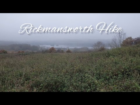
Chess Valley from Rickmansworth | Drone 4K | 🇬🇧 Hiking UK | England
The Chess Valley, one of the most beautiful and tranquil parts of the Chiltern Hills, yet never more than a couple of kilometres from ...
Rickmansworth Herts And The Aquadrome
Walking Around The Small Town Of Rickmansworth And The Nearby Aquadrome.
Nearby Amenities
Located within 500m of 51.633133,-0.48091944Have you been to Bury Lake?
Leave your review of Bury Lake below (or comments, questions and feedback).