The Lake
Lake, Pool, Pond, Freshwater Marsh in Northamptonshire
England
The Lake
The Lake in Northamptonshire is a picturesque freshwater body located in the heart of the county. Spanning over a sprawling area, it is considered one of the most beautiful natural attractions in the region. The lake is surrounded by lush greenery, with tall trees lining its shores, creating a serene and tranquil ambiance.
The water in the lake is crystal clear and clean, making it an ideal spot for various water activities and wildlife observation. Its depth varies, with some areas being quite shallow and others deeper, allowing for a diverse ecosystem to thrive. The lake is home to a wide range of aquatic plants, including lilies and reeds, which contribute to its aesthetic appeal.
The lake also serves as a haven for numerous bird species, making it a popular destination for birdwatchers. Visitors often spot ducks, swans, and herons gracefully gliding across the water or perched on the branches of surrounding trees. The lake's freshwater marsh provides a rich feeding ground for these birds, attracting them in large numbers throughout the year.
For recreational purposes, the lake offers opportunities for fishing, boating, and picnicking. Anglers can try their luck at catching various freshwater fish species, such as carp and perch. Boating enthusiasts can rent pedal boats or canoes to explore the lake's calm waters. Families often flock to the lake's shores to enjoy a leisurely picnic amidst the scenic beauty.
Overall, The Lake in Northamptonshire is a natural gem, offering a peaceful retreat for both nature lovers and outdoor enthusiasts. Its stunning surroundings, diverse wildlife, and recreational activities make it a must-visit destination for those seeking a tranquil and immersive natural experience.
If you have any feedback on the listing, please let us know in the comments section below.
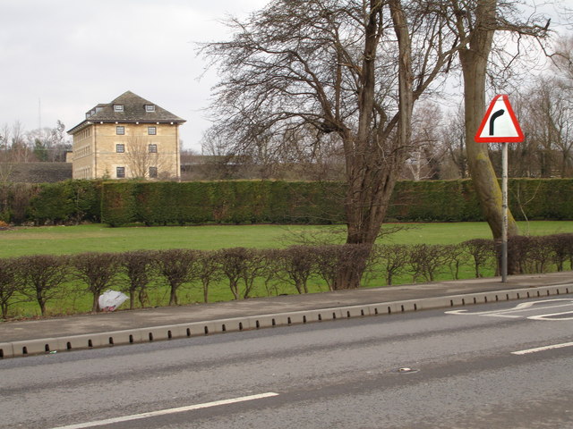
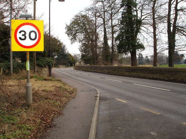
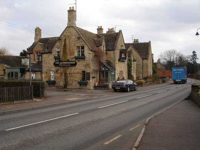
The Lake Images
Images are sourced within 2km of 52.640067/-0.44651043 or Grid Reference TF0505. Thanks to Geograph Open Source API. All images are credited.


The Lake is located at Grid Ref: TF0505 (Lat: 52.640067, Lng: -0.44651043)
Division: Soke of Peterborough
Unitary Authority: Peterborough
Police Authority: Cambridgeshire
What 3 Words
///hidden.sobbed.satellite. Near Stamford, Lincolnshire
Related Wikis

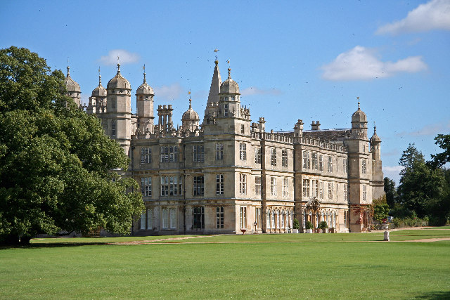
Burghley House
Burghley House () is a grand sixteenth-century English country house near Stamford, Lincolnshire. It is a leading example of the Elizabethan prodigy house...

St Martin's Without
St Martin's Without is a civil parish in the Peterborough unitary authority, in the ceremonial county of Cambridgeshire, England. It was originally created...
Pilsgate
Pilsgate is a hamlet and former civil parish, now in the parish of Barnack, in the Peterborough district, in the ceremonial county of Cambridgeshire, England...

River Gwash
The River Gwash, occasionally Guash, a tributary of the River Welland, flows through the English counties of Leicestershire, Rutland and Lincolnshire....
Nearby Amenities
Located within 500m of 52.640067,-0.44651043Have you been to The Lake?
Leave your review of The Lake below (or comments, questions and feedback).