Great Copse

Wood, Forest in Surrey Waverley

England

Great Copse

Stroud Lane, near Shamley Green Stroud Lane is a minor lane near the village of Shamley Green in Surrey.  The signs indicate that the road has a width restriction of 6 feet, 6 inches.
Stroud Lane, near Shamley Green Credit: Malc McDonald

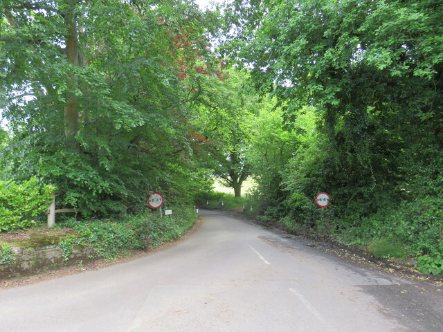
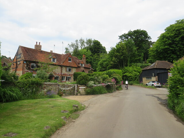
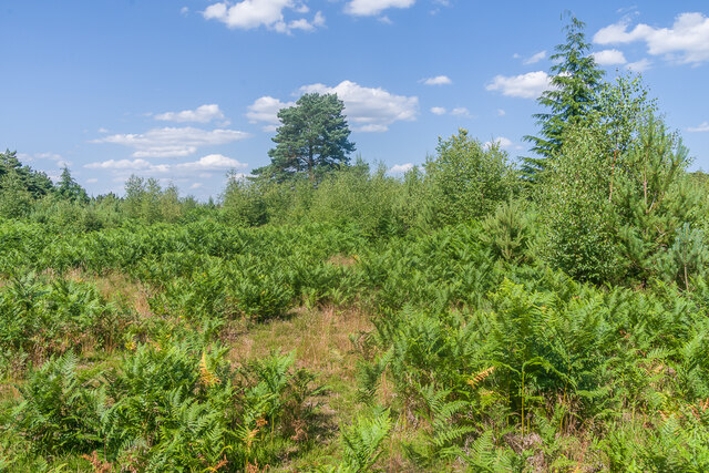
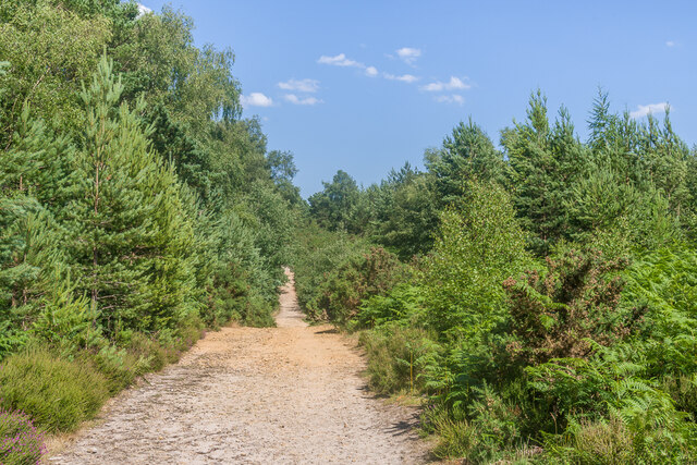
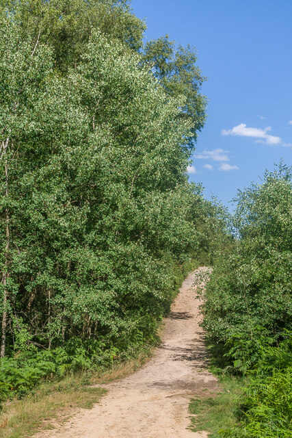
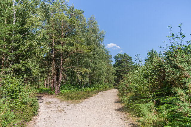
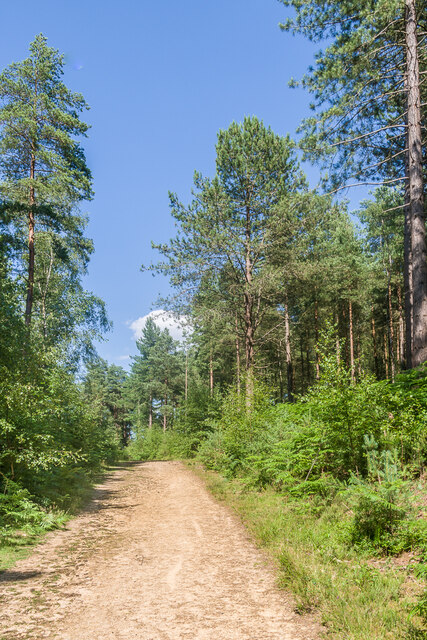
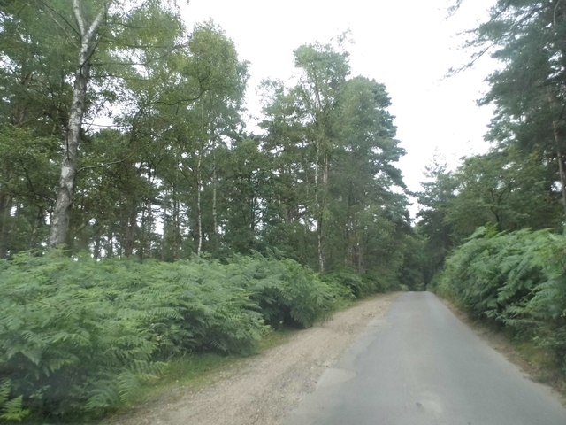
Great Copse is a picturesque woodland located in Surrey, England. Covering an area of approximately 100 acres, it is known for its dense collection of trees and diverse range of flora and fauna. The copse is situated near the village of Cranleigh, providing both residents and visitors with a tranquil escape from the hustle and bustle of everyday life.

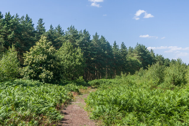
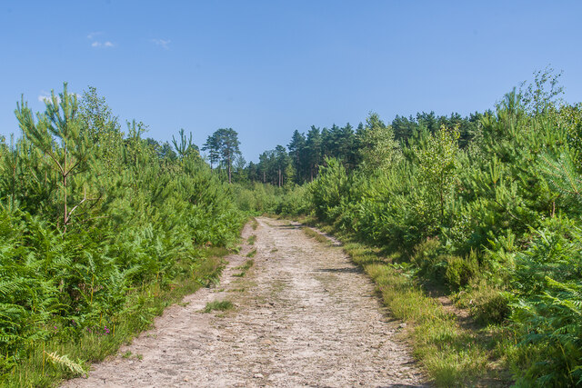
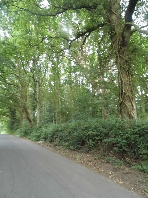
The woodland is primarily composed of broadleaf trees, such as oak, beech, and birch, which create a stunning canopy overhead. The forest floor is covered in a thick carpet of moss, ferns, and wildflowers, adding to the enchanting atmosphere of the copse. The combination of sunlight filtering through the foliage and the gentle rustling of leaves creates a serene ambiance, making it a popular spot for nature enthusiasts, walkers, and photographers.

Great Copse is home to a wide variety of wildlife, including deer, squirrels, rabbits, and a multitude of bird species. Visitors may also come across the occasional badger sett or fox den, providing a glimpse into the copse's diverse ecosystem. The woodland is a haven for birdwatchers, with species such as woodpeckers, owls, and songbirds making their homes within its borders.

The copse is well-maintained, with designated walking trails that allow visitors to explore its enchanting beauty. It also offers picnic areas and benches, providing a perfect spot to relax and enjoy the tranquil surroundings. Great Copse truly offers a natural haven for those seeking solace in nature's embrace.

If you have any feedback on the listing, please let us know in the comments section below.

Great Copse Images

Images are sourced within 2km of 51.176038/-0.49430094 or Grid Reference TQ0542. Thanks to Geograph Open Source API. All images are credited.

Stroud Lane, near Shamley Green Stroud Lane is a minor lane near the village of Shamley Green in Surrey.  The signs indicate that the road has a width restriction of 6 feet, 6 inches.
Stroud Lane, near Shamley Green
Stroud Lane is a minor lane near the village of Shamley Green in Surrey. The signs indicate that the road has a width restriction of 6 feet, 6 inches.
Farley Heath Road, Woodhill, near Shamley Green Farley Heath Road passing through the hamlet of Woodhill in Surrey.  This road is on route 22 of the National Cycle Network.
Farley Heath Road, Woodhill, near Shamley Green
Farley Heath Road passing through the hamlet of Woodhill in Surrey. This road is on route 22 of the National Cycle Network.
Rhododendrons by the roadside, Farley Heath, near Guildford Rhododendrons in bloom alongside Farley Heath Road in Surrey.  This road forms part of route 22 of the National Cycle Network.
Rhododendrons by the roadside, Farley Heath, near Guildford
Rhododendrons in bloom alongside Farley Heath Road in Surrey. This road forms part of route 22 of the National Cycle Network.
Winterfold Forest A path through a part of the southern section of Winterfold Forest.
Winterfold Forest
A path through a part of the southern section of Winterfold Forest.
Winterfold Forest A track through a part of the southern section of Winterfold Forest.
Winterfold Forest
A track through a part of the southern section of Winterfold Forest.
Winterfold Forest An area of heathland in the southern section of Winterfold Forest.
Winterfold Forest
An area of heathland in the southern section of Winterfold Forest.
Winterfold Forest A track in Winterfold Forest.  This route marks the divide between the open access southern section and the largely private northern section.
Winterfold Forest
A track in Winterfold Forest. This route marks the divide between the open access southern section and the largely private northern section.
Winterfold Forest Forest and heathland in the southern section of Winterfold Forest.
Winterfold Forest
Forest and heathland in the southern section of Winterfold Forest.
Winterfold Forest A track in the northern section of Winterfold Forest.
Winterfold Forest
A track in the northern section of Winterfold Forest.
Winterfold Forest A track in the northern section of Winterfold Forest.
Winterfold Forest
A track in the northern section of Winterfold Forest.
Winterfold Forest Trees alongside a track in the northern section of Winterfold Forest.
Winterfold Forest
Trees alongside a track in the northern section of Winterfold Forest.
Winterfold Forest A track in the northern section of Winterfold Forest.
Winterfold Forest
A track in the northern section of Winterfold Forest.
Corner on Row Lane, Shamley Green
Alderbrook Road, Smithwood Common
Shophouse Lane on Winterfold Heath
Show me another place!

Great Copse is located at Grid Ref: TQ0542 (Lat: 51.176038, Lng: -0.49430094)

Administrative County: Surrey

District: Waverley

Police Authority: Surrey

What 3 Words

///kickers.once.reputable. Near Peaslake, Surrey

Related Wikis

Cucknell's Wood

Cucknell's Wood is a 11-hectare (27-acre) nature reserve south-east of Shamley Green in Surrey. It is managed by the Surrey Wildlife Trust.Birds in this...

Winterfold Forest

Winterfold Forest is a wooded area of the broadest plateau of the western Greensand Ridge in Surrey, England. It blends seamlessly into the Hurt Wood...

Christ Church, Shamley Green

Christ Church is a Church of England parish church in Shamley Green, Surrey, England. It was constructed in 1863 as a chapel of ease and became a parish...

Hurt Wood Mill, Ewhurst

Hurt Wood Mill is a grade II* listed tower mill at Ewhurst, Surrey, England, which has been converted to residential use. == History == Hurt Wood Mill...

Farley Green, Surrey

Farley Green is a small hamlet of Albury in the Greensand Ridge where it forms the south of the Surrey Hills AONB, to the south east of Guildford. �...

Surrey Hills AONB

The Surrey Hills is a 422 km2 (163 sq mi) Area of Outstanding Natural Beauty (AONB) in Surrey, England, which principally covers parts of the North Downs...

Cranleigh School

Cranleigh School is a public school (English fee-charging boarding and day school) in the village of Cranleigh, Surrey. == History == It was opened on...

Marylands

Marylands is a Spanish-style country house on Pitch Hill, a rural part of Ewhurst, Surrey, England. It is a Grade II* listed building, designed during...

Nearby Amenities

Located within 500m of 51.176038,-0.49430094
Barrier: stile
Lat/Long: 51.1759106/-0.500364
Great Copse
Natural: wood
Lat/Long: 51.1758215/-0.4970205
Barrier: stile
Lat/Long: 51.1742924/-0.5002808
Barrier: stile
Lat/Long: 51.1750413/-0.5010389
Communication Mobile Phone: yes
Man Made: mast
Tower Type: communication
Lat/Long: 51.1777562/-0.4901652
The data included in this document is from www.openstreetmap.org. The data is made available under ODbL.

Have you been to Great Copse?

Leave your review of Great Copse below (or comments, questions and feedback).