The Lake

Lake, Pool, Pond, Freshwater Marsh in Nottinghamshire Broxtowe

England

The Lake

St Paul's Court The former St Paul's Methodist Church has been converted to residential use.
St Paul's Court Credit: Graham Hogg

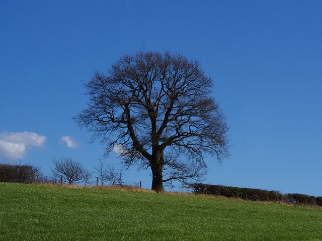
The Lake, located in Nottinghamshire, is a picturesque freshwater body encompassing a surface area of approximately 50 acres. Nestled amidst lush greenery and rolling hills, it serves as a popular recreational spot for both locals and visitors alike. The lake is surrounded by a diverse array of flora, including tall reeds, water lilies, and willow trees, which contribute to its serene and tranquil ambiance.

With its crystal-clear waters, the lake is home to a rich ecosystem of aquatic life. Various species of fish, such as carp, roach, and perch, thrive in its depths, attracting fishing enthusiasts throughout the year. Additionally, numerous bird species, including swans, ducks, and herons, frequent the lake, making it an ideal location for birdwatching enthusiasts.

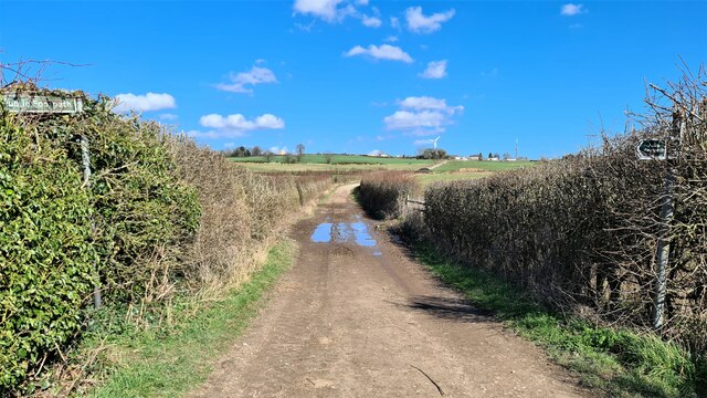
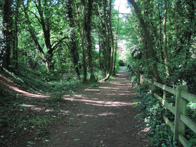
The Lake offers various activities for outdoor enthusiasts. Fishing is a popular pastime, with designated fishing spots and ample opportunities to catch prized specimens. Boating and kayaking are also available, allowing visitors to explore the lake's calm waters at their leisure. For those seeking a more relaxed experience, there are plenty of walking trails surrounding the lake, offering breathtaking views of the surrounding landscape.

Additionally, The Lake is an important conservation area, supporting a thriving freshwater marsh ecosystem. The marshland provides a habitat for a wide range of plant and animal species, including rare and protected species. Efforts are made to maintain the lake's ecological balance and preserve its natural beauty.

In conclusion, The Lake in Nottinghamshire is a haven of natural beauty and biodiversity. With its serene waters, diverse flora and fauna, and an array of recreational activities, it provides a serene escape for nature lovers and outdoor enthusiasts.

If you have any feedback on the listing, please let us know in the comments section below.
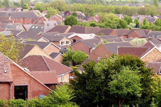
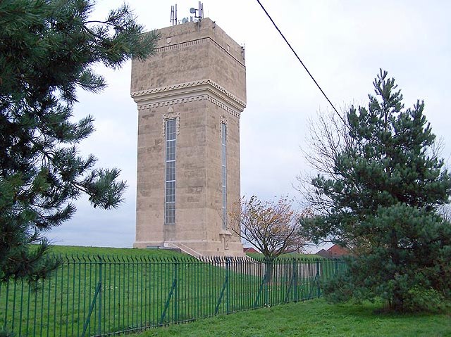
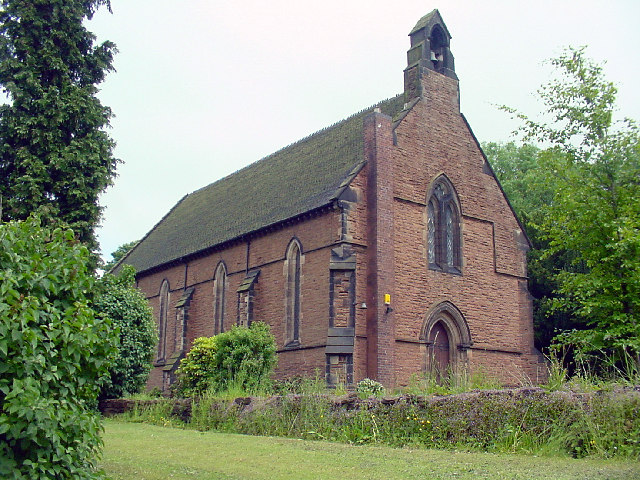
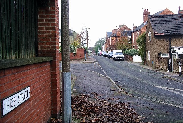
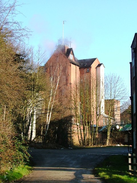
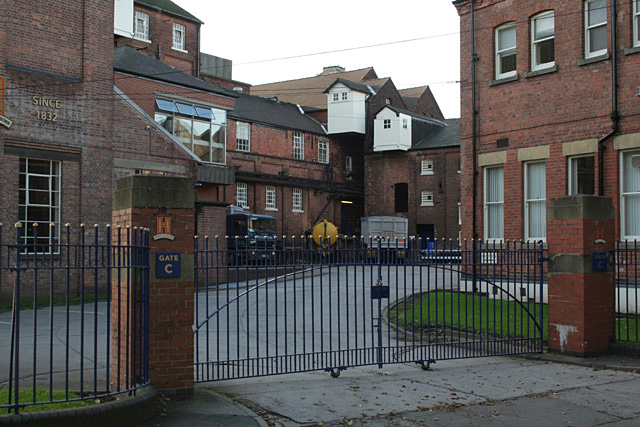
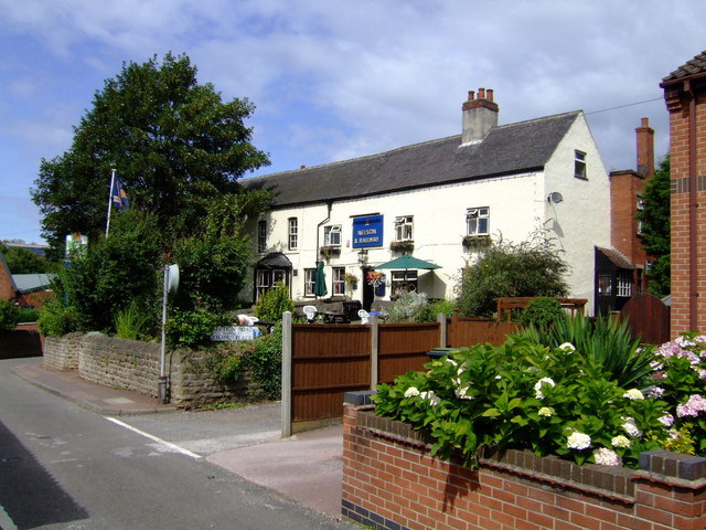
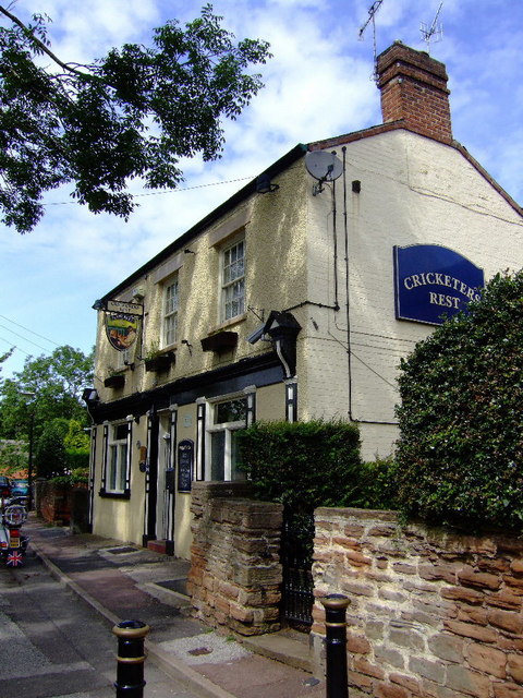
The Lake Images

Images are sourced within 2km of 52.991831/-1.2376587 or Grid Reference SK5144. Thanks to Geograph Open Source API. All images are credited.

St Paul's Court The former St Paul's Methodist Church has been converted to residential use.
St Paul's Court
The former St Paul's Methodist Church has been converted to residential use.
Winter tree on the skyline In a field boundary above Swingate Farm.
Winter tree on the skyline
In a field boundary above Swingate Farm.
Swingate Water Tower Opened in 1950 but no longer operational, the tower on Babbington Lane is visible for miles.
Swingate Water Tower
Opened in 1950 but no longer operational, the tower on Babbington Lane is visible for miles.
Former St Paul's Methodist Church, Kimberley
Swingate Water Tower Brought into use in 1950 but no longer operational
Swingate Water Tower
Brought into use in 1950 but no longer operational
Lane by Strelley Park Farm
Woodland Footpath, Kimberley A short footpath (Johnny's Hill) through woodland linking Oak Lodge Drive (Hardy Street) with the playground and park on Eastwood Road.
Woodland Footpath, Kimberley
A short footpath (Johnny's Hill) through woodland linking Oak Lodge Drive (Hardy Street) with the playground and park on Eastwood Road.
Playground, Kimberley Playground in Queen Elizabeth II Diamond Fields, Kimberley or locally known as Hall Om Wong, its unusual name from old English summarised as “Mr Hall’s home piece of land”. References date back to the 1700’s.
Playground, Kimberley
Playground in Queen Elizabeth II Diamond Fields, Kimberley or locally known as Hall Om Wong, its unusual name from old English summarised as “Mr Hall’s home piece of land”. References date back to the 1700’s.
Hall Om Wong Open Space
Watnall roofscape Modern housing to the north of the village
Watnall roofscape
Modern housing to the north of the village
Water Tower, Swingate Standing on a ridge of high ground, the tower is visible from miles around.
Water Tower, Swingate
Standing on a ridge of high ground, the tower is visible from miles around.
Parish Church Kimberley Holy Trinity church
Parish Church Kimberley
Holy Trinity church
High Street, Kimberley Not the main road through the town, as one might suppose, but runs parallel to Main Street at a higher level. Literally a high street!
High Street, Kimberley
Not the main road through the town, as one might suppose, but runs parallel to Main Street at a higher level. Literally a high street!
Entrance to  Hardys & Hansons Brewery The actual building is substantially in SK4945 but the nearest corner is in this grid square. Opened in and brewing since 1832.
Entrance to Hardys & Hansons Brewery
The actual building is substantially in SK4945 but the nearest corner is in this grid square. Opened in and brewing since 1832.
Hardy and Hanson's Kimberley Brewery A well respected family firm with a long history, it was bought by independent brewer Greene King in 2006. Sadly, this has resulted in the cessation of brewing on the site, ending a long history of independent brewers in Nottinghamshire. The flag is now basically being flown by micro-breweries.
Hardy and Hanson's Kimberley Brewery
A well respected family firm with a long history, it was bought by independent brewer Greene King in 2006. Sadly, this has resulted in the cessation of brewing on the site, ending a long history of independent brewers in Nottinghamshire. The flag is now basically being flown by micro-breweries.
Nelson and Railway, Kimberley Often considered the brewery tap of the nearby Hardy and Hanson Victorian brewery. Acquired by Greene King last year whose moneymen promptly consigned a perfectly viable brewery and their Kimbereley Ales to history. The pub still worth visiting though.
Nelson and Railway, Kimberley
Often considered the brewery tap of the nearby Hardy and Hanson Victorian brewery. Acquired by Greene King last year whose moneymen promptly consigned a perfectly viable brewery and their Kimbereley Ales to history. The pub still worth visiting though.
Cricketers Rest, Kimberley Now serving so called Kimberley Ales from Suffolk rather than the adjacent old Victorian, Hardy and Hansons brewery. Makes a lot of sense.
Cricketers Rest, Kimberley
Now serving so called Kimberley Ales from Suffolk rather than the adjacent old Victorian, Hardy and Hansons brewery. Makes a lot of sense.
Gate Inn, Kimberley Now serving so called Kimberley Ales from Suffolk rather than the nearby Hardy and Hansons Kimberley brewery, recently closed, following its acquisition by Greene King accountants.
Gate Inn, Kimberley
Now serving so called Kimberley Ales from Suffolk rather than the nearby Hardy and Hansons Kimberley brewery, recently closed, following its acquisition by Greene King accountants.
Show me another place!

The Lake is located at Grid Ref: SK5144 (Lat: 52.991831, Lng: -1.2376587)

Administrative County: Nottinghamshire

District: Broxtowe

Police Authority: Nottinghamshire

What 3 Words

///stud.jumped.sticks. Near Kimberley, Nottinghamshire

Nearby Locations

The Lake Nuthall Nuthall

Related Wikis

Nuthall

Nuthall is a village and civil parish located in Nottinghamshire, England, neighbouring Kimberley, Watnall, Cinderhill and Basford. The population of the...

St Patrick's Church, Nuthall

St Patrick's Church, Nuthall is a Grade II* listed parish church in the Church of England in Nuthall. == History == The church was first built in the 13th...

Kimberley Town F.C.

Kimberley Town Football Club was a football club based in Kimberley, Nottinghamshire, England. They joined the Midland League in 1971. They reached the...

Kimberley Miners Welfare F.C.

Kimberley Miners Welfare Football Club is a football club based in Kimberley, Nottinghamshire, England. They are currently members of the United Counties...

Swingate, Nottinghamshire

Swingate is a small English village positioned between of Kimberley and Babbington, in the Broxtowe district, in the county of Nottinghamshire. == History... ==
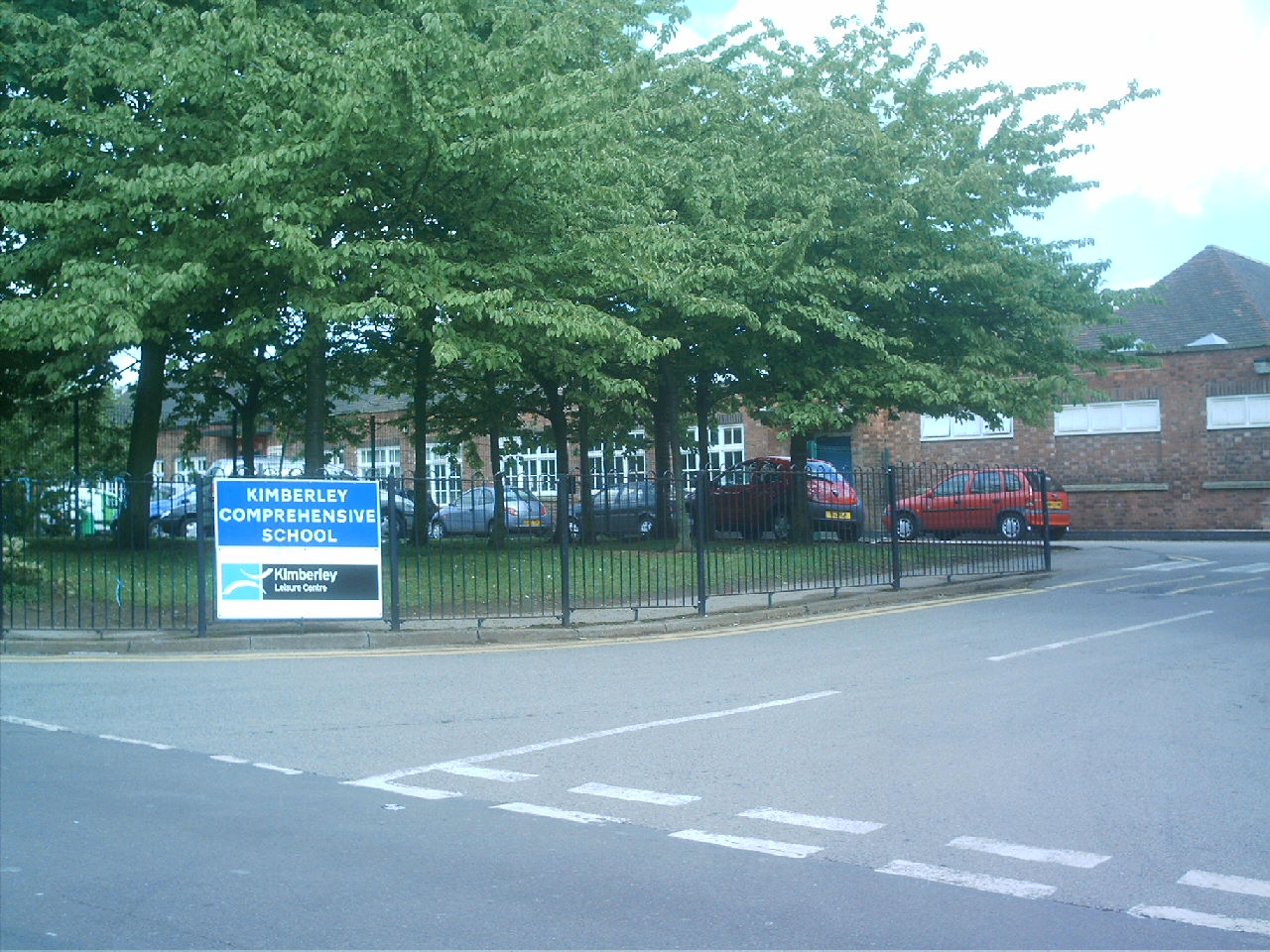
Kimberley School

The Kimberley School, formerly Kimberley Comprehensive School, is a secondary school in Kimberley, Nottinghamshire, England. It has academy status. Part...

Kimberley, Nottinghamshire

Kimberley is a town and civil parish in the Borough of Broxtowe in Nottinghamshire, England, lying 6 miles northwest of Nottingham along the A610. The...

Watnall railway station

Watnall railway station was a station serving the village of Watnall in Nottinghamshire, England. The station opened in 1882 and closed in 1917. It was...

Nearby Amenities

Located within 500m of 52.991831,-1.2376587
Motorway Junction
Nuthall Interchange
Destination: Nottingham
Destination Ref: A610
Name Signed: no
Ref: 26
Lat/Long: 52.9940125/-1.2317537
Traffic Signals
Traffic Signals: signal
Traffic Signals Direction: both
Lat/Long: 52.9952334/-1.2335154
Bus Stop
Church
Bus: yes
Naptan AtcoCode: 3300BR0107
Naptan Bearing: NW
Naptan CommonName: Church
Naptan Indicator: o/s
Naptan Landmark: Church
Naptan NaptanCode: ntsdatpd
Naptan Notes: none
Naptan Street: Watnall Road
Naptan Verified: no
Public Transport: platform
Source: naptan_import
Lat/Long: 52.9956963/-1.2339151
Bus Stop
Larkfield Road
Bus: yes
Naptan AtcoCode: 3300BR0232
Naptan NaptanCode: ntsdadat
Public Transport: platform
Lat/Long: 52.9943091/-1.2437058
Bus Stop
Edward Road
Bus: yes
Naptan AtcoCode: 3300BR0233
Naptan Bearing: W
Naptan CommonName: Edward Road
Naptan Crossing: Edward Road
Naptan Indicator: adj
Naptan NaptanCode: ntsdadaw
Naptan Notes: none
Naptan Street: Kimberley Road
Naptan Verified: no
Public Transport: platform
Source: naptan_import
Lat/Long: 52.9943248/-1.241538
Bus Stop
Maple Drive
Bus: yes
Naptan AtcoCode: 3300BR0234
Naptan Bearing: W
Naptan CommonName: Maple Drive
Naptan Crossing: Maple Drive
Naptan Indicator: opp
Naptan NaptanCode: ntsdadga
Naptan Notes: none
Naptan Street: Kimberley Road
Naptan Verified: no
Public Transport: platform
Source: naptan_import
Lat/Long: 52.9946913/-1.2384027
Bus Stop
Church
Bus: yes
Naptan AtcoCode: 3300BR0236
Naptan Bearing: W
Naptan CommonName: Church
Naptan Crossing: Nottingham Road
Naptan Indicator: opp
Naptan Landmark: Church
Naptan NaptanCode: ntsawjaw
Naptan Notes: none
Naptan Street: Kimberley Road
Naptan Verified: yes
Public Transport: platform
Shelter: no
Source: naptan_import
Lat/Long: 52.9950227/-1.2340164
Bus Stop
Edward Road
Bus: yes
Naptan AtcoCode: 3300BR0287
Naptan Bearing: E
Naptan CommonName: Edward Road
Naptan Crossing: Edward Road
Naptan Indicator: opp
Naptan NaptanCode: ntsawmtj
Naptan Notes: none
Naptan Street: Kimberley Road
Naptan Verified: no
Public Transport: platform
Source: naptan_import
Lat/Long: 52.9944895/-1.2405815
Bus Stop
Maple Drive
Bus: yes
Naptan AtcoCode: 3300BR0332
Naptan Bearing: NE
Naptan CommonName: Maple Drive
Naptan Crossing: Maple Drive
Naptan Indicator: adj
Naptan NaptanCode: ntsdadma
Naptan Notes: none
Naptan Street: Kimberley Road
Naptan Verified: no
Public Transport: platform
Source: naptan_import
Lat/Long: 52.9949196/-1.2375494
Entrance: main
Lat/Long: 52.9950784/-1.2334096
Traffic Signals
Crossing: no
Traffic Signals: signal
Lat/Long: 52.9901391/-1.2334941
Note: 40 mph speed limit sign
Source: survey
Lat/Long: 52.9897299/-1.2330505
Post Box
Collection Times: Mo-Fr 16:45; Sa 11:00
Operator: Royal Mail
Operator Wikidata: Q638098
Post Box Type: pillar
Ref: NG16 366
Royal Cypher: EIIR
Royal Cypher Wikidata: Q33102113
Source: survey
Lat/Long: 52.9945582/-1.239221
Post Box
Collection Times: Mo-Fr 16:45; Sa 11:00
Operator: Royal Mail
Operator Wikidata: Q638098
Post Box Type: pillar
Ref: NG16 203
Royal Cypher: GVIR
Royal Cypher Wikidata: Q33102169
Source: survey
Lat/Long: 52.9950065/-1.2340256
Traffic Signals
Crossing: no
Traffic Signals: signal
Lat/Long: 52.9903491/-1.2356366
Traffic Signals
Crossing: no
Traffic Signals: signal
Lat/Long: 52.9904329/-1.2356937
Addr City: Nottingham
Addr Housenumber: 3
Addr Street: Kimberley Road
Addr Suburb: Nuthall
Entrance: main
Lat/Long: 52.9947809/-1.2341375
Zen Hair Studio
Addr City: Nottingham
Addr Housenumber: 3
Addr Street: Kimberley Road
Addr Suburb: Nuthall
Entrance: main
Shop: hairdresser
Lat/Long: 52.9948304/-1.2340436
Description: Nuthall community notices
Information: board
Source: survey
Tourism: information
Lat/Long: 52.9948851/-1.2341781
Bench
Source: survey
Lat/Long: 52.9949024/-1.2342012
Bench
Source: survey
Lat/Long: 52.9949974/-1.2339026
Bench
Source: survey
Lat/Long: 52.9950065/-1.2338565
Inscription: Gate pier from the former Nuthall Temple c.1754. This plaque was placed here by Nuthall Parish Council 31st December 2000 to commemorate the millennium.
Memorial: plaque
Source: survey
Lat/Long: 52.9952345/-1.2330967
Generator Method: photovoltaic
Generator Output Electricity: yes
Generator Source: solar
Generator Type: solar_photovoltaic_panel
Location: roof
Power: generator
Lat/Long: 52.9939225/-1.2420481
Crossing
Crossing: unmarked
Crossing Markings: no
Lat/Long: 52.9893595/-1.2330054
Camera Mount: pole
Camera Type: panning
Man Made: surveillance
Surveillance: public
Surveillance Type: camera
Surveillance Zone: traffic
Lat/Long: 52.99308/-1.2318624
Give Way
Lat/Long: 52.9893948/-1.2333709
Traffic Signals
Crossing: no
Traffic Signals: signal
Lat/Long: 52.9901613/-1.2333401
Traffic Signals
Crossing: no
Traffic Signals: signal
Lat/Long: 52.9896766/-1.2354295
Traffic Signals
Crossing: no
Traffic Signals: signal
Lat/Long: 52.9896515/-1.2356199
Camera Mount: pole
Camera Type: dome
Contact Webcam: http://data.nottinghamtravelwise.org.uk/images31.jpg
Man Made: surveillance
Surveillance: public
Surveillance Type: camera
Surveillance Zone: traffic
Lat/Long: 52.989238/-1.2333887
Camera Mount: traffic_signals
Camera Type: dome
Contact Webcam: http://data.nottinghamtravelwise.org.uk/images79.jpg
Man Made: surveillance
Surveillance: public
Surveillance Type: camera
Surveillance Zone: traffic
Lat/Long: 52.9902724/-1.2354695
Camera Mount: pole
Camera Type: dome
Contact Webcam: http://data.nottinghamtravelwise.org.uk/images32.jpg
Man Made: surveillance
Surveillance: public
Surveillance Type: camera
Surveillance Zone: traffic
Lat/Long: 52.9896532/-1.2355335
The data included in this document is from www.openstreetmap.org. The data is made available under ODbL.

Have you been to The Lake?

Leave your review of The Lake below (or comments, questions and feedback).