Nuthall

Civil Parish in Nottinghamshire Broxtowe

England

Nuthall

St Paul's Court The former St Paul's Methodist Church has been converted to residential use.
St Paul's Court Credit: Graham Hogg

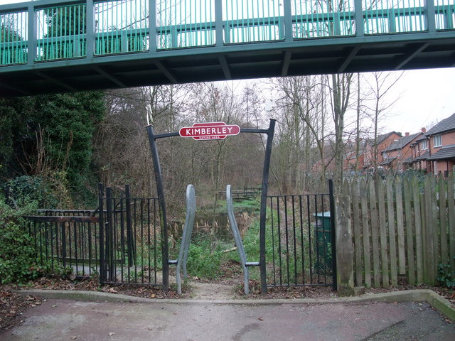
Nuthall, located in Nottinghamshire, is a civil parish situated approximately 6 miles northwest of Nottingham city center in the East Midlands region of England. It covers an area of about 3.5 square miles and is bordered by the neighborhoods of Cinderhill, Watnall, Kimberley, and Broxtowe.

Nuthall is a predominantly residential area with a population of around 7,500 people. It features a mixture of housing types, including detached houses, semi-detached houses, and some apartment complexes. The parish is known for its quiet, suburban atmosphere and green spaces, making it popular with families and professionals looking for a peaceful place to live.

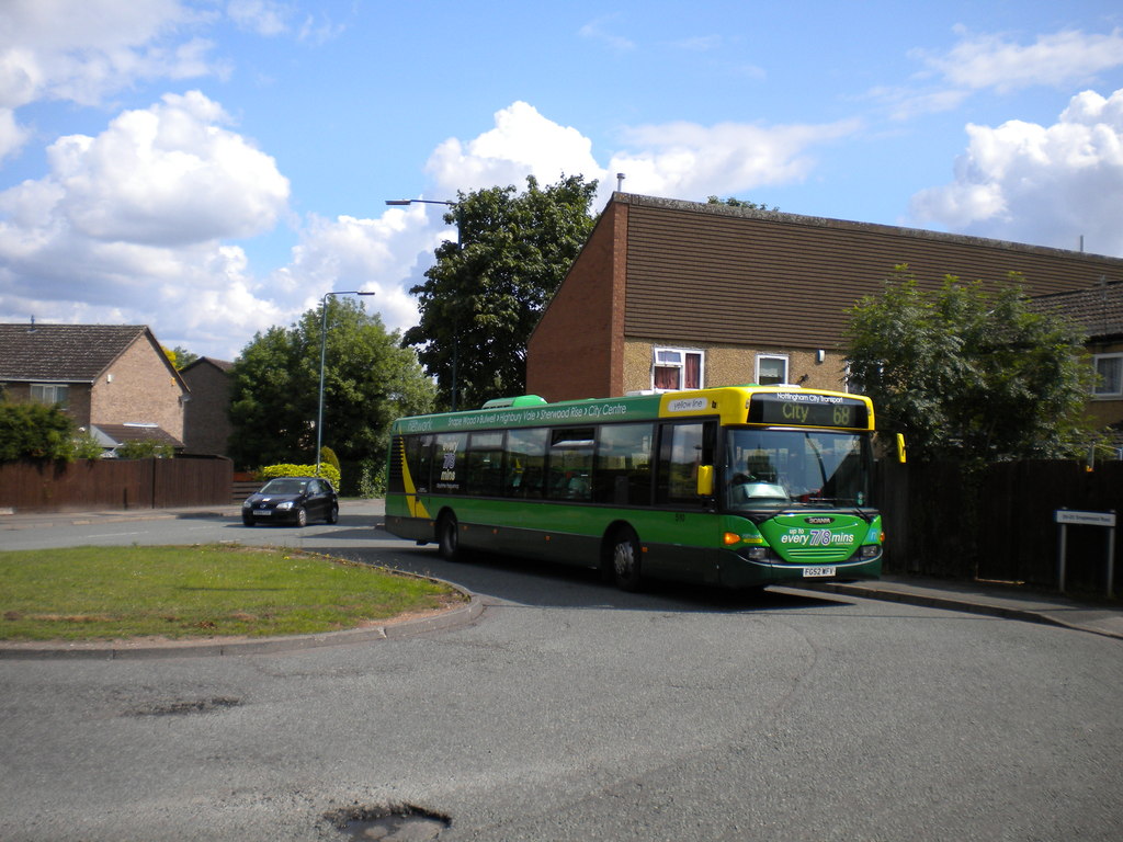
The area is well connected to the rest of Nottinghamshire and beyond, with easy access to major road networks such as the A610 and M1 motorway. Public transportation options include regular bus services that connect Nuthall to nearby towns and cities.

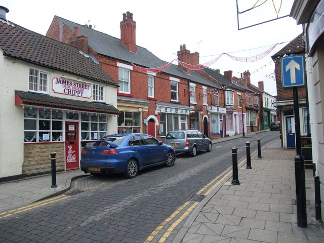
Nuthall also boasts several amenities and facilities for its residents. These include a range of local shops, supermarkets, pubs, and restaurants, providing convenient options for everyday needs. The parish is home to Nuthall Methodist Church and St. Patrick's Catholic Church, offering spiritual support to the community.

For recreational activities, Nuthall offers various green spaces and parks, including Basil Russell Playing Fields and Kimberley Brewery Recreation Ground. These areas provide opportunities for outdoor sports, leisurely walks, picnics, and other outdoor activities.

Overall, Nuthall provides a tranquil and picturesque place to live, with its combination of residential areas, amenities, and natural beauty.

If you have any feedback on the listing, please let us know in the comments section below.
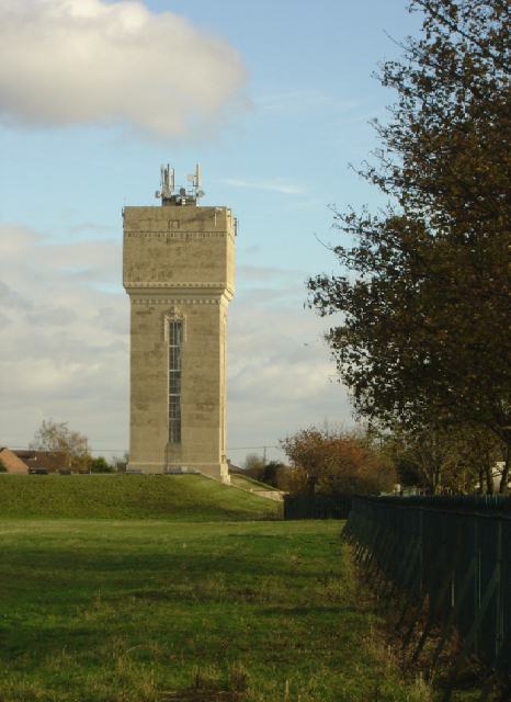
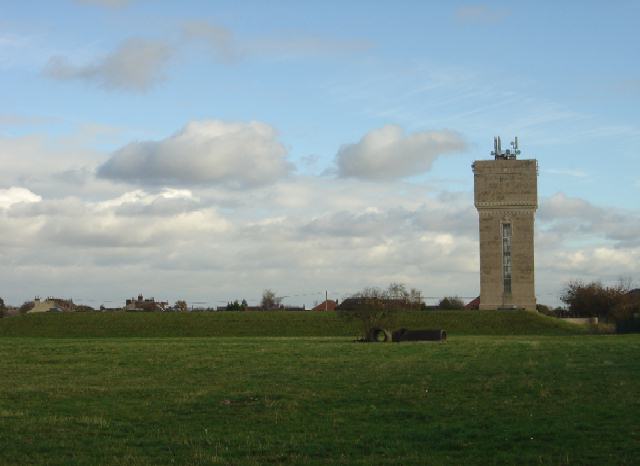
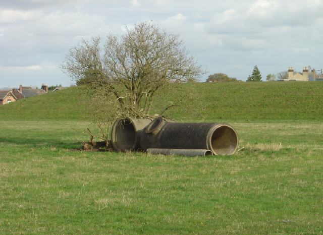
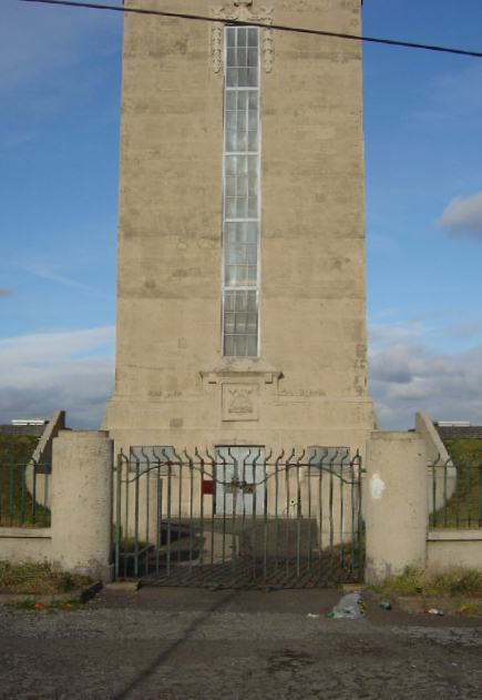
Nuthall Images

Images are sourced within 2km of 52.993883/-1.230047 or Grid Reference SK5144. Thanks to Geograph Open Source API. All images are credited.

St Paul's Court The former St Paul's Methodist Church has been converted to residential use.
St Paul's Court
The former St Paul's Methodist Church has been converted to residential use.
Swingate Water Tower Opened in 1950 but no longer operational, the tower on Babbington Lane is visible for miles.
Swingate Water Tower
Opened in 1950 but no longer operational, the tower on Babbington Lane is visible for miles.
Former St Paul's Methodist Church, Kimberley
Swingate Water Tower Brought into use in 1950 but no longer operational
Swingate Water Tower
Brought into use in 1950 but no longer operational
High Street, Kimberley Not the main road through the town, as one might suppose, but runs parallel to Main Street at a higher level. Literally a high street!
High Street, Kimberley
Not the main road through the town, as one might suppose, but runs parallel to Main Street at a higher level. Literally a high street!
Cricketers Rest, Kimberley Now serving so called Kimberley Ales from Suffolk rather than the adjacent old Victorian, Hardy and Hansons brewery. Makes a lot of sense.
Cricketers Rest, Kimberley
Now serving so called Kimberley Ales from Suffolk rather than the adjacent old Victorian, Hardy and Hansons brewery. Makes a lot of sense.
Gate Inn, Kimberley Now serving so called Kimberley Ales from Suffolk rather than the nearby Hardy and Hansons Kimberley brewery, recently closed, following its acquisition by Greene King accountants.
Gate Inn, Kimberley
Now serving so called Kimberley Ales from Suffolk rather than the nearby Hardy and Hansons Kimberley brewery, recently closed, following its acquisition by Greene King accountants.
Swingate Water Tower Built by Nottingham Corporation Waterworks to serve the City, it is more decorative than many of its kind. The radio aerials are less intrusive than they could have been.
Swingate Water Tower
Built by Nottingham Corporation Waterworks to serve the City, it is more decorative than many of its kind. The radio aerials are less intrusive than they could have been.
Swingate Reservoir and Water Tower Built by Nottingham Corporation Waterworks to serve the City, the tower is more decorative than many of its kind. The radio aerials are less intrusive than they could have been.
Swingate Reservoir and Water Tower
Built by Nottingham Corporation Waterworks to serve the City, the tower is more decorative than many of its kind. The radio aerials are less intrusive than they could have been.
Swingate Reservoir These pipes and the tree are the only things to disturb the uniformity of the grass in the reservoir compound!
Swingate Reservoir
These pipes and the tree are the only things to disturb the uniformity of the grass in the reservoir compound!
Swingate Reservoir entrance and tower Showing some of the art-deco inspired architectural detailing.
Swingate Reservoir entrance and tower
Showing some of the art-deco inspired architectural detailing.
Swingate Reservoir entrance The City of Nottingham coat of arms is prominent above the doorway.
Swingate Reservoir entrance
The City of Nottingham coat of arms is prominent above the doorway.
Spring Hill, Swingate An somewhat isolated Victorian terrace, clearly built speculatively on available land which never became fully joined up to the main development.
Spring Hill, Swingate
An somewhat isolated Victorian terrace, clearly built speculatively on available land which never became fully joined up to the main development.
The Robin Hood Way at the back of Little Lane, Swingate
Playing fields, Swingate North Street Swingate is in the background
Playing fields, Swingate
North Street Swingate is in the background
Great Northern Railway Path A short path following the former route of the Great Northern Railway. (Not to be confused with the Great Northern Railway Trail - a Sustrans project further north). The flyover pedestrian bridge connects residential areas on Edgwood Road and Newdigate Street.
Great Northern Railway Path
A short path following the former route of the Great Northern Railway. (Not to be confused with the Great Northern Railway Trail - a Sustrans project further north). The flyover pedestrian bridge connects residential areas on Edgwood Road and Newdigate Street.
Public conveniences, Main Street, Kimberley Closed for renovation.
Public conveniences, Main Street, Kimberley
Closed for renovation.
James Street, Kimberley
Show me another place!

Nuthall is located at Grid Ref: SK5144 (Lat: 52.993883, Lng: -1.230047)

Administrative County: Nottinghamshire

District: Broxtowe

Police Authority: Nottinghamshire

What 3 Words

///tries.faster.splice. Near Kimberley, Nottinghamshire

Nearby Locations

Nuthall The Lake Nuthall

Related Wikis

Nuthall

Nuthall is a village and civil parish located in Nottinghamshire, England, neighbouring Kimberley, Watnall, Cinderhill and Basford. The population of the...

St Patrick's Church, Nuthall

St Patrick's Church, Nuthall is a Grade II* listed parish church in the Church of England in Nuthall. == History == The church was first built in the 13th...

Hempshill Hall Primary School

The Hempshill Hall Primary School is a primary school in Bulwell, Nottingham that is situated within, and serves, the surrounding estate of Hempshill...

Seller's Wood

Seller's Wood is a Site of Special Scientific Interest on the northern outskirts of Nottingham, England. There are several wildlife ponds within the site...

Kimberley Town F.C.

Kimberley Town Football Club was a football club based in Kimberley, Nottinghamshire, England. They joined the Midland League in 1971. They reached the...

Kimberley Miners Welfare F.C.

Kimberley Miners Welfare Football Club is a football club based in Kimberley, Nottinghamshire, England. They are currently members of the United Counties...

Snape Wood

Snape Wood is a council estate located in Bulwell Ward at the City of Nottingham. The estate is located 4.4 miles (7 km) from the City Centre, and lies...

Watnall railway station

Watnall railway station was a station serving the village of Watnall in Nottinghamshire, England. The station opened in 1882 and closed in 1917. It was...

Nearby Amenities

Located within 500m of 52.993883,-1.230047
Motorway Junction
Nuthall Interchange
Destination: Nottingham
Destination Ref: A610
Name Signed: no
Ref: 26
Lat/Long: 52.9940125/-1.2317537
Nuthall
Is In County: Nottinghamshire
Is In District: Broxtowe
Place: village
Wikidata: Q7070448
Wikipedia: en:Nuthall
Lat/Long: 52.9956513/-1.2330242
Traffic Signals
Traffic Signals: signal
Traffic Signals Direction: both
Lat/Long: 52.9952334/-1.2335154
Bus Stop
Church
Bus: yes
Local Ref: NR
Naptan AtcoCode: 3300BR0106
Naptan Bearing: SE
Naptan CommonName: Church
Naptan Crossing: Back Lane
Naptan Indicator: nr
Naptan Landmark: Church
Naptan NaptanCode: ntsdatpa
Naptan Notes: none
Naptan Street: Watnall Road
Naptan Verified: no
Public Transport: platform
Source: naptan_import
Lat/Long: 52.9959929/-1.2339098
Bus Stop
Church
Bus: yes
Naptan AtcoCode: 3300BR0107
Naptan Bearing: NW
Naptan CommonName: Church
Naptan Indicator: o/s
Naptan Landmark: Church
Naptan NaptanCode: ntsdatpd
Naptan Notes: none
Naptan Street: Watnall Road
Naptan Verified: no
Public Transport: platform
Source: naptan_import
Lat/Long: 52.9956963/-1.2339151
Bus Stop
Church
Bus: yes
Naptan AtcoCode: 3300BR0236
Naptan Bearing: W
Naptan CommonName: Church
Naptan Crossing: Nottingham Road
Naptan Indicator: opp
Naptan Landmark: Church
Naptan NaptanCode: ntsawjaw
Naptan Notes: none
Naptan Street: Kimberley Road
Naptan Verified: yes
Public Transport: platform
Shelter: no
Source: naptan_import
Lat/Long: 52.9950227/-1.2340164
Bus Stop
Church
Bus: yes
Naptan AtcoCode: 3300BR0237
Naptan Bearing: E
Naptan CommonName: Church
Naptan Indicator: adj
Naptan Landmark: Church
Naptan NaptanCode: ntsawjda
Naptan Notes: none
Naptan Street: Nottingham Road
Naptan Verified: no
Public Transport: platform
Source: naptan_import
Lat/Long: 52.995481/-1.2325928
Bus Stop
Nottingham Road
Bus: yes
Naptan AtcoCode: 3300BR0295
Naptan Bearing: SE
Naptan CommonName: Nottingham Road
Naptan Indicator: SE-bound
Naptan Landmark: Nuthall Island
Naptan NaptanCode: ntsawmpd
Naptan Notes: none
Naptan PlusbusZoneRef: NTNG
Naptan Street: Nottingham Road
Naptan Verified: no
Public Transport: platform
Source: naptan_import
Lat/Long: 52.9915717/-1.2244681
Bus Stop
Nottingham Road
Bus: yes
Naptan AtcoCode: 3300BR0296
Naptan Bearing: NW
Naptan CommonName: Nottingham Road
Naptan Indicator: NW-bound
Naptan NaptanCode: ntsawmpg
Naptan Notes: none
Naptan Street: Nottingham Road
Naptan Verified: no
Public Transport: platform
Source: naptan_import
Lat/Long: 52.9925621/-1.2260743
Bus Stop
Spring Terrace
Bus: yes
Naptan AtcoCode: 3300BR0297
Naptan Bearing: NW
Naptan CommonName: Spring Terrace
Naptan Crossing: Spring Terrace
Naptan Indicator: opp
Naptan NaptanCode: ntsawmpj
Naptan Notes: none
Naptan Street: Nottingham Road
Naptan Verified: no
Public Transport: platform
Source: naptan_import
Lat/Long: 52.9944513/-1.2290502
Bus Stop
Spring Terrace
Bus: yes
Naptan AtcoCode: 3300BR0455
Naptan Bearing: SE
Naptan CommonName: Spring Terrace
Naptan Crossing: Spring Terrace
Naptan Indicator: adj
Naptan NaptanCode: ntsdmdgd
Naptan Notes: None
Naptan Street: Nottingham Road
Naptan Verified: no
Public Transport: platform
Source: naptan_import
Lat/Long: 52.9948757/-1.2293406
Recycling
Recycling Glass: yes
Recycling Type: container
Source: survey
Lat/Long: 52.9936542/-1.2284895
Entrance: main
Lat/Long: 52.9950784/-1.2334096
Entrance: main
Lat/Long: 52.9952532/-1.2326029
Note: Located on Nottingham Road not the motorway
Removed Amenity: telephone
Source: survey
Lat/Long: 52.9951246/-1.231229
Traffic Signals
Crossing: no
Traffic Signals: signal
Lat/Long: 52.9901391/-1.2334941
Post Box
Collection Times: Mo-Fr 16:45; Sa 11:00
Operator: Royal Mail
Operator Wikidata: Q638098
Post Box Type: pillar
Ref: NG16 203
Royal Cypher: GVIR
Royal Cypher Wikidata: Q33102169
Source: survey
Lat/Long: 52.9950065/-1.2340256
Addr City: Nottingham
Addr Housenumber: 3
Addr Street: Kimberley Road
Addr Suburb: Nuthall
Entrance: main
Lat/Long: 52.9947809/-1.2341375
Zen Hair Studio
Addr City: Nottingham
Addr Housenumber: 3
Addr Street: Kimberley Road
Addr Suburb: Nuthall
Entrance: main
Shop: hairdresser
Lat/Long: 52.9948304/-1.2340436
Description: Nuthall community notices
Information: board
Source: survey
Tourism: information
Lat/Long: 52.9948851/-1.2341781
Bench
Source: survey
Lat/Long: 52.9949024/-1.2342012
Bench
Source: survey
Lat/Long: 52.9949974/-1.2339026
Bench
Source: survey
Lat/Long: 52.9950065/-1.2338565
Inscription: Gate pier from the former Nuthall Temple c.1754. This plaque was placed here by Nuthall Parish Council 31st December 2000 to commemorate the millennium.
Memorial: plaque
Source: survey
Lat/Long: 52.9952345/-1.2330967
Entrance: main
Lat/Long: 52.9955292/-1.2322465
Power: pole
Source: b
Lat/Long: 52.9944886/-1.2238518
Addr Housenumber: 35
Addr Street: Nottingham Road
Source: survey
Lat/Long: 52.9945369/-1.2285375
Power: pole
Source: b
Lat/Long: 52.9957945/-1.2268852
Power: pole
Source: b
Lat/Long: 52.9940511/-1.2228621
Addr Housenumber: 1
Addr Street: Spring Terrace
Source: survey
Lat/Long: 52.9946365/-1.2289495
Power: pole
Source: b
Lat/Long: 52.9949147/-1.2248333
Power: pole
Source: b
Lat/Long: 52.9962111/-1.2278349
Power: pole
Source: b
Lat/Long: 52.9967857/-1.2291678
Power: pole
Source: b
Lat/Long: 52.9953716/-1.2259009
Addr Housenumber: 6
Addr Street: Spring Terrace
Source: survey
Lat/Long: 52.9947487/-1.2286997
Addr Housenumber: 4
Addr Street: Spring Terrace
Source: survey
Lat/Long: 52.9947116/-1.2287829
Addr Housenumber: 5
Addr Street: Spring Terrace
Source: survey
Lat/Long: 52.9947294/-1.2287507
Addr Housenumber: 3
Addr Street: Spring Terrace
Source: survey
Lat/Long: 52.9946875/-1.2288392
Addr Housenumber: 2
Addr Street: Spring Terrace
Source: survey
Lat/Long: 52.9946599/-1.2288901
Camera Mount: pole
Camera Type: panning
Man Made: surveillance
Surveillance: public
Surveillance Type: camera
Surveillance Zone: traffic
Lat/Long: 52.99308/-1.2318624
Fast Food
Baadshah
Addr City: Nottingham
Addr Housenumber: 4A
Addr Postcode: NG16 1DP
Addr Street: Nottingham Road
Addr Suburb: Nuthall
Lat/Long: 52.9952167/-1.2326685
Traffic Signals
Crossing: no
Traffic Signals: signal
Lat/Long: 52.9901613/-1.2333401
Direction: 140
Man Made: surveillance
Surveillance: public
Surveillance Type: ALPR
Surveillance Zone: traffic
Lat/Long: 52.9941319/-1.2286659
The data included in this document is from www.openstreetmap.org. The data is made available under ODbL.

Have you been to Nuthall?

Leave your review of Nuthall below (or comments, questions and feedback).