Clodis Water

Lake, Pool, Pond, Freshwater Marsh in Shetland

Scotland

Clodis Water

Winding moorland road B9081 north of Burravoe.
Winding moorland road Credit: Oliver Dixon

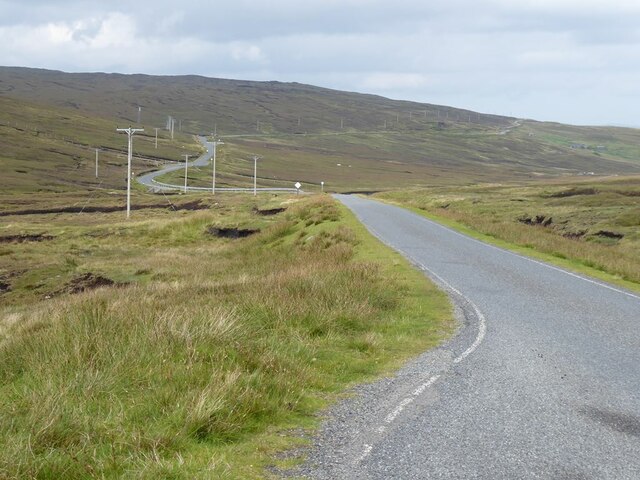
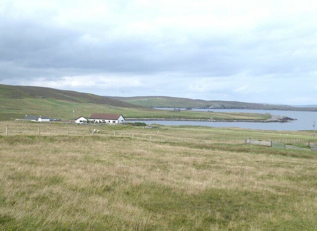
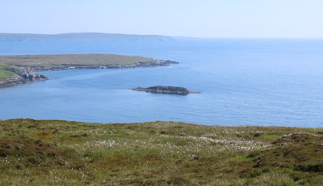
Clodis Water is a small freshwater lake located in the scenic Shetland Islands, which are part of Scotland. Spanning an area of approximately 2 hectares, this tranquil body of water is nestled amidst the picturesque countryside, offering visitors a serene and idyllic setting to explore.

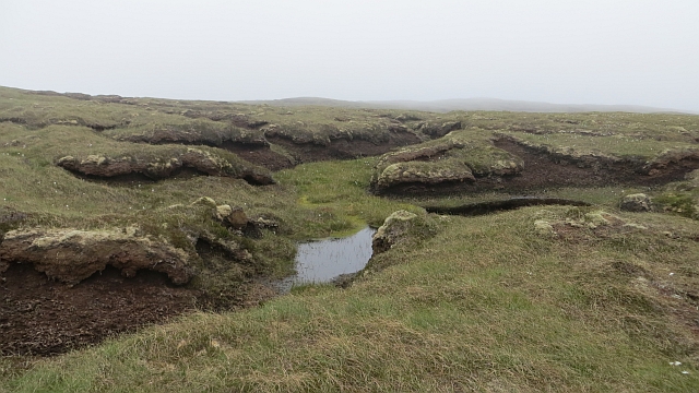
The lake is fed by a combination of rainfall and a small stream that flows into it, ensuring a constant supply of fresh water. It is surrounded by lush vegetation, including reeds and water lilies, which provide a natural habitat for a variety of aquatic plants and wildlife.

Clodis Water boasts crystal clear waters, making it a popular spot for swimming during the summer months. The lake's depth varies, with some areas reaching up to 5 meters. Its sandy bottom and gentle slopes make it a safe and enjoyable place for families and individuals to take a refreshing dip.

Additionally, Clodis Water is home to an array of fish species, such as brown trout and perch, making it a haven for anglers. Fishing enthusiasts can cast their lines from the shore or rent a small boat to explore the deeper parts of the lake.

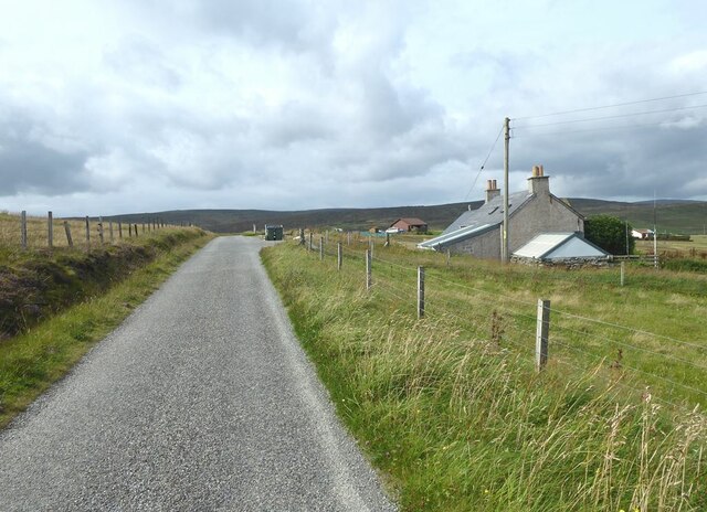
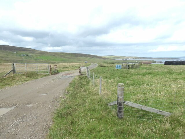
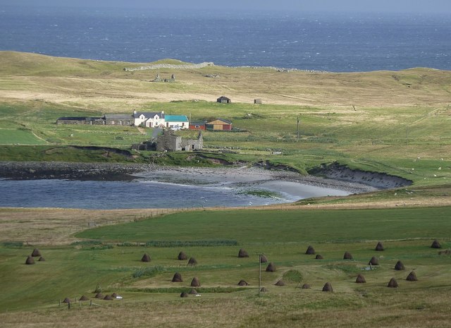
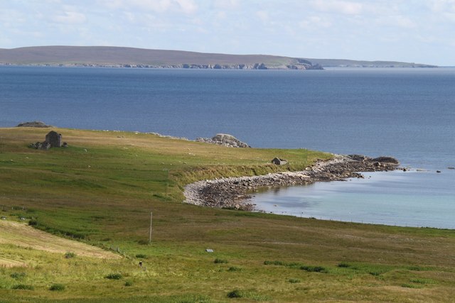
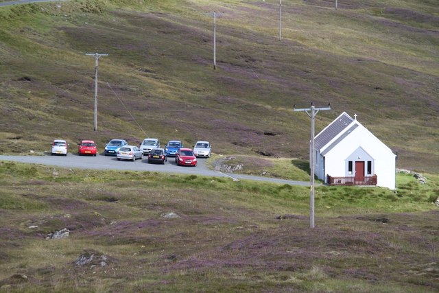
The surrounding area offers ample opportunities for nature lovers to enjoy the beauty of the Shetland Islands. Walking trails meander through the nearby countryside, providing scenic views of the lake and its surroundings. Birdwatchers will also appreciate the diverse avian population that frequents the area, including ducks, swans, and various species of waterfowl.

Overall, Clodis Water is a charming and serene freshwater lake that offers a range of recreational activities for visitors to enjoy while immersing themselves in the natural splendor of the Shetland Islands.

If you have any feedback on the listing, please let us know in the comments section below.

Clodis Water Images

Images are sourced within 2km of 60.539032/-1.0677006 or Grid Reference HU5184. Thanks to Geograph Open Source API. All images are credited.

Winding moorland road B9081 north of Burravoe.
Winding moorland road
B9081 north of Burravoe.
Road at Gossabrough
Road at Gossabrough
Driveway to Gudon
Driveway to Gudon
Gudon With the Wick of Gossabrough.
Gudon
With the Wick of Gossabrough.
Ness of Queyon Taken on the B9081 as we pass through East Yell, Yell, Shetland, I am looking across Otters Wick to the Ness of Queyon, the croft of the same name and the Hill of Queyon. The cliffs of Hascosay and Mid Yell can be seen beyond.
Ness of Queyon
Taken on the B9081 as we pass through East Yell, Yell, Shetland, I am looking across Otters Wick to the Ness of Queyon, the croft of the same name and the Hill of Queyon. The cliffs of Hascosay and Mid Yell can be seen beyond.
Black Skerry Taken on the B9081 as we pass through East Yell, Yell, Shetland, I am looking east across common cotton-grass and the water of Otters Wick to Black Skerry. The Ness of Queyon is to the left of shot in the middle distance with Mid Yell beyond.
Black Skerry
Taken on the B9081 as we pass through East Yell, Yell, Shetland, I am looking east across common cotton-grass and the water of Otters Wick to Black Skerry. The Ness of Queyon is to the left of shot in the middle distance with Mid Yell beyond.
View over Gossabrough Hay stooks dot the field in front of a bay called the Wick of Gossabrough, named after the small collection of crofts and houses that surround it. The row of buildings on the far side of the bay seems to be called "Bottom" according to the map, and I think that the ruined building in front of them is Gossabrough Haa. Beyond them, in the distance, can be seen a wall on the Ness of  Gossabrough, it is in the adjacent square to the east (as are all the building that can be seen), and runs from HU53588307 to HU53508315
View over Gossabrough
Hay stooks dot the field in front of a bay called the Wick of Gossabrough, named after the small collection of crofts and houses that surround it. The row of buildings on the far side of the bay seems to be called "Bottom" according to the map, and I think that the ruined building in front of them is Gossabrough Haa. Beyond them, in the distance, can be seen a wall on the Ness of Gossabrough, it is in the adjacent square to the east (as are all the building that can be seen), and runs from HU53588307 to HU53508315
East Yell: postbox № ZE2 38, Holligarth A small, lonely postbox serving the hamlet of Gossabrough, which lies alongside the shore of the bay, Wick of Gossabrough, which we see in the background. The box is emptied at 9:30am daily, except Sunday.
East Yell: postbox № ZE2 38, Holligarth
A small, lonely postbox serving the hamlet of Gossabrough, which lies alongside the shore of the bay, Wick of Gossabrough, which we see in the background. The box is emptied at 9:30am daily, except Sunday.
East Yell: the White Wife This unusual monument commemorates a shipping disaster in April 1924. Setting sail from Gothenburg, bound for Chile, the 'Bohus' had been sailing for three days when a navigational error resulted in the ship becoming grounded a short distance from here, some 60 miles off her intended course. Within half an hour most of the ship had broken up.

Four of the 39 on board perished, and the survivors owed a lot to the men of Yell who acted swiftly when they saw the tragedy emerging.

The ship's figurehead was washed ashore in September 1924 and this is what we see here: erected by local people as a memorial to the tragedy, within sight of where it occurred.
East Yell: the White Wife
This unusual monument commemorates a shipping disaster in April 1924. Setting sail from Gothenburg, bound for Chile, the 'Bohus' had been sailing for three days when a navigational error resulted in the ship becoming grounded a short distance from here, some 60 miles off her intended course. Within half an hour most of the ship had broken up. Four of the 39 on board perished, and the survivors owed a lot to the men of Yell who acted swiftly when they saw the tragedy emerging. The ship's figurehead was washed ashore in September 1924 and this is what we see here: erected by local people as a memorial to the tragedy, within sight of where it occurred.
East Yell: the White Wife looks out Another view of <a href="https://www.geograph.org.uk/photo/2651277">HU5285 : East Yell: the White Wife</a>, from behind her as she looks out across Otters Wick. Black Skerry is the rock in the centre of the picture.

This unusual monument commemorates a shipping disaster in April 1924. Setting sail from Gothenburg, bound for Chile, the 'Bohus' had been sailing for three days when a navigational error resulted in the ship becoming grounded a short distance from here, some 60 miles off her intended course. Within half an hour most of the ship had broken up.

Four of the 39 on board perished, and the survivors owed a lot to the men of Yell who acted swiftly when they saw the tragedy emerging.

The ship's figurehead was washed ashore in September 1924 and this is what we see here: erected by local people as a memorial to the tragedy, within sight of where it occurred.
East Yell: the White Wife looks out
Another view of HU5285 : East Yell: the White Wife, from behind her as she looks out across Otters Wick. Black Skerry is the rock in the centre of the picture. This unusual monument commemorates a shipping disaster in April 1924. Setting sail from Gothenburg, bound for Chile, the 'Bohus' had been sailing for three days when a navigational error resulted in the ship becoming grounded a short distance from here, some 60 miles off her intended course. Within half an hour most of the ship had broken up. Four of the 39 on board perished, and the survivors owed a lot to the men of Yell who acted swiftly when they saw the tragedy emerging. The ship's figurehead was washed ashore in September 1924 and this is what we see here: erected by local people as a memorial to the tragedy, within sight of where it occurred.
East Yell: north edge of Otters Wick Looking down on the head of Otters Wick.
East Yell: north edge of Otters Wick
Looking down on the head of Otters Wick.
East Yell: the Methodist chapel A small chapel in the Otterswick area of East Yell.
East Yell: the Methodist chapel
A small chapel in the Otterswick area of East Yell.
Wick of Gossabrough Looking towards the beach
Wick of Gossabrough
Looking towards the beach
Small Church A small church near Otterswick
Small Church
A small church near Otterswick
Bogs, Hill of Canisdale Peat hags on the hills of Yell which is a very boggy island.
Bogs, Hill of Canisdale
Peat hags on the hills of Yell which is a very boggy island.
Bogs, Canisdale There are a few big holes here where the roof has fallen in on burns which run through the deep peat deposits.
Bogs, Canisdale
There are a few big holes here where the roof has fallen in on burns which run through the deep peat deposits.
Triangulation pillar, Ward of Otterswick Set in a plain of exposed quartzite scree, peat does not form easily on windy ridges. This is simply named "Yell" on the Ordnance Survey database.
Triangulation pillar, Ward of Otterswick
Set in a plain of exposed quartzite scree, peat does not form easily on windy ridges. This is simply named "Yell" on the Ordnance Survey database.
Moorland, Ward of Otterswick Deep peat deposits cover much of Yell.
Moorland, Ward of Otterswick
Deep peat deposits cover much of Yell.
Show me another place!

Clodis Water is located at Grid Ref: HU5184 (Lat: 60.539032, Lng: -1.0677006)

Unitary Authority: Shetland Islands

Police Authority: Highlands and Islands

What 3 Words

///interview.sleeping.widget. Near Ulsta, Shetland Islands

Related Wikis

Otterswick

Otterswick is a hamlet on the island of Yell in the Shetland Islands, on the inlet of Otters Wick. It is on the east side of the island. There is also...

Gossabrough

Gossabrough is a coastal hamlet, wick and ness on the southeast side of the island of Yell, Shetland, Scotland. The Wick of Gossabrough lies between the...

Aywick

Aywick is a small settlement on the east side of Yell, an island forming part of the Shetland Islands north of Scotland.The naturalist Bobby Tulloch was...

Burravoe

Burravoe is a community on the north shore of Burra Voe, in the south-east part of the island of Yell in the Shetland Islands, Scotland. The name Burravoe...

Old Haa Museum

The Old Haa of Brough in located in Burravoe, Yell, Shetland, Scotland. Built for Robert Tyrie, a merchant, in 1672, houses the local museum for Burravoe...

Burra Voe

Burra Voe (Old Norse: Borgavagr, Broch Bay) is sheltered bay (voe) at the southeast corner of the island of Yell. The village of Burravoe (HU525795) is...

Copister

Copister is a village in Yell. It is a former centre for haaf fishing, and has a shingle beach. == References == Blackadder, Jill Slee (2003). Shetland...

Ulsta

Ulsta is a village in the south-west of the island of Yell, Shetland, Scotland. North Ness Hall is the local community facility. The car ferry to Toft...

Have you been to Clodis Water?

Leave your review of Clodis Water below (or comments, questions and feedback).