Loch of Brough

Lake, Pool, Pond, Freshwater Marsh in Shetland

Scotland

Loch of Brough

Noss National Nature Reserve Taken from a tour boat moored in Nesti Voe, Noss, Shetland, I am looking west to Big Ness where the wardens of Noss National Nature Reserve are located. NatureScot operates an inflatable ferry boat across Noss Sound (beyond the buildings pictured) during the summer months to allow walkers to get from Bressay to Noss.
Noss National Nature Reserve Credit: Carroll Pierce

Loch of Brough, located in the Shetland Islands, is a picturesque freshwater loch that offers stunning views and a diverse range of flora and fauna. Spanning approximately 42 hectares, the loch is surrounded by rolling hills and heather-covered moorland, creating a serene and tranquil atmosphere.

The loch itself is relatively shallow, with an average depth of around 5 meters, and is fed by several small streams and springs that flow into its waters. This freshwater source supports a rich and varied ecosystem, attracting a wide variety of bird species, including migratory birds such as greylag geese, whooper swans, and teal. Birdwatchers and nature enthusiasts flock to Loch of Brough to observe these magnificent creatures in their natural habitat.

The surrounding area of the loch is also home to a diverse array of plant life, including water lilies, reeds, and marsh marigolds. These plants provide a habitat for numerous amphibians, such as frogs and newts, as well as insects and small mammals.

Loch of Brough is a popular spot for outdoor activities, including fishing and boating. Anglers can expect to catch brown trout and arctic char, while boaters can enjoy peaceful rides on the calm waters, taking in the breathtaking scenery.

Overall, Loch of Brough is a haven for nature lovers and a place of great beauty. Its tranquil waters, diverse wildlife, and stunning surroundings make it a must-visit destination for anyone exploring the Shetland Islands.

If you have any feedback on the listing, please let us know in the comments section below.

Loch of Brough Images

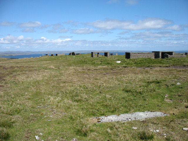
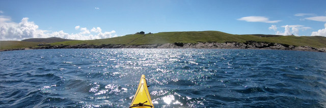
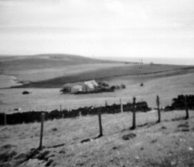
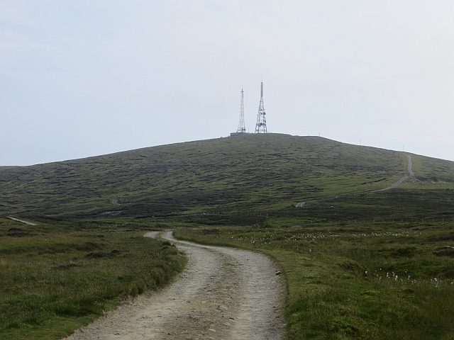
Images are sourced within 2km of 60.148598/-1.078844 or Grid Reference HU5140. Thanks to Geograph Open Source API. All images are credited.

Noss National Nature Reserve Taken from a tour boat moored in Nesti Voe, Noss, Shetland, I am looking west to Big Ness where the wardens of Noss National Nature Reserve are located. NatureScot operates an inflatable ferry boat across Noss Sound (beyond the buildings pictured) during the summer months to allow walkers to get from Bressay to Noss.
Noss National Nature Reserve
Taken from a tour boat moored in Nesti Voe, Noss, Shetland, I am looking west to Big Ness where the wardens of Noss National Nature Reserve are located. NatureScot operates an inflatable ferry boat across Noss Sound (beyond the buildings pictured) during the summer months to allow walkers to get from Bressay to Noss.
Gungstie, Noss I am looking back as we leave Noss Sound, Shetland, on our way back to Lerwick.  The rocky outcrop of Gungstie is to the right of shot and the distinctive Hill of Setter (to the south of Noss) can be seen in the distance.
Gungstie, Noss
I am looking back as we leave Noss Sound, Shetland, on our way back to Lerwick. The rocky outcrop of Gungstie is to the right of shot and the distinctive Hill of Setter (to the south of Noss) can be seen in the distance.
The lane to Setter, Bressay Running across the slopes of the Hill of Setter.
The lane to Setter, Bressay
Running across the slopes of the Hill of Setter.
The summit of the Hill of Setter, Bressay With the remains of a World War II anti-aircraft battery.
The summit of the Hill of Setter, Bressay
With the remains of a World War II anti-aircraft battery.
The lane to Pettifirth, Bressay Ward of Bressay, the highest point on the island, is in the background.
The lane to Pettifirth, Bressay
Ward of Bressay, the highest point on the island, is in the background.
Getting onto the Noss ferry Whilst the Bressay ferry used to get here takes vehicles and has a "proper" dock, the Noss ferry is only for very small numbers of pedestrians, so needs no more than a set of steps down to sea level. There's no timetable - when the ferryman notices that there are people waiting, he will come across to get them. Whether this works on foggy days is another question entirely, and not one we needed answered, as we were visiting in our own boats, just popping over to look at the ferry terminal out of curiosity.
Getting onto the Noss ferry
Whilst the Bressay ferry used to get here takes vehicles and has a "proper" dock, the Noss ferry is only for very small numbers of pedestrians, so needs no more than a set of steps down to sea level. There's no timetable - when the ferryman notices that there are people waiting, he will come across to get them. Whether this works on foggy days is another question entirely, and not one we needed answered, as we were visiting in our own boats, just popping over to look at the ferry terminal out of curiosity.
Paddling down Noss Sound Somehow, using a map, one always thinks of heading south as "down" though, of course, on average, the sea is level, and as we were going against the very start of the flood tide we might actually be going a tiny bit uphill ! Tidal flows at Noss are generally insignificant except in this shallow channel, and we were going anticlockwise round the island more to have the sun behind us on the scenic side than to take any advantage of the flow. The boat powering away from us had been stationary as we arrived, but seemed to form a sudden desire to leave as (or perhaps before) their clients realised just how much closer to the wildlife sea kayakers can get than anyone in a big boat. The Sound had already given us close encounters with Seals, Eider, Cormorants and Terns diving in just metres away. The outer side promised huge numbers of Gannets and Razorbills...
Paddling down Noss Sound
Somehow, using a map, one always thinks of heading south as "down" though, of course, on average, the sea is level, and as we were going against the very start of the flood tide we might actually be going a tiny bit uphill ! Tidal flows at Noss are generally insignificant except in this shallow channel, and we were going anticlockwise round the island more to have the sun behind us on the scenic side than to take any advantage of the flow. The boat powering away from us had been stationary as we arrived, but seemed to form a sudden desire to leave as (or perhaps before) their clients realised just how much closer to the wildlife sea kayakers can get than anyone in a big boat. The Sound had already given us close encounters with Seals, Eider, Cormorants and Terns diving in just metres away. The outer side promised huge numbers of Gannets and Razorbills...
Landing on Noss Although, coming from Voe of Cullingsborough round Loder Head, we hadn't paddled very far to reach Noss, the island offers few other landing places apart from the west side, facing Bressay across Noss Sound. Thus our group stopped for an early lunch in anticipation that we would be on the water for rather longer to complete our trip all the way round. This beach is just north of the tourist ferry landing, out of their way, and even seemed quite sheltered (we'd had a very windy 24 hours the previous day and the open sea was still quite lumpy, whilst here in the Sound it was essentially flat).
Landing on Noss
Although, coming from Voe of Cullingsborough round Loder Head, we hadn't paddled very far to reach Noss, the island offers few other landing places apart from the west side, facing Bressay across Noss Sound. Thus our group stopped for an early lunch in anticipation that we would be on the water for rather longer to complete our trip all the way round. This beach is just north of the tourist ferry landing, out of their way, and even seemed quite sheltered (we'd had a very windy 24 hours the previous day and the open sea was still quite lumpy, whilst here in the Sound it was essentially flat).
Southwest shore, Voe of Cullingsborough Although the Voe of Cullingsborough looks sheltered, there is a low pass through the island of Bressay just to its south and today's southerly wind was being canalised through the gap, giving us the strongest headwind of our day's paddle round Noss. A somewhat unexpected end to a day where we'd anticipated the most challenging conditions to be out on the open coast. However, it's not far to go now - the landing is on the little shingle beach on the left of the photo, which lies just below the end of the public road, and the parked cars of both our group of sea kayakers and another, bigger group, who'd gone round the other way and were not far behind us.
Southwest shore, Voe of Cullingsborough
Although the Voe of Cullingsborough looks sheltered, there is a low pass through the island of Bressay just to its south and today's southerly wind was being canalised through the gap, giving us the strongest headwind of our day's paddle round Noss. A somewhat unexpected end to a day where we'd anticipated the most challenging conditions to be out on the open coast. However, it's not far to go now - the landing is on the little shingle beach on the left of the photo, which lies just below the end of the public road, and the parked cars of both our group of sea kayakers and another, bigger group, who'd gone round the other way and were not far behind us.
Rounding Big Ness into Nesti Voe Big Ness is really quite a small peninsula, ending in these low shoreline rocks. Beyond to the left is Nesti Voe, with a big beach, but an onshore wind, so not what we wanted for a lunch stop. Across the Voe is Turr Ness, a somewhat rockier and longer peninsula with enough height to conceal our onward route to reach the east coast of Noss. The hill in partial shadow is Hill of Setter, rising to 181m directly above the cliffs and gannetry of Noss Head, though you'd scarcely guess that seeing it from the west. The whole island is a nature reserve, gentle slopes being mainly inhabited by chaps in camouflage jackets carrying large cameras and even bigger tripods. Must be something worthwhile to see then, so let's keep paddling !
Rounding Big Ness into Nesti Voe
Big Ness is really quite a small peninsula, ending in these low shoreline rocks. Beyond to the left is Nesti Voe, with a big beach, but an onshore wind, so not what we wanted for a lunch stop. Across the Voe is Turr Ness, a somewhat rockier and longer peninsula with enough height to conceal our onward route to reach the east coast of Noss. The hill in partial shadow is Hill of Setter, rising to 181m directly above the cliffs and gannetry of Noss Head, though you'd scarcely guess that seeing it from the west. The whole island is a nature reserve, gentle slopes being mainly inhabited by chaps in camouflage jackets carrying large cameras and even bigger tripods. Must be something worthwhile to see then, so let's keep paddling !
Coastguard Lookout, Ander Hill from Setter, Bressay Historic Environment Scotland Scheduled Monument the Admiralty lookout station was built between 1912 and 1917. In addition to the tower, an underground shelter, accessed by a ground-level trapdoor, a cast-iron water-pump and a concrete footing with the remains of a wooden signalling pole survive in close proximity. The now floorless concrete tower commands fantastic views reaching as far as Foula and Sumburgh Head on a fine day. The building was in use as a coastguard lookout until it was abandoned in 1969.
Coastguard Lookout, Ander Hill from Setter, Bressay
Historic Environment Scotland Scheduled Monument the Admiralty lookout station was built between 1912 and 1917. In addition to the tower, an underground shelter, accessed by a ground-level trapdoor, a cast-iron water-pump and a concrete footing with the remains of a wooden signalling pole survive in close proximity. The now floorless concrete tower commands fantastic views reaching as far as Foula and Sumburgh Head on a fine day. The building was in use as a coastguard lookout until it was abandoned in 1969.
Ander Hill, Bressay, from Noss Sound
The Noss ferry on the Bressay side of Noss Sound
Noss ferry approaching the Bressay shore
Gungstie, Noss, from Noss Sound
Noss-sound, Bressay, from Noss Sound
Gorie Croft Croft above the Loch of Grimsetter, Bressay.
Gorie Croft
Croft above the Loch of Grimsetter, Bressay.
Ward of  Bressay The road to the masts at the summit.
Ward of Bressay
The road to the masts at the summit.
Show me another place!

Loch of Brough is located at Grid Ref: HU5140 (Lat: 60.148598, Lng: -1.078844)

Unitary Authority: Shetland Islands

Police Authority: Highlands and Islands

What 3 Words

///scooter.quits.scan. Near Lerwick, Shetland Islands

Nearby Locations

Loch of Brough

Related Wikis

Bressay

Bressay is a populated island in the Shetland archipelago of Scotland. == Geography and geology == Bressay lies due south of Whalsay, west of the Isle...

Broch of Cullingsburgh

The Broch of Cullingsburgh is an Iron Age broch located in the Shetland islands. == Location == Located on Bressay, off the east coast of mainland Shetland...

Voe of Cullingsburgh

Voe of Cullingsburgh is a large sea loch off the Shetland island of Bressay, voe meaning "sea inlet" in Shetland dialect. The local spelling of the name...

Bressay transmitting station

Bressay transmitting station is a broadcasting transmission facility for the Shetland Islands, located on the isle of Bressay, owned and operated by Arqiva...

Nearby Amenities

Located within 500m of 60.148598,-1.078844
Bench
Lat/Long: 60.1508548/-1.0785563
Power: pole
Lat/Long: 60.1527898/-1.0804747
Power: pole
Lat/Long: 60.1522849/-1.0793885
Power: pole
Lat/Long: 60.1517443/-1.0782884
Power: pole
Lat/Long: 60.1527519/-1.0787714
Power: pole
Lat/Long: 60.1512704/-1.0773039
Power: pole
Lat/Long: 60.1508252/-1.0763702
Power: pole
Lat/Long: 60.1503801/-1.0754412
Power: pole
Lat/Long: 60.1499556/-1.0745399
Power: pole
Lat/Long: 60.1495059/-1.0736201
Power: pole
Lat/Long: 60.1490664/-1.0727141
Power: pole
Lat/Long: 60.1486132/-1.071755
Power: pole
Lat/Long: 60.148596/-1.0708676
Power: pole
Lat/Long: 60.148573/-1.0698553
Power: pole
Lat/Long: 60.1480864/-1.0706665
The data included in this document is from www.openstreetmap.org. The data is made available under ODbL.

Have you been to Loch of Brough?

Leave your review of Loch of Brough below (or comments, questions and feedback).