Big Pond
Lake, Pool, Pond, Freshwater Marsh in Nottinghamshire Ashfield
England
Big Pond
Big Pond is a picturesque body of water located in Nottinghamshire, England. Nestled within the tranquil countryside, it serves as a popular recreational spot for locals and visitors alike. Spanning an area of approximately 10 acres, it is classified as a lake and is often referred to as Big Pond due to its size relative to other bodies of water in the region.
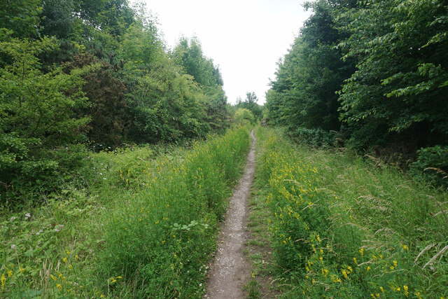
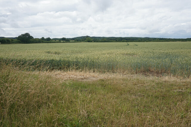
Surrounded by lush greenery, the pond is a haven for various species of flora and fauna, making it a hotspot for nature enthusiasts and bird watchers. The surrounding area is blessed with a diverse ecosystem, with numerous trees and shrubs providing a natural habitat for a wide range of wildlife.
The water in Big Pond is crystal clear and teeming with life. It is primarily fed by freshwater springs, ensuring a constant supply of clean water. This results in a thriving ecosystem, supporting a variety of fish species such as perch, pike, and carp. Fishing enthusiasts often visit the pond to indulge in their favorite pastime and try their luck in catching the abundant fish.
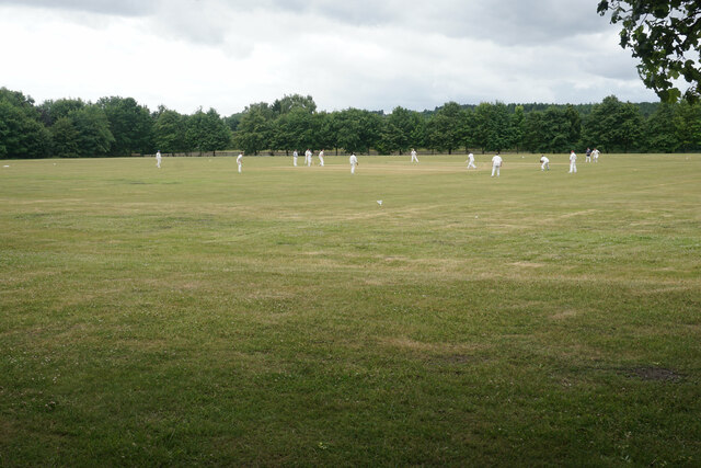
In addition to its natural beauty, Big Pond also offers recreational activities for visitors. There are designated areas for swimming and boating, providing opportunities for water-based fun and relaxation. The calm and serene atmosphere of the pond makes it an ideal spot for picnics and leisurely walks.
Overall, Big Pond in Nottinghamshire is a scenic and vibrant body of water that serves as a haven for both wildlife and humans alike. Its natural beauty, diverse ecosystem, and recreational activities make it a cherished destination for nature lovers and outdoor enthusiasts.
If you have any feedback on the listing, please let us know in the comments section below.
Big Pond Images
Images are sourced within 2km of 53.057444/-1.2362328 or Grid Reference SK5151. Thanks to Geograph Open Source API. All images are credited.


Big Pond is located at Grid Ref: SK5151 (Lat: 53.057444, Lng: -1.2362328)
Administrative County: Nottinghamshire
District: Ashfield
Police Authority: Nottinghamshire
What 3 Words
///centrally.rear.transmitted. Near Hucknall, Nottinghamshire
Nearby Locations
Related Wikis
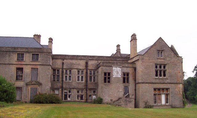
Annesley Hall, Nottinghamshire
Annesley Hall is a Grade II listed country house near Annesley in Nottinghamshire, England and the ancestral home of the Chaworth-Musters family. The 13th...
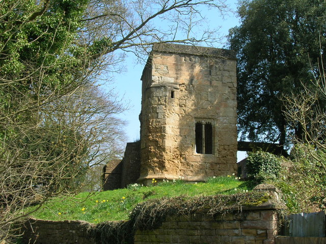
Annesley Old Church
Annesley Old Church or the Church of All Saints, Annesley Park, is a disused church in a ruinous condition which stands on a mound near to Annesley Hall...
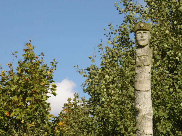
Newstead, Nottinghamshire
Newstead is a village and civil parish in Nottinghamshire, England in the borough of Gedling. It is situated between the city of Nottingham and the towns...
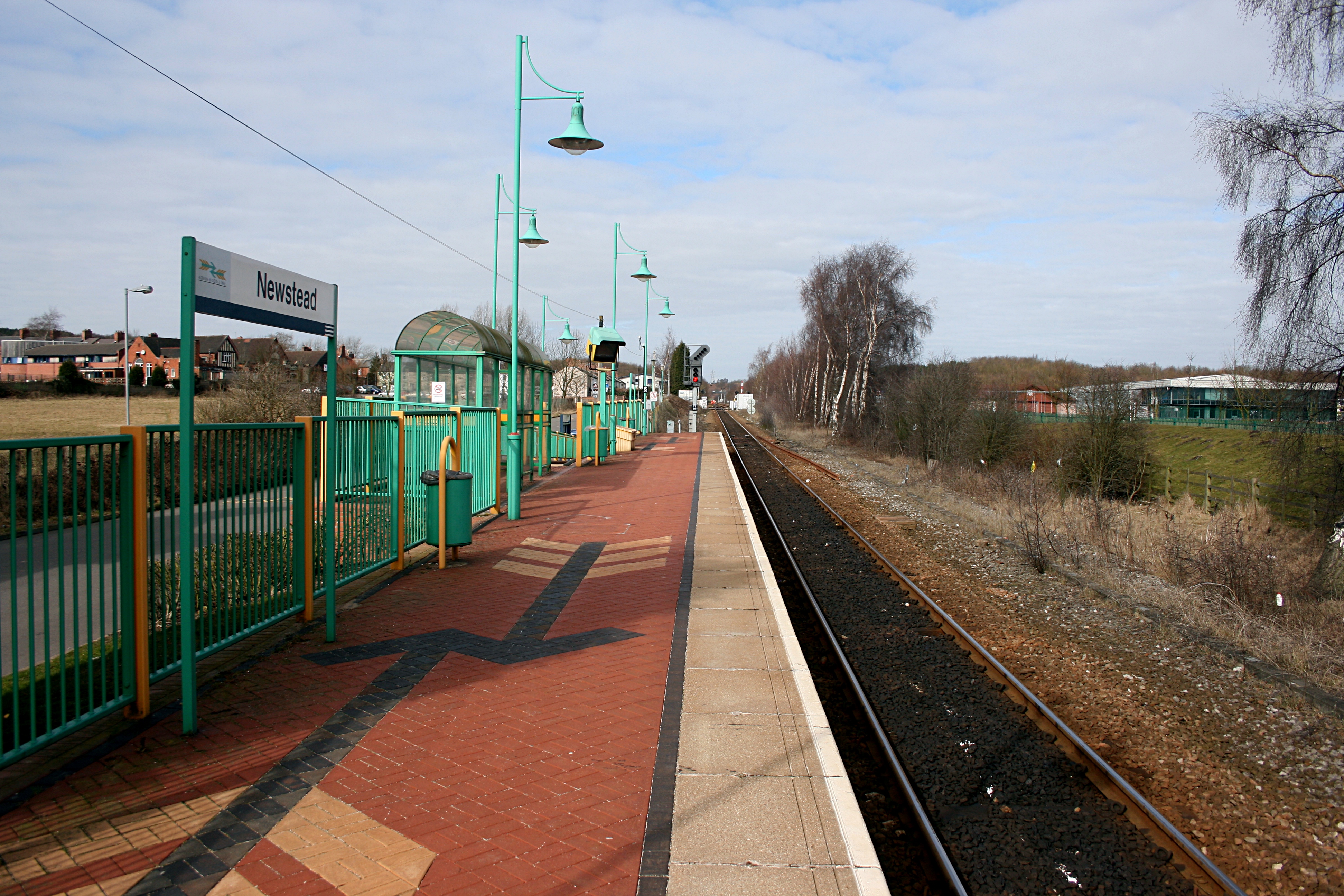
Newstead railway station
Newstead railway station serves the village of Newstead in Nottinghamshire, England. Newstead was the original terminus of the Robin Hood Line when it...

Misk Hills
The Misk Hills consist of a gently undulating sandstone plateau between Hucknall and Annesley in the county of Nottinghamshire in the North East Midlands...

The National Academy
The National Church of England Academy, formerly known as The National School, is a Church of England secondary school in the Ashfield district of Nottinghamshire...

Newstead and Annesley railway station
Newstead and Annesley railway station was a station on the Great Northern Railway's Nottingham to Shirebrook line. == History == == Present day == No trace...
Linby railway station
Linby railway station was a station on what is now the Robin Hood Line. It was used predominantly to serve Linby Colliery. It shut in 1964. When the line...
Nearby Amenities
Located within 500m of 53.057444,-1.2362328Have you been to Big Pond?
Leave your review of Big Pond below (or comments, questions and feedback).