Marlborough Pool
Lake, Pool, Pond, Freshwater Marsh in Oxfordshire West Oxfordshire
England
Marlborough Pool
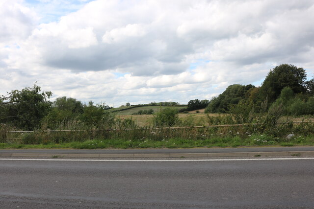
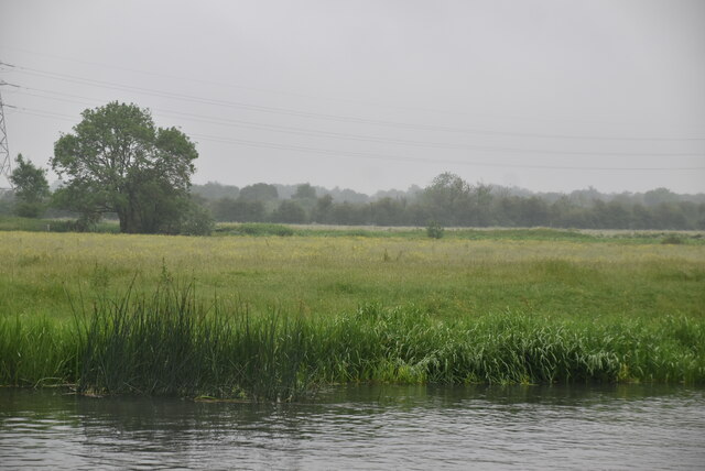
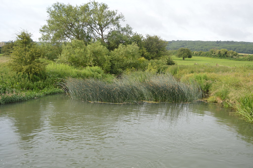
Marlborough Pool, located in Oxfordshire, is a small freshwater lake nestled within the picturesque Marlborough Park. Spanning an area of approximately 3 acres, this tranquil water body provides a serene oasis for visitors seeking relaxation and natural beauty.
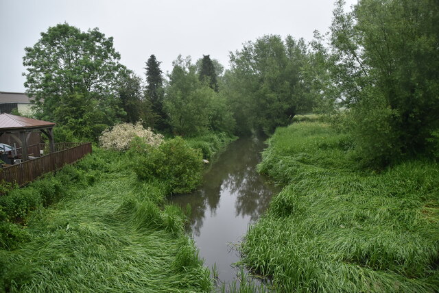
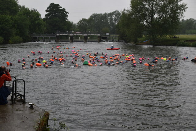
Surrounded by lush greenery and mature trees, Marlborough Pool is a popular destination for nature enthusiasts and those seeking outdoor recreation. The lake's crystal-clear waters offer a haven for various aquatic plants and wildlife, creating a thriving ecosystem. Visitors can spot a variety of waterfowl, including ducks, swans, and herons, gracefully gliding across the surface.
The pool's calm and peaceful ambiance also attracts anglers, who come to enjoy the excellent fishing opportunities it offers. Abundant stocks of fish, including carp, roach, and perch, inhabit the lake's depths, providing an enjoyable experience for both seasoned and novice anglers.
Surrounding the lake is a well-maintained walking trail, allowing visitors to embrace the natural beauty of the area. The trail guides visitors through a diverse landscape, including woodlands, meadows, and wetlands, creating a truly immersive experience.
Marlborough Pool is easily accessible, with ample parking and well-marked pathways. The site offers picnic areas and benches, inviting visitors to relax and soak in the peaceful ambiance. It is also wheelchair and stroller-friendly, ensuring inclusivity for all visitors.
Whether it is for a leisurely stroll, birdwatching, fishing, or simply enjoying a picnic with loved ones, Marlborough Pool is a hidden gem within Oxfordshire, offering a delightful escape into nature.
If you have any feedback on the listing, please let us know in the comments section below.
Marlborough Pool Images
Images are sourced within 2km of 51.788703/-1.3449181 or Grid Reference SP4510. Thanks to Geograph Open Source API. All images are credited.
Marlborough Pool is located at Grid Ref: SP4510 (Lat: 51.788703, Lng: -1.3449181)
Administrative County: Oxfordshire
District: West Oxfordshire
Police Authority: Thames Valley
What 3 Words
///bespoke.headless.habit. Near Eynsham, Oxfordshire
Nearby Locations
Related Wikis

Cassington
Cassington is a village and civil parish in Oxfordshire about 5 miles (8 km) northwest of Oxford. The village lies on gravel strata about 1⁄2 mile (800...

Cassington Canal
The Cassington Canal (also known as the Cassington Cut or the Evenlode Cut) was an early 19th-century canal near Eynsham, Oxfordshire. The canal was built...

Cassington Halt railway station
Cassington Halt was a single platform halt opened by the Great Western Railway on 9 March 1936 on the Oxford, Witney and Fairford Railway to serve the...

River Evenlode
The River Evenlode is a tributary of the Thames in Oxfordshire. It rises near Moreton-in-Marsh, Gloucestershire, in the Cotswold Hills and flows south...
Wytham Ditches and Flushes
Wytham Ditches and Flushes is a 2.7-hectare (6.7-acre) biological Site of Special Scientific Interest north of Oxford in Oxfordshire.These ditches have...

Worton (hamlet), Oxfordshire
Worton is a hamlet in Cassington civil parish, 4.5 miles (7.2 km) northwest of Oxford. == History == The Domesday Book records that in 1086 William FitzOsbern...

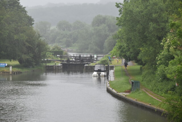
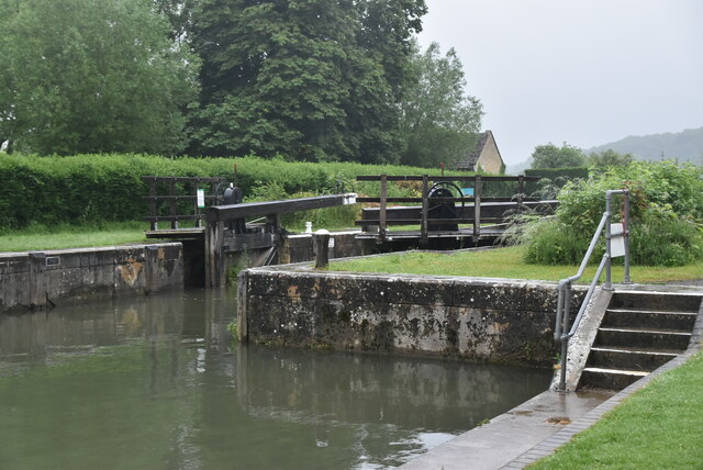
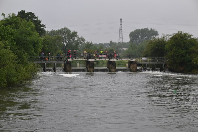
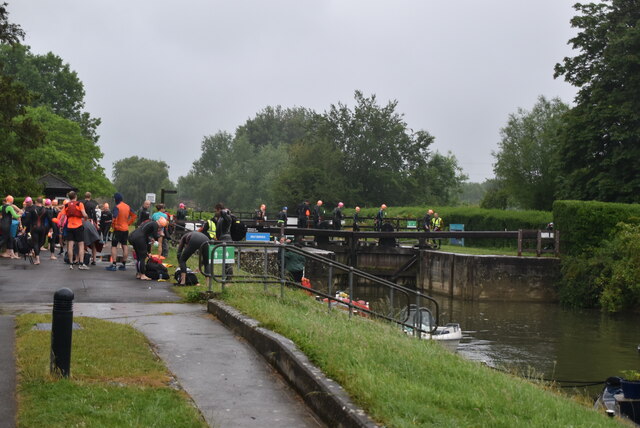
Eynsham Lock
Eynsham Lock is a lock on the River Thames in England. It is on the southern bank near Swinford Oxfordshire. The large village of Eynsham is a little distance...

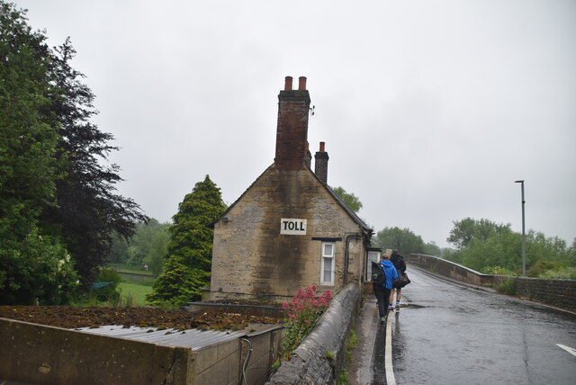
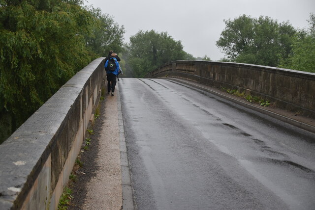
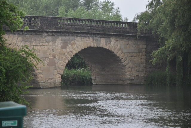
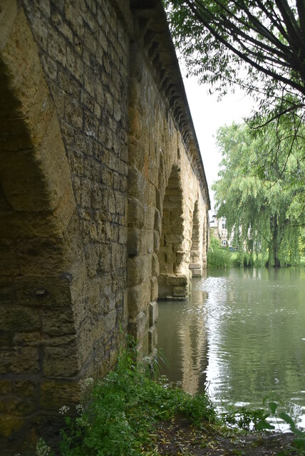
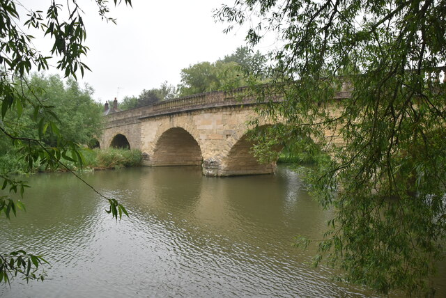
Swinford Toll Bridge
Swinford Toll Bridge is a privately owned toll bridge across the Thames in Oxfordshire, England. It crosses the river just above Eynsham Lock, between...
Nearby Amenities
Located within 500m of 51.788703,-1.3449181Have you been to Marlborough Pool?
Leave your review of Marlborough Pool below (or comments, questions and feedback).