South Black Water

Lake, Pool, Pond, Freshwater Marsh in Shetland

Scotland

South Black Water

Loch of Skellister A shingly bay on the NW shore of the Loch of Skellister.
Loch of Skellister Credit: David Nicolson

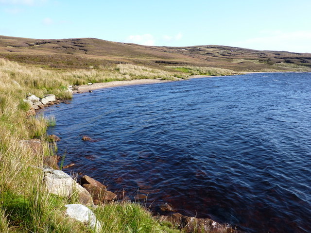
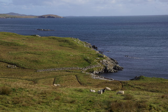
South Black Water is a small freshwater marsh located in the Shetland Islands, Scotland. Nestled amidst the stunning natural beauty of the islands, this marsh serves as an important habitat for a diverse range of plant and animal species.

The marsh is classified as a lake, pool, or pond due to its relatively small size, covering an area of approximately 2 hectares. It is surrounded by lush vegetation, including reeds, sedges, and grasses, which provide essential shelter and nesting sites for numerous bird species.

The water in South Black Water is sourced primarily from rainfall and runoff from the surrounding hills. Its freshwater composition makes it an ideal environment for a variety of aquatic organisms such as water insects, mollusks, and small fish. These species, in turn, attract a range of birdlife, including ducks, moorhens, and wading birds, making it a popular spot for birdwatchers.

The marsh is also home to several plant species that thrive in wetland conditions. These include water lilies, yellow flag iris, and bogbean, adding vibrant colors to the landscape during the summer months.

South Black Water is a valuable ecological site that supports biodiversity and plays a role in water filtration and purification. It offers a tranquil and picturesque setting for visitors to enjoy nature and observe the diverse wildlife that calls this marsh home.

If you have any feedback on the listing, please let us know in the comments section below.

South Black Water Images

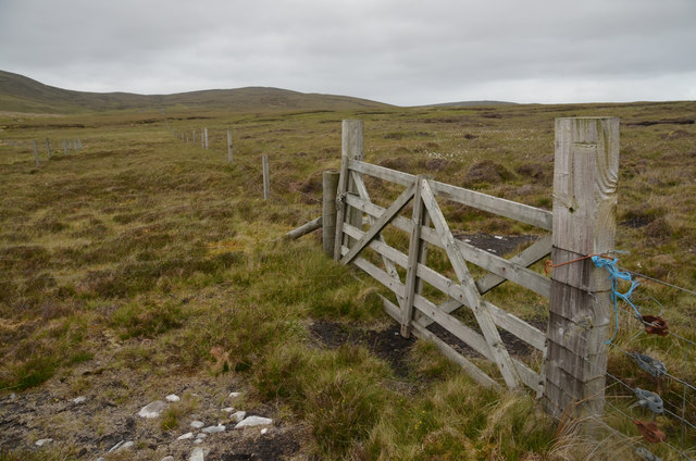
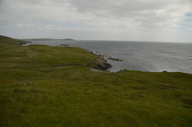
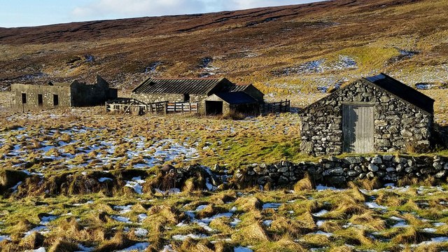
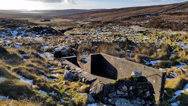
Images are sourced within 2km of 60.288528/-1.1826353 or Grid Reference HU4556. Thanks to Geograph Open Source API. All images are credited.

Loch of Skellister A shingly bay on the NW shore of the Loch of Skellister.
Loch of Skellister
A shingly bay on the NW shore of the Loch of Skellister.
Loch of Skellister A bright and breezy day shows how this beach was formed on the Loch of Skellister.
Loch of Skellister
A bright and breezy day shows how this beach was formed on the Loch of Skellister.
South Nesting View of the road.
South Nesting
View of the road.
Burn of Grunnawater Small road bridge over the Burn of Grunnawater
Burn of Grunnawater
Small road bridge over the Burn of Grunnawater
Muckle Ayre View out to the sea at Muckle Ayre
Muckle Ayre
View out to the sea at Muckle Ayre
Coastal road View along the B9075 road
Coastal road
View along the B9075 road
Moorland at Flamister, Shetland
Moorland Gateway near Flamister, South Nesting, Shetland
Boadie Geo, South Nesting, Shetland Part of the coastline on the east coast of mainland Shetland
Boadie Geo, South Nesting, Shetland
Part of the coastline on the east coast of mainland Shetland
Croft at Flamister Croft and outbuildings at Flamister.
Croft at Flamister
Croft and outbuildings at Flamister.
Sheepfold and Dipper Sheepfold shown on OS Maps with more modern sheep dipper built onto it. Croft of Flamister in background.
Sheepfold and Dipper
Sheepfold shown on OS Maps with more modern sheep dipper built onto it. Croft of Flamister in background.
Stone Structure at Burn of Forse Small stone structure perched on the bank of the Burn of Forse with waterfall in background.
Stone Structure at Burn of Forse
Small stone structure perched on the bank of the Burn of Forse with waterfall in background.
Peat Hags on Dud of Flamister Large volumes of peat have been lost here with grasses beginning to recolonize the stony till underneath. The Loch of Girlsta can be seen in the background.
Peat Hags on Dud of Flamister
Large volumes of peat have been lost here with grasses beginning to recolonize the stony till underneath. The Loch of Girlsta can be seen in the background.
Viking Energy mast One of Viking Energy's masts that dot the central mainland of Shetland.
Viking Energy mast
One of Viking Energy's masts that dot the central mainland of Shetland.
Boadie Geo, South Nesting
Digger at Clubb of Newing, South Nesting
West Voe of Skellister
The road to Bretabister The B9075 alongside the West Voe of Skellister.
The road to Bretabister
The B9075 alongside the West Voe of Skellister.
Show me another place!

South Black Water is located at Grid Ref: HU4556 (Lat: 60.288528, Lng: -1.1826353)

Unitary Authority: Shetland Islands

Police Authority: Highlands and Islands

What 3 Words

///flask.eternally.testy. Near Vidlin, Shetland Islands

Related Wikis

Geopark Shetland

Geopark Shetland is the name used by the Geopark formally established in September 2009 on its entry into the European Geoparks Network. The Geopark extends...

RAF Catfirth

RAF Catfirth was a First World War seaplane base located on the island of Mainland in the Shetland Islands, Scotland. The base was under the control of...

Viking Wind Farm

Viking Wind Farm is a large on-shore wind farm under construction in the Shetland Islands which is being developed by Viking Energy, a partnership between...

Nesting, Shetland

Nesting is a parish in the Shetland Islands, Scotland. It includes a part of the east Shetland Mainland, measuring about twelve by four miles (19 by 6...

Nearby Amenities

Located within 500m of 60.288528,-1.1826353
Construction Power: generator
Generator Method: wind_turbine
Generator Output Electricity: 4.2 MW
Generator Source: wind
Generator Type: horizontal_axis
Manufacturer: Vestas
Model: V117-4.2 MW
Model Wikidata: Q117805651
Power: generator
Lat/Long: 60.2925655/-1.1820603
The data included in this document is from www.openstreetmap.org. The data is made available under ODbL.

Have you been to South Black Water?

Leave your review of South Black Water below (or comments, questions and feedback).