Ladie Loch
Lake, Pool, Pond, Freshwater Marsh in Shetland
Scotland
Ladie Loch
The requested URL returned error: 429 Too Many Requests
If you have any feedback on the listing, please let us know in the comments section below.
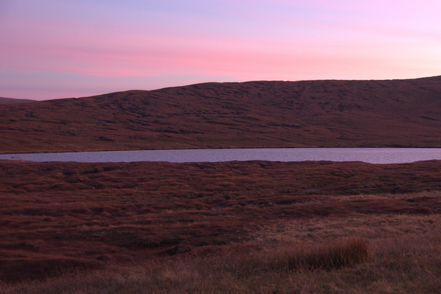
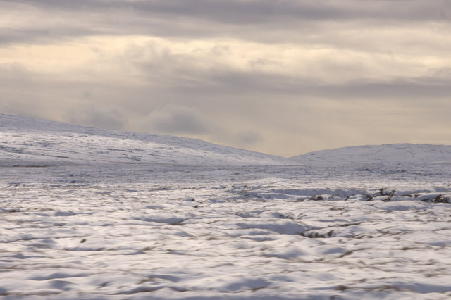
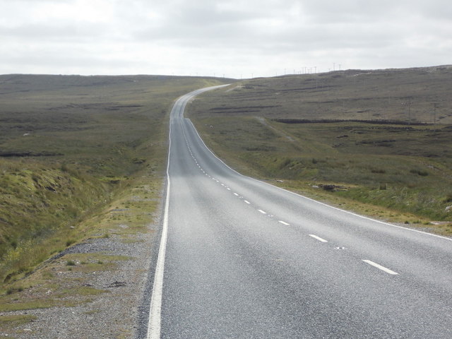
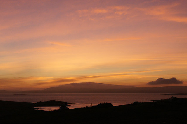
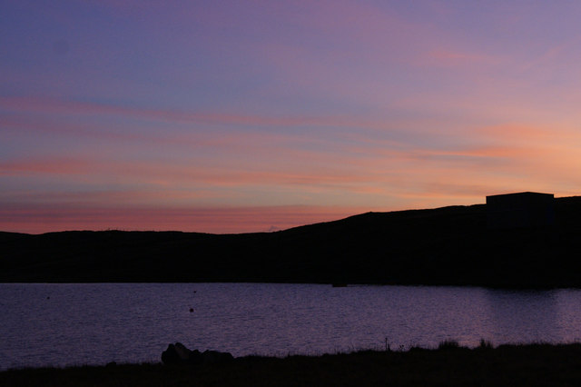
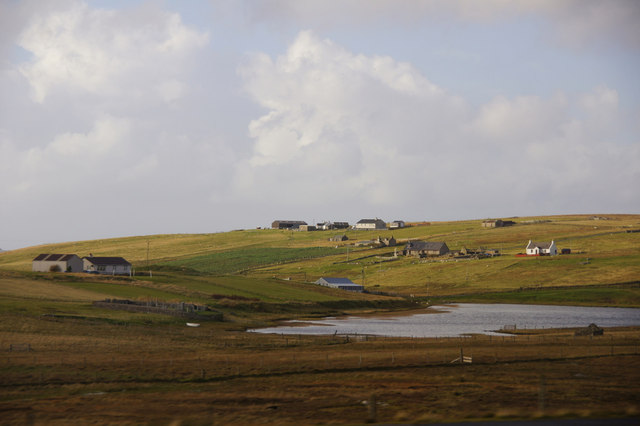
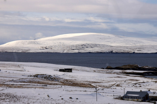
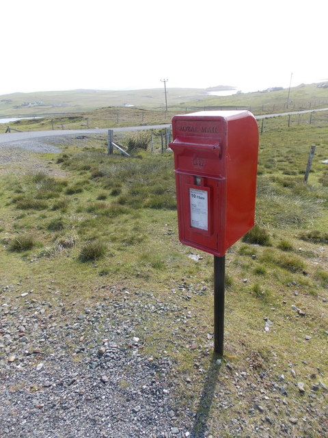
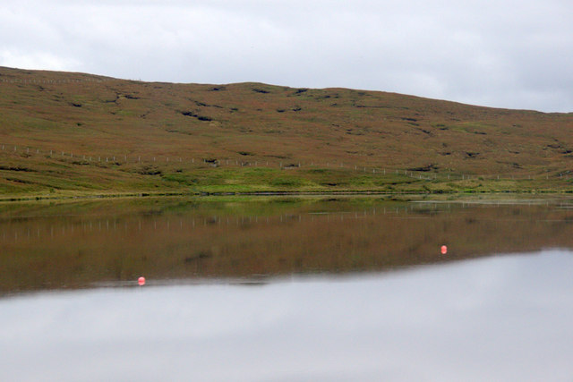
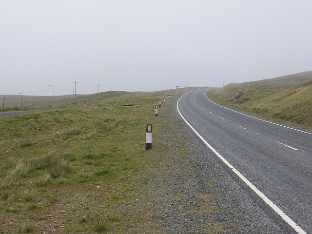
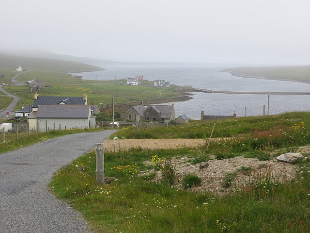
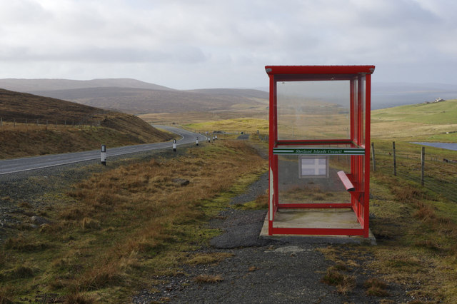
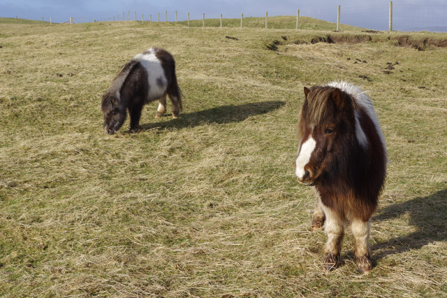
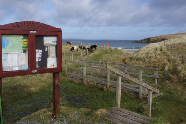
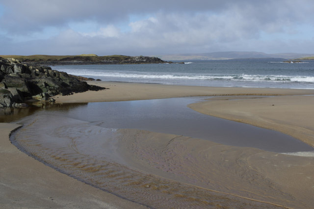
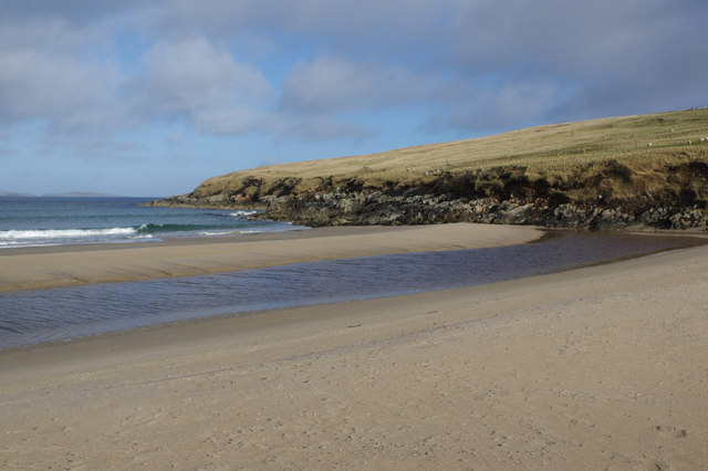
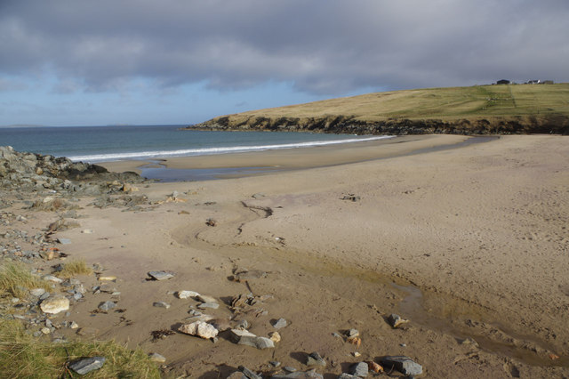
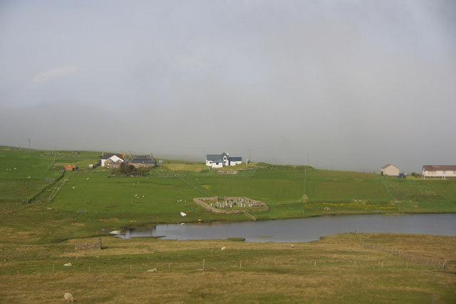
Ladie Loch Images
Images are sourced within 2km of 60.591979/-1.1755106 or Grid Reference HU4590. Thanks to Geograph Open Source API. All images are credited.
Ladie Loch is located at Grid Ref: HU4590 (Lat: 60.591979, Lng: -1.1755106)
Unitary Authority: Shetland Islands
Police Authority: Highlands and Islands
What 3 Words
///insects.excavated.jets. Near Ulsta, Shetland Islands
Nearby Locations
Related Wikis

West Sandwick
West Sandwick is a settlement on the island of Yell, Shetland Islands, Scotland. It is one of the few settlements in the west of the island. West Sandwick...

Muckle Holm, Yell Sound
Muckle Holm is a small island in Shetland. It is in Yell Sound, near the Northmavine. It is 23 metres (75 ft) at its highest point. There is a lighthouse...

Yell Sound
Yell Sound is the strait running between Yell and Mainland, Shetland, Scotland. It is the boundary between the Mainland and the North Isles and it contains...

Yell, Shetland
Yell (Scots: Yell) is one of the North Isles of Shetland, Scotland. In the 2011 census it had a usually resident population of 966. It is the second largest...
Nearby Amenities
Located within 500m of 60.591979,-1.1755106Have you been to Ladie Loch?
Leave your review of Ladie Loch below (or comments, questions and feedback).